Elevation of Hjerlhedevej 14, Vinderup, Denmark
Location: Denmark > Holstebro Municipality > Vinderup >
Longitude: 8.8702089
Latitude: 56.4849428
Elevation: 8m / 26feet
Barometric Pressure: 101KPa
Elevation Map:
Satellite Map:
Related Photos:
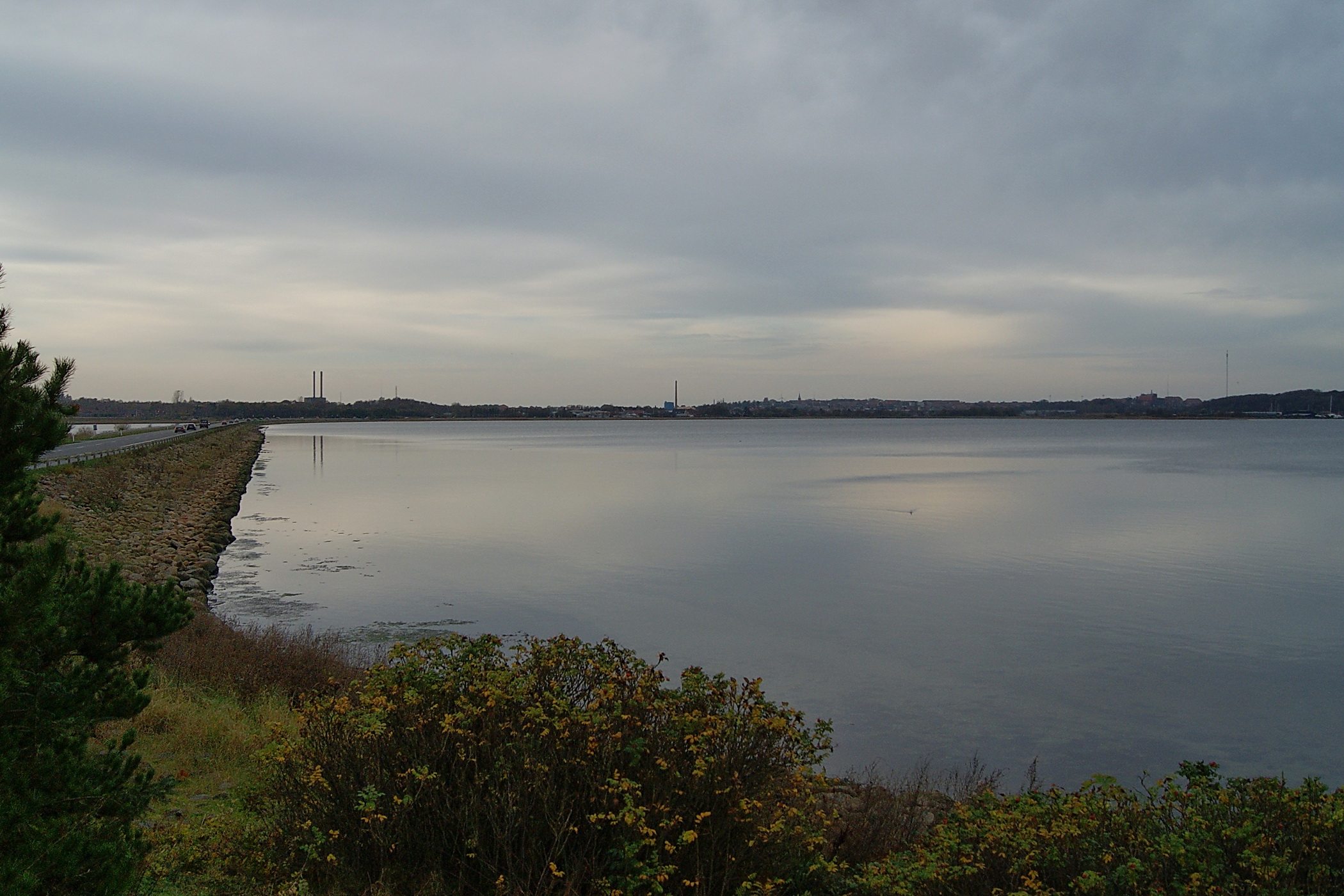
View to Skive
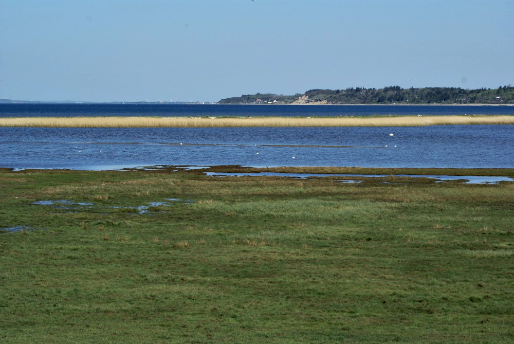
View from Sis' new backyard

View from Sis' new backyard

Thorsminde 360 fjord view
Topographic Map of Hjerlhedevej 14, Vinderup, Denmark
Find elevation by address:

Places near Hjerlhedevej 14, Vinderup, Denmark:
Vinderup
Nymøllevej 13
Spøttrup
Viborgvej 31
Aulum
Hjerm
Holstebro
Stoholm
Jesperhus Feriepark
Holstebro Municipality
Nykobing Mors
Karup
Morsø Municipality
Limfjord
Stavildvej 2a
Central Denmark Region
Thisted
Christiansgave Park
Viborg
Skals
Recent Searches:
- Elevation of Corso Fratelli Cairoli, 35, Macerata MC, Italy
- Elevation of Tallevast Rd, Sarasota, FL, USA
- Elevation of 4th St E, Sonoma, CA, USA
- Elevation of Black Hollow Rd, Pennsdale, PA, USA
- Elevation of Oakland Ave, Williamsport, PA, USA
- Elevation of Pedrógão Grande, Portugal
- Elevation of Klee Dr, Martinsburg, WV, USA
- Elevation of Via Roma, Pieranica CR, Italy
- Elevation of Tavkvetili Mountain, Georgia
- Elevation of Hartfords Bluff Cir, Mt Pleasant, SC, USA