Elevation of Jesperhus Feriepark, Legindvej 30, Nykøbing Mors, Denmark
Location: Denmark > Morsø Municipality > Nykobing Mors >
Longitude: 8.8147626
Latitude: 56.7643381
Elevation: 8m / 26feet
Barometric Pressure: 101KPa
Elevation Map:
Satellite Map:
Related Photos:
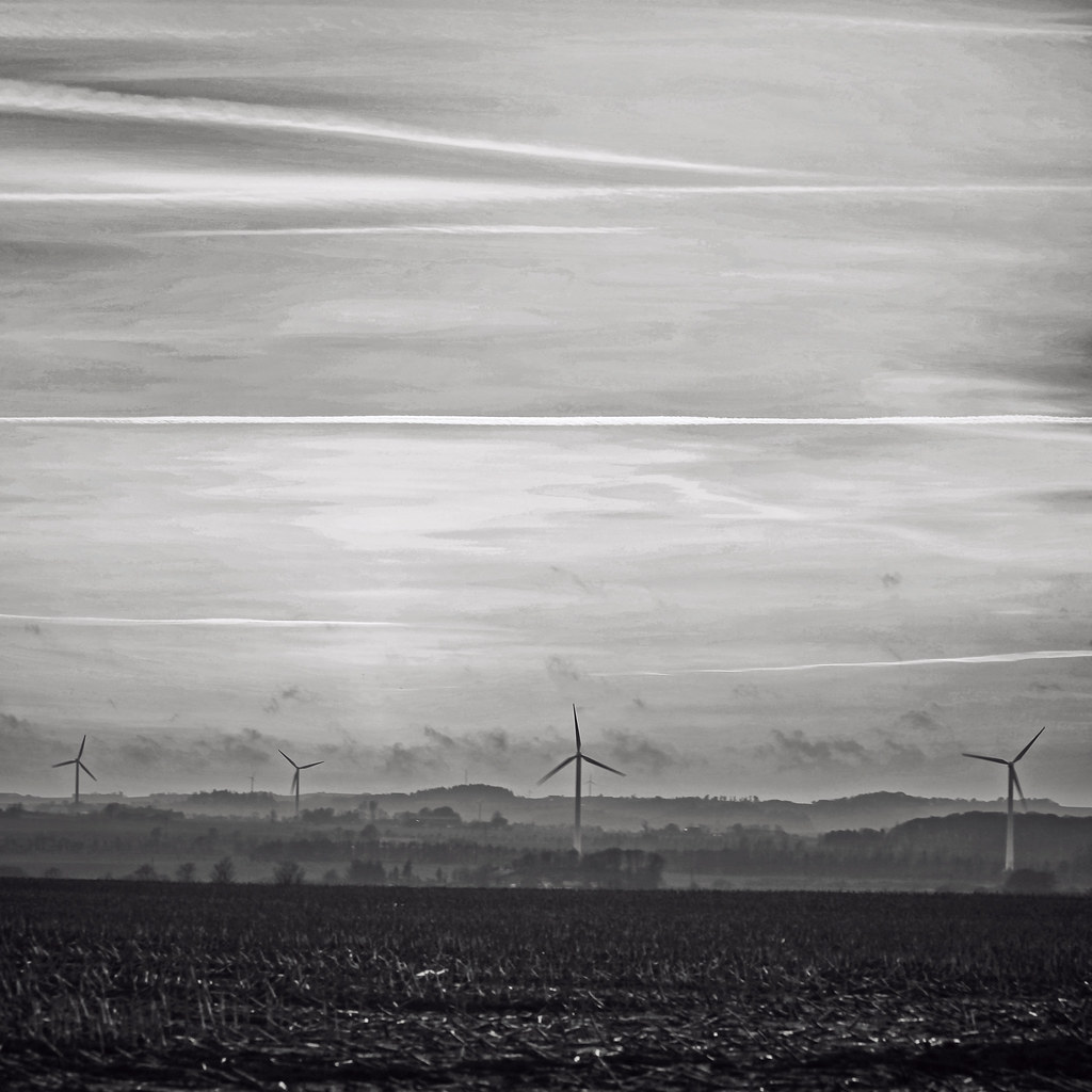
Monochrome Sunset
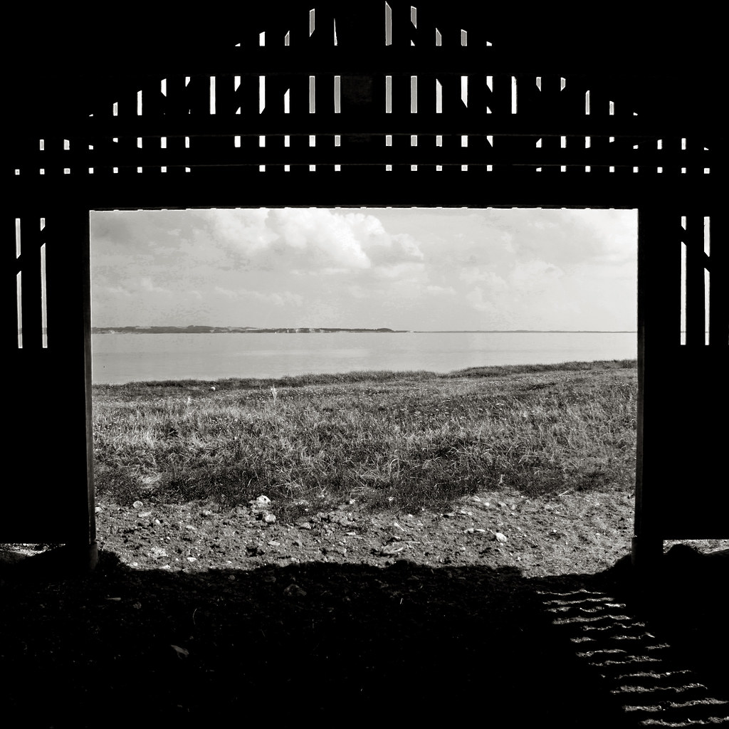
Framed View
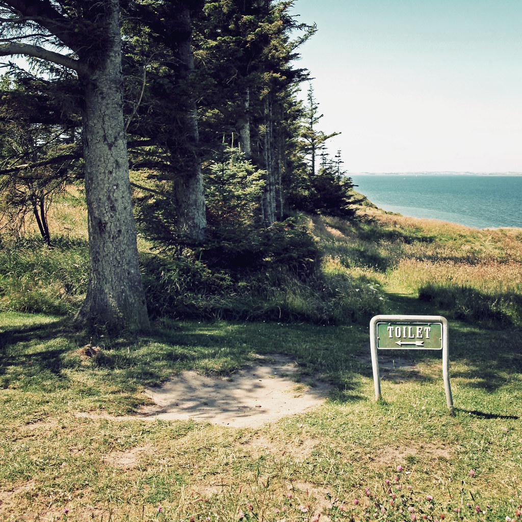
<-- TOILET

Thissing Vig lake
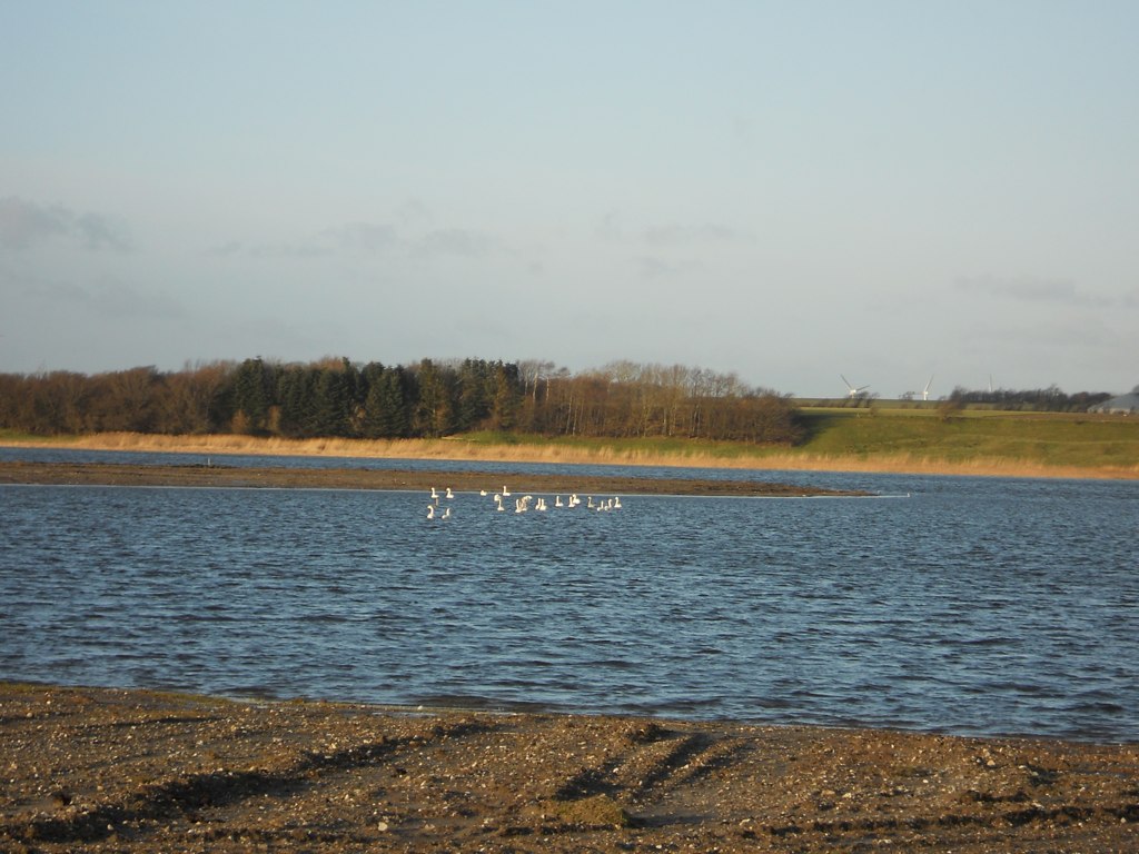
Swan Lake
Topographic Map of Jesperhus Feriepark, Legindvej 30, Nykøbing Mors, Denmark
Find elevation by address:

Places near Jesperhus Feriepark, Legindvej 30, Nykøbing Mors, Denmark:
Nykobing Mors
Morsø Municipality
Nymøllevej 13
Spøttrup
Limfjord
Thisted
Christiansgave Park
Hjerlhedevej 14
Vinderup
Viborgvej 31
Thisted Municipality
Hjerm
Hanstholm
Kromarken 170
Molevej 29
Auktionsgade 11
Ranum
Stoholm
Holstebro
Holstebro Municipality
Recent Searches:
- Elevation of Corso Fratelli Cairoli, 35, Macerata MC, Italy
- Elevation of Tallevast Rd, Sarasota, FL, USA
- Elevation of 4th St E, Sonoma, CA, USA
- Elevation of Black Hollow Rd, Pennsdale, PA, USA
- Elevation of Oakland Ave, Williamsport, PA, USA
- Elevation of Pedrógão Grande, Portugal
- Elevation of Klee Dr, Martinsburg, WV, USA
- Elevation of Via Roma, Pieranica CR, Italy
- Elevation of Tavkvetili Mountain, Georgia
- Elevation of Hartfords Bluff Cir, Mt Pleasant, SC, USA