Elevation of Stately Avenue, Stately Ave, Fredericksburg, VA, USA
Location: United States > Virginia > Fredericksburg >
Longitude: -77.544596
Latitude: 38.4409705
Elevation: 80m / 262feet
Barometric Pressure: 100KPa
Elevation Map:
Satellite Map:
Related Photos:

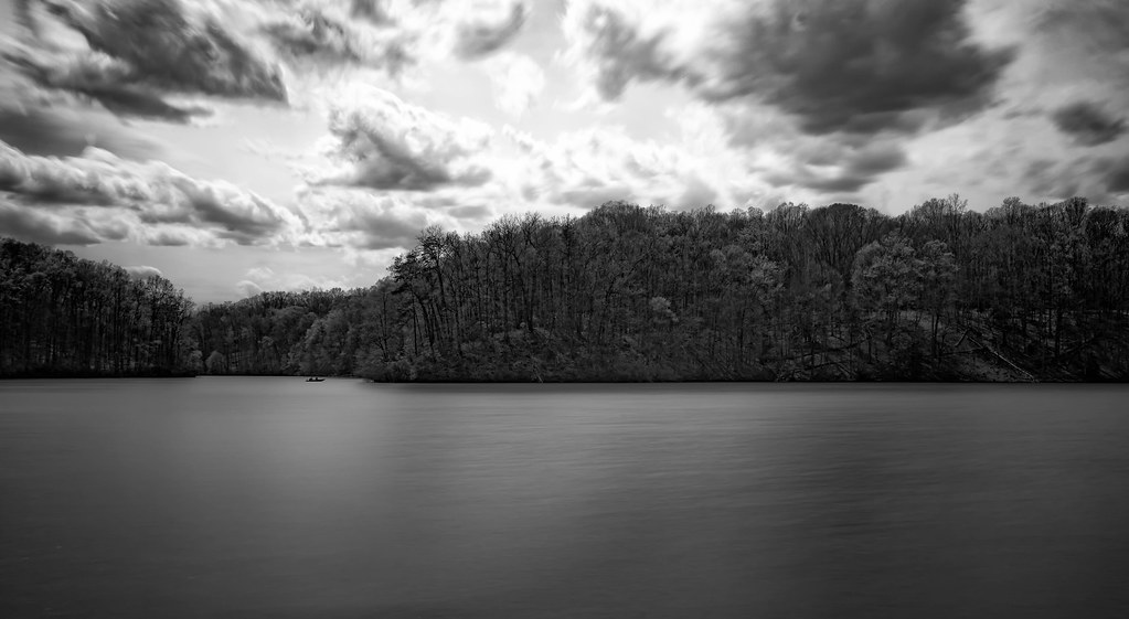
Rappahannock River Bank

Boardwalk to Government Island
Government Island Quarry

Government Island

Mountain View Vol. Rescue Squad

Stafford Marketplace

Embrey Mill Subdivision (Phase 1) Stafford County

Embrey Mill Subdivision by Newland Communities
Embrey Mill Community Pool, North Stafford

Campus View

Richland Forest Subdivision, Stafford County

Lake Estates in Stafford, Virginia
Belmont Pavilion

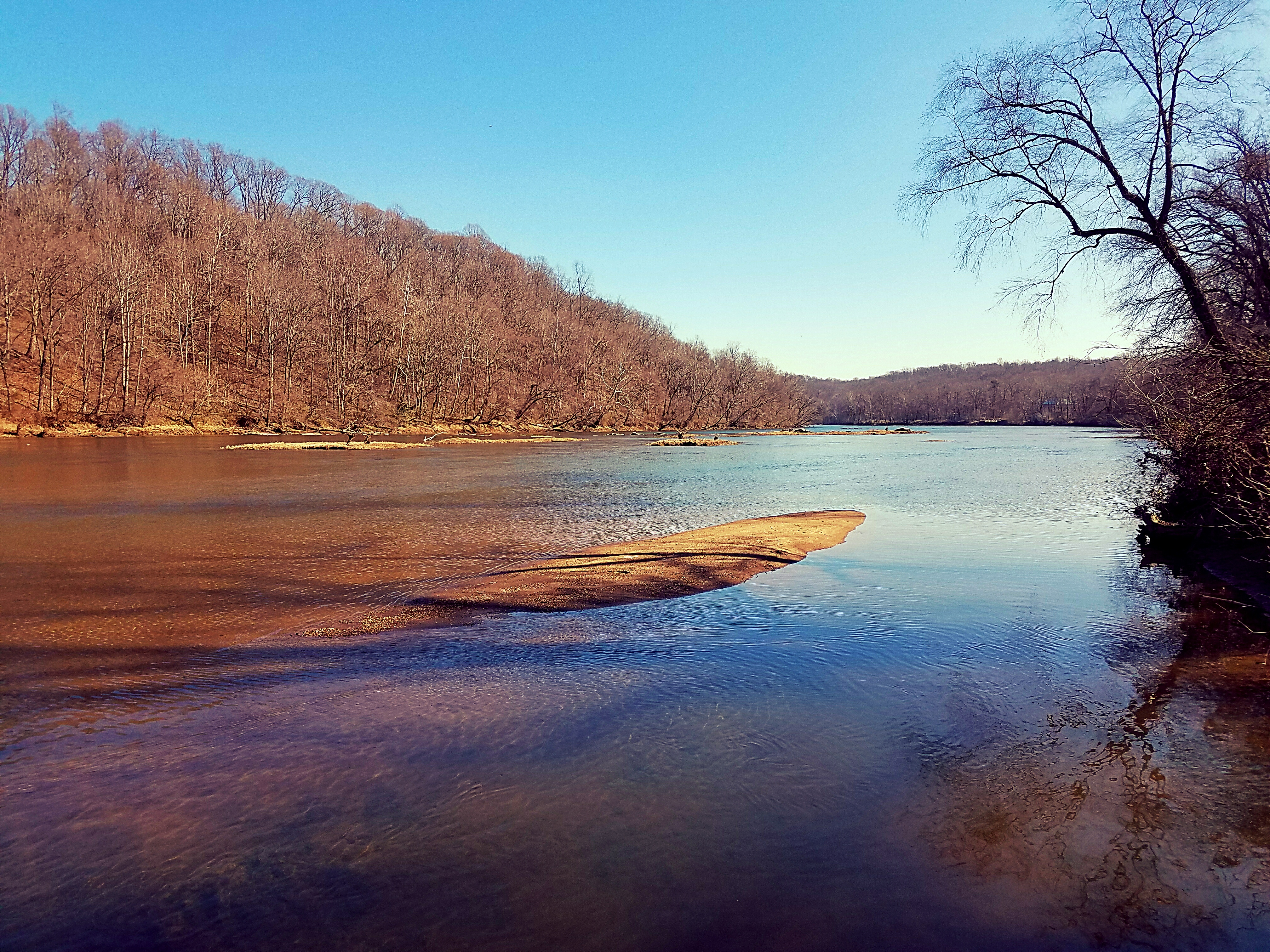
View of the Rappahannock River

View of the Rappahannock River

Genie S 85

Sundae Bloody Sundae (310/365)

Melchers Studio Gallery

Boom! 50,000 Views - Thanks, all!!!
Mountain View Vol. Rescue Squad

Basking In the Morning Sun
Motts Run Reservior

fishing the Rappahannock River

Rappahannock Sunset

Rapphannock River Fredericksburg VA-(Explored)

Carl's Frozen Custard, Fredericksburg, VA

Morning in the Rappahannock

Early Morning on the Rappahannock River

Carl's Frozen Custard, Fredericksburg, VA

Stafford County, Va.

Spotsylvania County, Va.
Sights from today's walk at Motts.

Carl's Frozen Custard, Fredericksburg, VA (3)

Rappahannock River

Culpeper County, Va.

Rappahannock River in Spotsylvania County, Va.

Culpeper County, Va.

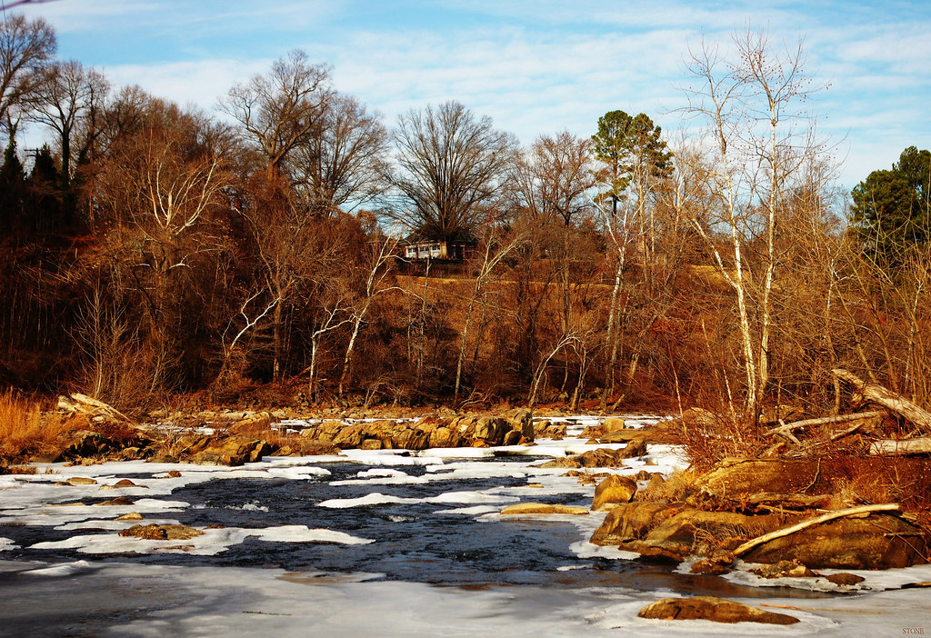
Icy River
Above it All
Topographic Map of Stately Avenue, Stately Ave, Fredericksburg, VA, USA
Find elevation by address:

Places near Stately Avenue, Stately Ave, Fredericksburg, VA, USA:
Stately Avenue
Poplar Road
1010 Bailey Ct
354 Hartwood Rd
8 Campbell Ct
339 Richland Rd
67 Cardinal Crest Drive
692 Stefaniga Rd
322 Rock Hill Church Rd
Rock Hill
Shelton Shop Rd, Stafford, VA, USA
1691 Hartwood Rd
Warrenton Rd, Fredericksburg, VA, USA
20 Whitetail Way
20 Whitetail Way
272 Spotted Tavern Rd
Hartwood
7 Cattail Ct
480 Holly Corner Rd
305 Renegade Dr
Recent Searches:
- Elevation of Corso Fratelli Cairoli, 35, Macerata MC, Italy
- Elevation of Tallevast Rd, Sarasota, FL, USA
- Elevation of 4th St E, Sonoma, CA, USA
- Elevation of Black Hollow Rd, Pennsdale, PA, USA
- Elevation of Oakland Ave, Williamsport, PA, USA
- Elevation of Pedrógão Grande, Portugal
- Elevation of Klee Dr, Martinsburg, WV, USA
- Elevation of Via Roma, Pieranica CR, Italy
- Elevation of Tavkvetili Mountain, Georgia
- Elevation of Hartfords Bluff Cir, Mt Pleasant, SC, USA