Elevation of Spotted Tavern Rd, Fredericksburg, VA, USA
Location: United States > Virginia > Fredericksburg >
Longitude: -77.602079
Latitude: 38.4632899
Elevation: 109m / 358feet
Barometric Pressure: 100KPa
Elevation Map:
Satellite Map:
Related Photos:
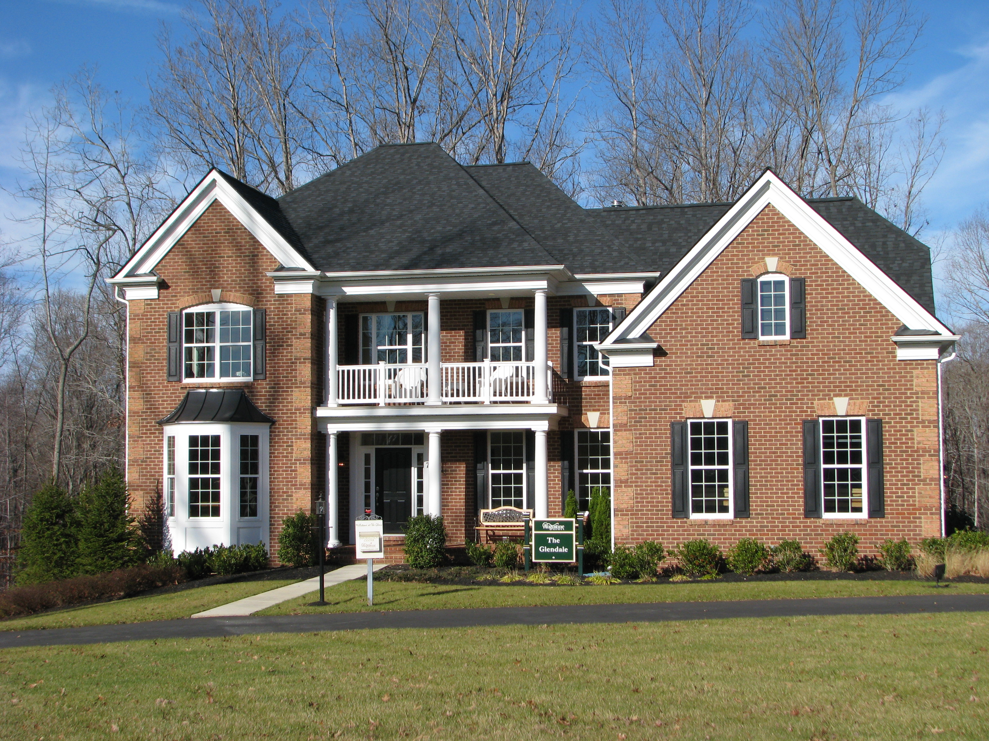
The Glendale Model by Augustine Homes
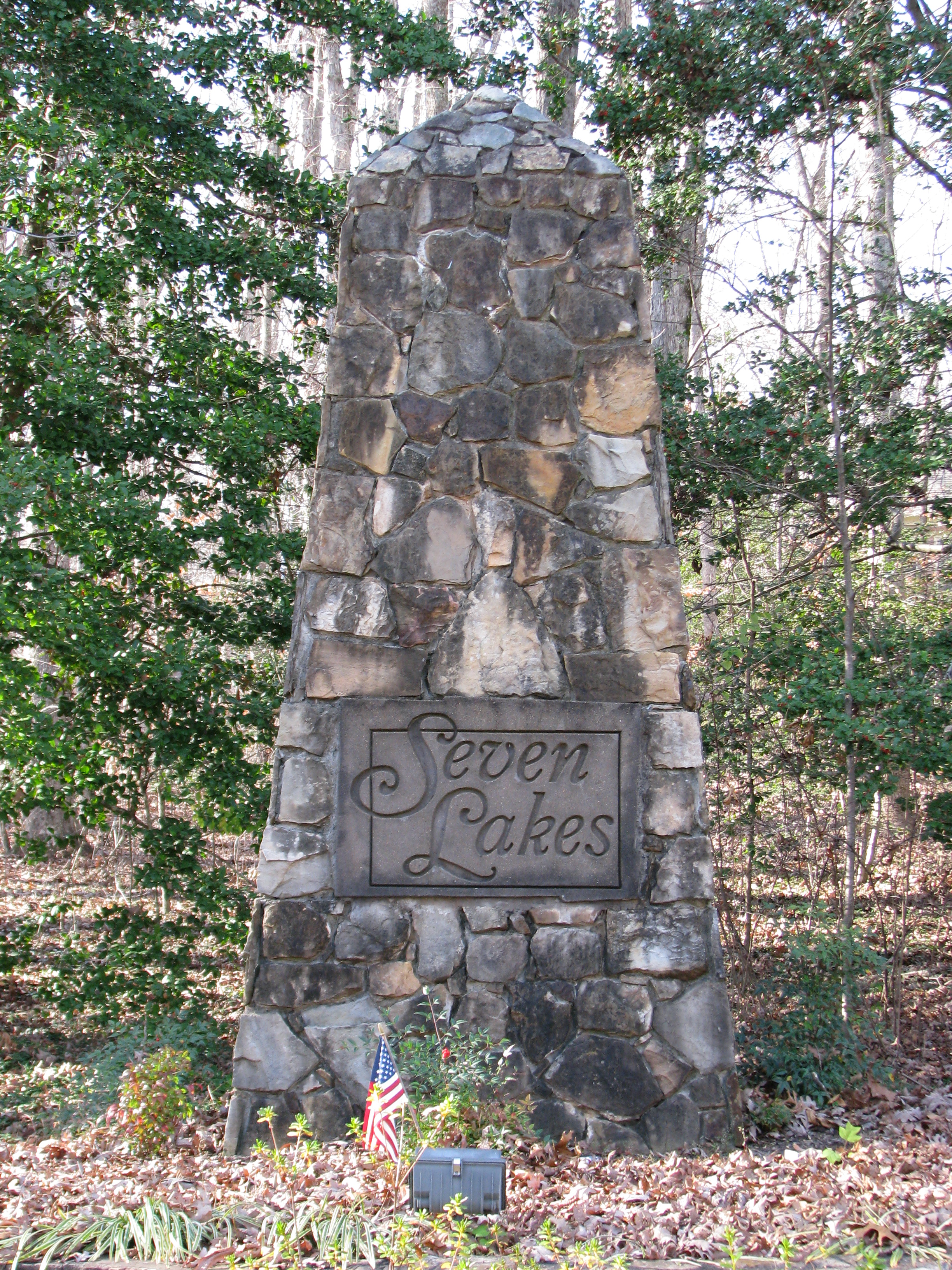
Seven Lakes of Stafford County

Flowering fields in Remington

Veteran of Many Storms

May - I
Lib front door view 11-30-09 004
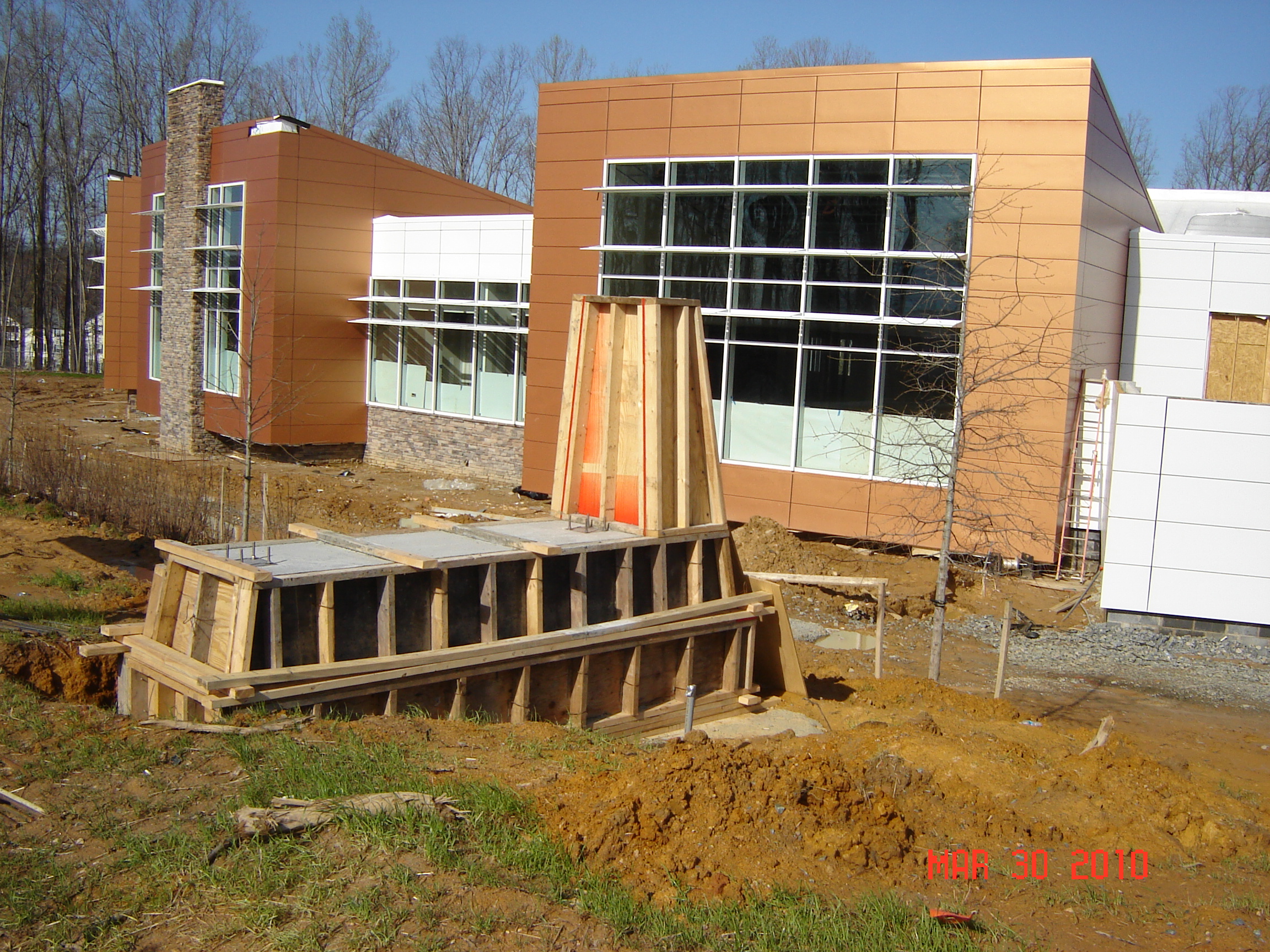
Lib 3-30-10 Plantation view through sign foundation
Autumn Heat Wave

May - III
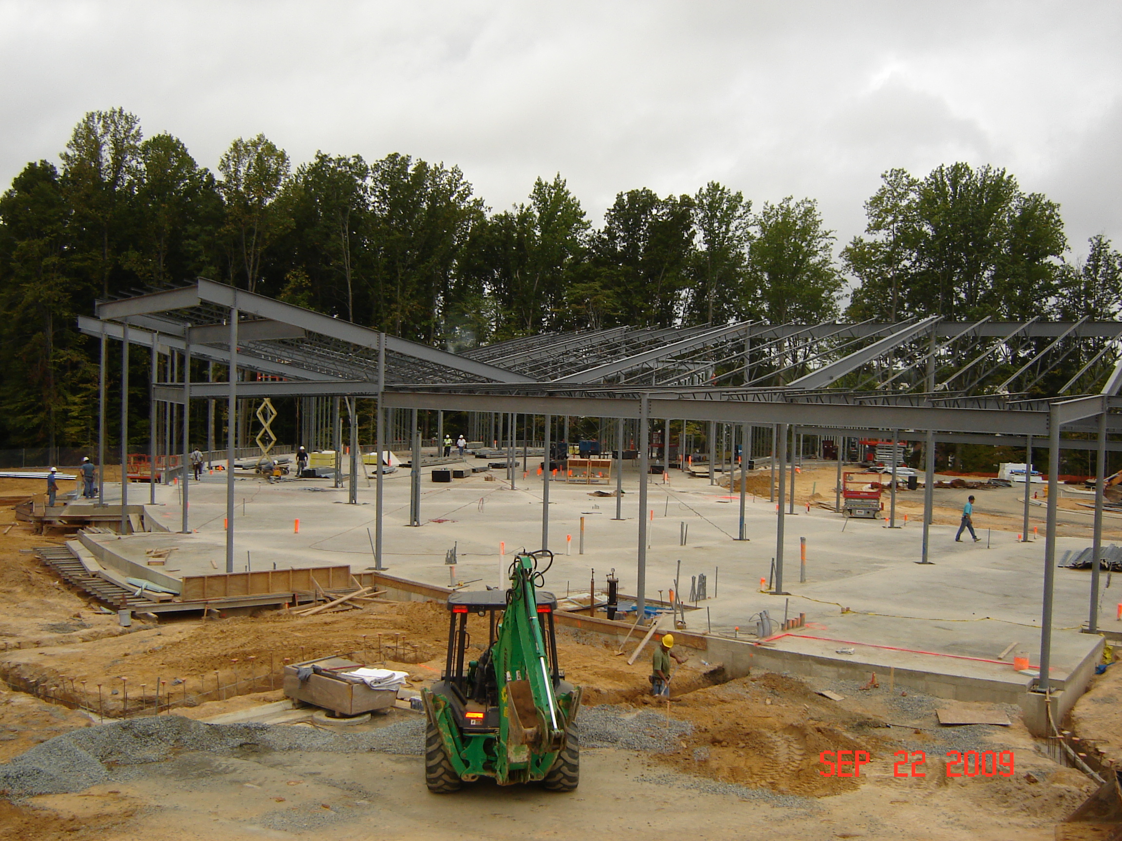
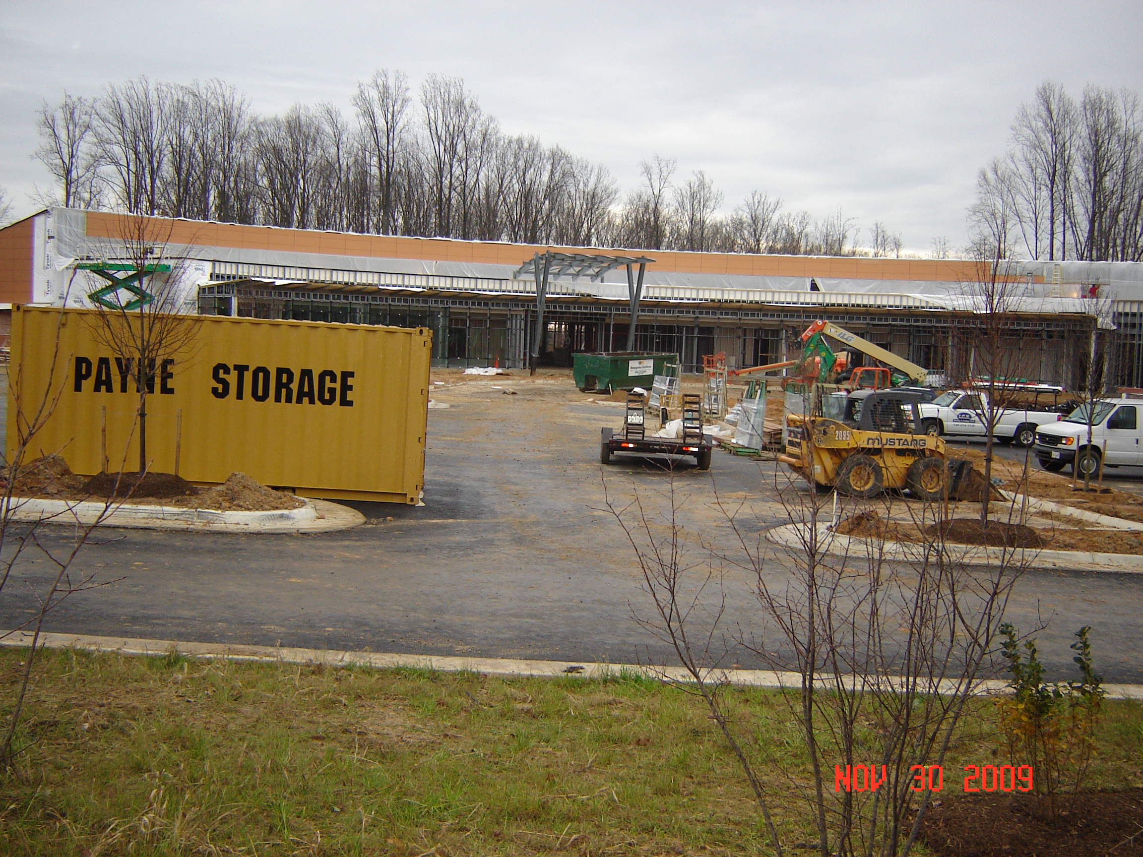
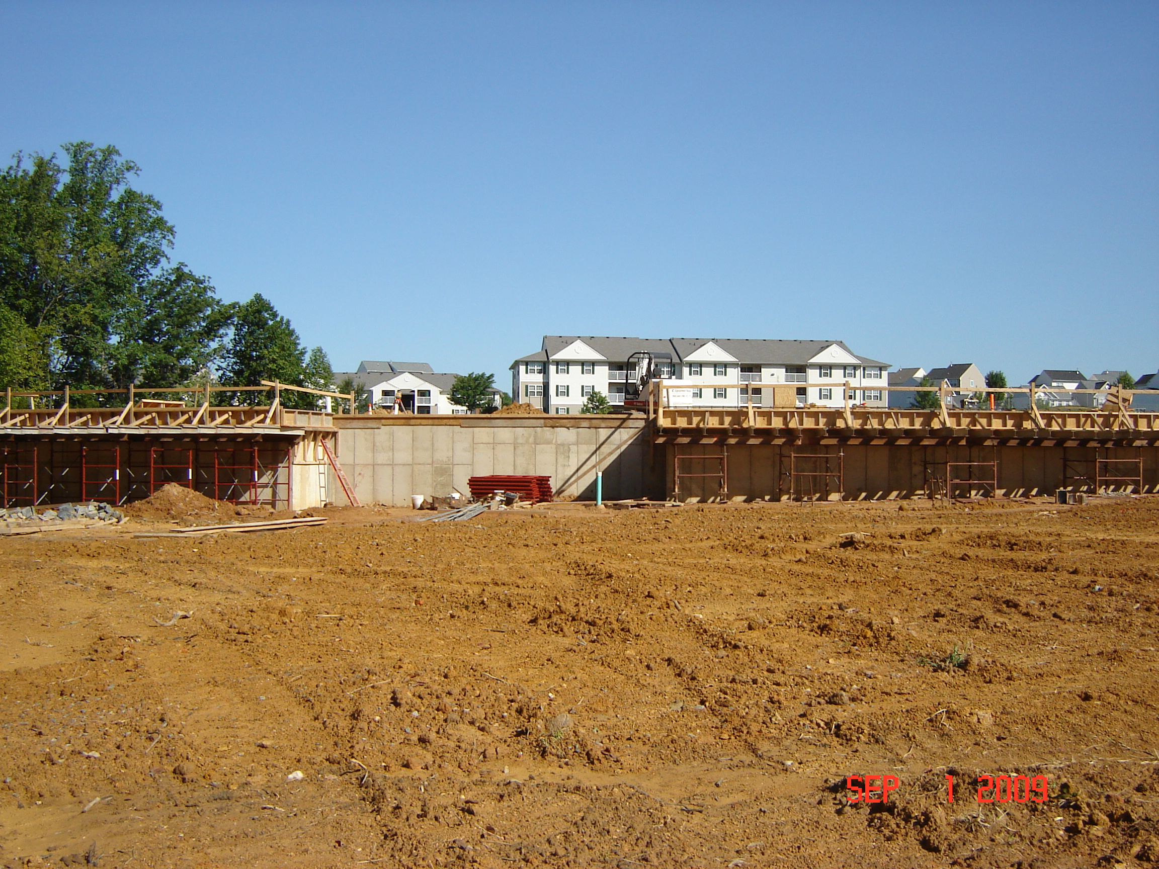
LIB job trailer view 9-22-09 002
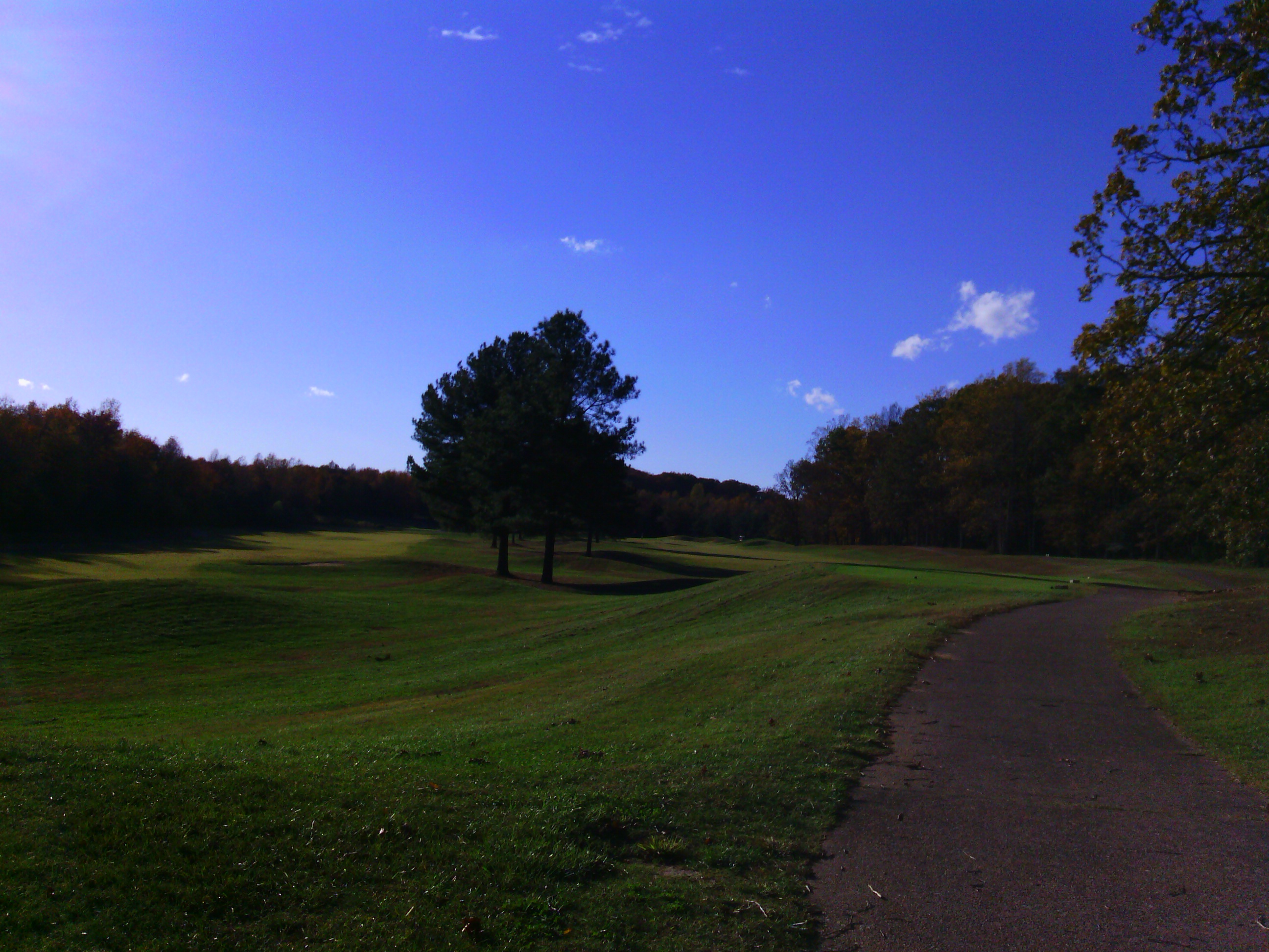
The Gauntlet, Fredericksburg, VA. view from left edge of 13th green
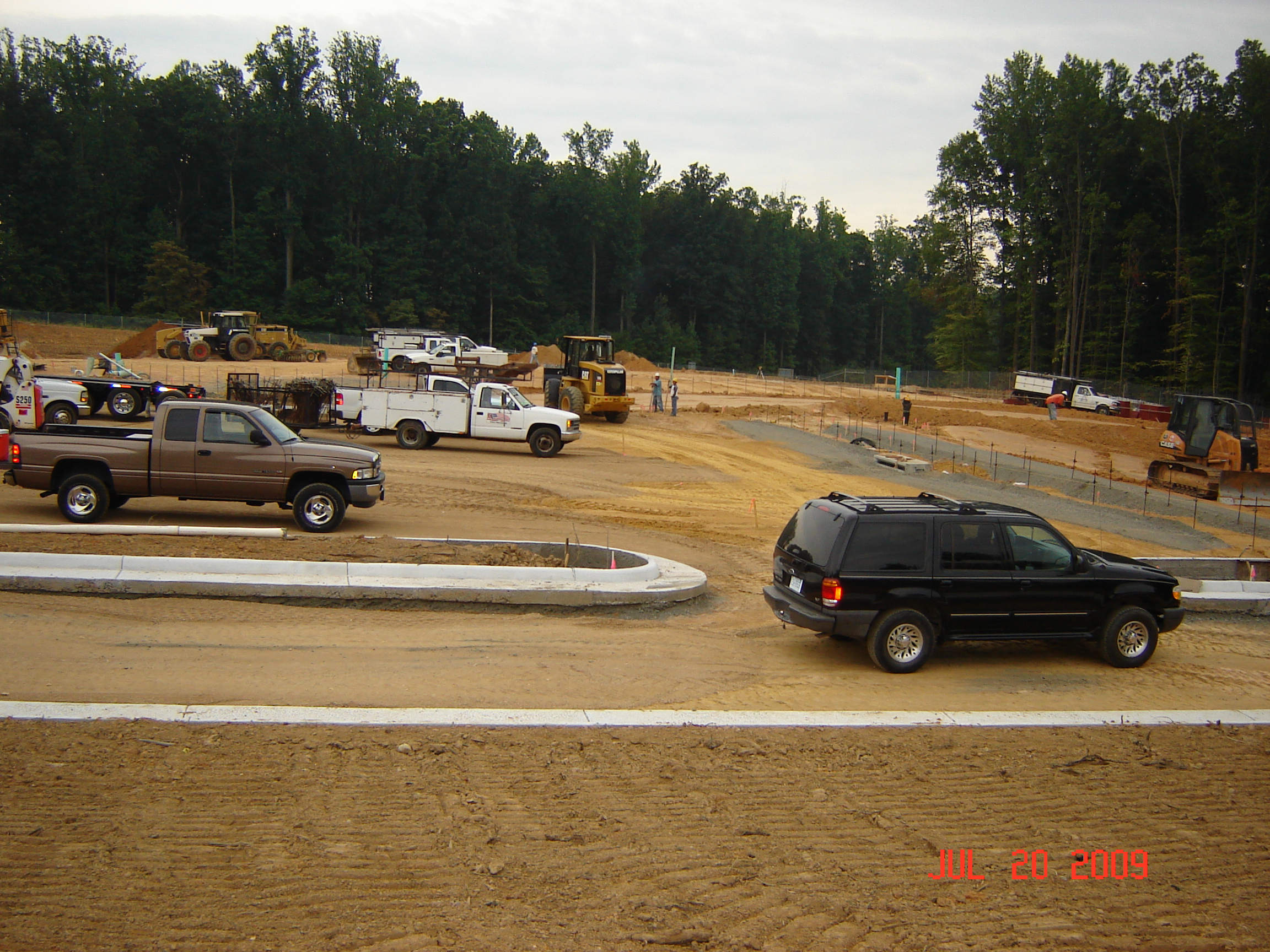
Lib front door view 7-20-09 001
Lib SE corner view 9-01-09 003
The Gauntlet, Fredericksburg, VA.: view backwards from #4 tees, towards the back side of the course
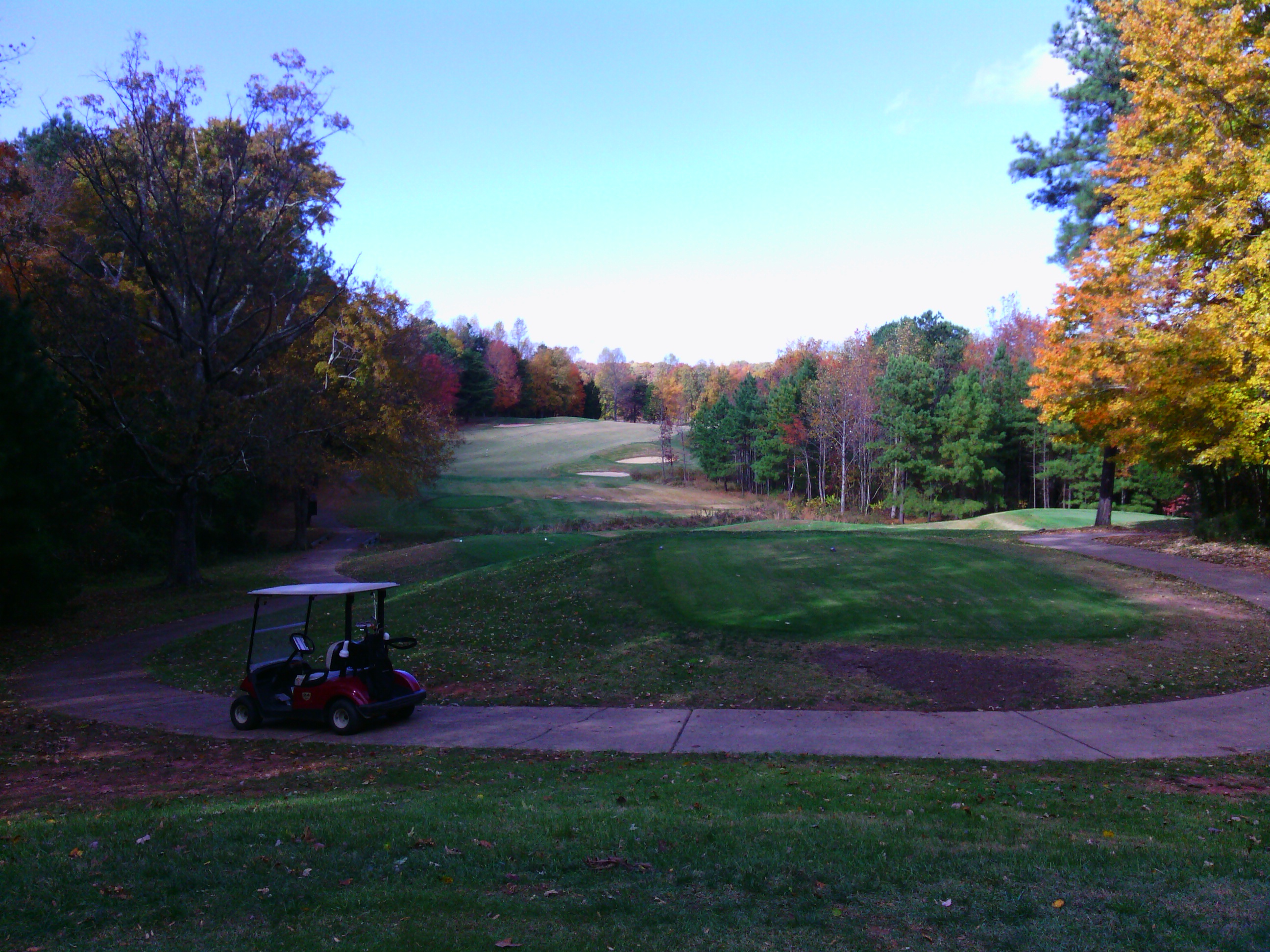
The Gauntlet, Fredericksburg, VA. view from #7 gold tees

The Toss

Our room at the Inn at Kelly's Ford
The Gauntlet, Fredericksburg, VA. view from #4 fairway
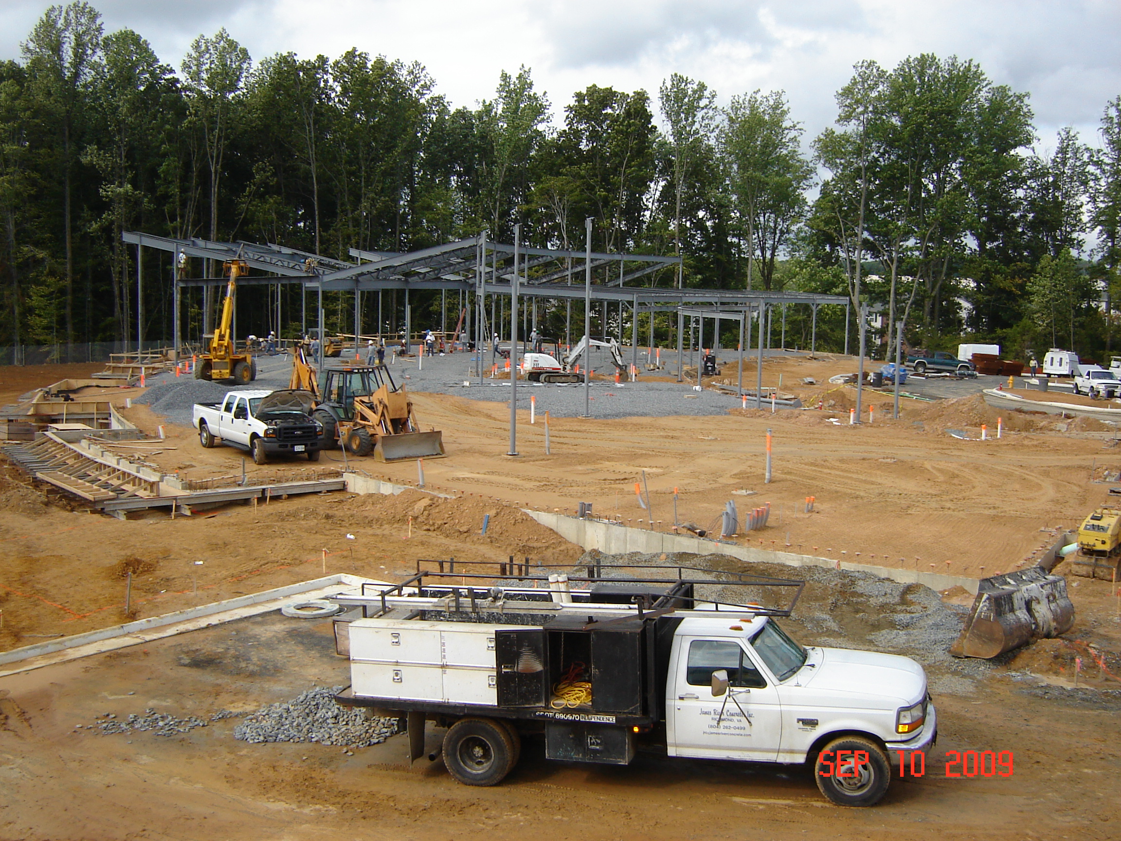
Lib job trailer view 9-10-09 001
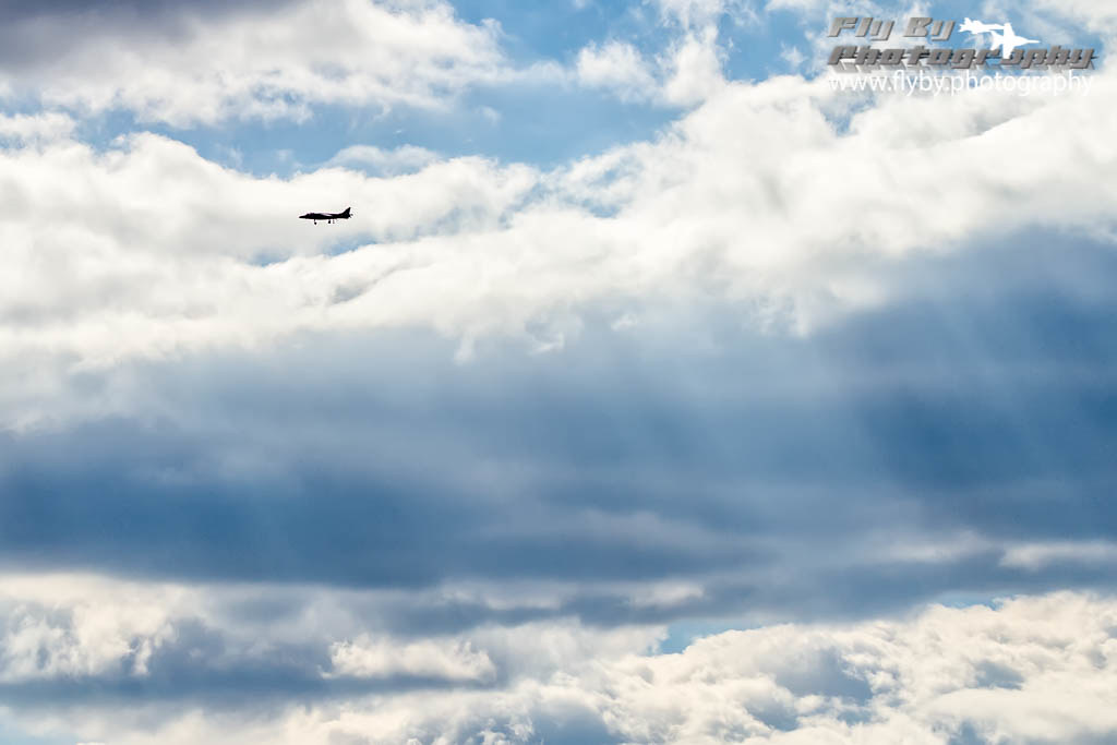
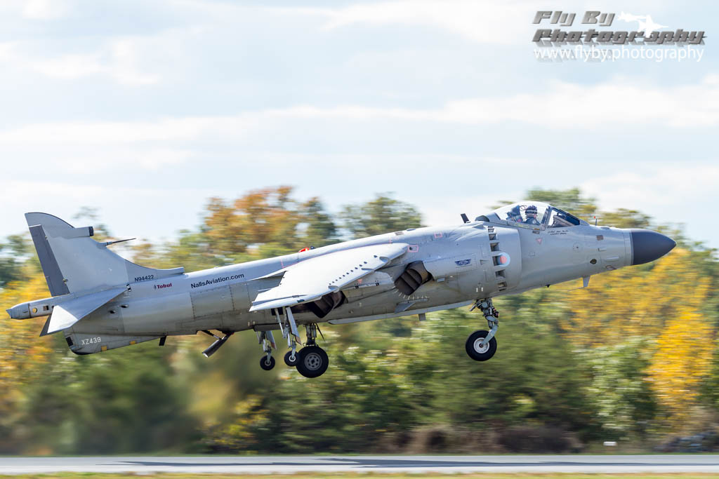
Harrier In the Heavens
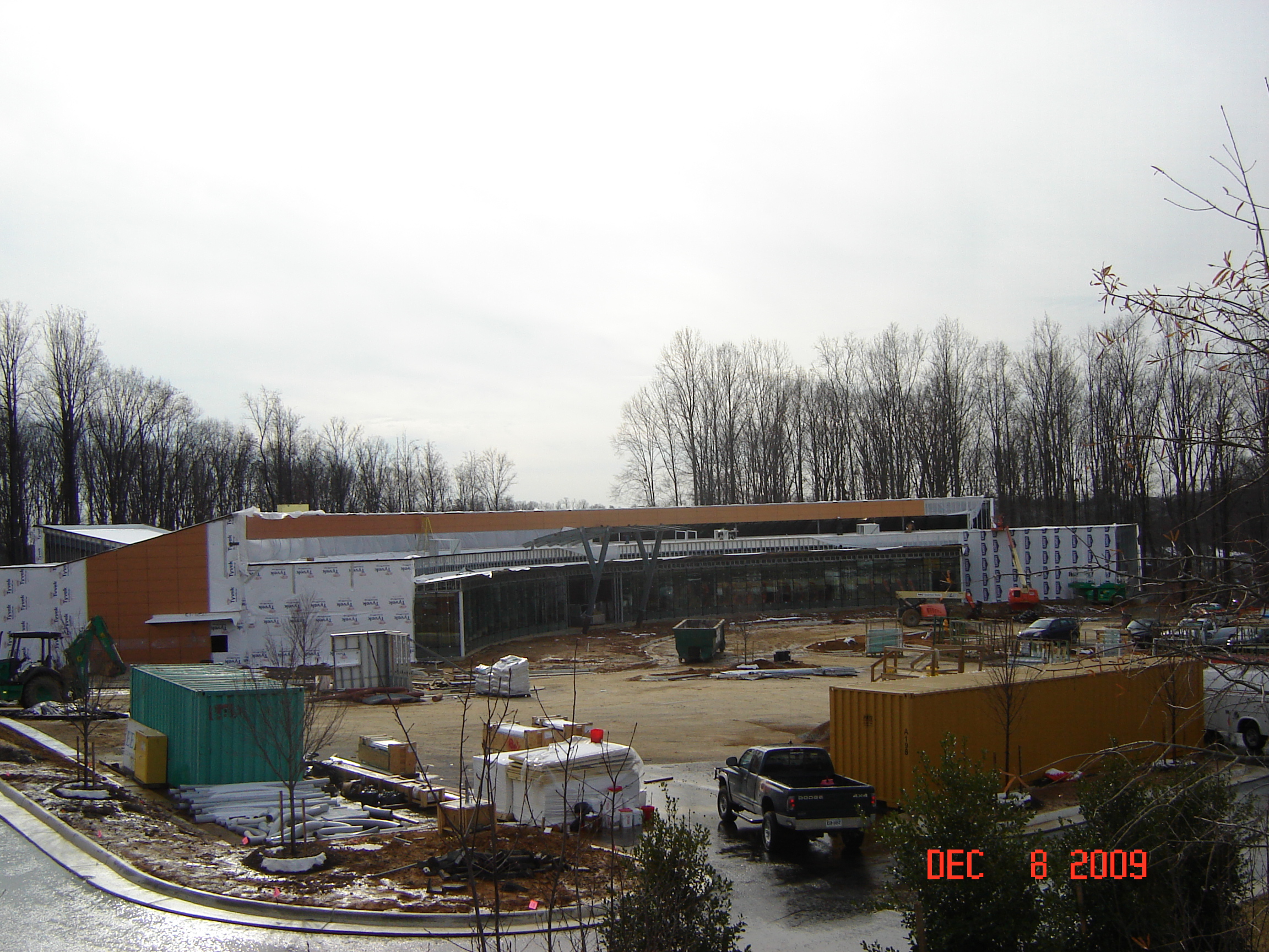
LIB view from Lyons Blvd. hill 12-08-09 023
The Gauntlet, Fredericksburg, VA. view from #4 gold tees

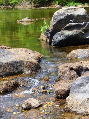
"skipping" rocks...(more like "plopping")

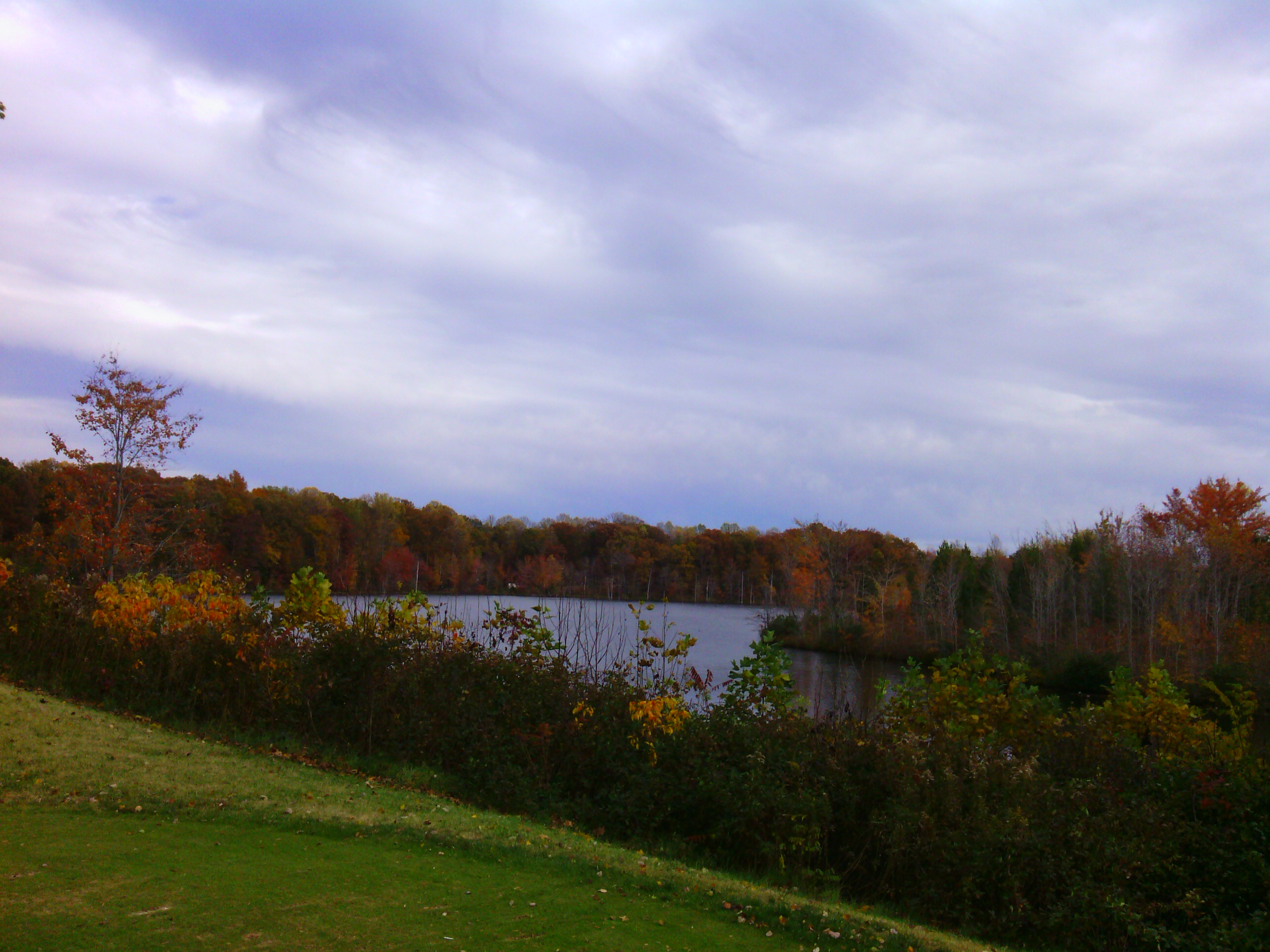
Virginian afternoon

Flowering field
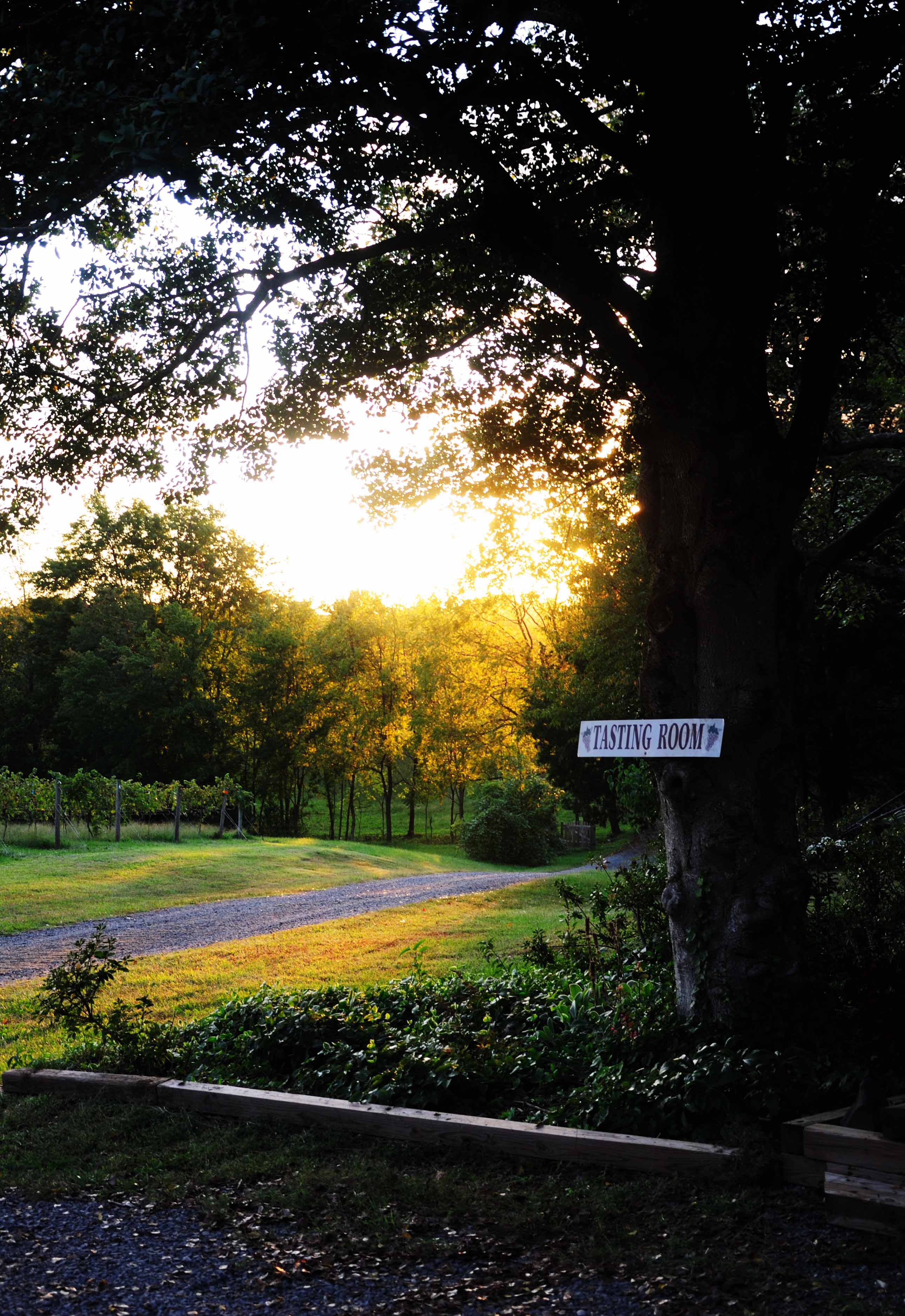
Tasting Room

Lightning-bug trails
Rappahanock River_Aug 2008
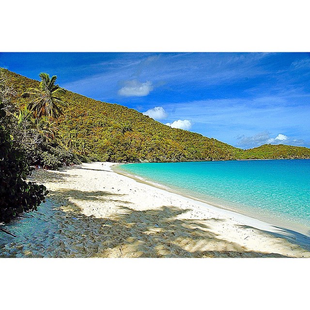
@fotor_apps #Fotor #fotorapp #USVI Trunk Bay #st john
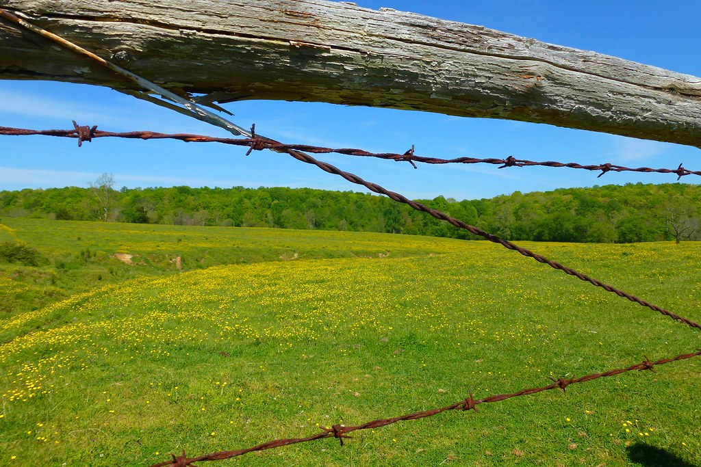
Barbed remarks
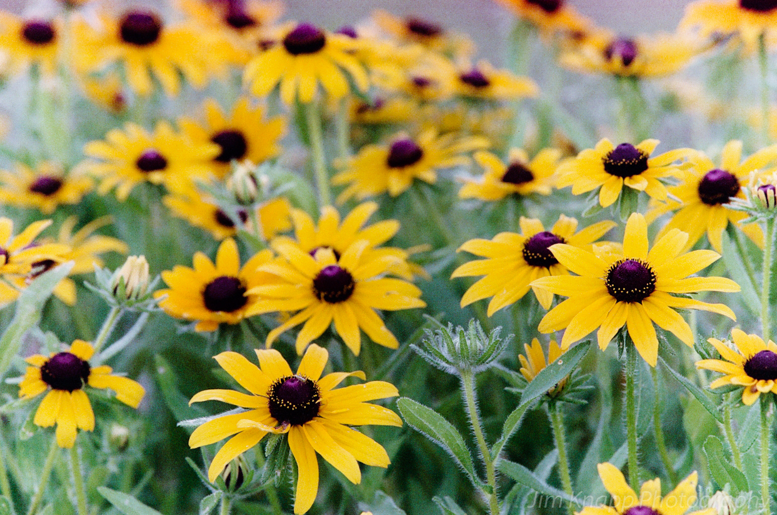
Black-Eyed Susans
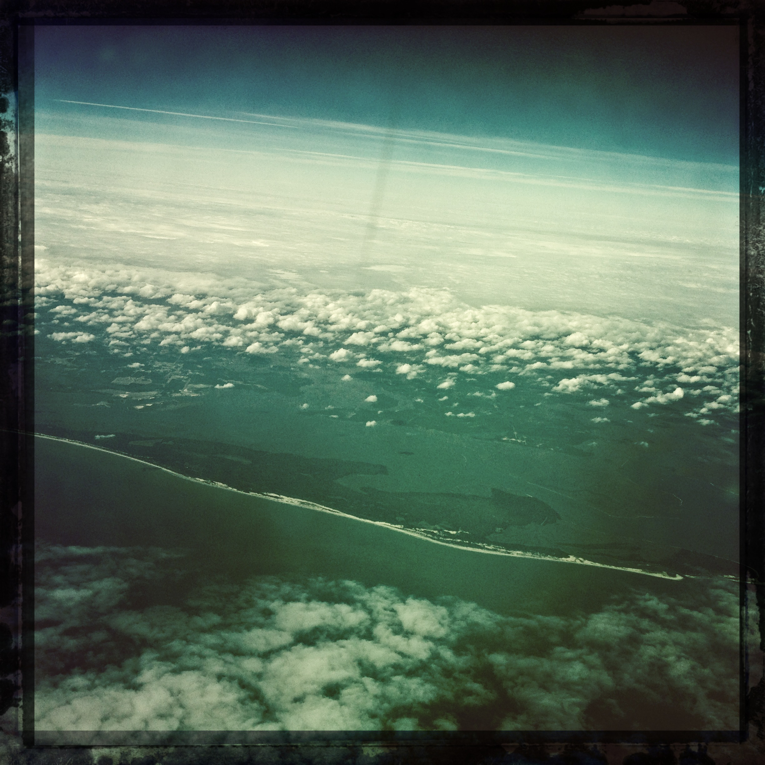
Hipstamatic Clouds 2 (1 of 1)

Sunset in Cedar Run, VA
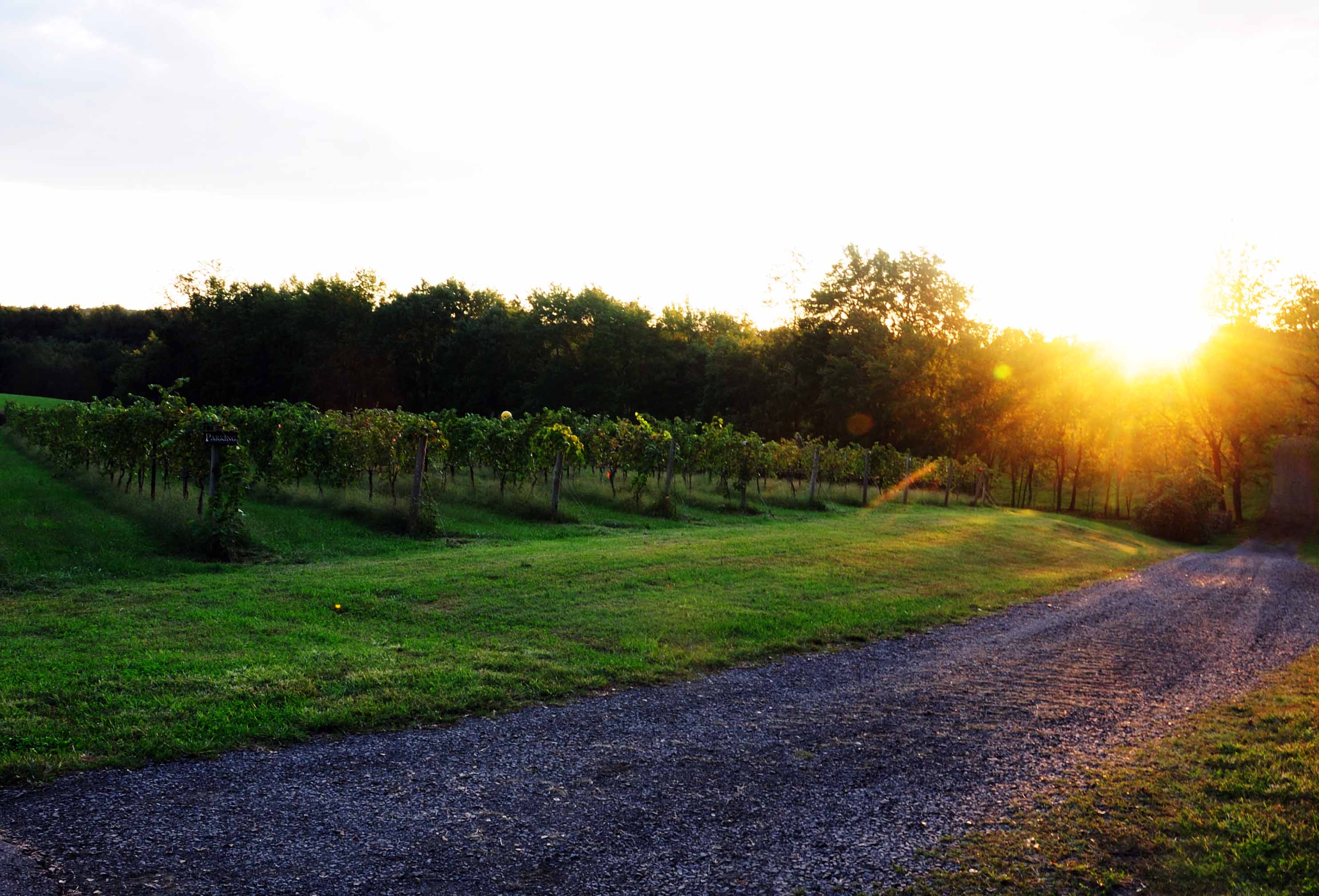
Roger's Ford Vinyard

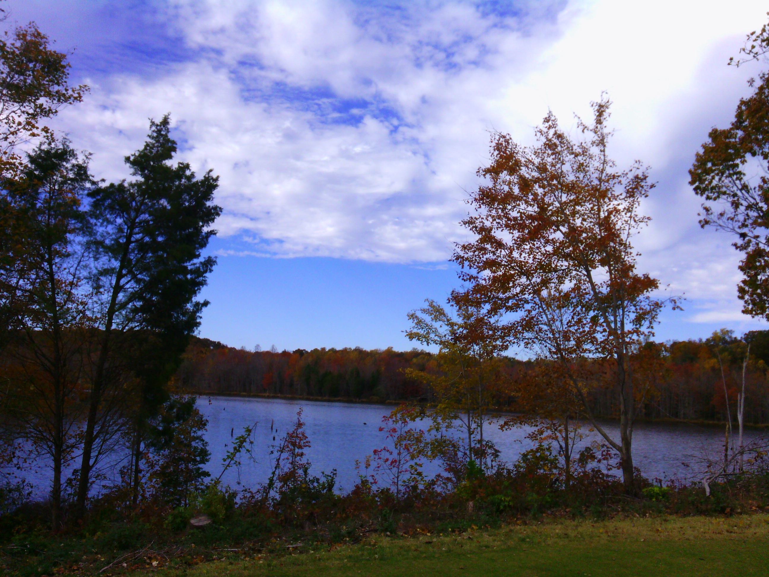
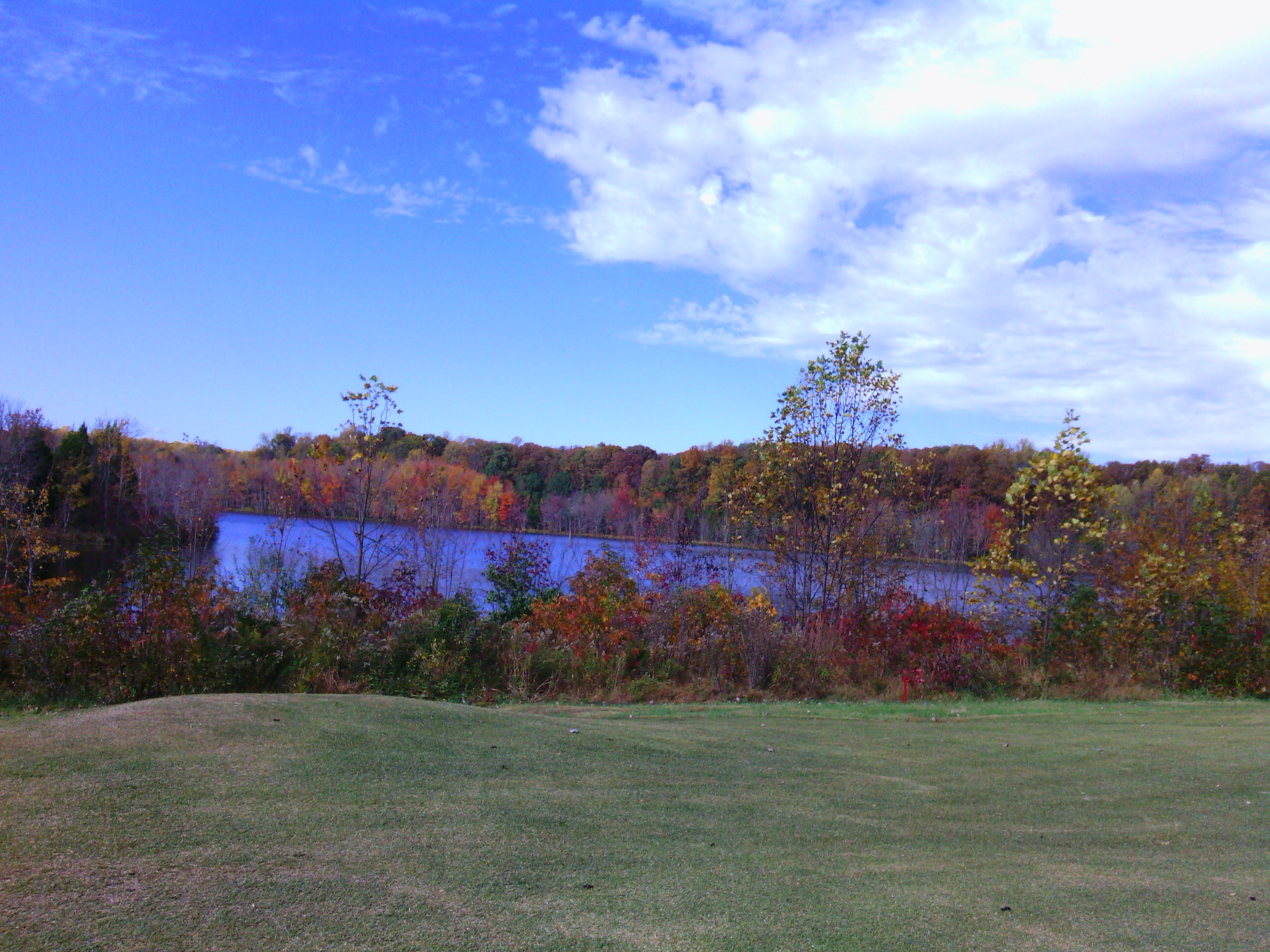
Rocky Pen Run Reservoir in Stafford County, Va.
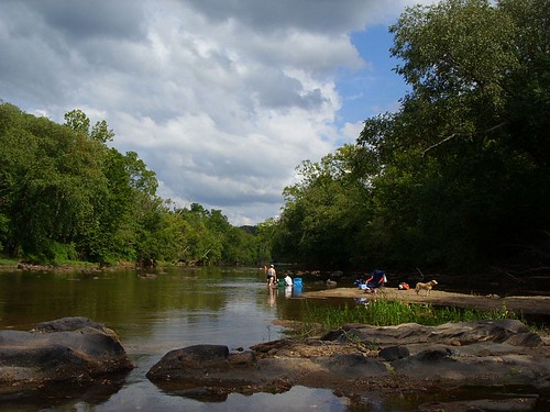
Rappahanock River 1

Fauquier County, Va.

Stafford County, Va.

Fauquier County, Va.

Fauquier County, Va.
Topographic Map of Spotted Tavern Rd, Fredericksburg, VA, USA
Find elevation by address:

Places near Spotted Tavern Rd, Fredericksburg, VA, USA:
428 Cropp Rd
20 Whitetail Way
20 Whitetail Way
1691 Hartwood Rd
339 Richland Rd
354 Hartwood Rd
Poplar Road
Stately Avenue
Stately Avenue
305 Renegade Dr
8 Campbell Ct
Hartwood
322 Rock Hill Church Rd
1010 Bailey Ct
Warrenton Rd, Fredericksburg, VA, USA
480 Holly Corner Rd
67 Cardinal Crest Drive
692 Stefaniga Rd
Rock Hill
Shelton Shop Rd, Stafford, VA, USA
Recent Searches:
- Elevation of Corso Fratelli Cairoli, 35, Macerata MC, Italy
- Elevation of Tallevast Rd, Sarasota, FL, USA
- Elevation of 4th St E, Sonoma, CA, USA
- Elevation of Black Hollow Rd, Pennsdale, PA, USA
- Elevation of Oakland Ave, Williamsport, PA, USA
- Elevation of Pedrógão Grande, Portugal
- Elevation of Klee Dr, Martinsburg, WV, USA
- Elevation of Via Roma, Pieranica CR, Italy
- Elevation of Tavkvetili Mountain, Georgia
- Elevation of Hartfords Bluff Cir, Mt Pleasant, SC, USA