Elevation of Renegade Dr, Fredericksburg, VA, USA

Location: United States > Virginia > Fredericksburg >

Longitude: -77.610494

Latitude: 38.3998721

Elevation: 82m / 269feet

Barometric Pressure: 100KPa

Elevation Map:

elevation map of Renegade Dr, Fredericksburg, VA, USA

Satellite Map:

Satellite map of Renegade Dr, Fredericksburg, VA, USA

Related Photos:

fredericksburg virginia unitedstates 1700s plantation
Fall Hill, circa 1790, Fredericksburg, VA
county storm june virginia ben web va thunderstorm lightning storms electrical thunder 2020 spotsylvania schumin schuminweb cloud weather wall clouds town center bolt electricity bolts towne summer sky shop retail mall shopping dark evening skies cloudy centre bad malls shops severe retailer storming centers retailers retailing centres spotsylvaniatownecentre spotsylvaniatownecenter store stores
Lightning storm over Fredericksburg [02]
travel fall rain river virginia rocks line va waterscape rappahannock skynoir bybilldickinsonskynoircom
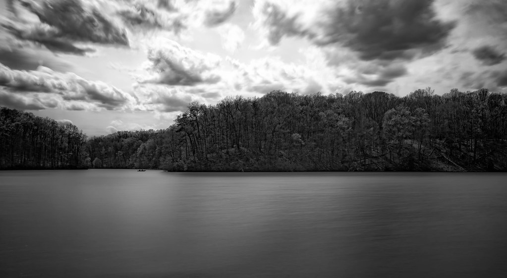
Rappahannock River Bank
sunset food signs color lights virginia icecream fredericksburg cones gluttony carls noms project365 3652011
Sundae Bloody Sundae (310/365)
schuminweb ben schumin web june 2020 spotsylvania county virginia va thunderstorm thunder lightning storm storms electrical weather wall cloud clouds towne town center bolt bolts electricity evening storming cloudy sky skies dark shopping mall malls centers centre centres spotsylvaniatownecenter summer bad severe retail retailers retailing retailer shop shops store stores
Lightning storm over Fredericksburg [01]
Genie S 85
plane virginia flying unitedstates transport planes airliner fredricksburg panamericanworldairways douglasdc3c clippertabithamay nc33611clippertabithamaycn19677 staffordregionalrmnkrmn staffordwingandwheels2014
Basking In the Morning Sun
virginia flying unitedstates planes biplane fredricksburg wacoymf5c bealtonflyingcircus johncorradi n333gdmisscasettecnf5c041 staffordregionalrmnkrmn staffordwingandwheels2014
Ascending WACO
virginia flying unitedstates planes fredricksburg goldenknightsparachuteteam usarmygoldenknights staffordregionalrmnkrmn staffordwingandwheels2014 1080263cn862 8wayfreefallformationteam dehavillandcanadauv18ctwinotterdhc6400
Black and Gold Twin Otter
Phelps WMA, Fauquier County Virginia, ruins at Phelps Pond
virginia flying unitedstates airshow planes fredricksburg royalnavy strikefighter britishaerospaceseaharrierfa2 ltcolartnalls staffordregionalrmnkrmn staffordwingandwheels2014 n94422xz439cn912002db2
Autumn Heat Wave
sevenlakes staffordcounty christyestates meridianlane singlefamilyhomessubdivision equinesubdivision horsefriendlysubdivision sevenlakesequestriancommunity sevenlakesestates ruffiandrive winningcolorsroad secretariatdrive
Seven Lakes of Stafford County
history church virginia salem battlefield 1863 chancellorsville cwpt
Salem Church
staffordcounty finchcourt estatehomes hunterspond partridgelane singlefamilyhomessubdivision windsongway dittmanway smallbearcourt
Hunter's Pond of Stafford County
garimelchers belmont falmouth virginia garden estate winter rappahannockriver
Belmont Pavilion
garimelchers belmont falmouth virginia garden estate winter rappahannockriver
View of the Rappahannock River
fredericksburg virginia unitedstates 1700s plantation gate
Fall Hill, circa 1790, Fredericksburg, VA
fredericksburg virginia unitedstates 1700s plantation
Fall Hill, circa 1790, Fredericksburg, VA
garimelchers belmont falmouth virginia garden estate winter rappahannockriver
View of the Rappahannock River
virginia rainbow lightning fredericksburg doublerainbow damncool potofgold flickrsbest “sky abigfave anawesomeshot aplusphoto skytheme flickraward diamondclassphotographer flickrdiamond theunforgettablepictures colourartaward perfectsunsetssunrisesandskys flickrestrellas qualitypixels skyascanvas damniwishidtakenthat llovemypics flickrlovers flickrcinated
Stormy Night 2
people geotagged virginia gun smoke civilwar artillery fredericksburg falmouth hdr reenactors csa vicenç confederates rappahannock photomatix abigfave nikond80 feliú diamondclassphotographer flickrdiamond theperfectphotographer tamron18270 sabreur76 vicençfeliú geo:lat=38320671 geo:lon=77468493
Boom! 50,000 Views - Thanks, all!!!
fall river virginia belmont va fredericksburg falltrees rappahannock fxbg rapphannockriver belmontrappahannockriverfall rappahannockriverfall
Rapphannock River Fredericksburg VA-(Explored)
chfstew virginia vafredericksburgcity nationalregisterofhistoricplaces nrhpsouth myfavorite
Carl's Frozen Custard, Fredericksburg, VA
house colour digital landscape virginia pentax historic preserved falmouth km pentaxdaf35561855mmallens sheltoncottage
Shelton Cottage
hdr fredericksburgva rappahannockriver
Early Morning on the Rappahannock River
fredericksburgva rappahannockriver
LK_20131125_0021-24-Edit-sm
usa water river virginia unitedstates cloudy fredericksburg canoneos60d efs18200mmf3556is rappenhannockriver
Rappenhannock River
nonprofits southwings transportation virginia aerial environment unitedstates camera:model=canoneos5dmarkiv exif:lens=ef70200mmf28lusm camera:make=canon geocity exif:aperture=ƒ45 exif:focallength=70mm geo:country=unitedstates geostate exif:isospeed=1600 exif:model=canoneos5dmarkiv exif:make=canon
Stafford County, Va.
chfstew virginia vafredericksburgcity nationalregisterofhistoricplaces nrhpsouth
Carl's Frozen Custard, Fredericksburg, VA
nonprofits southwings transportation virginia aerial environment unitedstates camera:model=canoneos5dmarkiv exif:model=canoneos5dmarkiv camera:make=canon exif:aperture=ƒ40 geostate exif:focallength=70mm exif:lens=ef2470mmf28lusm exif:isospeed=800 geo:country=unitedstates geocity exif:make=canon
Spotsylvania County, Va.
blue sky clouds landscape virginia day cloudy farm civilwar battlefield 1863 chancellorsville
Virginia Splendor
hdr fredericksburgva rappahannockriver
Rappahannock River
nonprofits southwings transportation virginia aerial environment unitedstates camera:model=canoneos5dmarkiv exif:model=canoneos5dmarkiv camera:make=canon exif:focallength=42mm geostate exif:aperture=ƒ63 exif:lens=ef2470mmf28lusm exif:isospeed=800 geo:country=unitedstates geocity exif:make=canon
Stafford County, Va.
nonprofits southwings transportation virginia aerial environment unitedstates camera:model=canoneos5dmarkiv exif:model=canoneos5dmarkiv camera:make=canon exif:aperture=ƒ40 geostate exif:isospeed=800 geo:country=unitedstates geocity exif:lens=ef70200mmf28lusm exif:focallength=200mm exif:make=canon
Stafford County, Va.
nonprofits southwings transportation virginia aerial environment unitedstates camera:model=canoneos5dmarkiv exif:model=canoneos5dmarkiv camera:make=canon exif:aperture=ƒ40 geostate exif:focallength=70mm exif:isospeed=800 geo:country=unitedstates geocity exif:lens=ef70200mmf28lusm exif:make=canon
Fauquier County, Va.
virginia civilwar wilderness spotsylvania battleofthewilderness
One of the Most Horrific Spots of the Civil War, Battle of the Wilderness, Fredericksburg and Spotsylvania National Military Park, Virginia
Motts Run Reservior
fishing flyfishing rappahannockriver
fishing the Rappahannock River
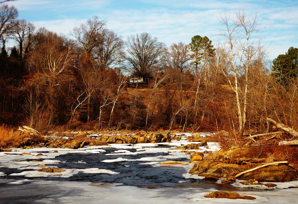
Icy River
Rappahannock Sunset
winter ice coldriver falls rappahannockriver fallline fredericksburg virginia landscape colour digital pentax k3 pentaxdaf35561855mmallens
Above it All