Elevation of State St, Kirkman, IA, USA
Location: United States > Iowa > Shelby County > Douglas > Kirkman >
Longitude: -95.264658
Latitude: 41.728872
Elevation: 380m / 1247feet
Barometric Pressure: 0KPa
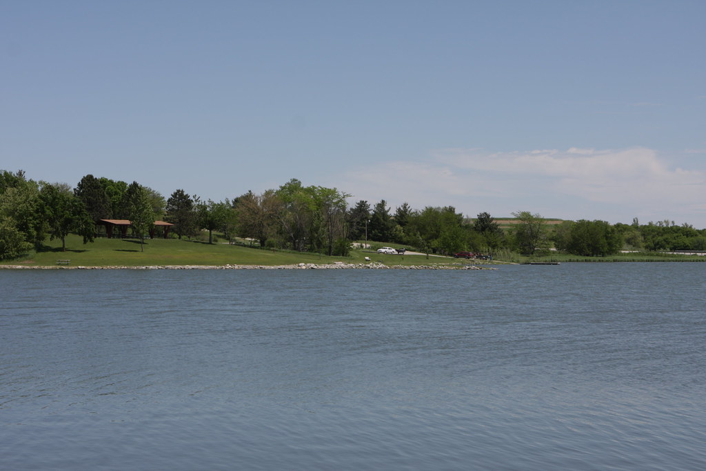
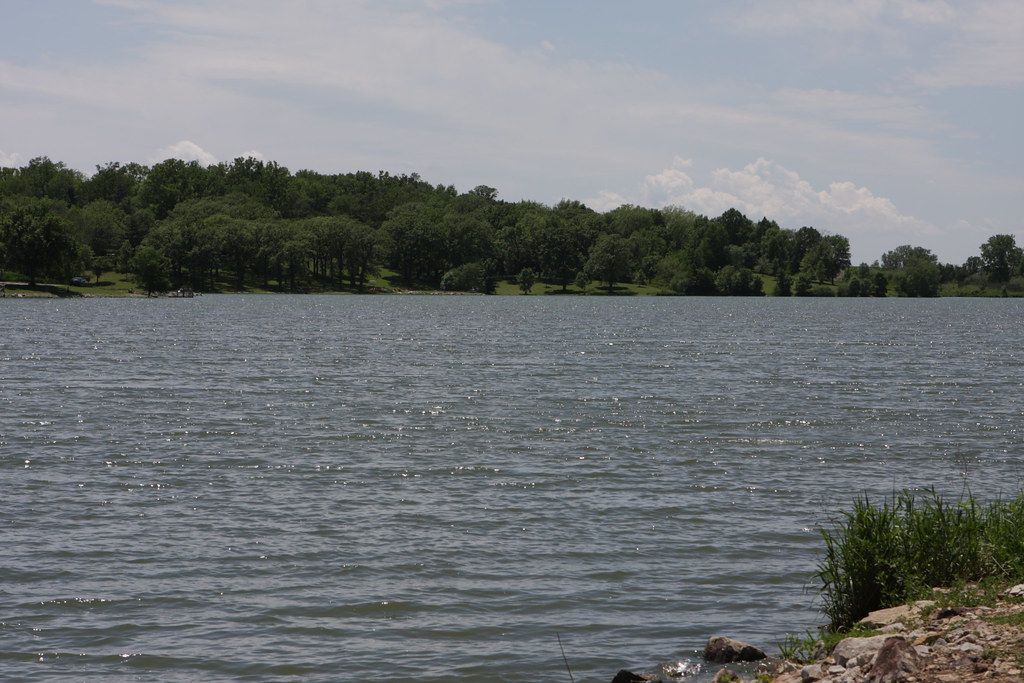
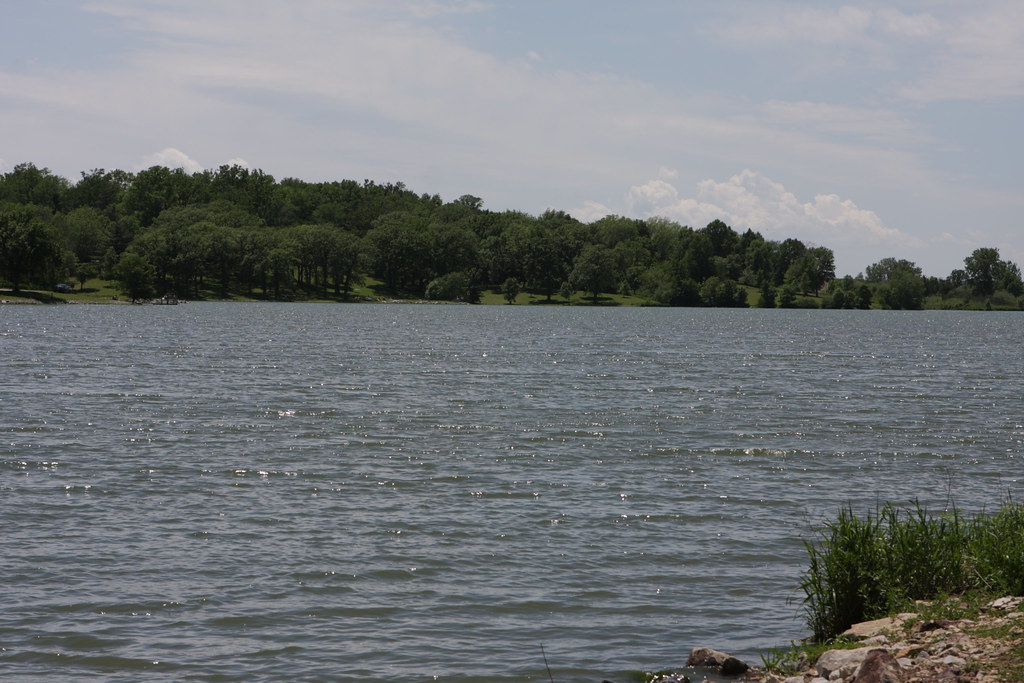
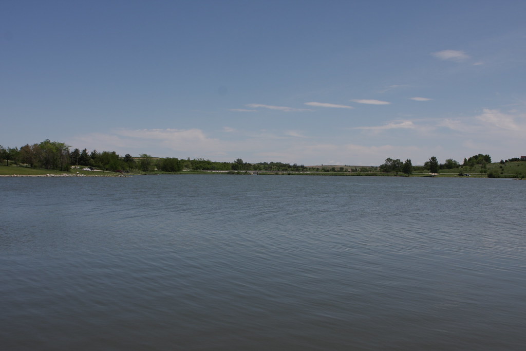
Related Photos:

View of the Square from the Pizza Ranch. Harlan, Iowa.
IMG_03932.JPG
IMG_03931.JPG
IMG_03923.JPG
IMG_03948.JPG
IMG_03937.JPG
IMG_03936.JPG
IMG_03939.JPG
IMG_03938.JPG
IMG_03935.JPG
IMG_03934.JPG
IMG_03933.JPG
IMG_03930.JPG
Topographic Map of State St, Kirkman, IA, USA
Find elevation by address:

Places near State St, Kirkman, IA, USA:
Kirkman
Douglas
Shelby County
Shelby County
Shelby County
Shelby County
Shelby County
Shelby County
Shelby County
Dye St, Harlan, IA, USA
Harlan
Polk
1317 Chatburn Ave
12th St, Harlan, IA, USA
th St, Kirkman, IA, USA
Westphalia
Jackson
Defiance
Main St, Earling, IA, USA
Colony St, Westphalia, IA, USA
Recent Searches:
- Elevation map of Greenland, Greenland
- Elevation of Sullivan Hill, New York, New York, 10002, USA
- Elevation of Morehead Road, Withrow Downs, Charlotte, Mecklenburg County, North Carolina, 28262, USA
- Elevation of 2800, Morehead Road, Withrow Downs, Charlotte, Mecklenburg County, North Carolina, 28262, USA
- Elevation of Yangbi Yi Autonomous County, Yunnan, China
- Elevation of Pingpo, Yangbi Yi Autonomous County, Yunnan, China
- Elevation of Mount Malong, Pingpo, Yangbi Yi Autonomous County, Yunnan, China
- Elevation map of Yongping County, Yunnan, China
- Elevation of North 8th Street, Palatka, Putnam County, Florida, 32177, USA
- Elevation of 107, Big Apple Road, East Palatka, Putnam County, Florida, 32131, USA
- Elevation of Jiezi, Chongzhou City, Sichuan, China
- Elevation of Chongzhou City, Sichuan, China
- Elevation of Huaiyuan, Chongzhou City, Sichuan, China
- Elevation of Qingxia, Chengdu, Sichuan, China
- Elevation of Corso Fratelli Cairoli, 35, Macerata MC, Italy
- Elevation of Tallevast Rd, Sarasota, FL, USA
- Elevation of 4th St E, Sonoma, CA, USA
- Elevation of Black Hollow Rd, Pennsdale, PA, USA
- Elevation of Oakland Ave, Williamsport, PA, USA
- Elevation of Pedrógão Grande, Portugal