Elevation of Dye St, Harlan, IA, USA
Location: United States > Iowa > Shelby County > Harlan >
Longitude: -95.320002
Latitude: 41.665543
Elevation: 370m / 1214feet
Barometric Pressure: 0KPa
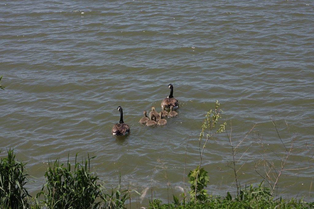
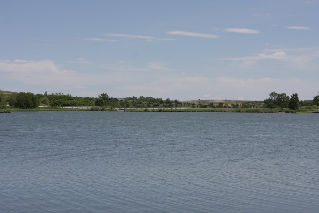
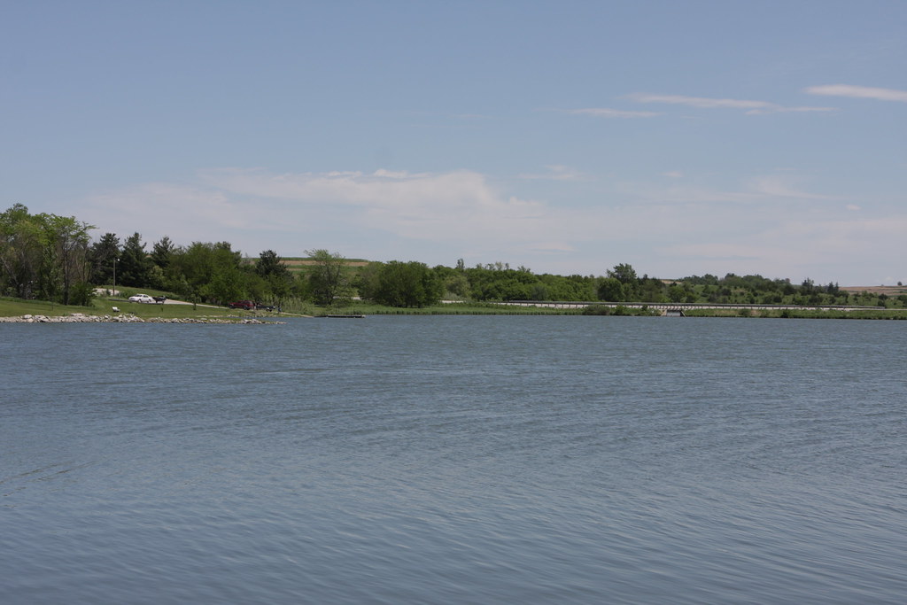
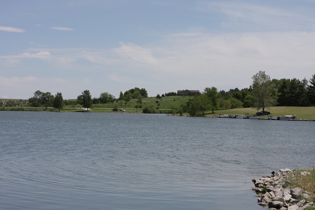
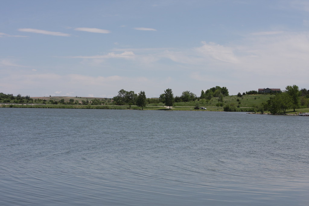
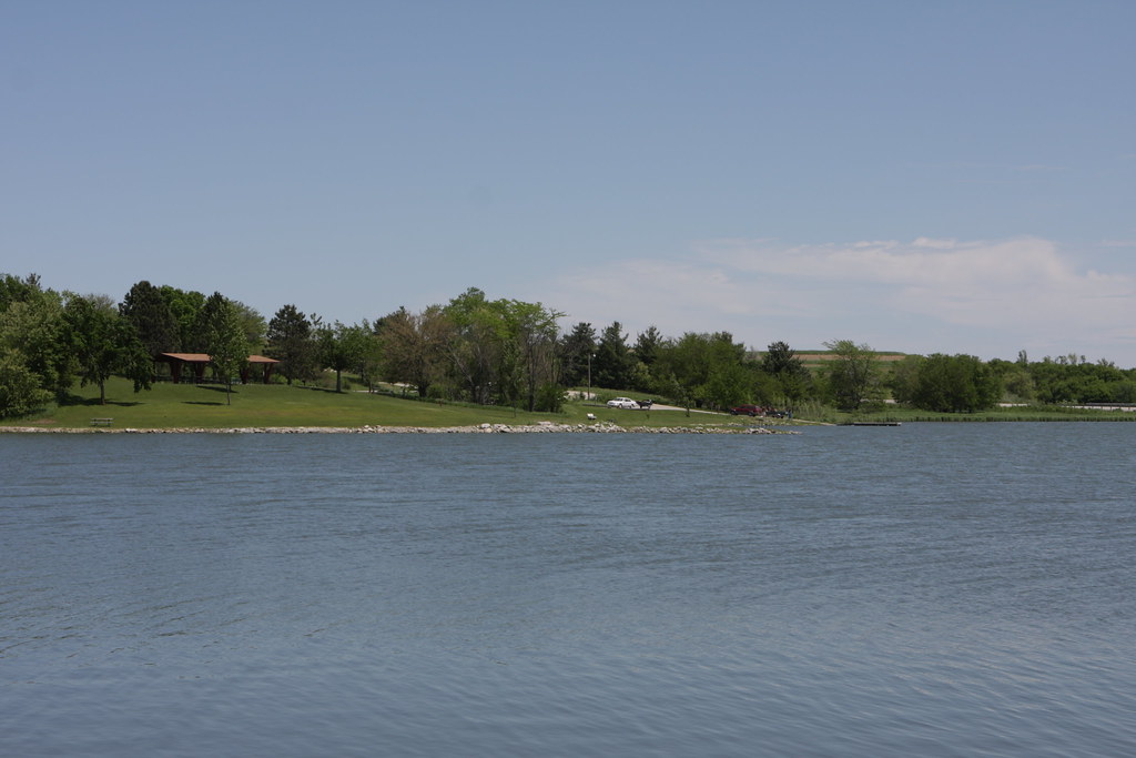
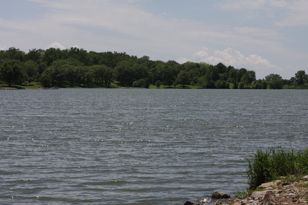
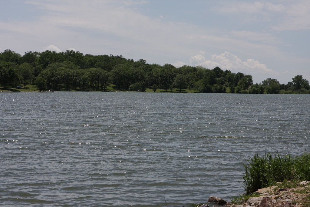
Related Photos:
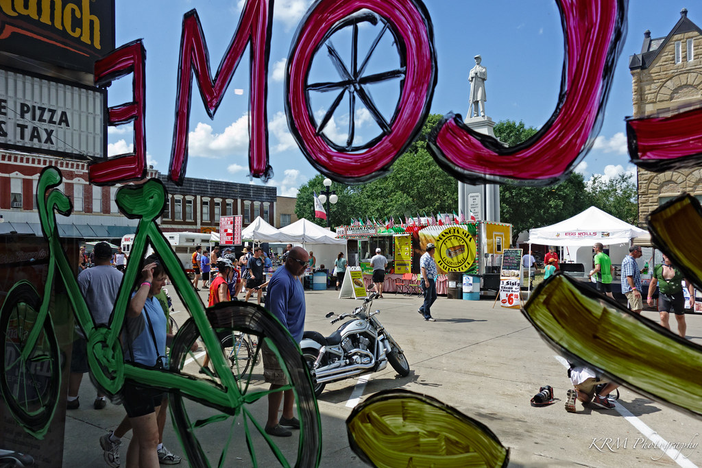
View of the Square from the Pizza Ranch. Harlan, Iowa.
IMG_03932.JPG
IMG_03931.JPG
IMG_03923.JPG
IMG_03948.JPG
IMG_03937.JPG
IMG_03936.JPG
IMG_03939.JPG
IMG_03938.JPG
IMG_03935.JPG
IMG_03934.JPG
IMG_03933.JPG
IMG_03930.JPG

Chaser Convergence
Topographic Map of Dye St, Harlan, IA, USA
Find elevation by address:

Places near Dye St, Harlan, IA, USA:
Harlan
1317 Chatburn Ave
12th St, Harlan, IA, USA
Shelby County
Shelby County
Shelby County
Shelby County
Shelby County
Shelby County
Shelby County
Kirkman
State St, Kirkman, IA, USA
Westphalia
1St St E, Harlan, IA, USA
Colony St, Westphalia, IA, USA
Westphalia
Douglas
Fairview
Fairview
Fairview
Recent Searches:
- Elevation map of Litang County, Sichuan, China
- Elevation map of Madoi County, Qinghai, China
- Elevation of 3314, Ohio State Route 114, Payne, Paulding County, Ohio, 45880, USA
- Elevation of Sarahills Drive, Saratoga, Santa Clara County, California, 95070, USA
- Elevation of Town of Bombay, Franklin County, New York, USA
- Elevation of 9, Convent Lane, Center Moriches, Suffolk County, New York, 11934, USA
- Elevation of Saint Angelas Convent, 9, Convent Lane, Center Moriches, Suffolk County, New York, 11934, USA
- Elevation of 131st Street Southwest, Mukilteo, Snohomish County, Washington, 98275, USA
- Elevation of 304, Harrison Road, Naples, Cumberland County, Maine, 04055, USA
- Elevation of 2362, Timber Ridge Road, Harrisburg, Cabarrus County, North Carolina, 28075, USA
- Elevation of Ridge Road, Marshalltown, Marshall County, Iowa, 50158, USA
- Elevation of 2459, Misty Shadows Drive, Pigeon Forge, Sevier County, Tennessee, 37862, USA
- Elevation of 8043, Brightwater Way, Spring Hill, Williamson County, Tennessee, 37179, USA
- Elevation of Starkweather Road, San Luis, Costilla County, Colorado, 81152, USA
- Elevation of 5277, Woodside Drive, Baton Rouge, East Baton Rouge Parish, Louisiana, 70808, USA
- Elevation of 1139, Curtin Street, Shepherd Park Plaza, Houston, Harris County, Texas, 77018, USA
- Elevation of 136, Sellers Lane, Repton, Monroe County, Alabama, 36475, USA
- Elevation of 12914, Elmington Drive, Lakewood Forest, Houston, Harris County, Texas, 77429, USA
- Elevation of 417, Camelot Drive, Statesville, Iredell County, North Carolina, 28625, USA
- Elevation of 5792, Wildridge Road, Avon, Eagle County, Colorado, 81620, USA