Elevation of State Route, State Rte, Rociada, NM, USA
Location: United States > New Mexico > Rociada >
Longitude: -105.42564
Latitude: 35.8586961
Elevation: 2337m / 7667feet
Barometric Pressure: 76KPa
Elevation Map:
Satellite Map:
Related Photos:
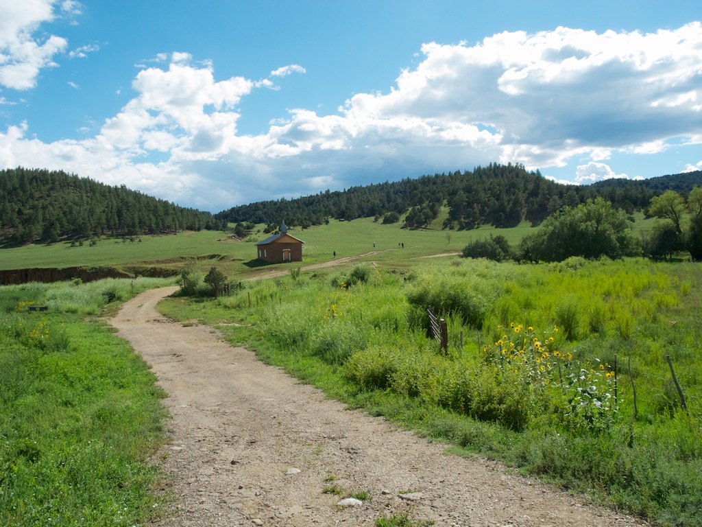
Church in the meadow
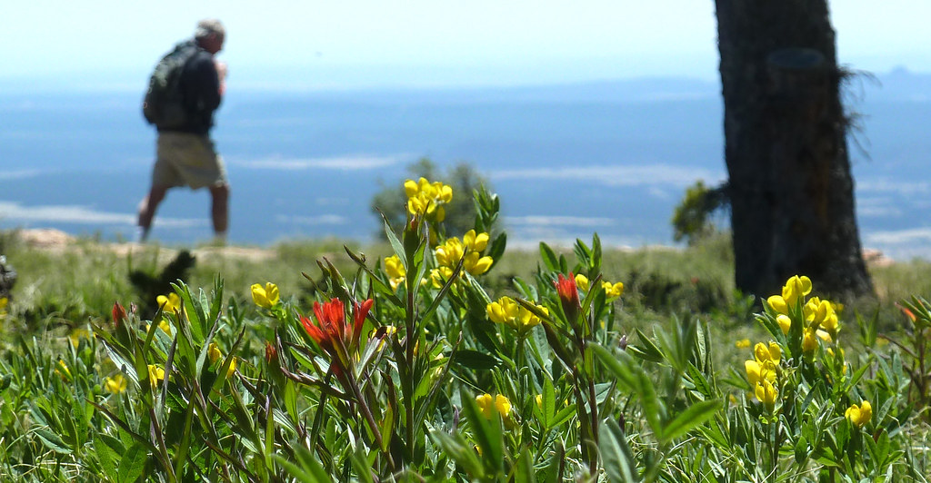
i walk among them
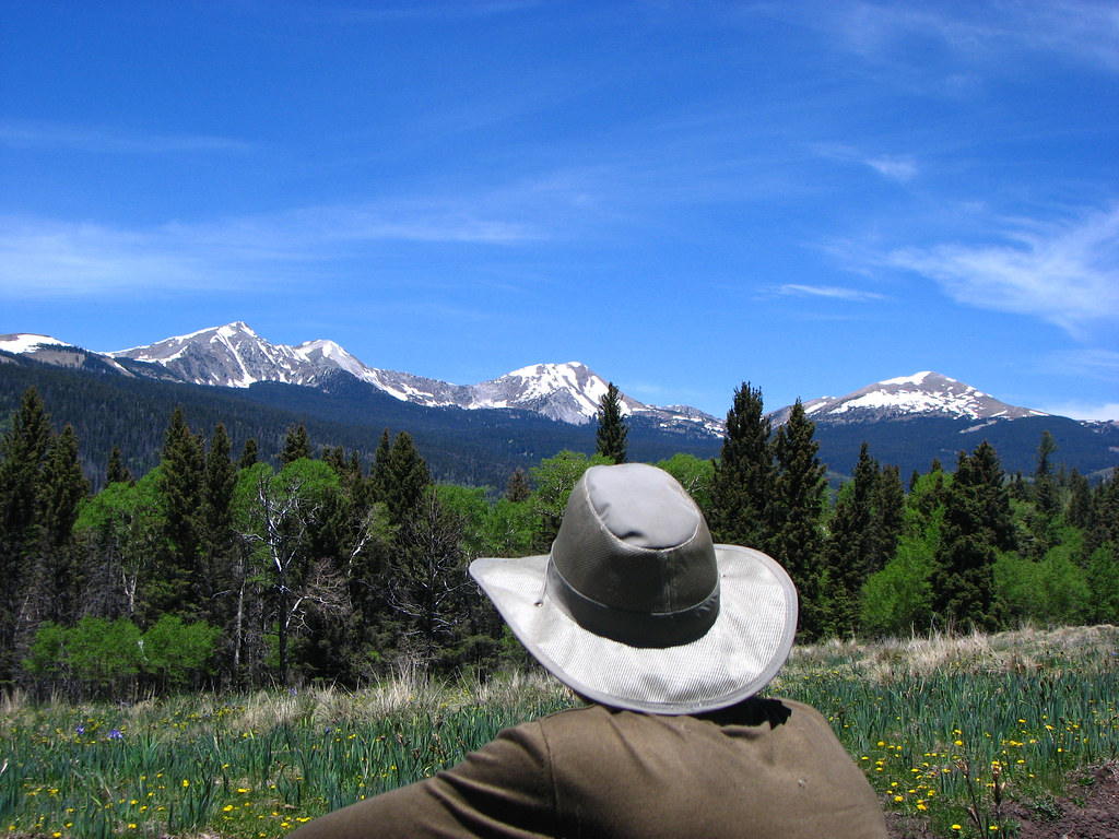
Cowboy in front of Truchas Peaks
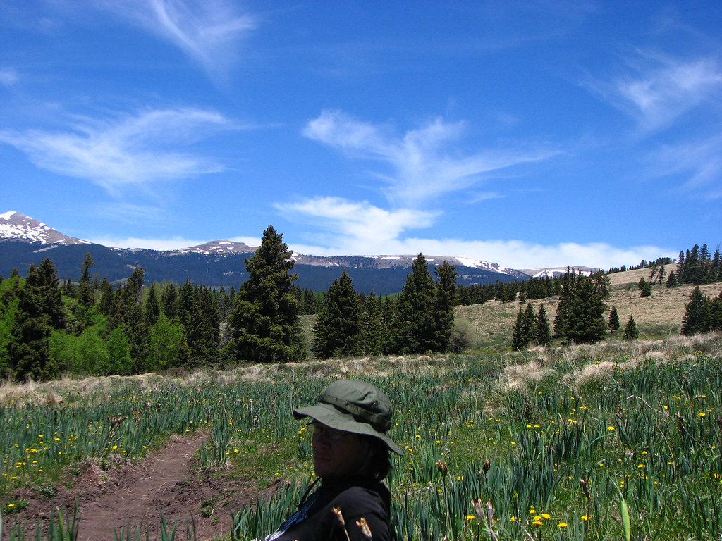
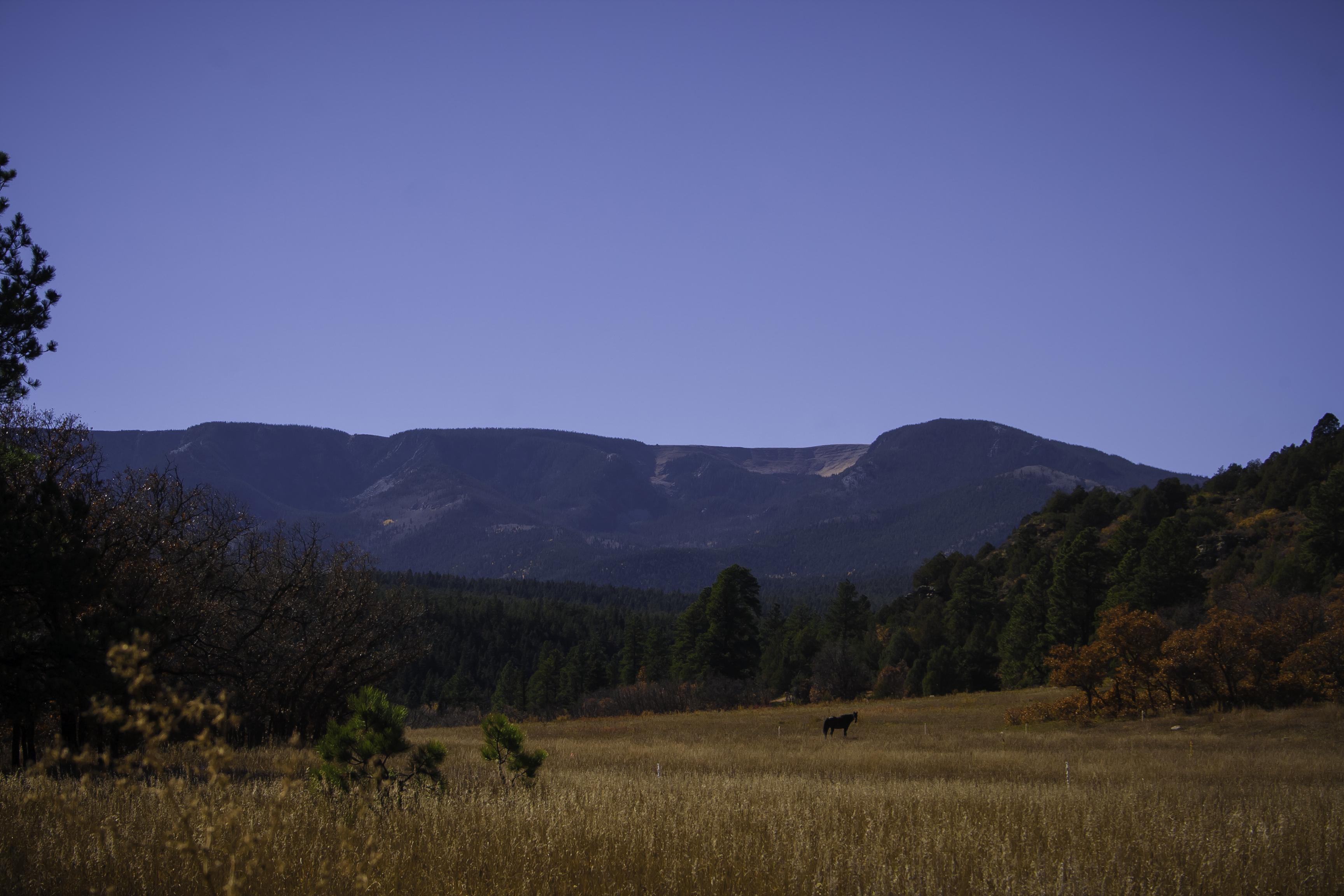
Lone Pine Meadow view from the north
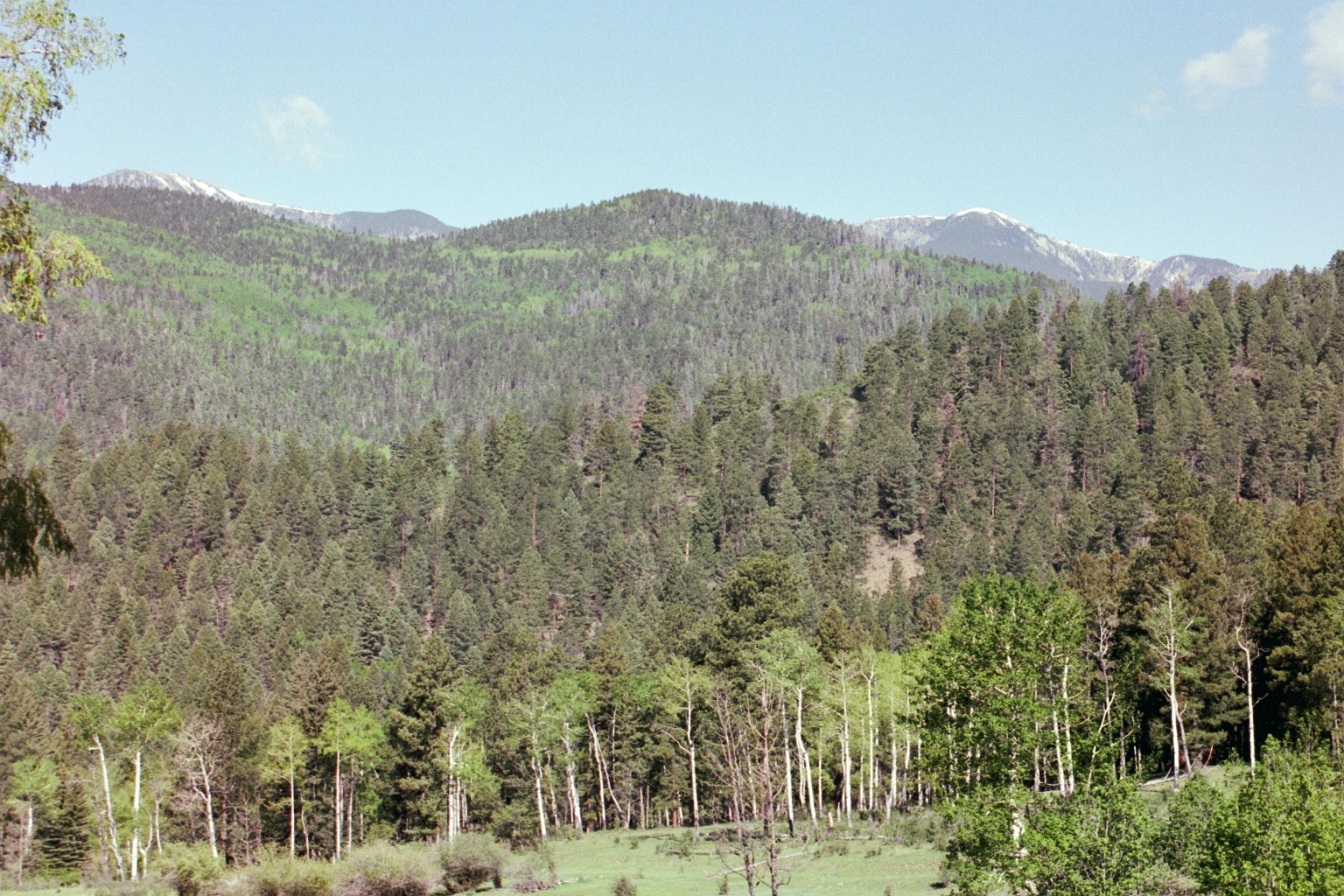
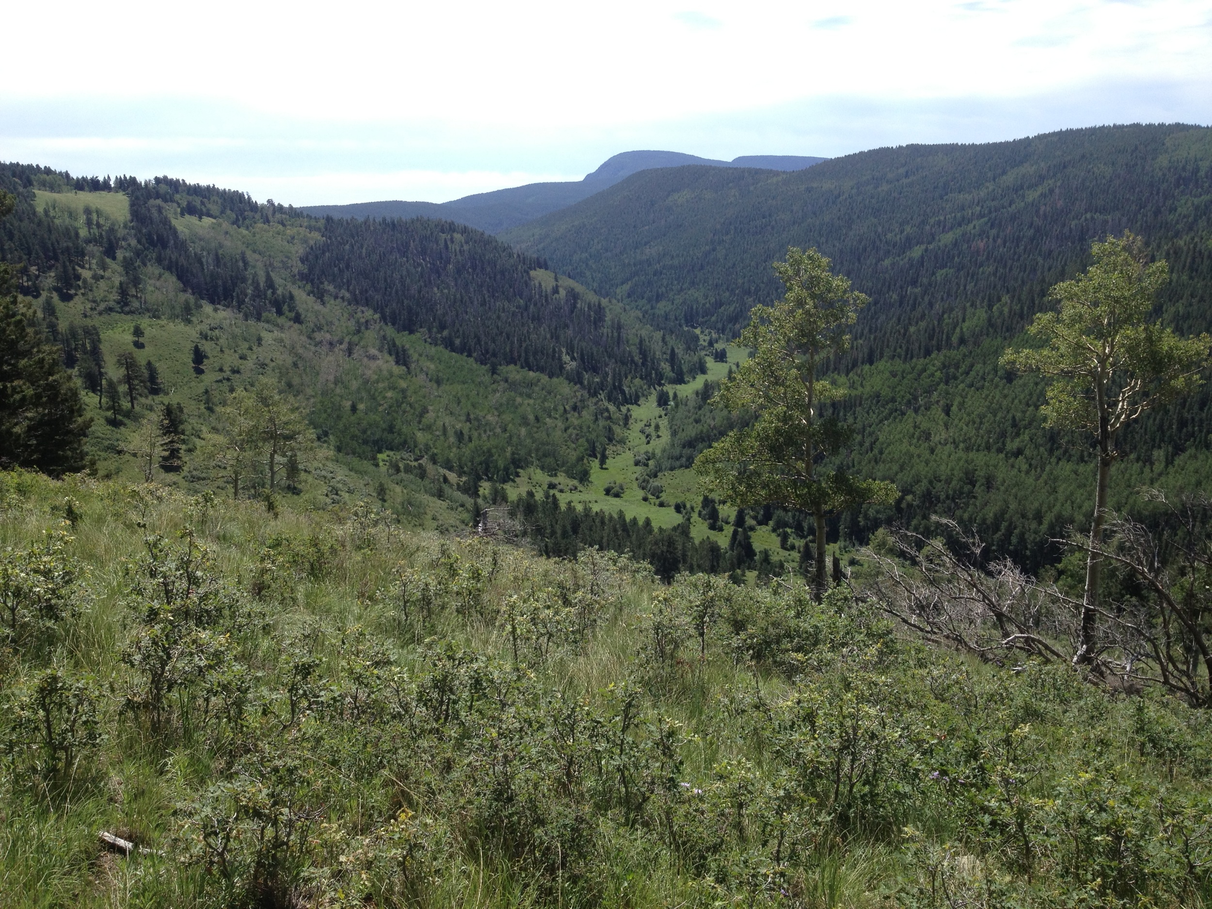
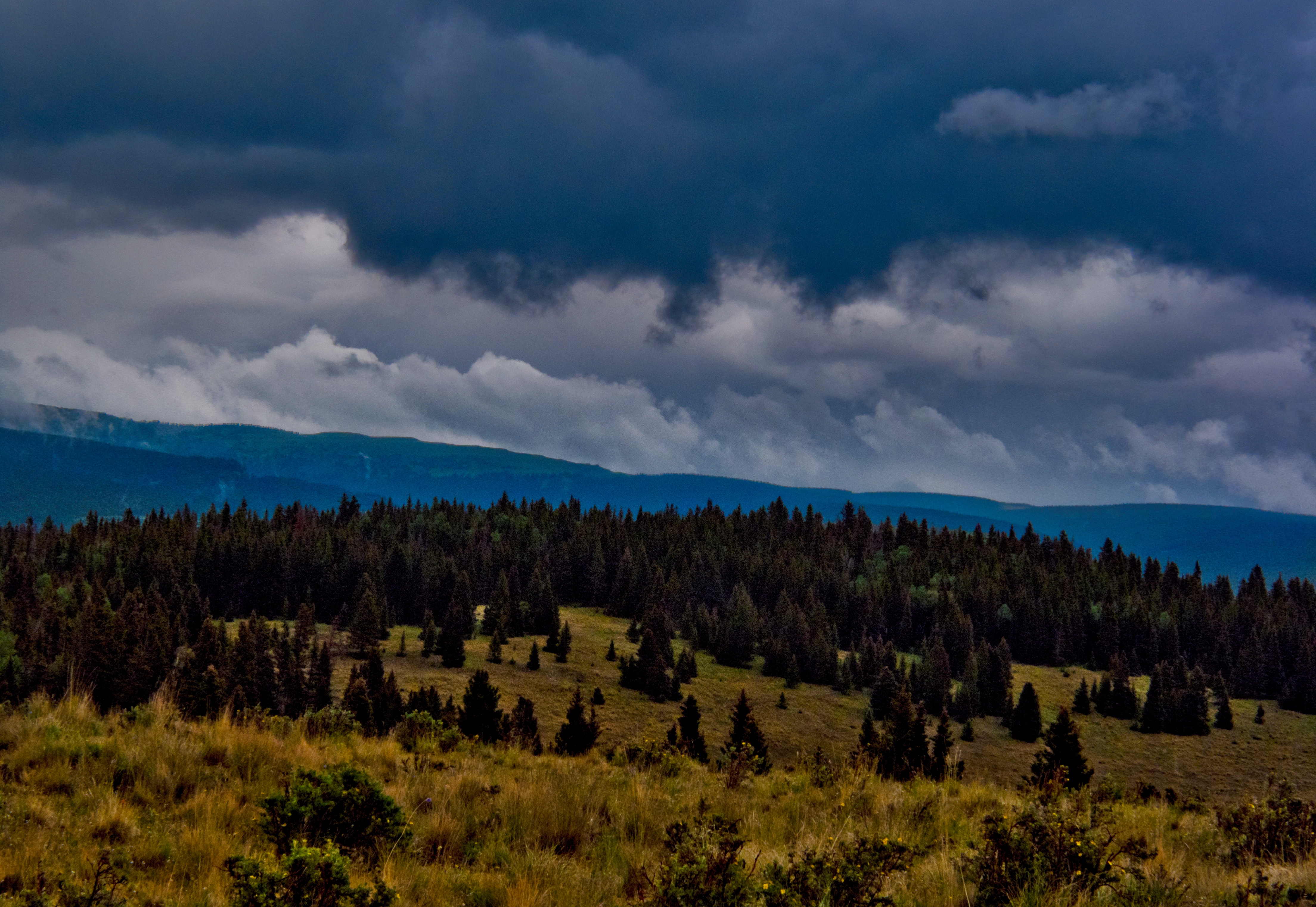
Santa Fe National Forest, New Mexico
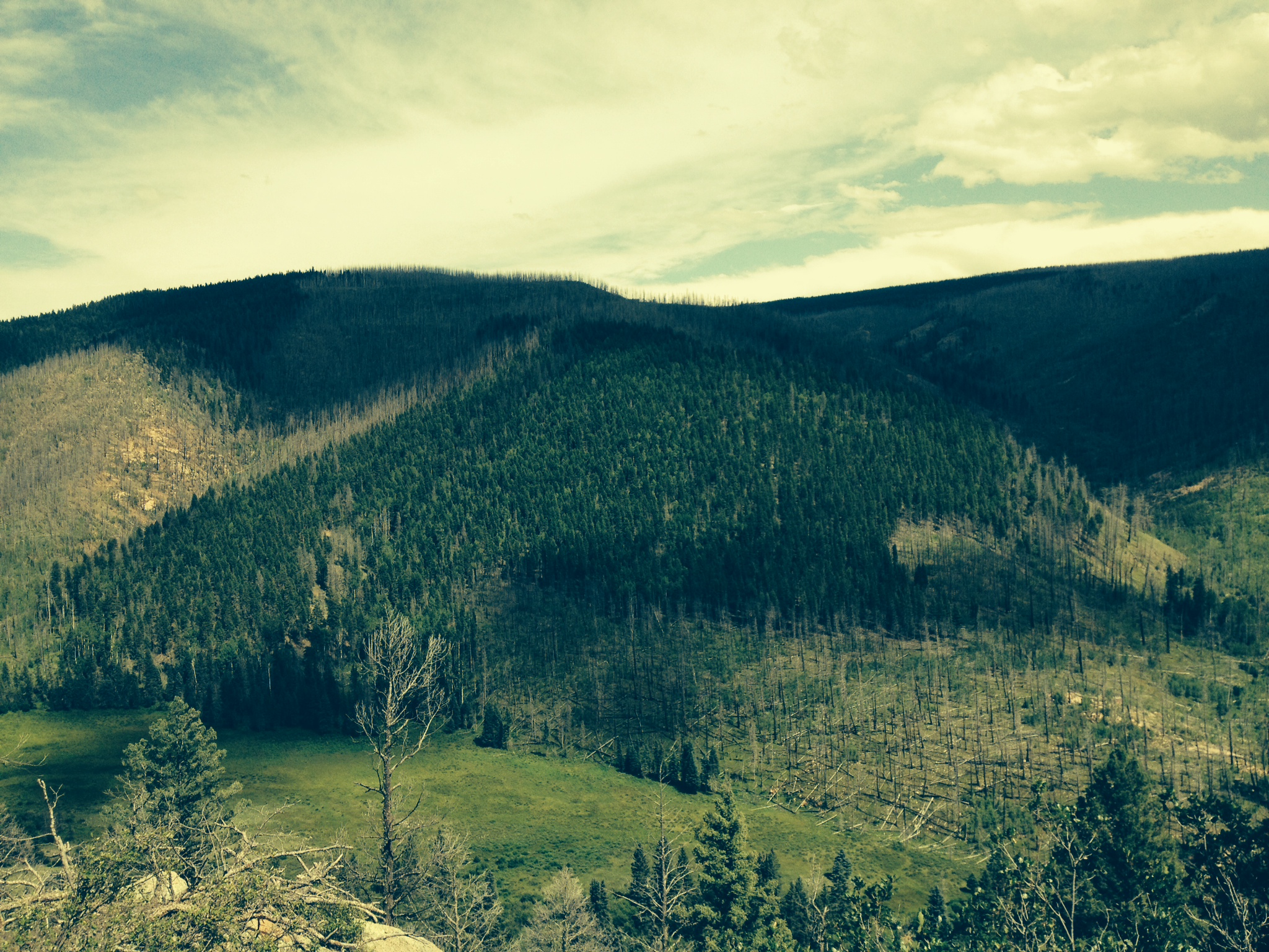
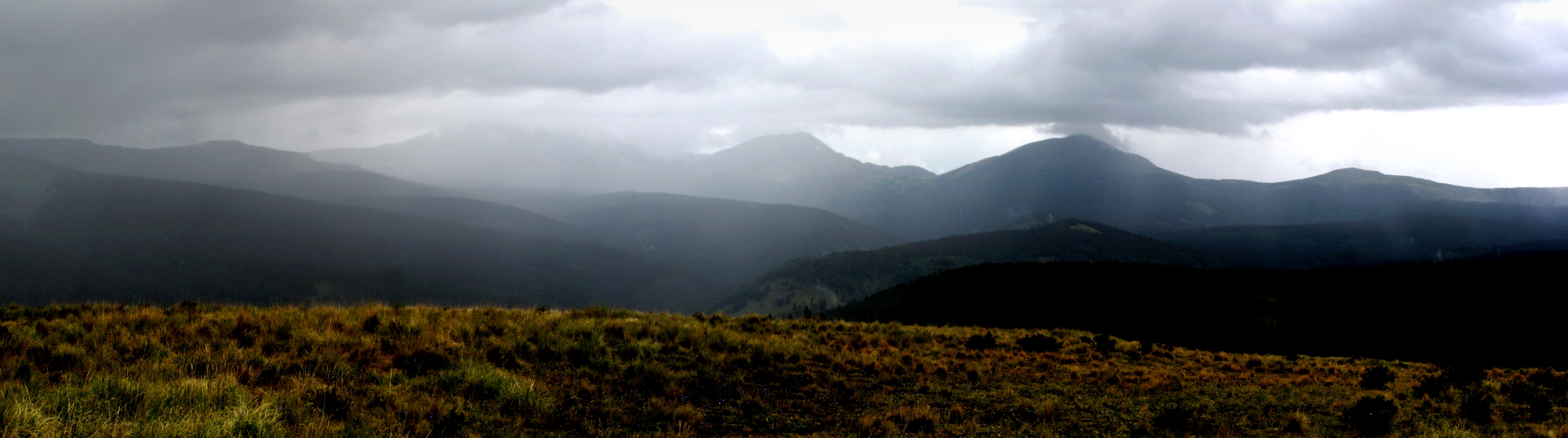
Big View
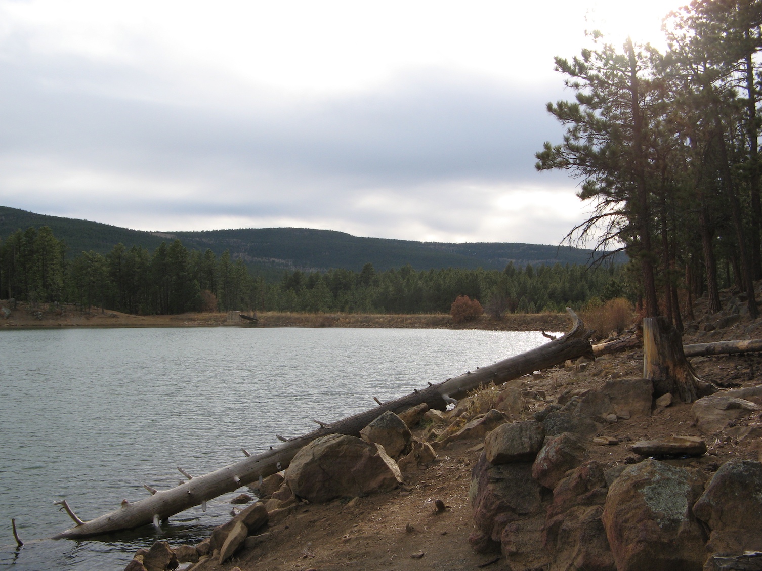
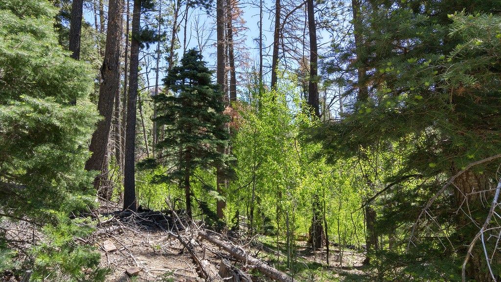
Downed tree
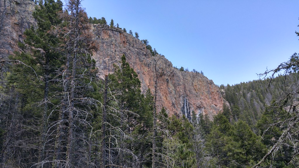
Not what I expected from New Mexico.
Horse-Rio_de_la_Casa_Valley.jpg
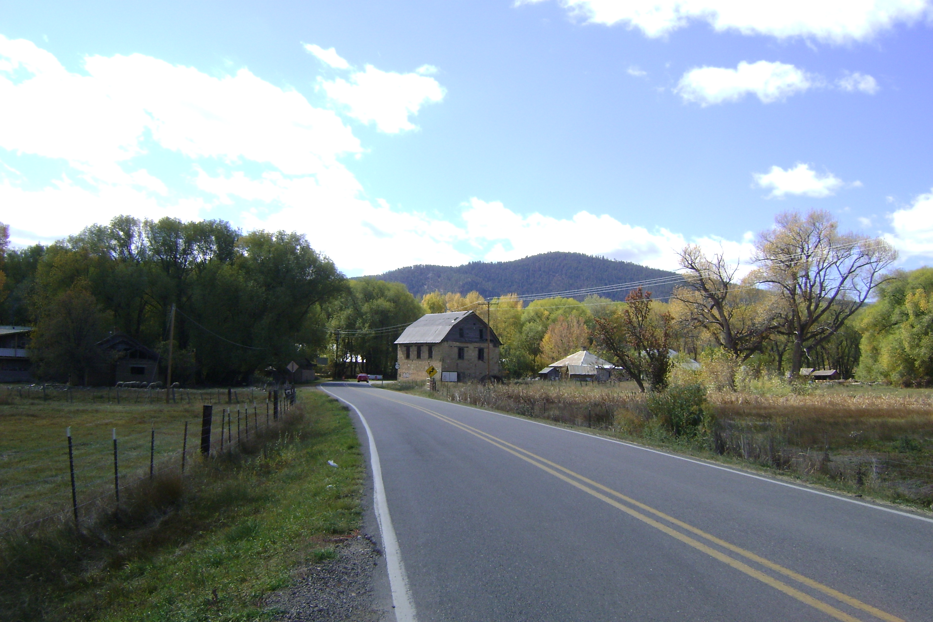
Barn at Mora
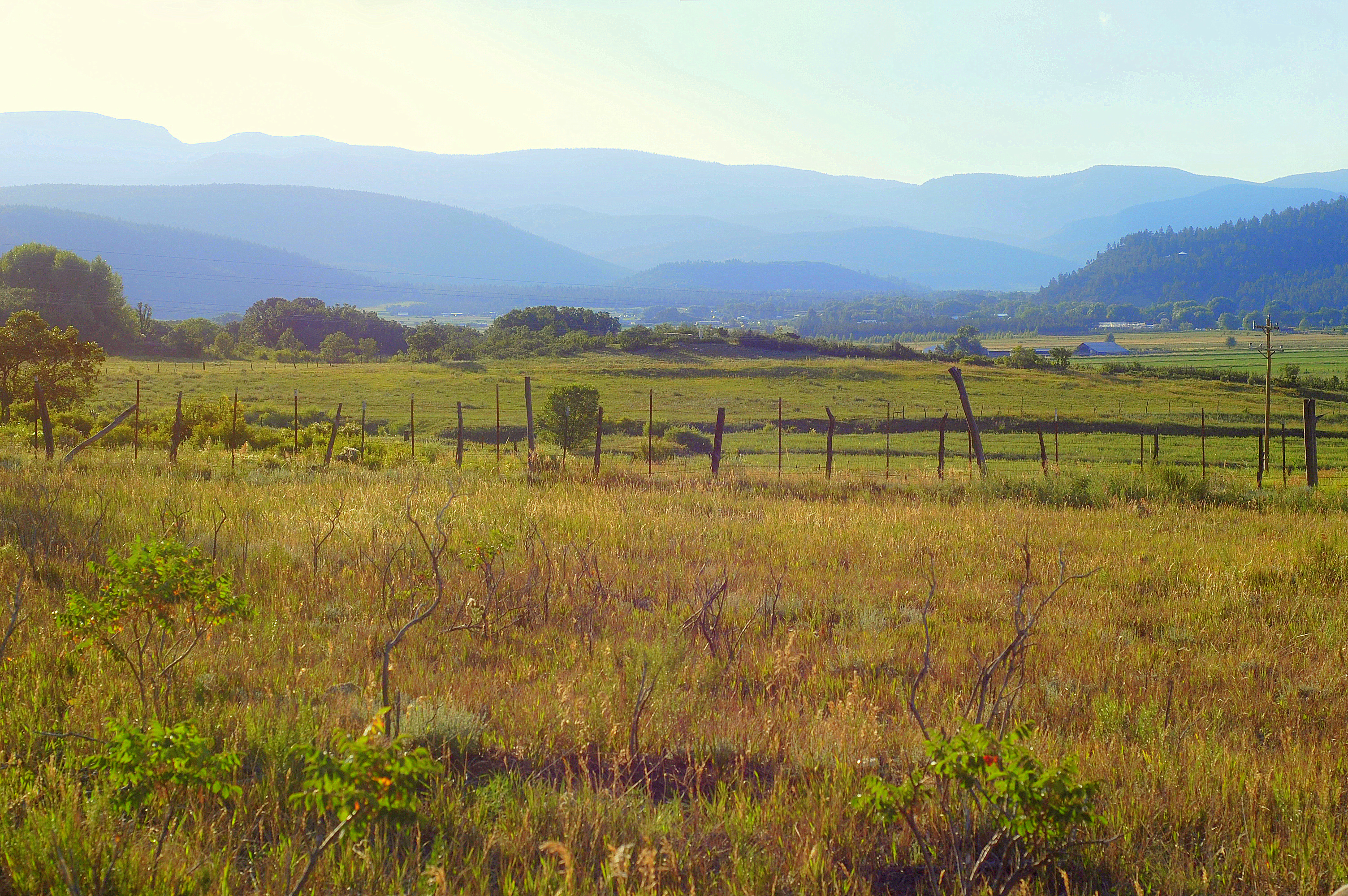
Goodbye New Mexico.
PECOSW_07-07-2012_111-114
PECOSW_07-07-2012_122
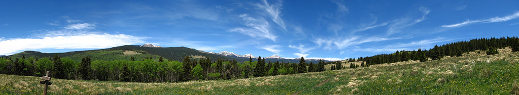
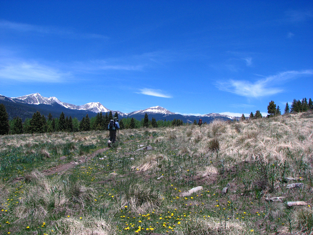
Truchas Peaks from Hamilton Mesa
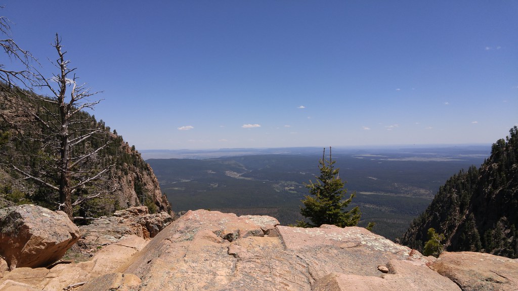
Photos from Hermits Peak hike
Photos from Hermits Peak hike
Stinkbait in front of Truchas Peaks

Photos from Hermits Peak hike
Photos from Hermits Peak hike
PECOS_07-03-2010_161_IMG_0549

Photos from Hermits Peak hike
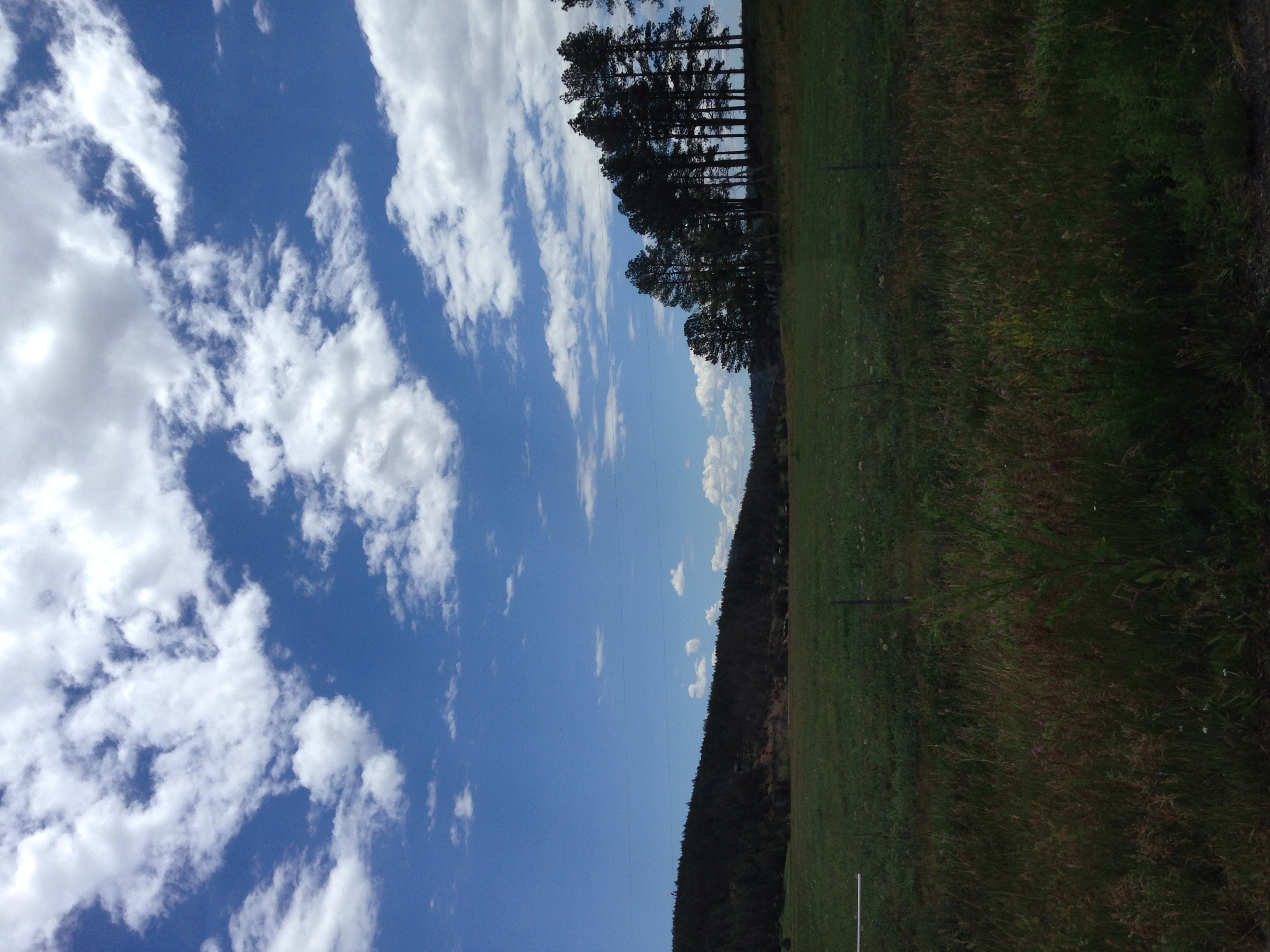
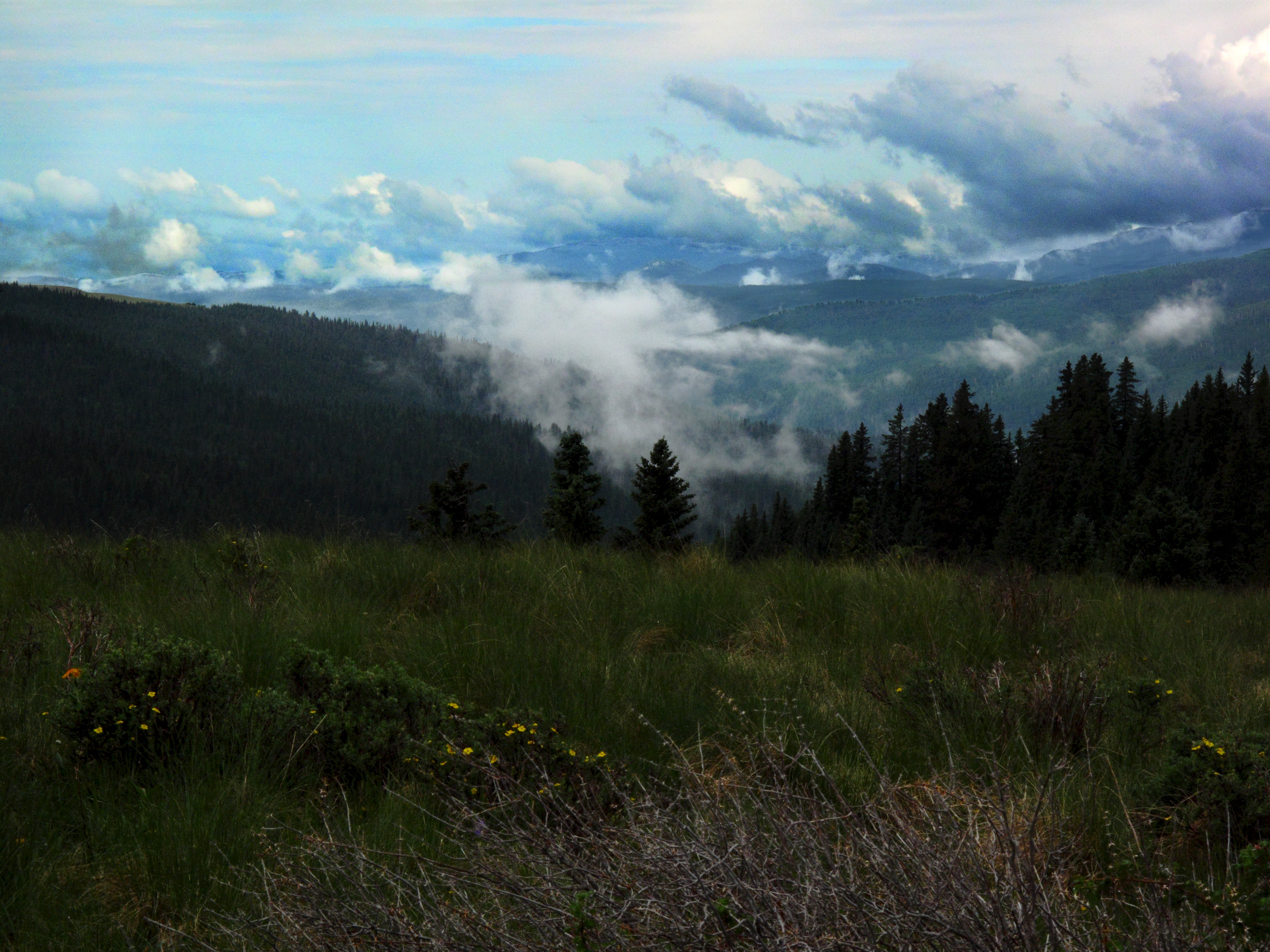
Blue Skies
Topographic Map of State Route, State Rte, Rociada, NM, USA
Find elevation by address:

Places near State Route, State Rte, Rociada, NM, USA:
Rociada
302 State Rte 105
21 Alta Vista
Lone Pine Mesa
30 E Meadow Ln
305 County Rd A042
Morphy Lake
Monte Aplanado Road
Hermit Peak
El Cielo Mountain
NM-, Cleveland, NM, USA
Fragoso Ridge
Cleveland
1 Christian Camp Dr
Capulin Hill
El Porvenir Campground
Mora County
Mora
NM-, Mora, NM, USA
1448 Nm-434
Recent Searches:
- Elevation of Corso Fratelli Cairoli, 35, Macerata MC, Italy
- Elevation of Tallevast Rd, Sarasota, FL, USA
- Elevation of 4th St E, Sonoma, CA, USA
- Elevation of Black Hollow Rd, Pennsdale, PA, USA
- Elevation of Oakland Ave, Williamsport, PA, USA
- Elevation of Pedrógão Grande, Portugal
- Elevation of Klee Dr, Martinsburg, WV, USA
- Elevation of Via Roma, Pieranica CR, Italy
- Elevation of Tavkvetili Mountain, Georgia
- Elevation of Hartfords Bluff Cir, Mt Pleasant, SC, USA