Elevation of County Rd a, Mora, NM, USA
Location: United States > New Mexico > Mora County >
Longitude: -105.41797
Latitude: 35.9312806
Elevation: 2420m / 7940feet
Barometric Pressure: 75KPa
Elevation Map:
Satellite Map:
Related Photos:
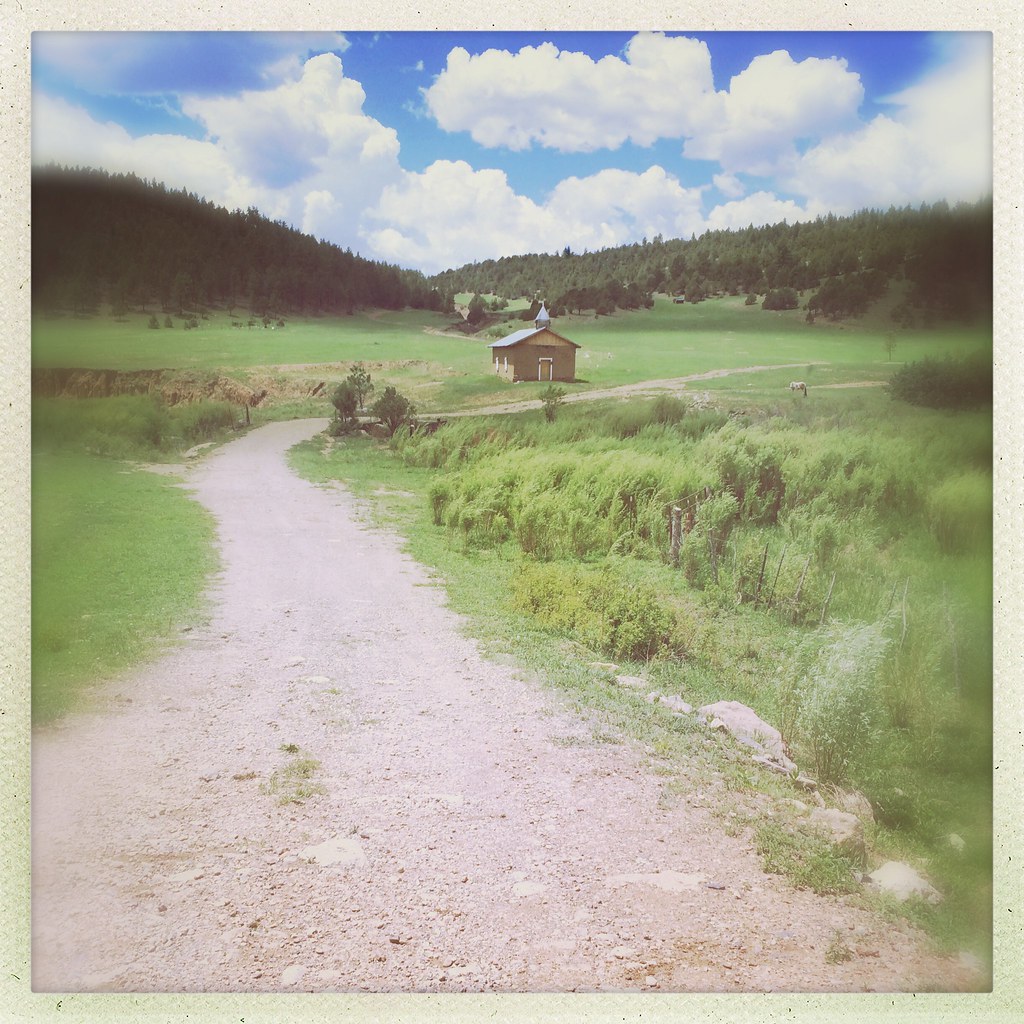
Chapel Valley Mountains Mora New Mexico Dirt Road Church Meadow Horse IMG_9683

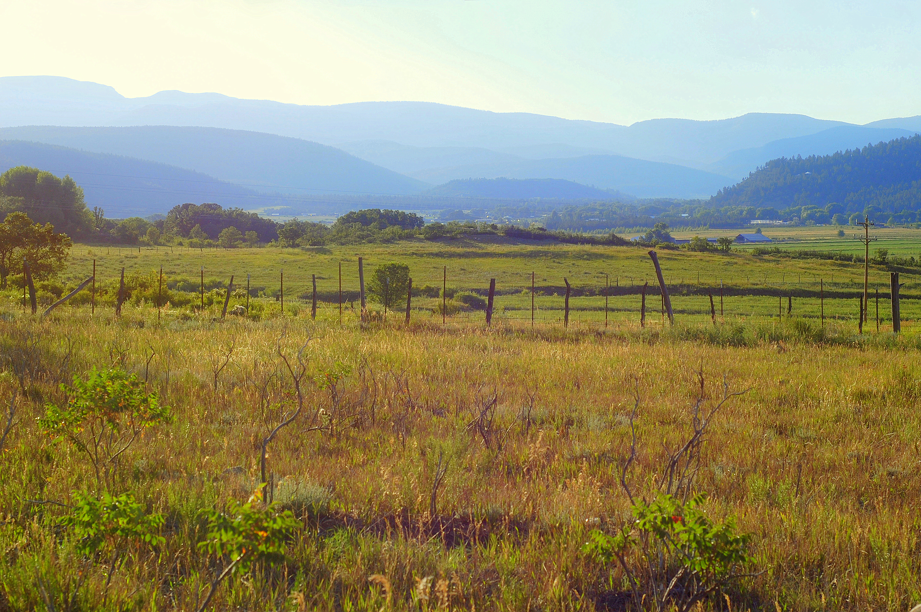
Big View

Lone Pine Meadow view from the north

Mill at La Cueva 1

Mill at La Cueva 2

Autumn in the mountains of northern New Mexico
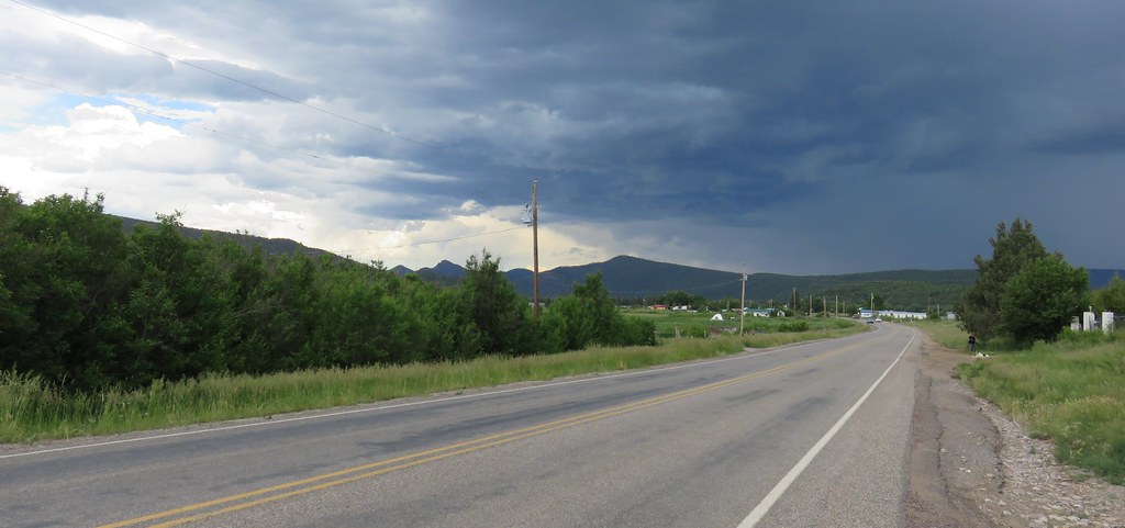
Not what I expected from New Mexico.

Pecos Panorama

Mill at La Cueva 3

East Pecos Baldy - Truchas - Chimayosos

East Fork Santa Barbara Headwaters

Looking Back

East Fork Drainage

Rincon Bonito Drainage

Preparing to Drop into the East Fork

Hermit Peak

Skyline Trail Ridge

Wide Open

Middle Fork Pond

Middle Fork Santa Barbara Drainage
Sangre de Cristo Mountains Landscape (Mora County, New Mexico)
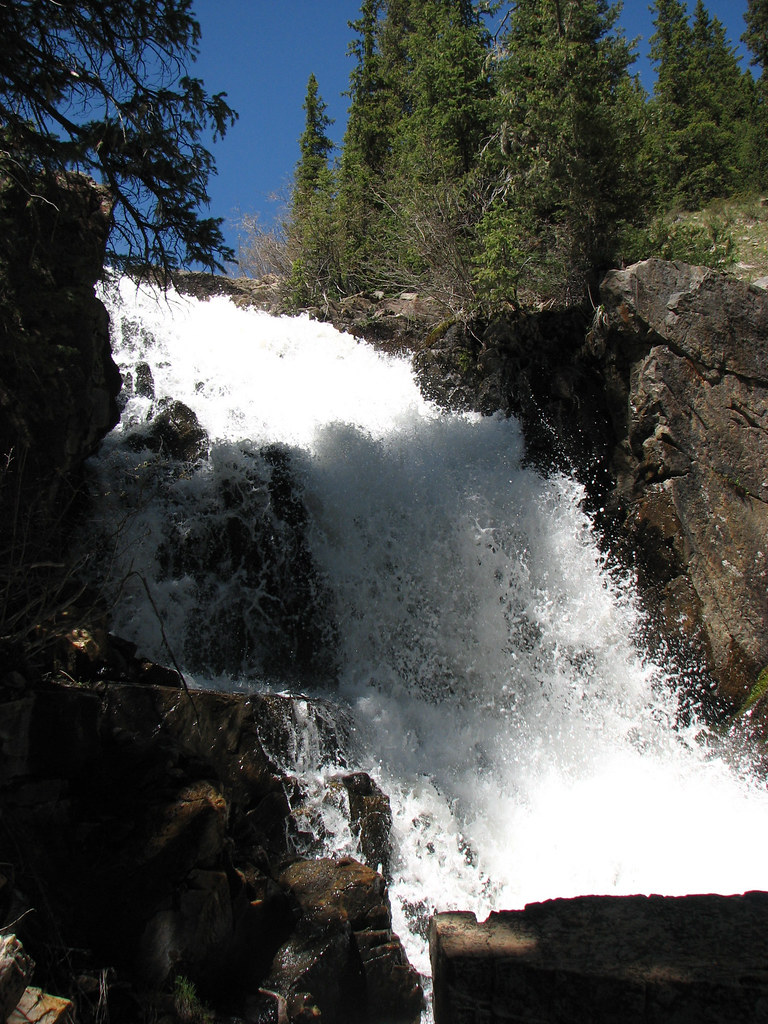
Pecos Falls
Topographic Map of County Rd a, Mora, NM, USA
Find elevation by address:

Places near County Rd a, Mora, NM, USA:
Morphy Lake
Monte Aplanado Road
State Route 105
NM-, Cleveland, NM, USA
Cleveland
302 State Rte 105
Mora County
Mora
Rociada
1448 Nm-434
21 Alta Vista
NM-, Holman, NM, USA
NM-, Mora, NM, USA
Lone Pine Mesa
30 E Meadow Ln
Capulin Hill
Holman Hill
Fragoso Ridge
Romero Hills Hp
West Canyon Loop
Recent Searches:
- Elevation of Corso Fratelli Cairoli, 35, Macerata MC, Italy
- Elevation of Tallevast Rd, Sarasota, FL, USA
- Elevation of 4th St E, Sonoma, CA, USA
- Elevation of Black Hollow Rd, Pennsdale, PA, USA
- Elevation of Oakland Ave, Williamsport, PA, USA
- Elevation of Pedrógão Grande, Portugal
- Elevation of Klee Dr, Martinsburg, WV, USA
- Elevation of Via Roma, Pieranica CR, Italy
- Elevation of Tavkvetili Mountain, Georgia
- Elevation of Hartfords Bluff Cir, Mt Pleasant, SC, USA