Elevation of Capulin Hill, New Mexico, USA
Location: United States > New Mexico > Mora >
Longitude: -105.28473
Latitude: 35.9022602
Elevation: 2440m / 8005feet
Barometric Pressure: 75KPa
Elevation Map:
Satellite Map:
Related Photos:
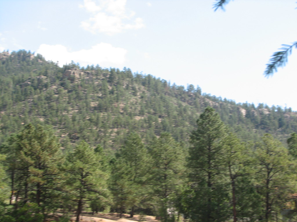
Xmas Tree Canyon
Xmas Tree Canyon
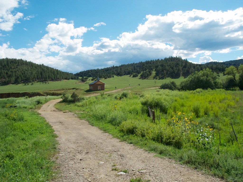
Church in the meadow
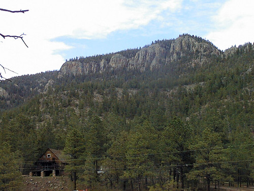
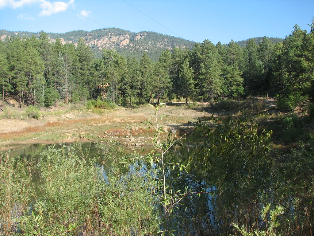
Trip to New Mexico
Trip to New Mexico

Trip to New Mexico
Trip to New Mexico
Trip to New Mexico
Trip to New Mexico
Topographic Map of Capulin Hill, New Mexico, USA
Find elevation by address:

Places near Capulin Hill, New Mexico, USA:
Fragoso Ridge
68 County Rd
NM-, Mora, NM, USA
Mora
Romero Hills Hp
Mora County
1448 Nm-434
Rainsville
NM-, Cleveland, NM, USA
Morphy Lake
West Canyon Loop
Monte Aplanado Road
Cleveland
111 Co Rd A1
111 Co Rd A1
111 Co Rd A1
111 Co Rd A1
111 Co Rd A1
111 Co Rd A1
302 State Rte 105
Recent Searches:
- Elevation of Corso Fratelli Cairoli, 35, Macerata MC, Italy
- Elevation of Tallevast Rd, Sarasota, FL, USA
- Elevation of 4th St E, Sonoma, CA, USA
- Elevation of Black Hollow Rd, Pennsdale, PA, USA
- Elevation of Oakland Ave, Williamsport, PA, USA
- Elevation of Pedrógão Grande, Portugal
- Elevation of Klee Dr, Martinsburg, WV, USA
- Elevation of Via Roma, Pieranica CR, Italy
- Elevation of Tavkvetili Mountain, Georgia
- Elevation of Hartfords Bluff Cir, Mt Pleasant, SC, USA