Elevation of State Rd S-42-, Inman, SC, USA

Location: United States > South Carolina > Spartanburg County > Inman >

Longitude: -82.105876

Latitude: 35.0682977

Elevation: -10000m / -32808feet

Barometric Pressure: 295KPa

Elevation Map:

elevation map of State Rd S-42-, Inman, SC, USA

Satellite Map:

Satellite map of State Rd S-42-, Inman, SC, USA

Related Photos:

railroad tracks fog geo:lat=34942026 geo:lon=82122202 geotagged nikonstunninggallery panoramio 500px faa fineartamerica flickrart portfolio
railroad fog 1
blue red white d50 catchycolors geotagged nikond50 japanesemaple hdr nikonstunninggallery geolat34931225 geolon82125463
Red, White, and Blue
railroad usa sc geotagged southcarolina adayonearth adoe wellford startex adoe2 geolat34939246 geolon82105121
RailRoad in Wellford, South Carolina, USA
samsunggalaxyii
Lavender Nights at Lyman Lake
followbacktrips4sviewlikes4likesfollownaturelikeforlikelikesforlikesilikefollowforfollowinstagoodf4ffollowmelikealll4llikerlandscapeloverslandscapeloversamazinglike4likelandscapephotographyphotos exif:focallength=44mm camera:model=canoneos5dmarkiv exif:model=canoneos5dmarkiv camera:make=canon exif:isospeed=100 geostate geocountry geocity geo:lon=8226363 geolocation geo:lat=35085753333333 exif:aperture=ƒ28 exif:lens=2470mm exif:make=canon
Tree with Mushrooms in Landrum, SC
geotagged geolat351298194444444 geolon820991083333333
P1050582.JPG
campbellscoveredbridge coveredbridge gowensville greenvillecounty northerngreenvillecounty southcarolina landrum unitedstates
Side view
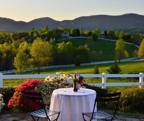
theredhorseinn blueridgemountains cottage azaleas wine romanticgetaway romanticview romantic greenville sc landrum
Wine Glass Table Moutains
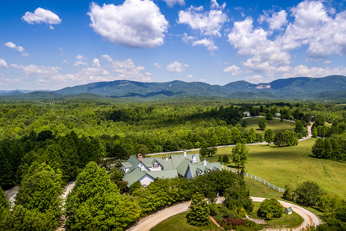
landrum southcarolina unitedstates us theredhorseinn blueridgemountains blueskies greenville sc
Aerial View of The Inn
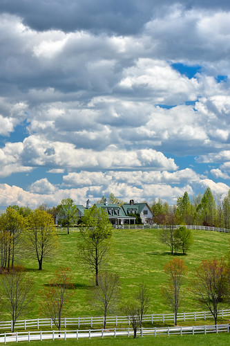
theredhorseinn clouds maininn greenpasture greenville sc landrum
Main Inn View
theredhorseinn blueridgemountains hayloft romanticview romanticgetaway greenville sc landrum
september evening hayloft with mountain
elopementwedding fall fallcolor pastureviews theredhorseinn blueridgemountains lan landrum greenville sc
Fall Pasture
theredhorseinn sunset bedandbreakfast romanticgetaway romanticview romance honeymoon elopementwedding greenville sc landrum
Sundial at Sunset
underpass geotagged hdr geolat34955111 geolon82098083
Wellford Underpass HDR a
geotagged geolat351311777777778 geolon821003527777778
P1050581.JPG
vacation sc hdr 3xp tthdr
Blue Ridge Mountain View from our vacation cabin porch (HDR)
theredhorseinn blueridgemountains landrum bedandbreakfast champagne romance views nature greenville sc
Autumn Mnt View with Glasses
vacation sc hdr blueridge 3xp tthdr
Blue Ridge Mountain View from our vacation cabin porch (HDR)
sign signal federal federalsign federalsignal federalsignandsignal campobellosc model5t model5tsiren federalsignmodel5t federalmodel5t federalsignandsignalmodel5t
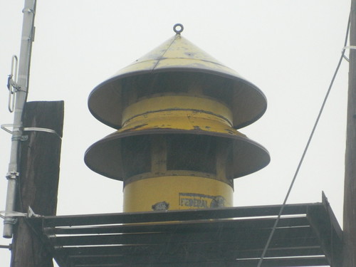
Federal Sign & Signal Model 5T - Campobello, SC
theredhorseinn blueridgemountains sundial sunset romanticview greenville sc landrum
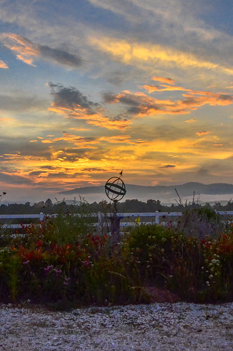
sunset sundial
geotagged geolat351932888888889 geolon821673166666667
P1050576.JPG
2012-09-18 14.31.12
2012-09-18 14.32.51
hdr pentaxk100d justclouds
Trip'n Clouds
pentaxk100d
Middle Tiger River Falls
wedding sc southcarolina leif campobello spiegelfarms
katharine hamer...leif 043
campobello sc unitedstates faa fineartamerica portfolio
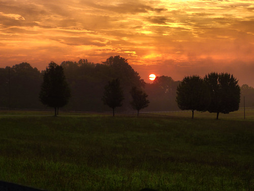
Landrum Sunrise 2
wedding sc southcarolina leif campobello spiegelfarms
katharine hamer...leif 044
berrymill greenvillecounty greer sc14 southcarolina unitedstates
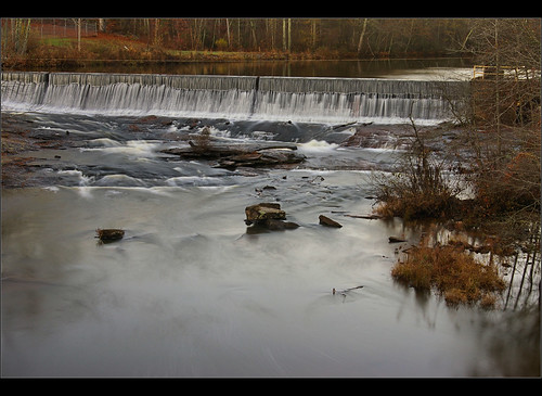
Berry Mills pond
trees mountains field clouds rural landscape antique uv scenic southcarolina uva ultraviolet textured
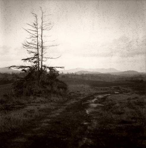
An Imperfect Recollection
sc unitedstates campobello
Landrum Sunrise
freycreek southcarolina spartanburgcounty waterfall unitedstates
Frey Creek Falls - 11
us unitedstates southcarolina snoddy wellford
Bankhead Highway through South Carolina-137
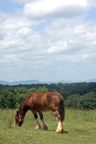
terrain horse field grazing
2009_06_06_13_22_59_6448-1
fortprince southcarolina spartanburgcounty unitedstates
Battle of Fort Prince historical marker - 2
us unitedstates southcarolina skyland greer
Berry Mill Pond
autumn trees sky fall clouds rural landscape south carolina infrared fields pastoral
October in Spartanburg County (infrared version)
2011
Day's eye - 1
asheville farm southcarolina northcarolina bb bedbreakfast landrum nikond300 barkingfoxfarm
Barking Fox Farm