Elevation of SC-, Campobello, SC, USA
Location: United States > South Carolina > Spartanburg County > Campobello >
Longitude: -82.169973
Latitude: 35.077214
Elevation: 316m / 1037feet
Barometric Pressure: 98KPa
Elevation Map:
Satellite Map:
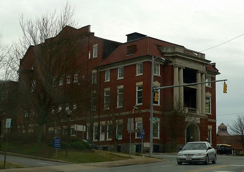
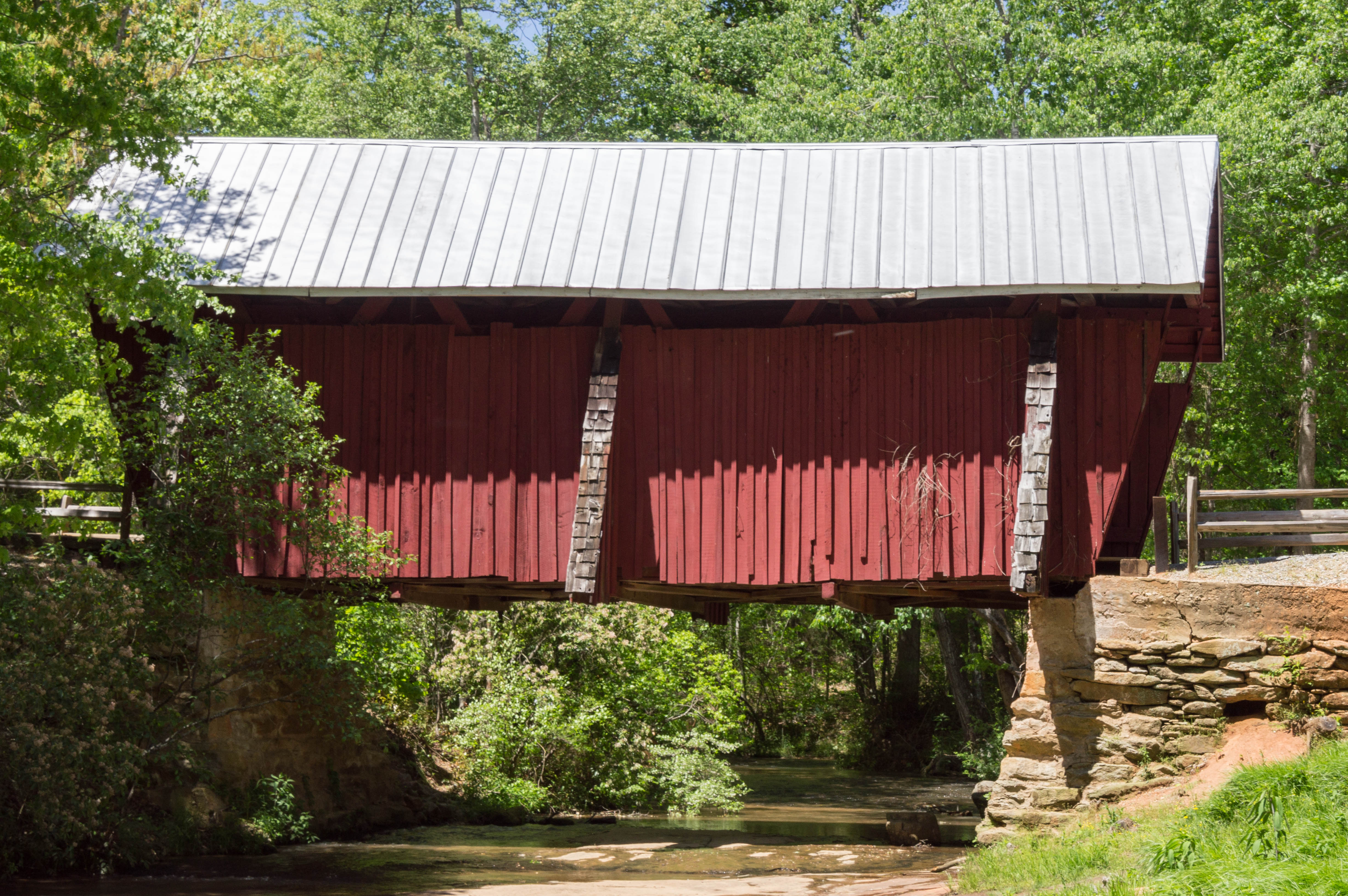
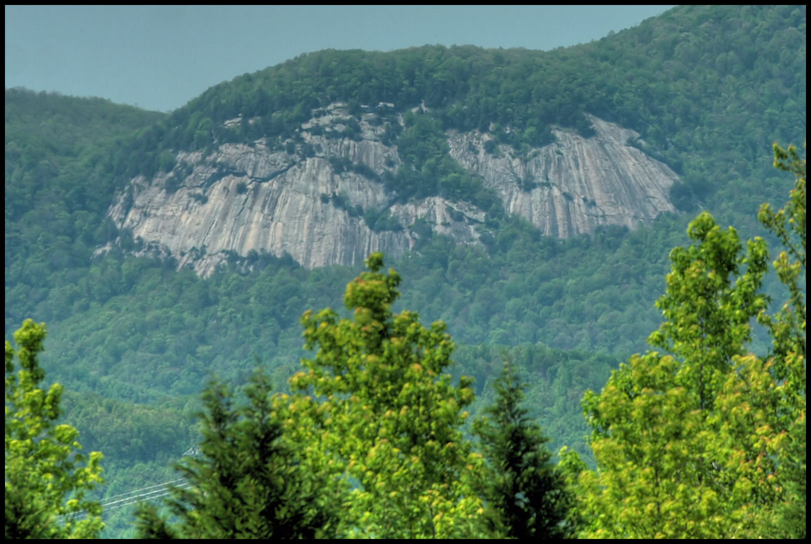
Related Photos:
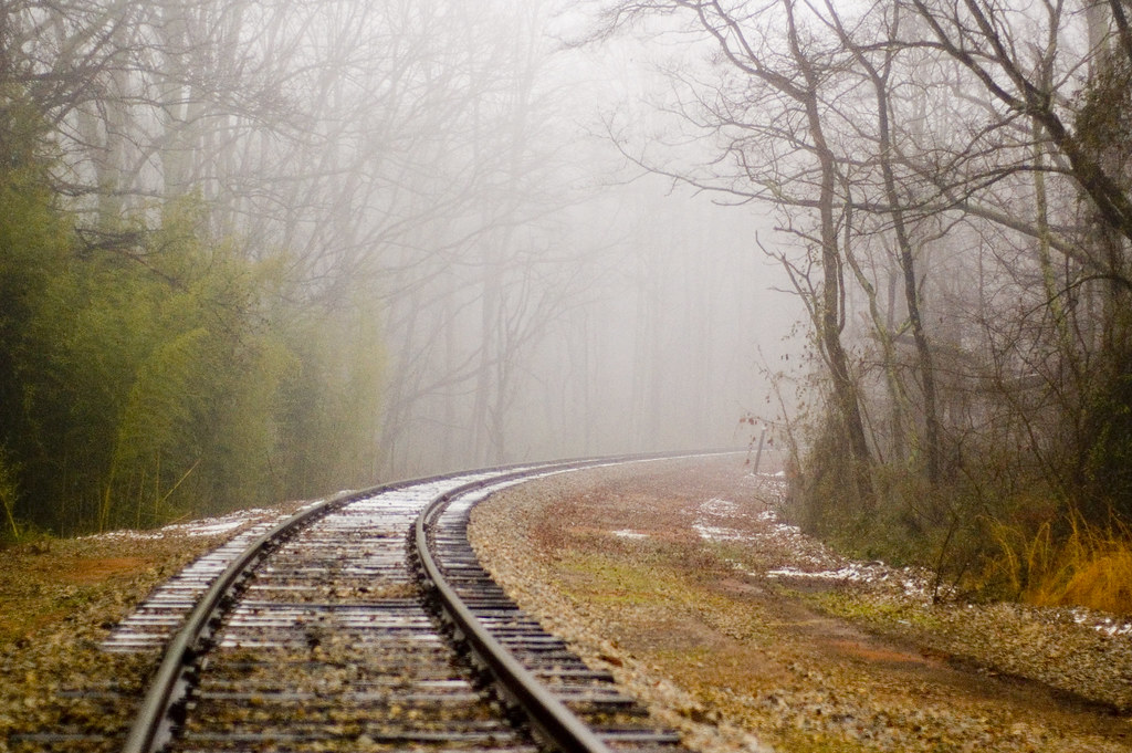
railroad fog 1

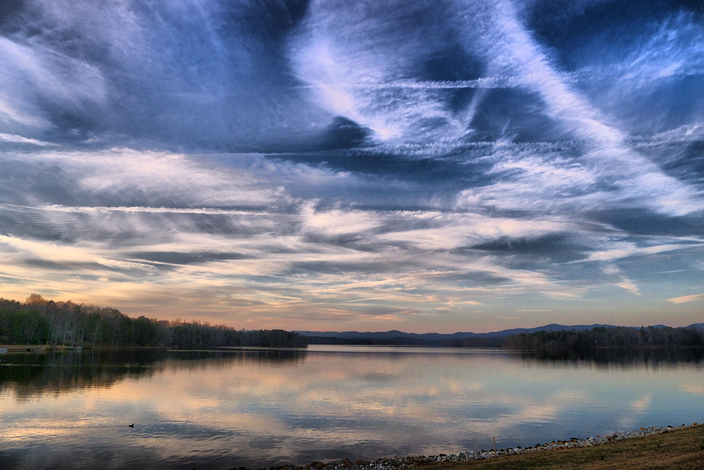
Lavender Nights at Lyman Lake

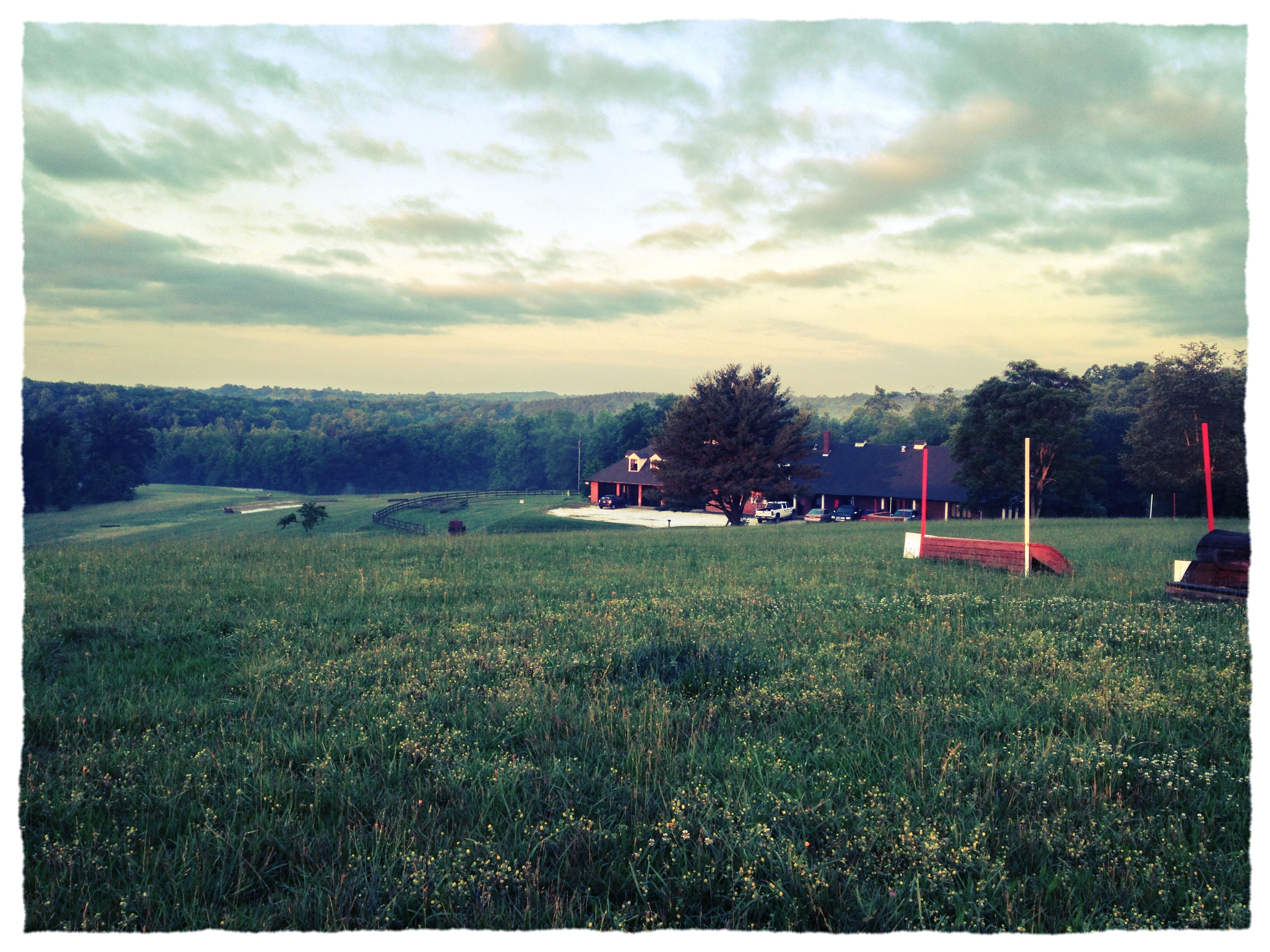
P1050582.JPG
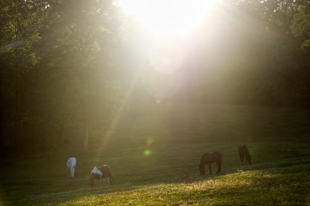
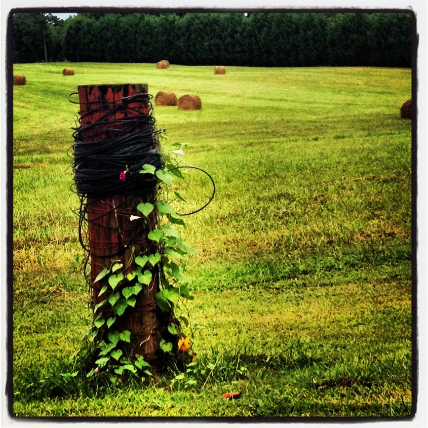
out to pasture
P1050581.JPG
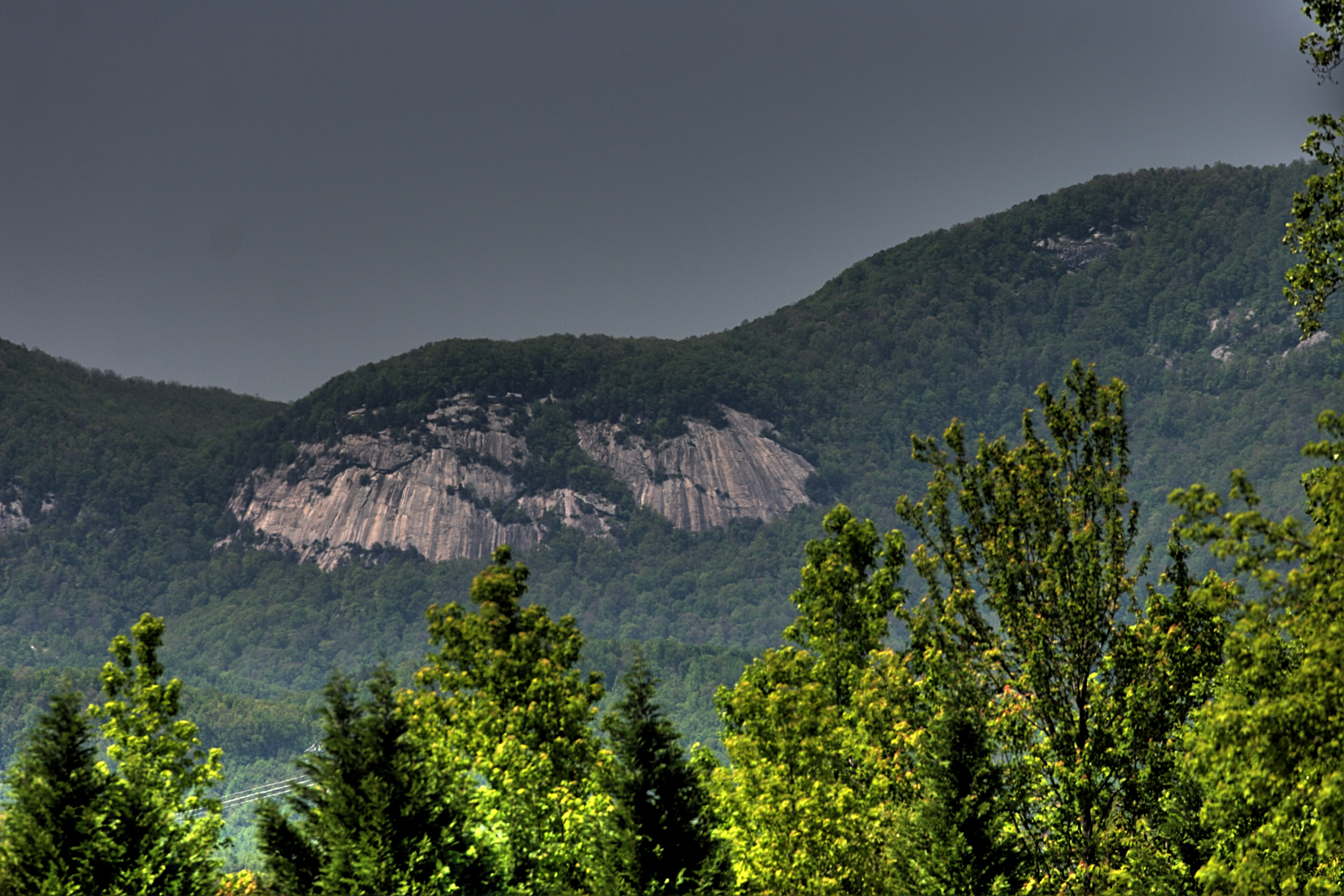
Blue Ridge Mountain View from our vacation cabin porch (HDR)

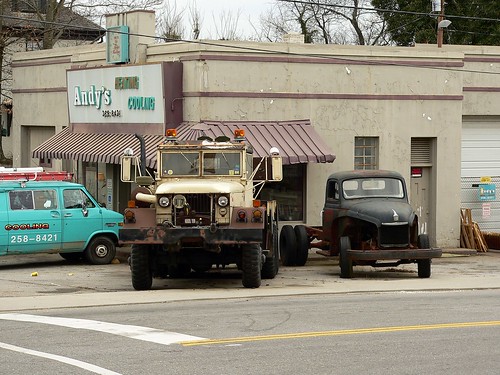
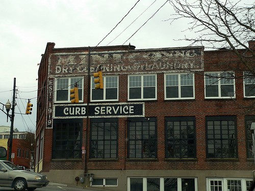
Federal Sign & Signal Model 5T - Campobello, SC
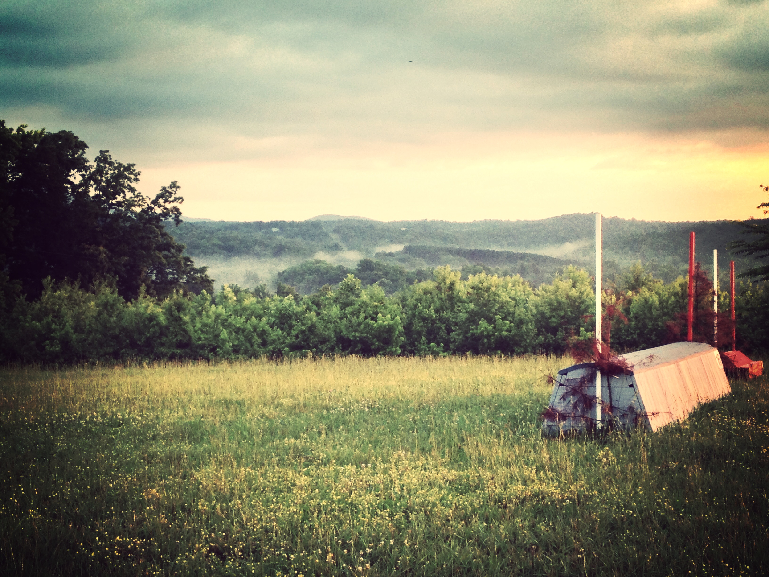
P1050576.JPG

Stopping the Goldwing on the way to Camp Old Indian to get a better view of Glassy Mountain
Side view
Blue Ridge Mountain View from our vacation cabin porch (HDR)
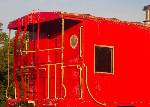
Red Caboose 2
P1050577.JPG
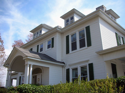
Walnut Lane B&B
Lake Cunningham 2
Lake Cunningham
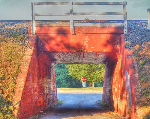
Wellford Underpass HDR a

Jan 10

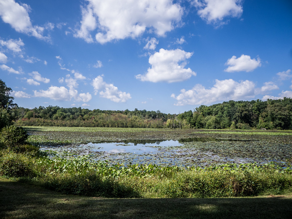
View across the lake
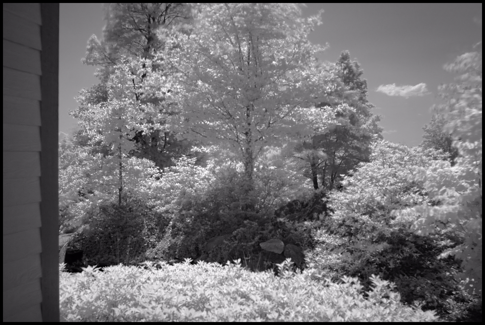
View from our vacation cabin porch (IR)
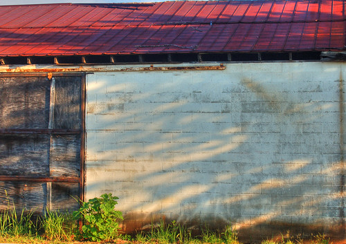
Wellford Shack Wall HDR
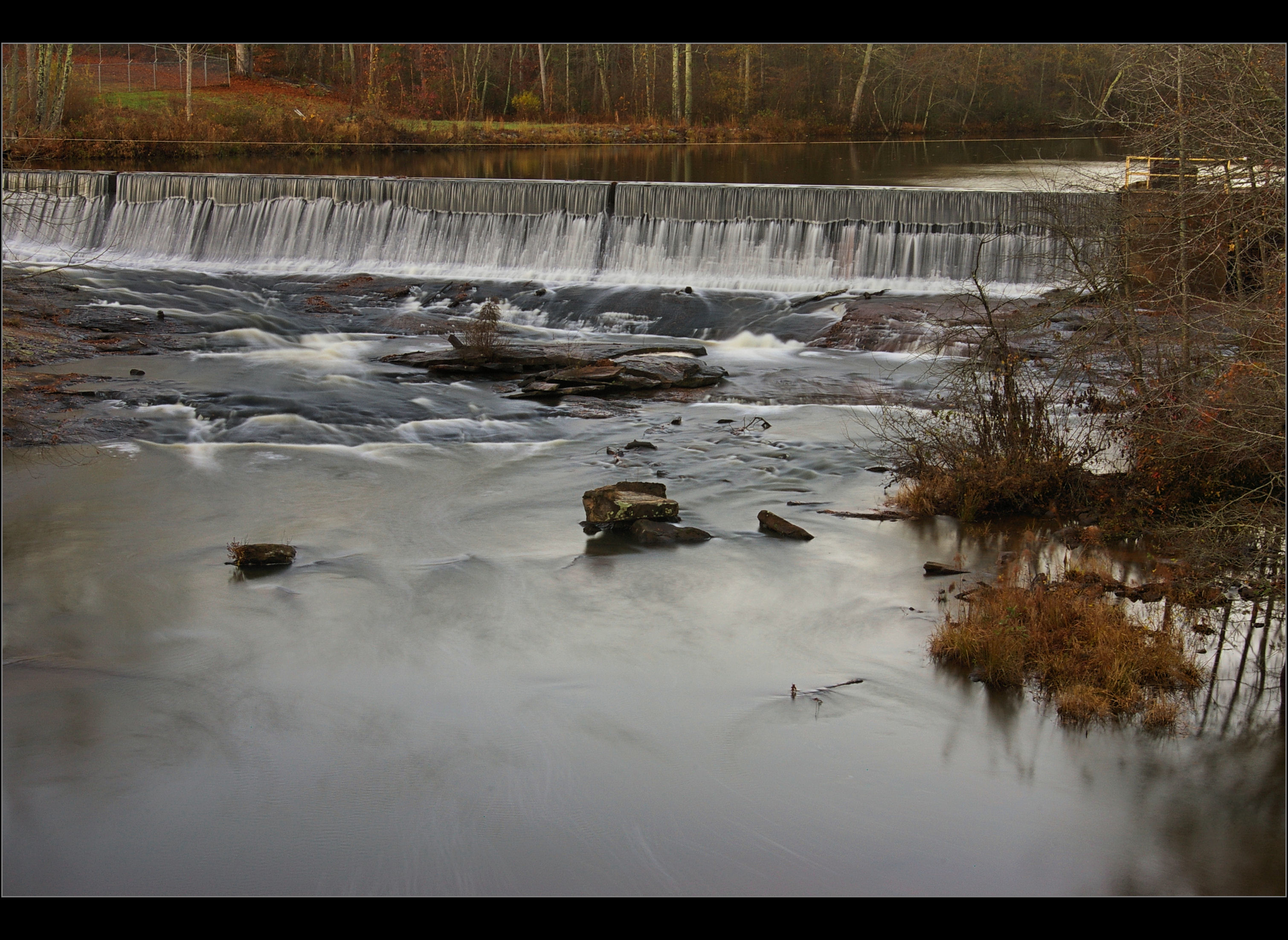
Middle Tiger River Falls
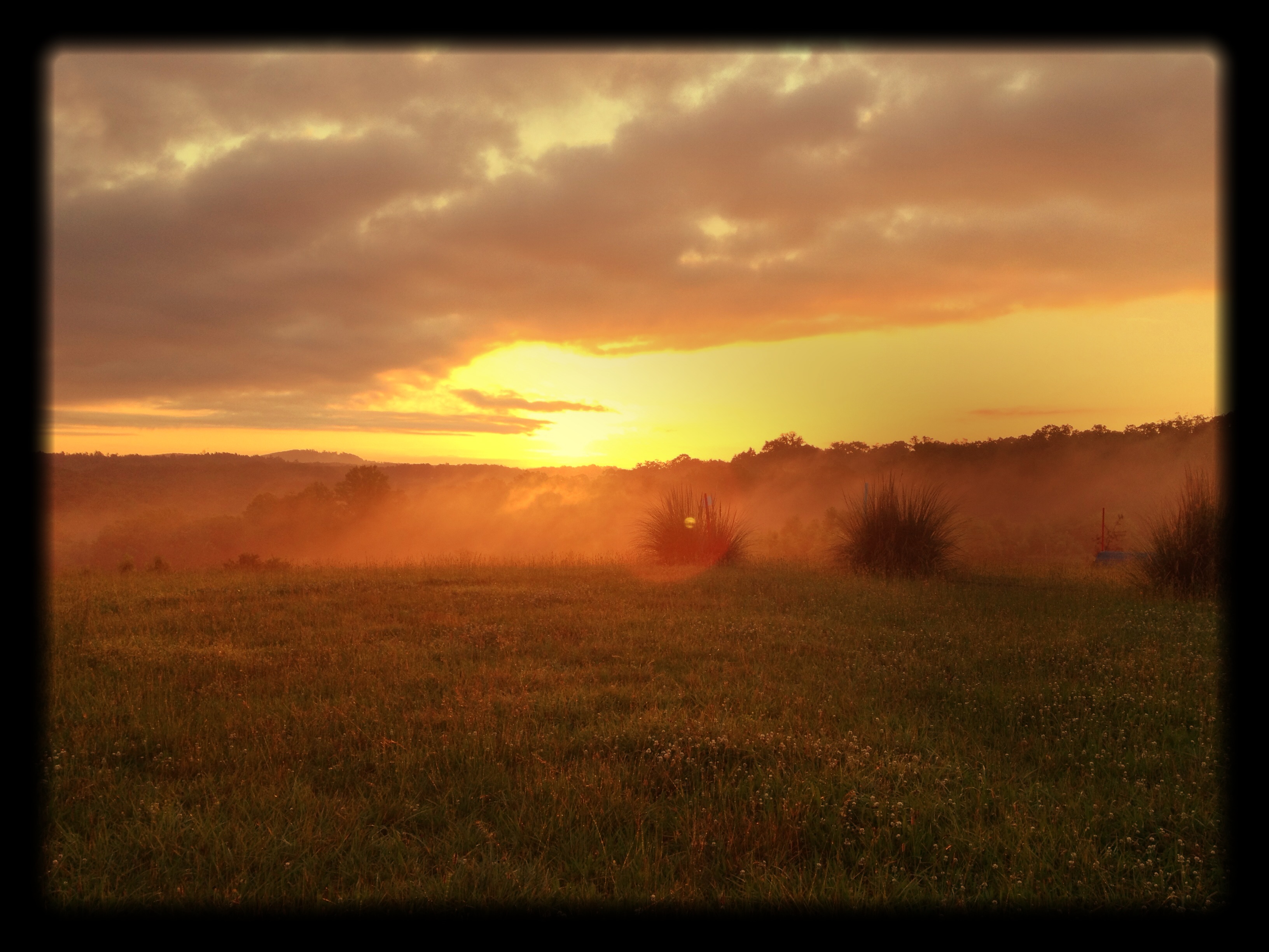
It's a Beautiful Morning in the Blue Ridge Foothills.

Trip'n Clouds

It's a Beautiful Morning in the Blue Ridge Foothills.
It's a Beautiful Morning in the Blue Ridge Foothills.
It's a Beautiful Morning in the Blue Ridge Foothills.

Landrum Sunrise
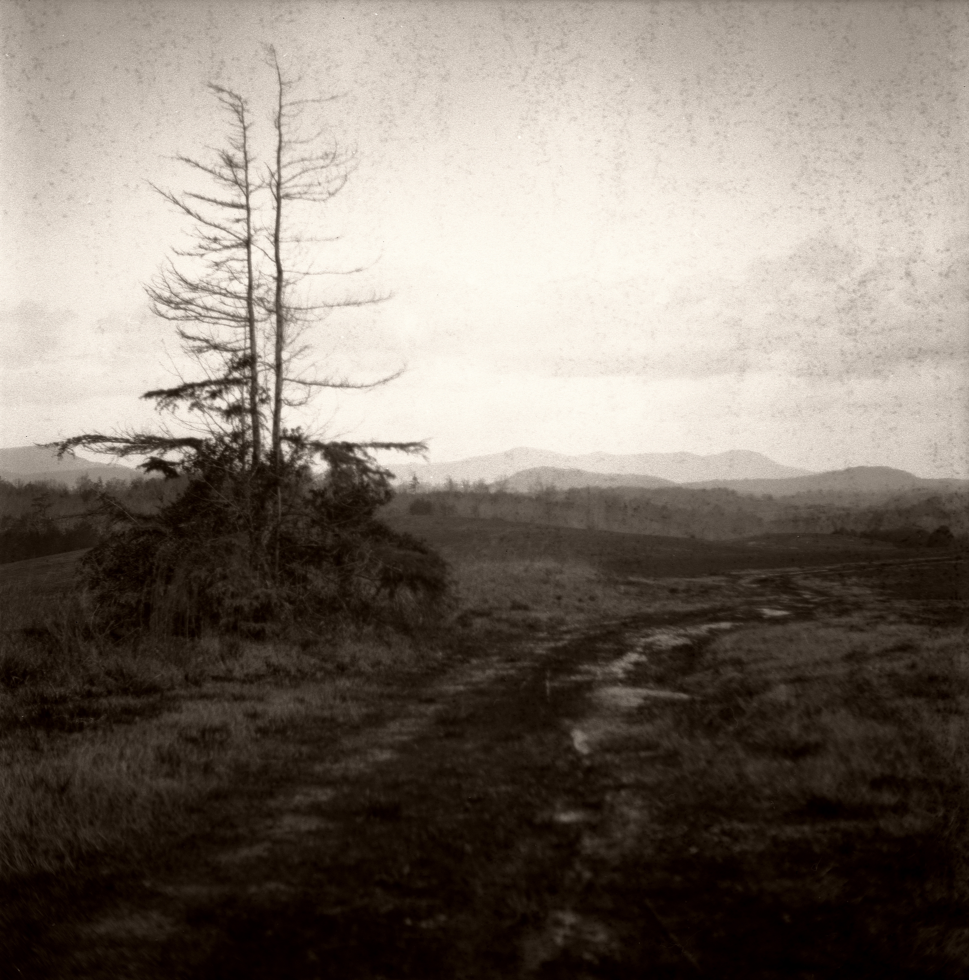
An Imperfect Recollection

2012-09-18 14.31.12
2012-09-18 14.35.32

2012-09-18 14.32.51
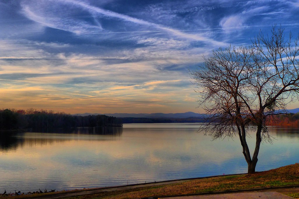
Lake Robinson

Lake Robinson on a foggy, January morning
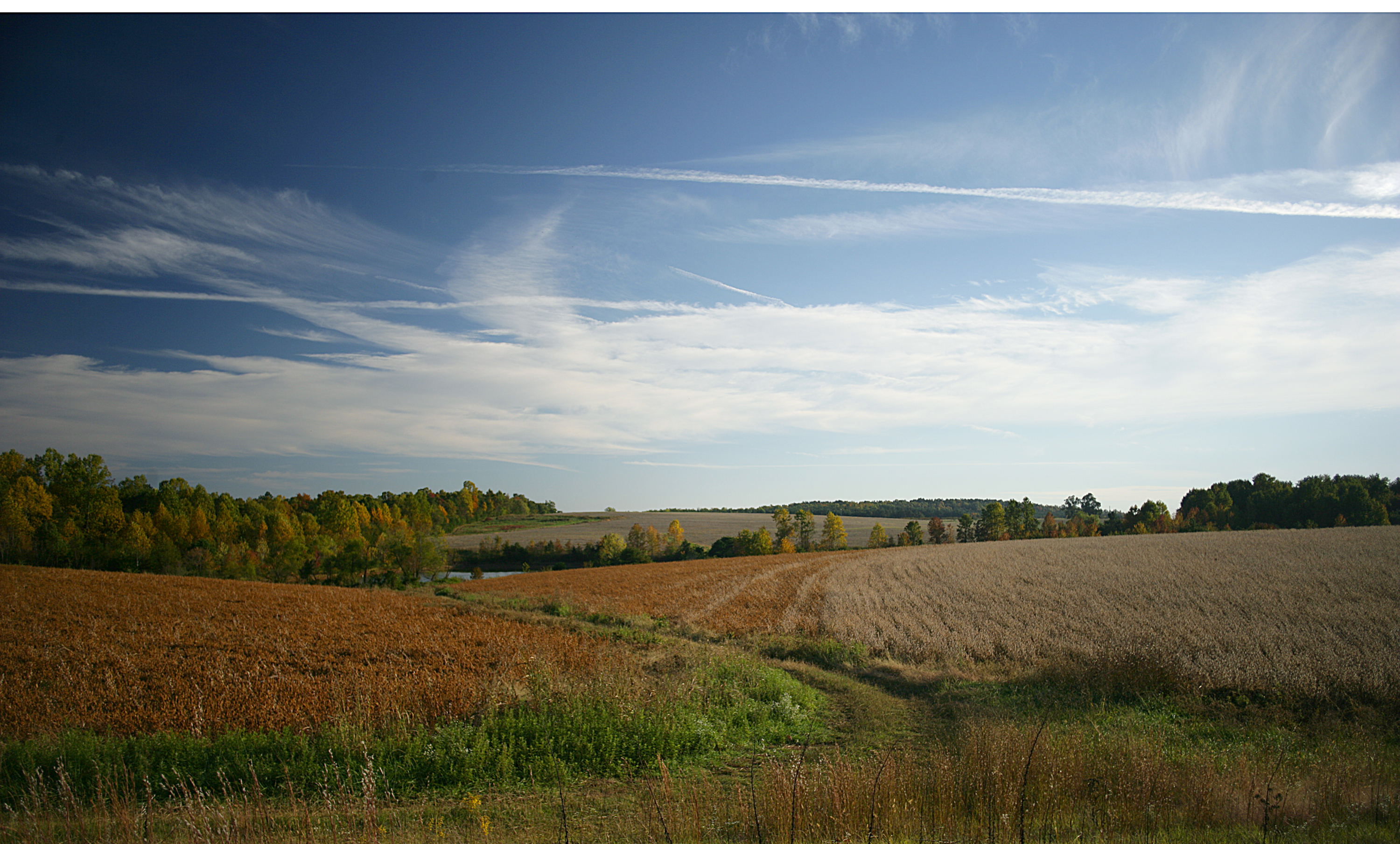
October in Spartanburg County (color)
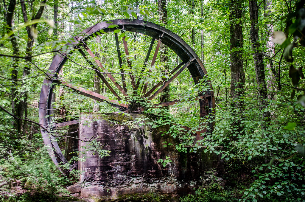
Gilreath Mill Water Wheel
Berry Mill Pond
Pacific Mill Lyman, SC
Lake Robinson with Tree
Topographic Map of SC-, Campobello, SC, USA
Find elevation by address:

Places near SC-, Campobello, SC, USA:
381 Granny Doris Blvd
255 Scenic Ave
355 Campobello-gramling School Rd
279 State Rd S-42-2762
595 Stone Rd
151 Gramling School Rd
173 Settle Dr
Campobello
1121 Wingo Rd
321 State Rd S-42-371
Harvey Gosnell Road
271 State Rd S-42-2314
190 State Rd S-42-2314
SC-, Lyman, SC, USA
100 Circle Dr
371 Shadow Ln
2205 Sc-357
Inman
205 S Blackstock Rd
4223 Jordan Rd
Recent Searches:
- Elevation of Corso Fratelli Cairoli, 35, Macerata MC, Italy
- Elevation of Tallevast Rd, Sarasota, FL, USA
- Elevation of 4th St E, Sonoma, CA, USA
- Elevation of Black Hollow Rd, Pennsdale, PA, USA
- Elevation of Oakland Ave, Williamsport, PA, USA
- Elevation of Pedrógão Grande, Portugal
- Elevation of Klee Dr, Martinsburg, WV, USA
- Elevation of Via Roma, Pieranica CR, Italy
- Elevation of Tavkvetili Mountain, Georgia
- Elevation of Hartfords Bluff Cir, Mt Pleasant, SC, USA