Elevation of Johnson Hills Drive, Johnson Hills Dr, South Carolina, USA
Location: United States > South Carolina > Spartanburg County > Inman >
Longitude: -82.083362
Latitude: 35.0515467
Elevation: 289m / 948feet
Barometric Pressure: 98KPa
Elevation Map:
Satellite Map:
Related Photos:

railroad fog 1

Rear View Sunrise
Red, White, and Blue
RailRoad in Wellford, South Carolina, USA

Lavender Nights at Lyman Lake

Broken Icon

P1050582.JPG
Wellford Underpass HDR a
P1050581.JPG

Jan 10
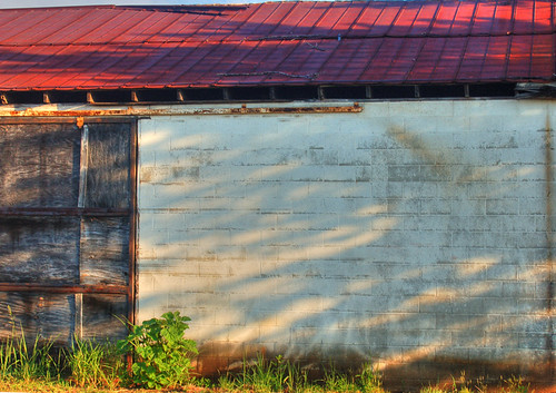
Wellford Shack Wall HDR
P1050584.JPG

View across the lake
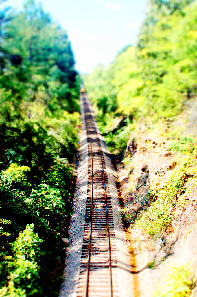
RailRoad 1 tiltshift
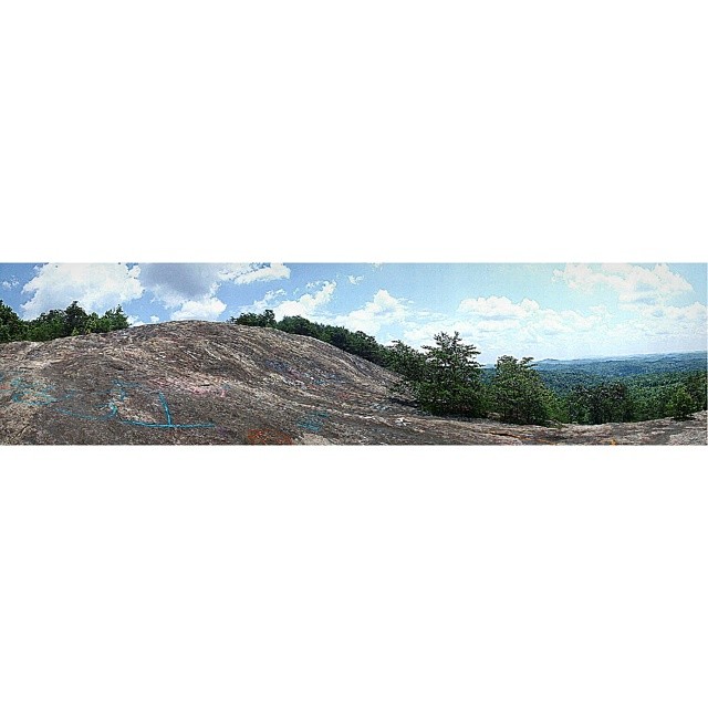
Bald Rock a panoramic view from below. #GreenvilleSC
Red Caboose 2
Wellford Shack HDR 1a

Glowing Tracks
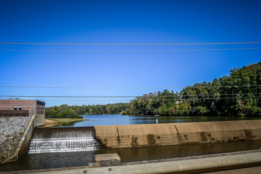
Startex Bridge 1
Startex Bridge 3
Red Hill Farms HDR 2a
Landrum Sunrise 2

SCC Tornado Damage

2012-09-18 14.31.12

2012-09-18 14.32.51
Middle Tiger River Falls

katharine hamer...leif 043

katharine hamer...leif 044

Frey Creek Falls - 11
An Imperfect Recollection

Landrum Sunrise
Bankhead Highway through South Carolina-137

2009_06_06_13_22_59_6448-1
Battle of Fort Prince historical marker - 2

October in Spartanburg County (infrared version)
Day's eye - 1
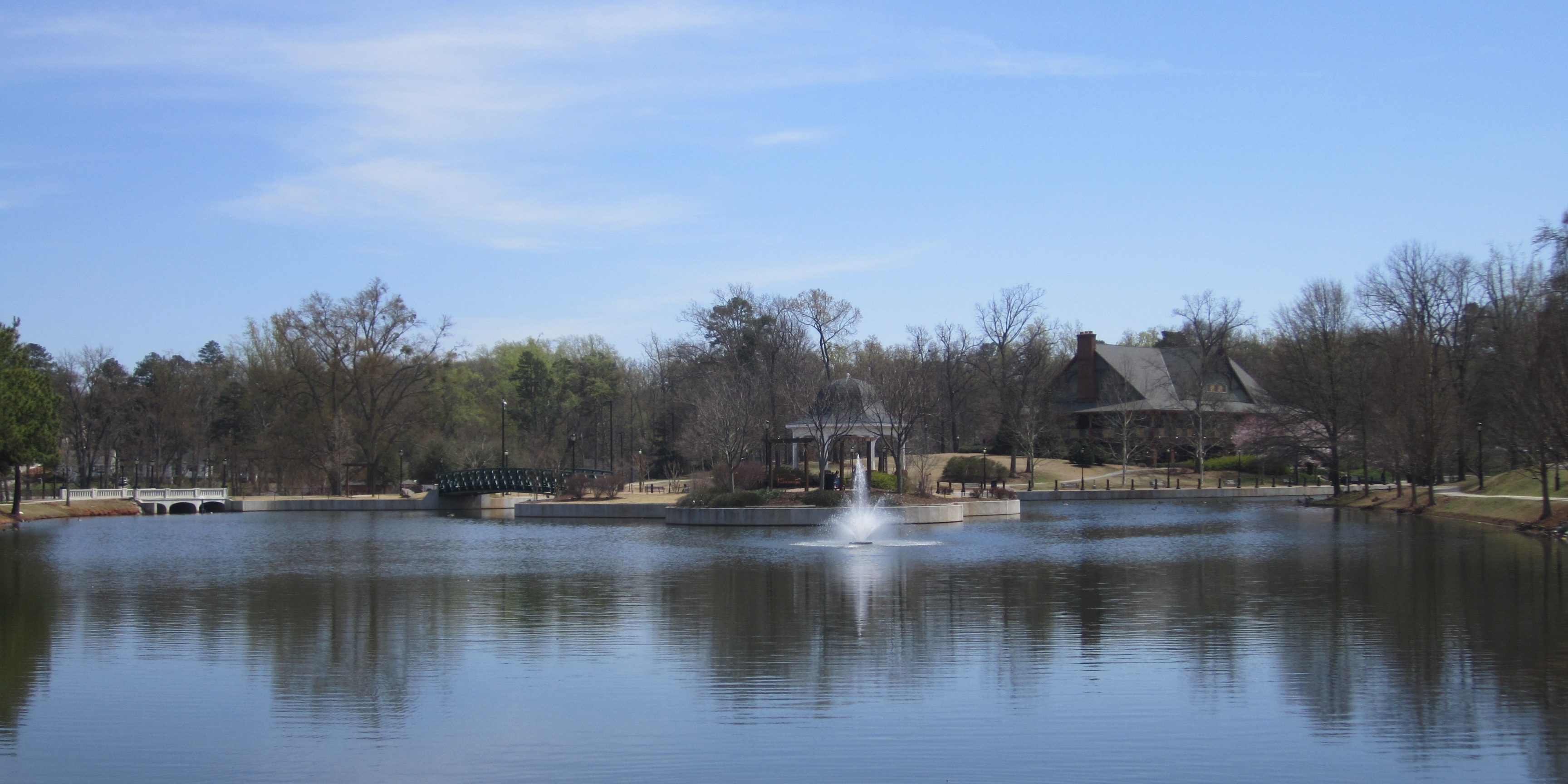
Cleveland Park Lake

Just hit the #gym. What a great way to end the #day and a good #workout. #Awesome #sunset

Lake Bowen Sunset
backlit sc swamp
Lake Bowen Sunset
Topographic Map of Johnson Hills Drive, Johnson Hills Dr, South Carolina, USA
Find elevation by address:

Places near Johnson Hills Drive, Johnson Hills Dr, South Carolina, USA:
Inman
190 State Rd S-42-2314
271 State Rd S-42-2314
321 State Rd S-42-371
Interstate 26
173 Settle Dr
310 Garnet Valley Rd
Garnet Valley Road
151 Gramling School Rd
134 Hickory Hill Dr
19 Nesbitt Dr
181 State Rd S-42-943
212 National Ave
355 Campobello-gramling School Rd
600 Campground Rd
155 N Woodfin Ridge Dr
381 Granny Doris Blvd
255 Scenic Ave
140 Wilkins Rd
215 S Woodfin Ridge Dr
Recent Searches:
- Elevation of Corso Fratelli Cairoli, 35, Macerata MC, Italy
- Elevation of Tallevast Rd, Sarasota, FL, USA
- Elevation of 4th St E, Sonoma, CA, USA
- Elevation of Black Hollow Rd, Pennsdale, PA, USA
- Elevation of Oakland Ave, Williamsport, PA, USA
- Elevation of Pedrógão Grande, Portugal
- Elevation of Klee Dr, Martinsburg, WV, USA
- Elevation of Via Roma, Pieranica CR, Italy
- Elevation of Tavkvetili Mountain, Georgia
- Elevation of Hartfords Bluff Cir, Mt Pleasant, SC, USA