Elevation of State Rd 21, Keystone Heights, FL, USA

Location: United States > Florida > Clay County > Keystone Heights >

Longitude: -81.917419

Latitude: 29.88204

Elevation: 48m / 157feet

Barometric Pressure: 101KPa

Elevation Map:

elevation map of State Rd 21, Keystone Heights, FL, USA

Satellite Map:

Satellite map of State Rd 21, Keystone Heights, FL, USA

Related Photos:

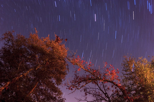
statepark longexposure night geotagged star astrophotography startrails zenitargroup goldheadbranch
Star Trails - Gold Head Branch State Park
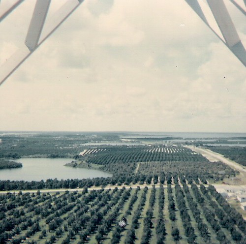
geolat297903 geolon820284 geotagged fire tower keystone florida view
From top of fire tower-June 1966
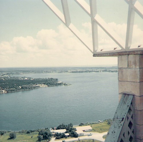
geolat297903 geolon820284 geotagged fire tower lake brooklyn view florida
Lake Brooklyn from atop fire tower
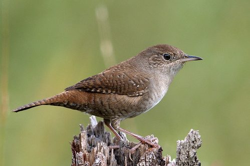
statepark tree birds fence october post florida bokeh stump wren claycounty 2015 housewren troglodytesaedon keystoneheights goldheadbranch
House Wren (Troglodytes aedon)
View from the Cabin
statepark brown bird birds florida rusty speckled thrasher brownthrasher claycounty toxostomarufum keystoneheights goldheadbranch loblollyloop
Brown Thrasher (Toxostoma rufum)
florida military navy plane starke unitedstates us
A-6 Intruder at Camp Blanding
florida military navy plane starke unitedstates us
A-7 Corsair Displayed at Camp Blanding
museum florida trench periscope campblanding
Camp Blanding - Trench Periscope
toys
Grandpa's toy room
noflash hipstamatic yuяi61lens rasputinfilm
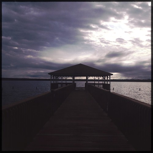
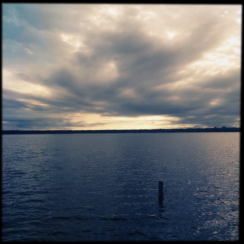
Sunset after storm
landscape plants nature flowers trees moss grass farms pennyfarms duval jacksonville florida lovefl clay barn tree dirt land rural leaves ground
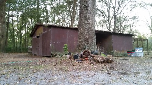
Barn Find
littlelakejohnson mikeroessgoldheadbranchstatepark
Little Lake Johnson, once part of Big Lake Johnson, Mike Roess Goldhead Branch State Park, Putnam County, Florida 1
noflash hipstamatic foxylens sugarfilm
Sunset after storm
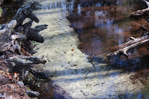
wild green nature water creek landscape woods stream florida hiking brook naturalbeauty northflorida goldheadbranchstatepark keystoneheights goldheadbranch springhunters
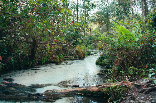
Gold Head Branch
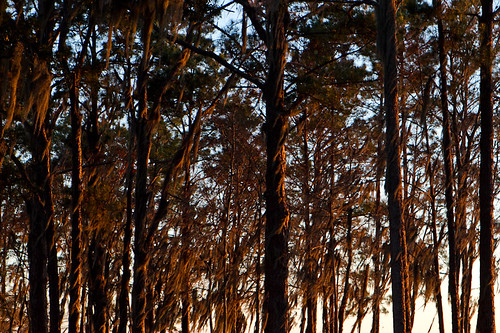
The sun setting on pines
eyefi
IMG_2171.JPG
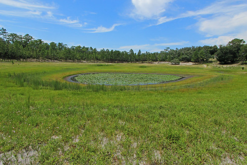
mikeroessgoldheadbranchstatepark depressionmarsh
Depression Marsh, once part of Big Lake Johnson, Mike Roess Goldhead Branch State Park, Putnam County, Florida 1
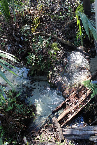
Devil's Washbasin
Dusk over Lake Kingsley
noflash hipstamatic yuяi61lens rasputinfilm
Sunset after storm
pebblelake mikeroessgoldheadbranchstatepark
Pebble Lake, Mike Roess Goldhead Branch State Park, Putnam County, Florida 2
eyefi
IMG_2222.JPG
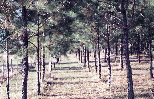
geolat298343 geolon819377 geotagged
Pine Forest-McRae, Florida
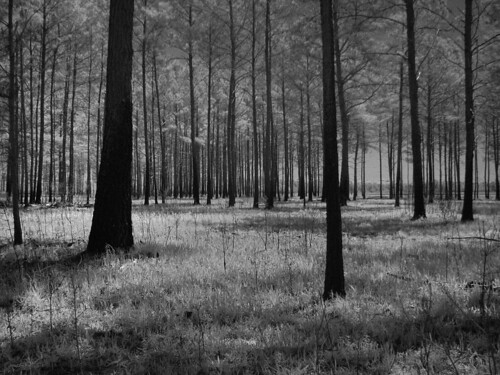
blackandwhite ir infrared hdr goldhead goldheadbranch
For the Trees
usa ga medical airnationalguard campblanding robinsairforcebase cerfp georgiaairguard georgiaairnationalguard
Operation Sunrise Rescue
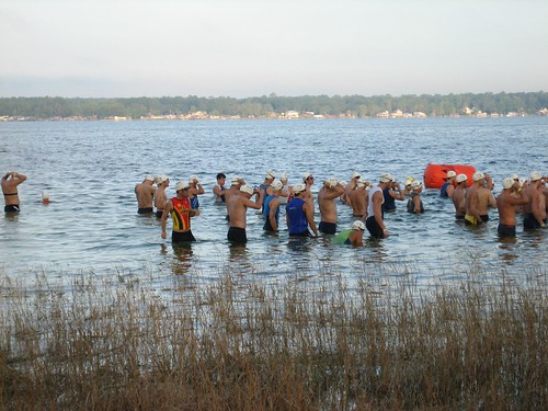
august 2006 endurance triathlon
060827_HOT 018
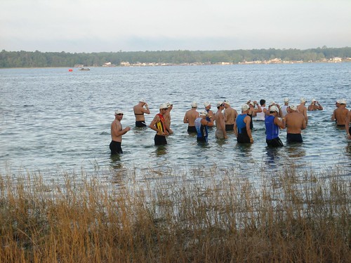
august 2006 endurance triathlon
060827_HOT 017
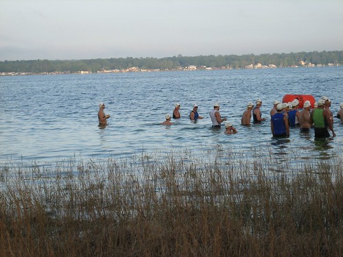
august 2006 endurance triathlon
060827_HOT 021
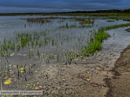
florida keystoneheights unitedstates
Lake Geneva On a Cloudy Morning
sunset usa water landscape dock florida campblanding yourcountry
Lake Kingsley ..