Elevation of State Line, NM, USA
Location: United States > New Mexico > Lea County >
Longitude: -103.06493
Latitude: 32.7267729
Elevation: 1093m / 3586feet
Barometric Pressure: 89KPa
Elevation Map:
Satellite Map:
Related Photos:

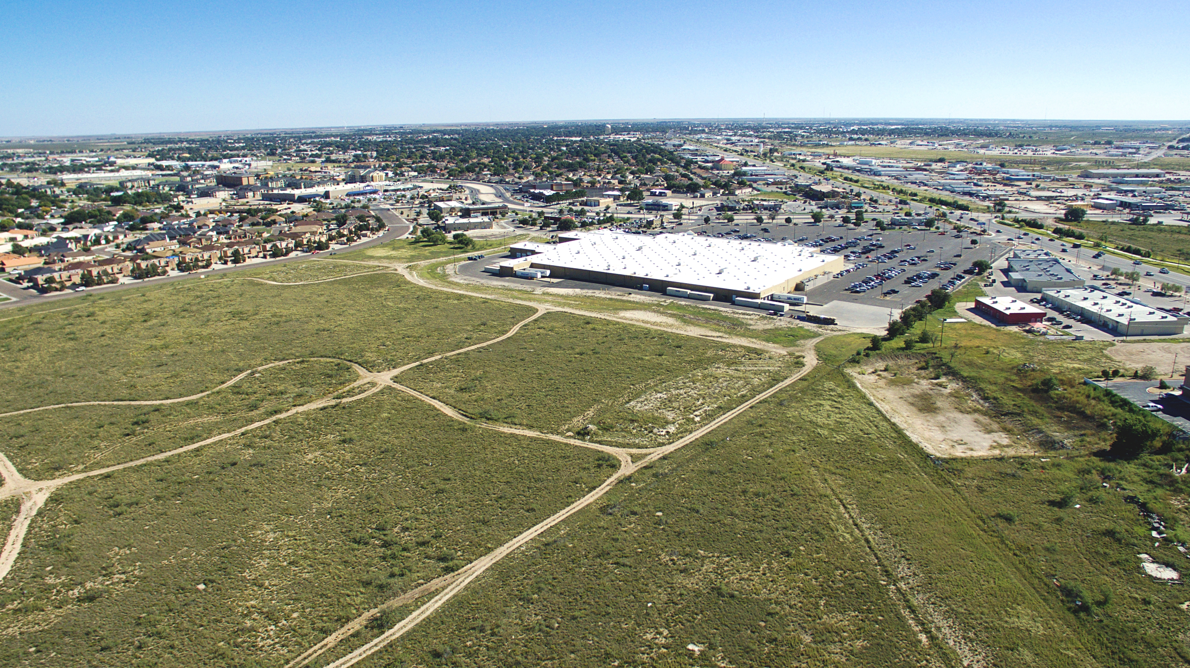
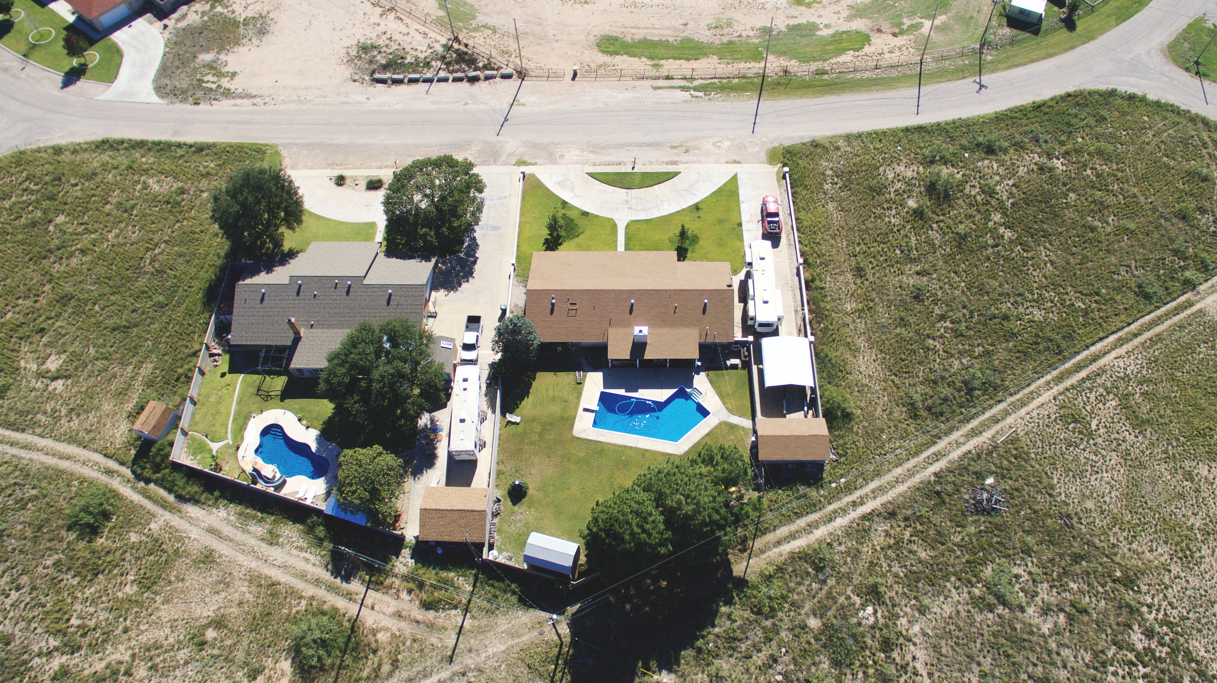
Holiday Inn - Hobbs, New Mexico
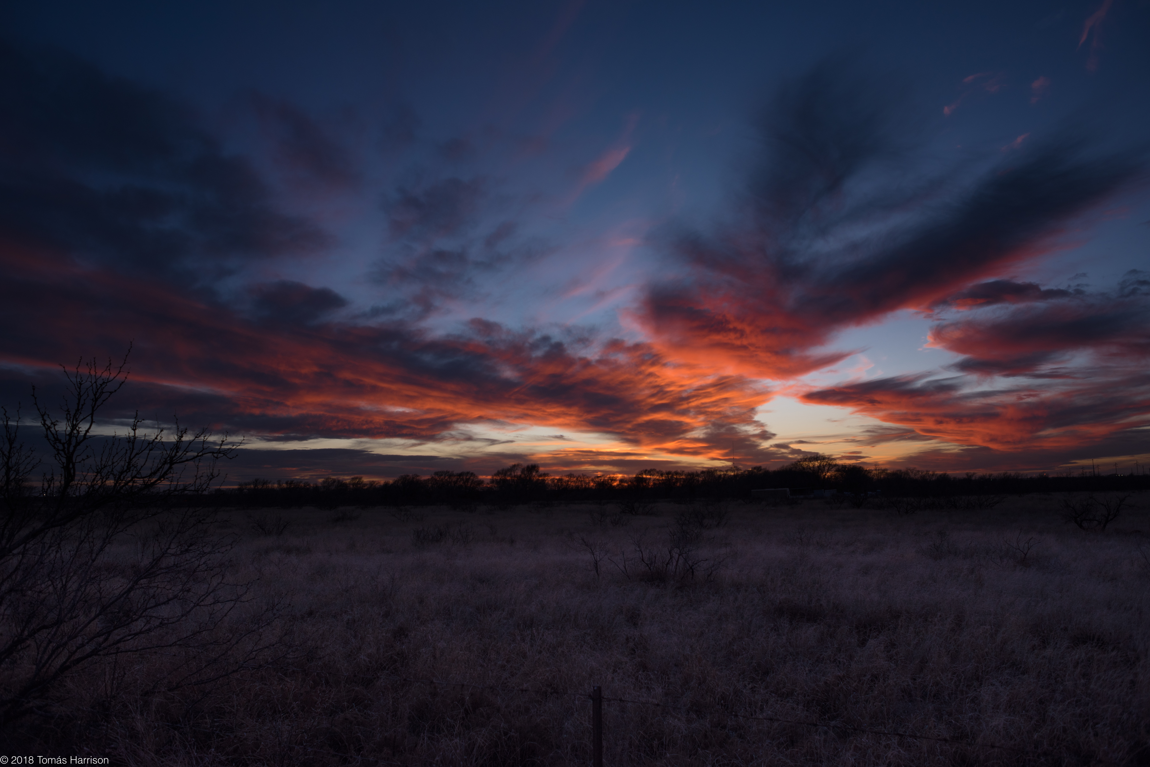
dying light

7/28/11 - 81/365
Green Meadow Lake in Hobbs,NM
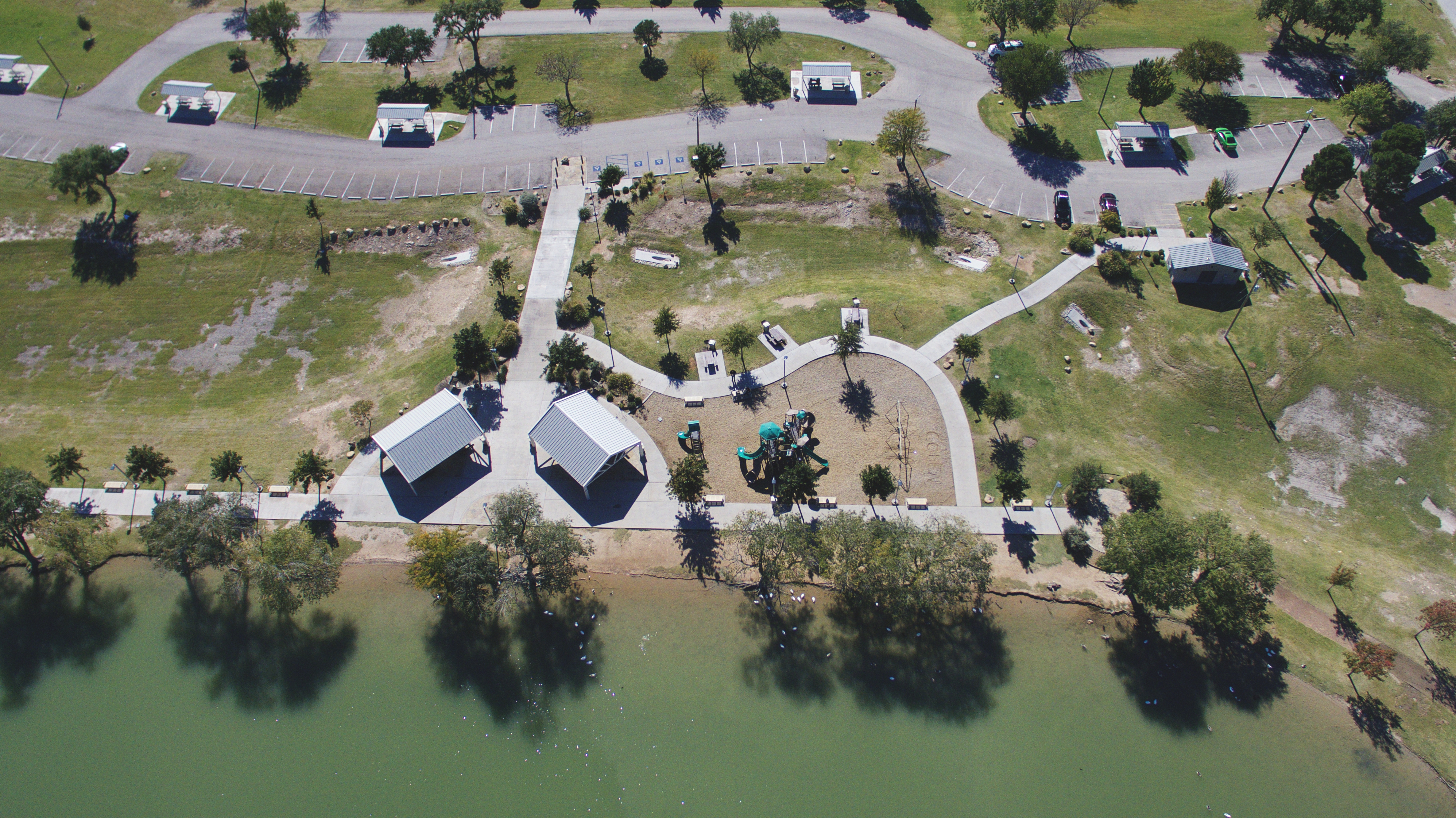
Green Meadow Lake in Hobbs,NM
Green Meadow Lake in Hobbs,NM
Green Meadow Lake in Hobbs,NM
Green Meadow Lake in Hobbs,NM
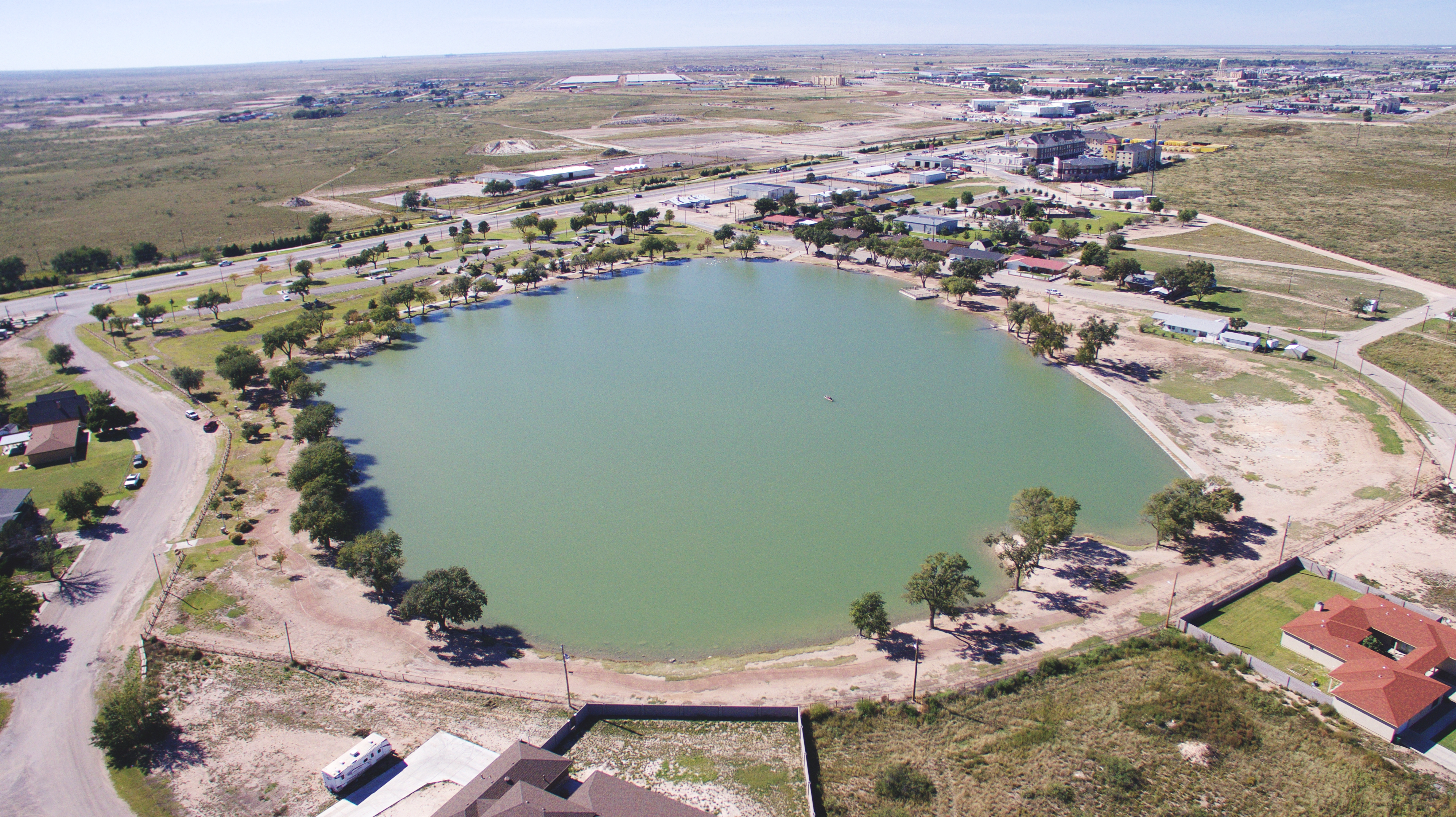
Green Meadow Lake in Hobbs,NM
Green Meadow Lake in Hobbs,NM
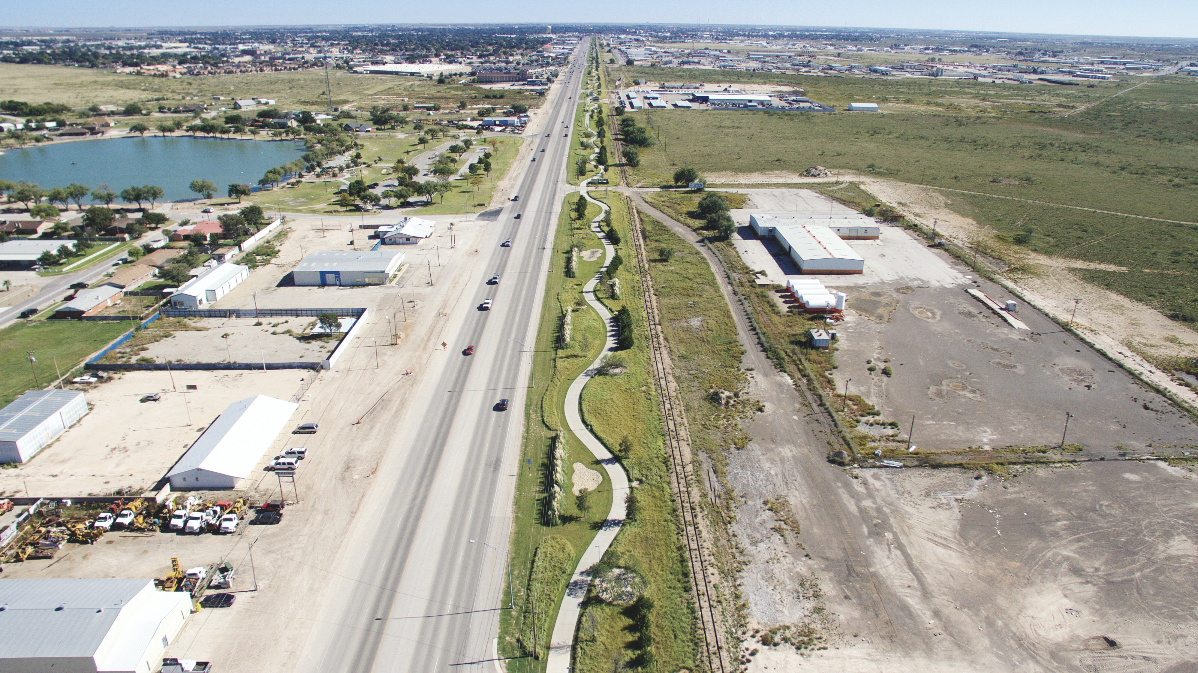
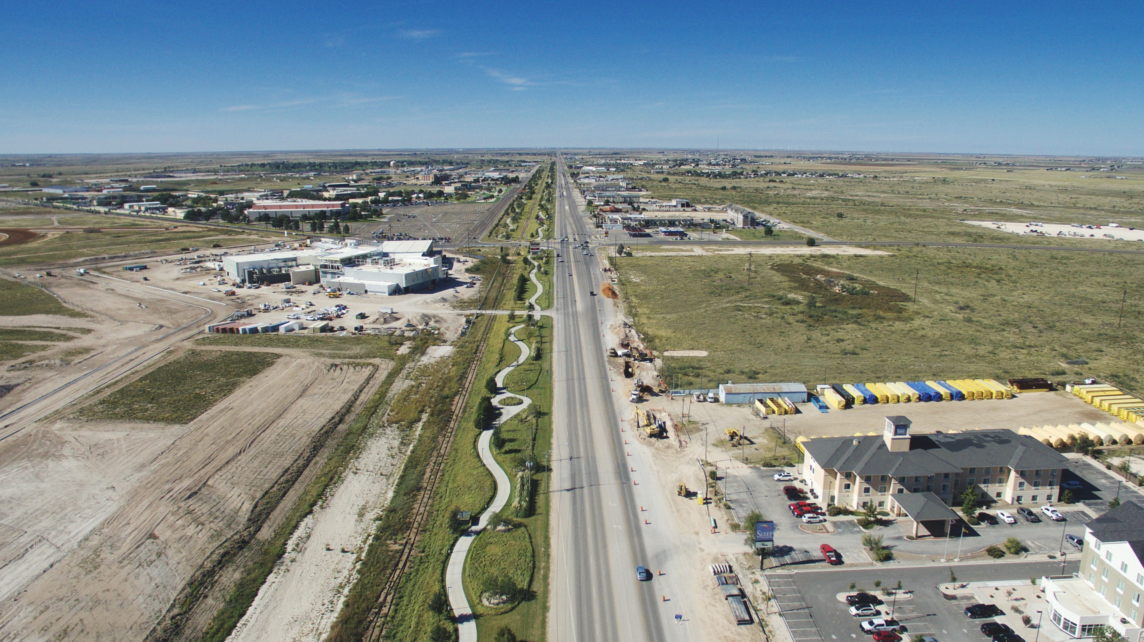
down town
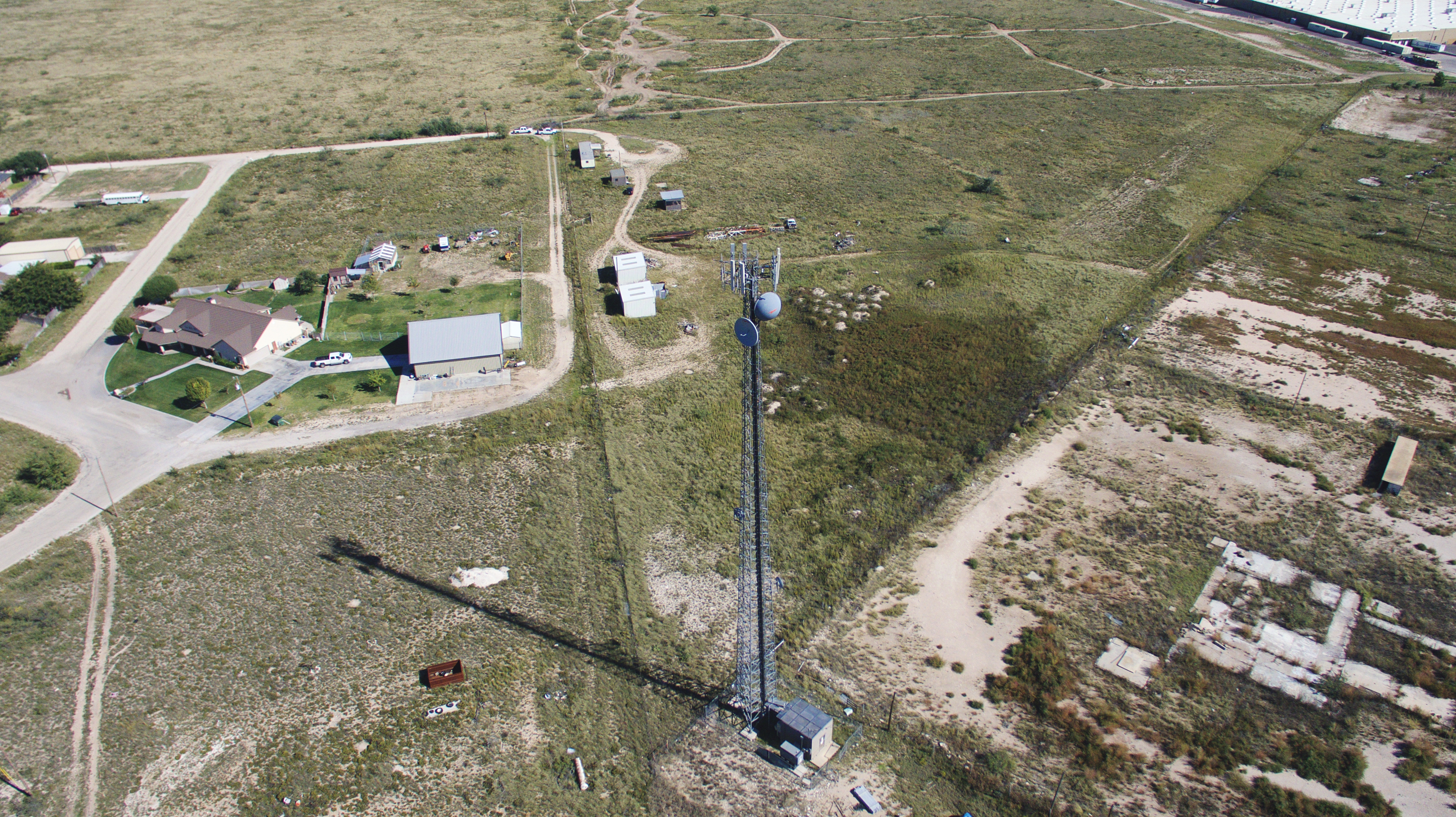
hobbs, nm backwards
Topographic Map of State Line, NM, USA
Find elevation by address:

Places near State Line, NM, USA:
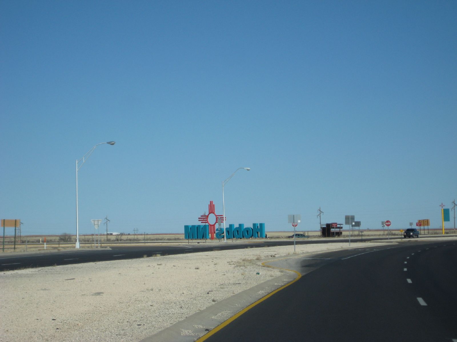
Hobbs
2309 W Lakeview Dr
Pilgrim Portable Builders
34 FM, Denver City, TX, USA
US-, Seminole, TX, USA
Eunice
Denver City
Lea County
2201 S Love St
Gaines County
Lovington
32 Pebble Rd, Lovington, NM, USA
Yoakum County
Plains
Cochran County
13657 Water Well
Bledsoe
Lovington Hwy, Loco Hills, NM, USA
Loco Hills
Caprock
Recent Searches:
- Elevation of Corso Fratelli Cairoli, 35, Macerata MC, Italy
- Elevation of Tallevast Rd, Sarasota, FL, USA
- Elevation of 4th St E, Sonoma, CA, USA
- Elevation of Black Hollow Rd, Pennsdale, PA, USA
- Elevation of Oakland Ave, Williamsport, PA, USA
- Elevation of Pedrógão Grande, Portugal
- Elevation of Klee Dr, Martinsburg, WV, USA
- Elevation of Via Roma, Pieranica CR, Italy
- Elevation of Tavkvetili Mountain, Georgia
- Elevation of Hartfords Bluff Cir, Mt Pleasant, SC, USA