Elevation of Gaines County, TX, USA
Location: United States > Texas >
Longitude: -102.71351
Latitude: 32.6987519
Elevation: 1017m / 3337feet
Barometric Pressure: 90KPa
Elevation Map:
Satellite Map:
Related Photos:

Suburbian Fantasy - My First Panoramic

Left, Gone, and Dead Within Minutes

Denver City Highway

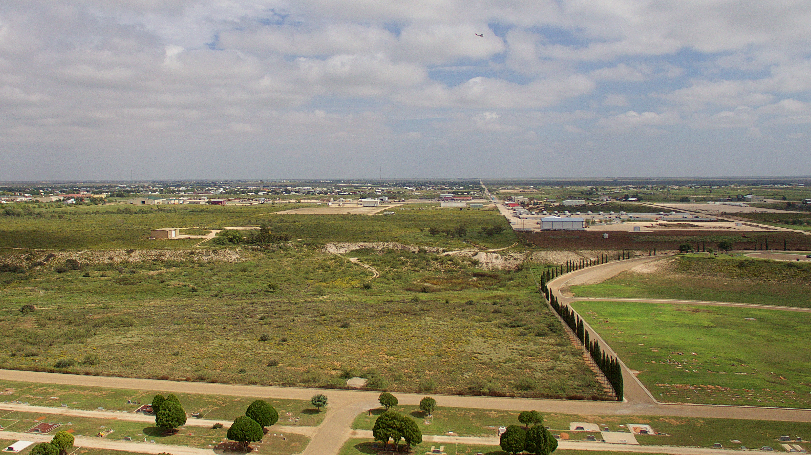
Drone Flying 10-5-17

Above.

Drone Flying 10-5-17

Drone Flying 10-5-17

Seminole Football Field

Football Field Water Tower
Drone Flying 10-5-17

Salvage Yard

Where Death May Lie

Seminole Chancellor Harris (53 of 79)

Seminole Chancellor Harris (54 of 79)

Seminole Chancellor Harris (51 of 79)

Seminole Chancellor Harris (55 of 79)
Topographic Map of Gaines County, TX, USA
Find elevation by address:

Places in Gaines County, TX, USA:
Places near Gaines County, TX, USA:
US-, Seminole, TX, USA
Pilgrim Portable Builders
Denver City
34 FM, Denver City, TX, USA
State Line
Hobbs
2309 W Lakeview Dr
Plains
Eunice
Yoakum County
2201 S Love St
Lea County
Lovington
32 Pebble Rd, Lovington, NM, USA
Cochran County
Bledsoe
FM, Morton, TX, USA
Morton
13657 Water Well
Caprock
Recent Searches:
- Elevation of Corso Fratelli Cairoli, 35, Macerata MC, Italy
- Elevation of Tallevast Rd, Sarasota, FL, USA
- Elevation of 4th St E, Sonoma, CA, USA
- Elevation of Black Hollow Rd, Pennsdale, PA, USA
- Elevation of Oakland Ave, Williamsport, PA, USA
- Elevation of Pedrógão Grande, Portugal
- Elevation of Klee Dr, Martinsburg, WV, USA
- Elevation of Via Roma, Pieranica CR, Italy
- Elevation of Tavkvetili Mountain, Georgia
- Elevation of Hartfords Bluff Cir, Mt Pleasant, SC, USA