Elevation of Lovington Hwy, Loco Hills, NM, USA
Location: United States > New Mexico > Eddy County > Loco Hills >
Longitude: -103.97786
Latitude: 32.8193879
Elevation: 1113m / 3652feet
Barometric Pressure: 89KPa
Elevation Map:
Satellite Map:
Related Photos:

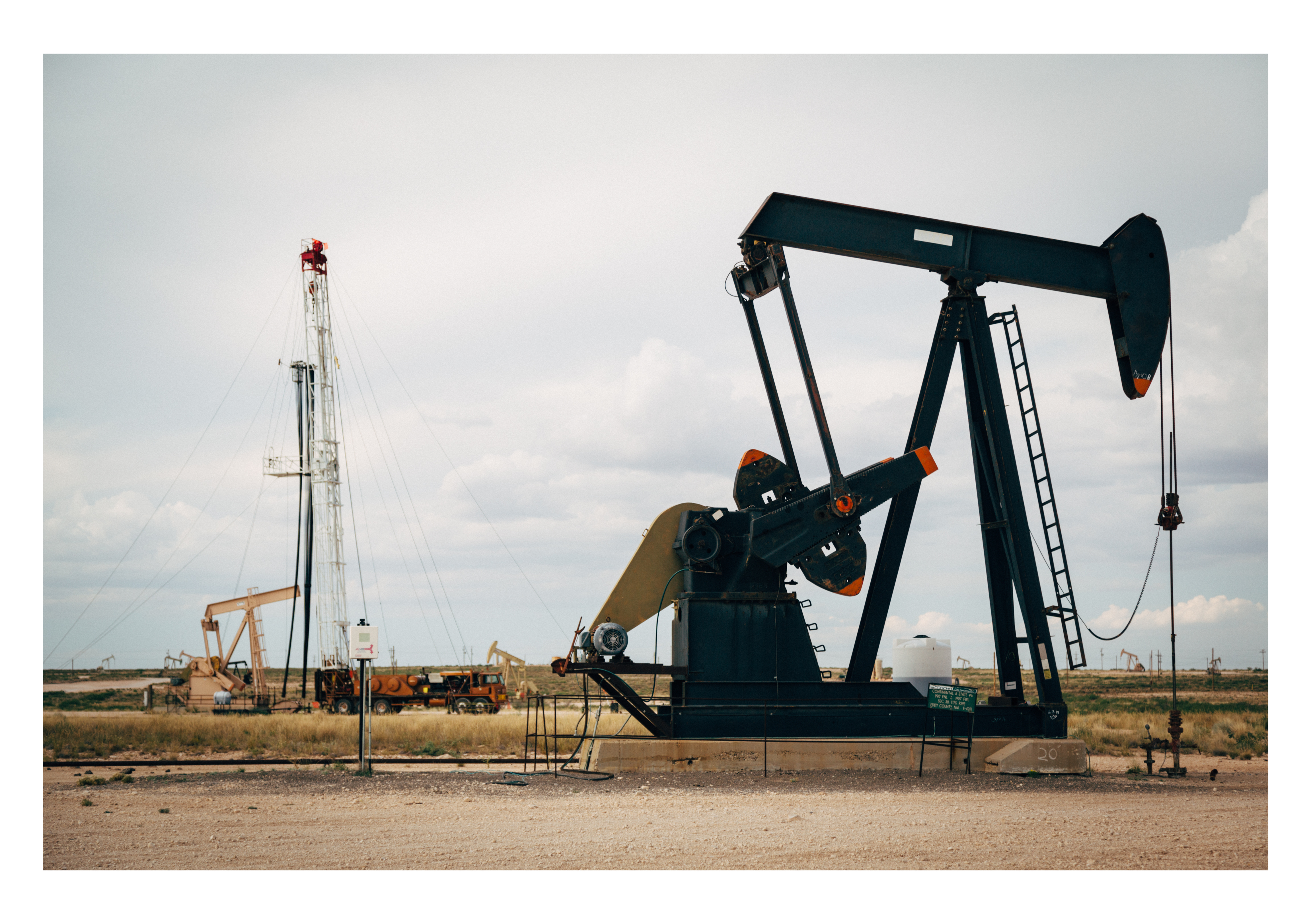
Loco Hills - Pump Jack Horizon

Loco Hills - Pumping Up the Black Gold
Oil Patch
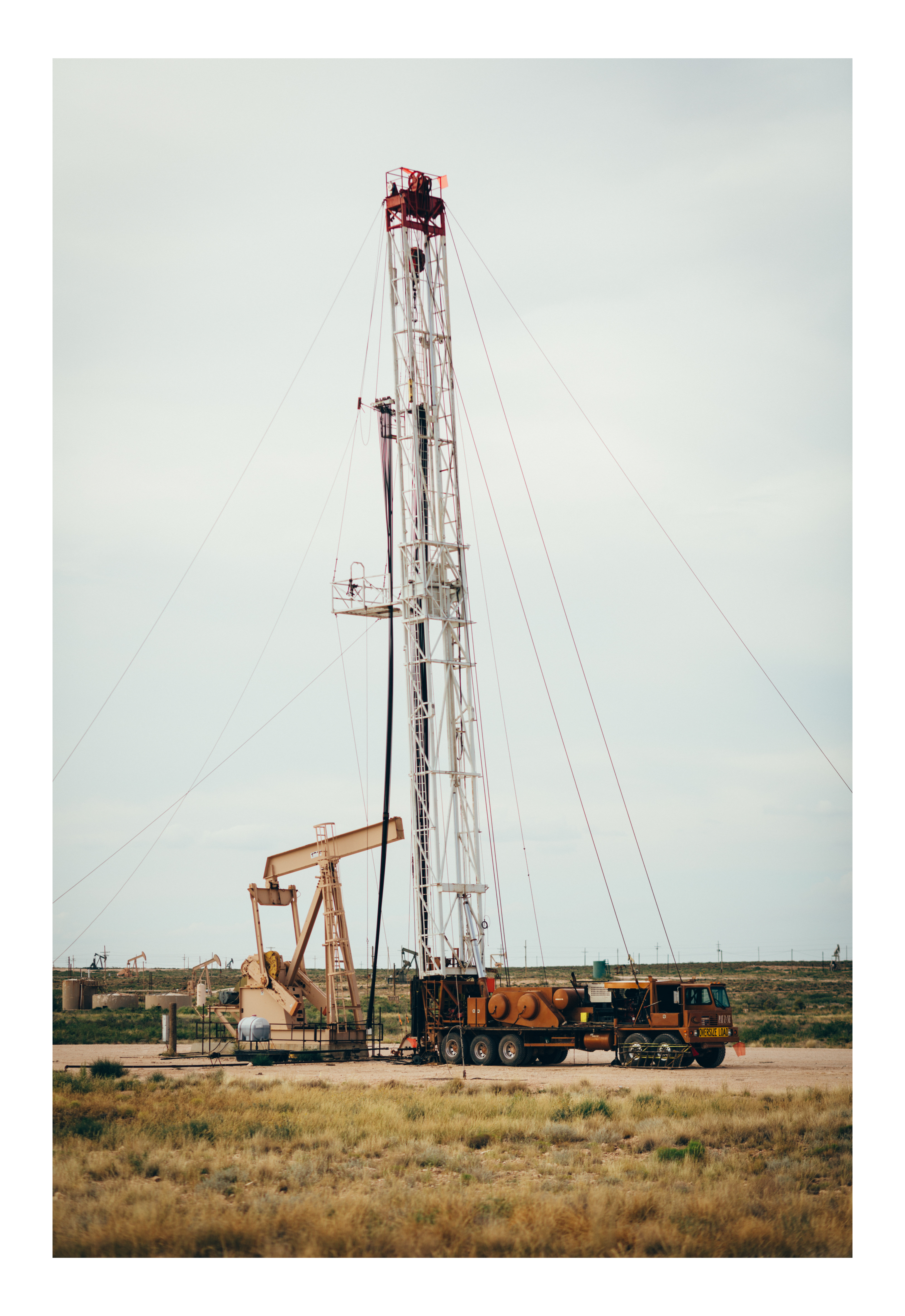
Workover Rig

Flare Off & Pumpjack
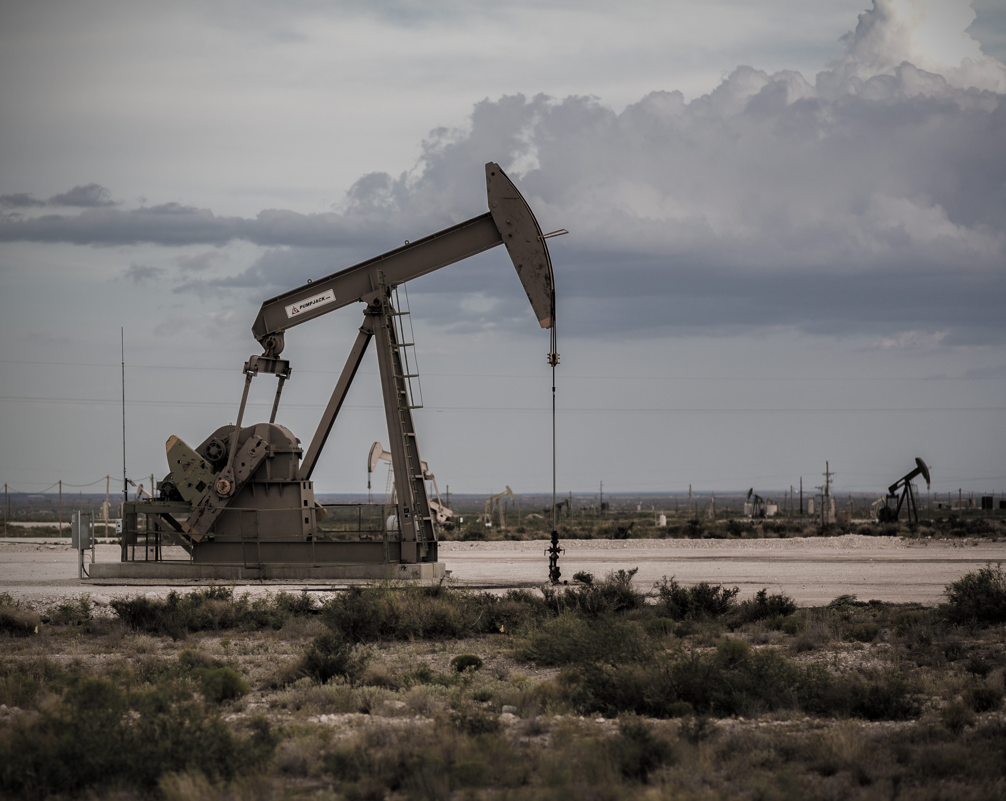
Permian Basin Pumpjack

Flare Off
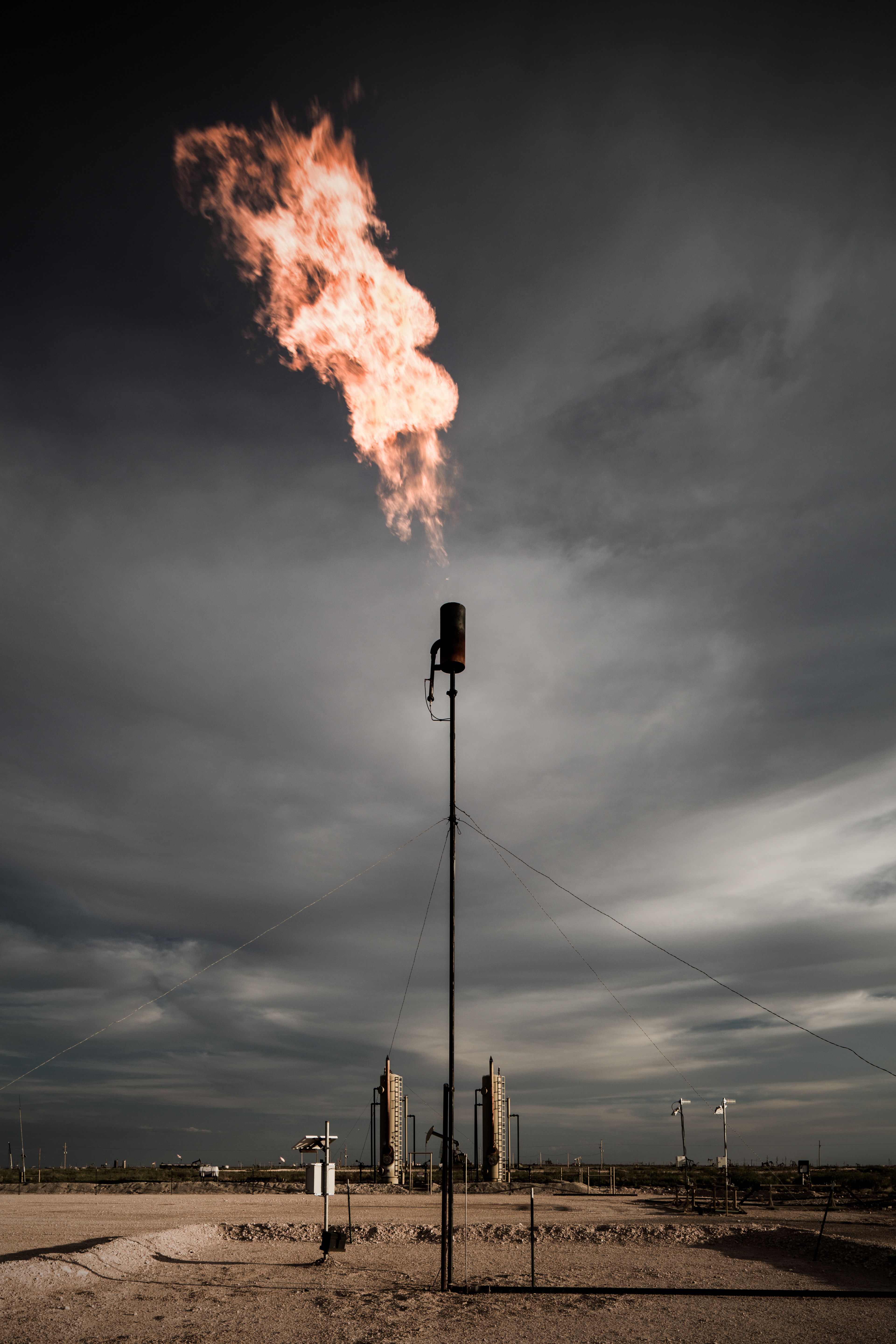
Gas Flare

Ranger Eppink (artist's rendition)

2010 365-328: Breakfast!
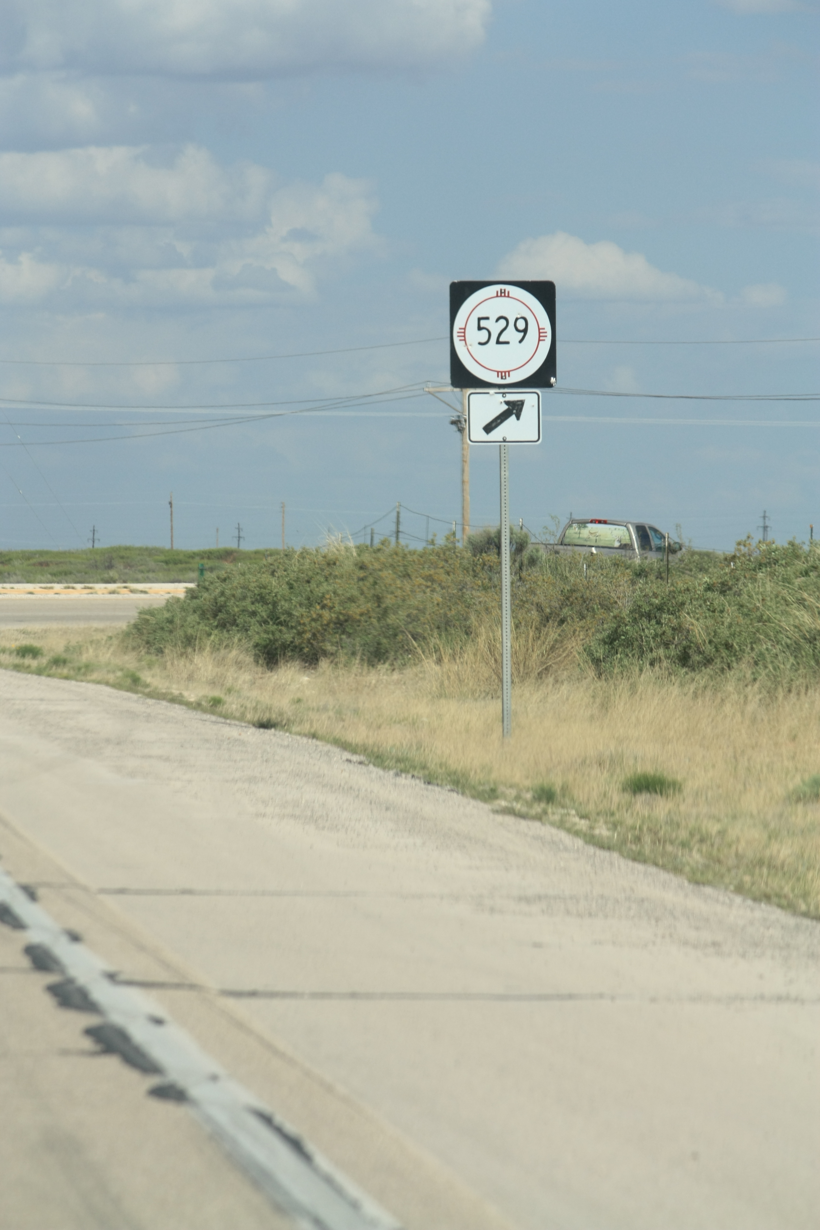
NM 529 shield
Topographic Map of Lovington Hwy, Loco Hills, NM, USA
Find elevation by address:

Places near Lovington Hwy, Loco Hills, NM, USA:
Loco Hills
Roswell, NM, USA
13657 Water Well
Mescalero Sands North Dune Ohv Area
Lea County
Caprock
2201 S Love St
Lovington
32 Pebble Rd, Lovington, NM, USA
2309 W Lakeview Dr
Hobbs
Eunice
State Line
34 FM, Denver City, TX, USA
Pilgrim Portable Builders
Yoakum County
Denver City
US-, Seminole, TX, USA
Plains
Bledsoe
Recent Searches:
- Elevation of Corso Fratelli Cairoli, 35, Macerata MC, Italy
- Elevation of Tallevast Rd, Sarasota, FL, USA
- Elevation of 4th St E, Sonoma, CA, USA
- Elevation of Black Hollow Rd, Pennsdale, PA, USA
- Elevation of Oakland Ave, Williamsport, PA, USA
- Elevation of Pedrógão Grande, Portugal
- Elevation of Klee Dr, Martinsburg, WV, USA
- Elevation of Via Roma, Pieranica CR, Italy
- Elevation of Tavkvetili Mountain, Georgia
- Elevation of Hartfords Bluff Cir, Mt Pleasant, SC, USA