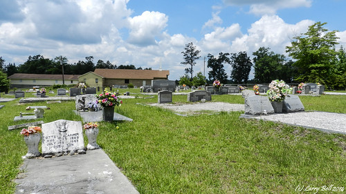
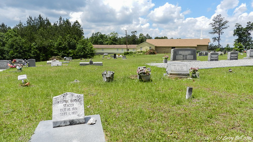
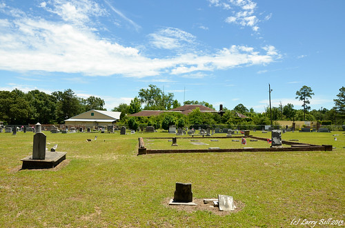
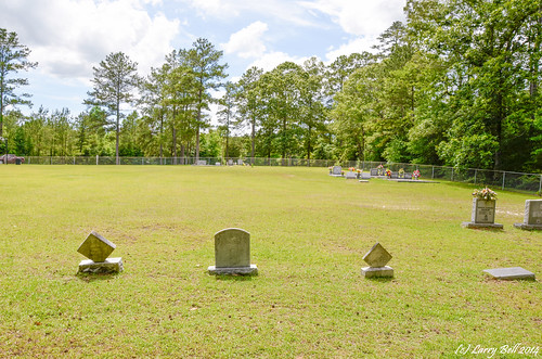
Elevation of State Line, MS, USA
Location: United States > Mississippi >
Longitude: -88.474465
Latitude: 31.4362794
Elevation: 78m / 256feet
Barometric Pressure: 100KPa
Related Photos:
Topographic Map of State Line, MS, USA
Find elevation by address:

Places near State Line, MS, USA:
Bunker St, Fruitdale, AL, USA
Main St, State Line, MS, USA
30 Magnolia St, Fruitdale, AL, USA
Fruitdale
Copeland Buckatunna Rd, Millry, AL, USA
545 Buckatunna Mt Zion Rd
Co Rd 5, Millry, AL, USA
AL-57, Fruitdale, AL, USA
3423 Dearmon Fork Rd
Fruitdale Ave, Vinegar Bend, AL, USA
US-45, Waynesboro, MS, USA
Barlow Rd, Millry, AL, USA
Vinegar Bend
Co Rd 34, Millry, AL, USA
Chatom
39 Central Ave, Chatom, AL, USA
Jordan St, Millry, AL, USA
7825 Al-17
Co Rd 8, Vinegar Bend, AL, USA
Tibbie
Recent Searches:
- Elevation of Corso Fratelli Cairoli, 35, Macerata MC, Italy
- Elevation of Tallevast Rd, Sarasota, FL, USA
- Elevation of 4th St E, Sonoma, CA, USA
- Elevation of Black Hollow Rd, Pennsdale, PA, USA
- Elevation of Oakland Ave, Williamsport, PA, USA
- Elevation of Pedrógão Grande, Portugal
- Elevation of Klee Dr, Martinsburg, WV, USA
- Elevation of Via Roma, Pieranica CR, Italy
- Elevation of Tavkvetili Mountain, Georgia
- Elevation of Hartfords Bluff Cir, Mt Pleasant, SC, USA
