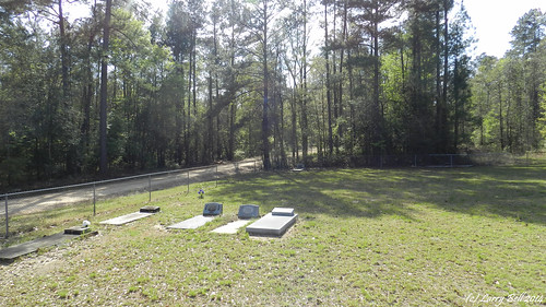
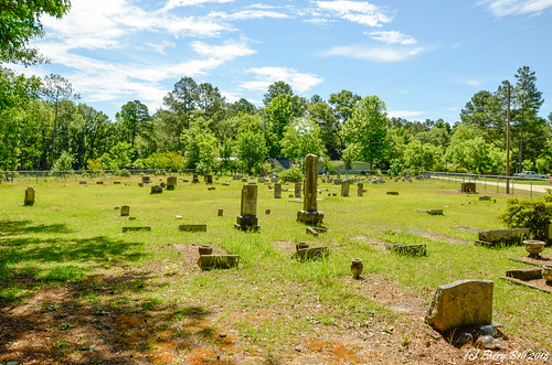
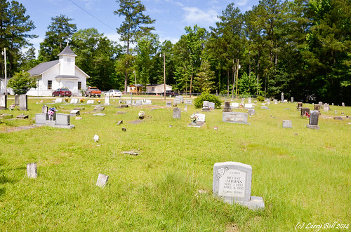
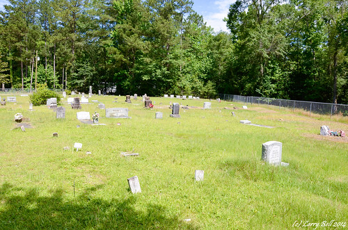
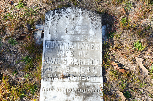
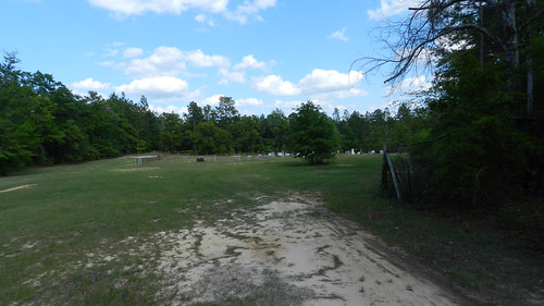
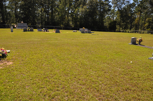
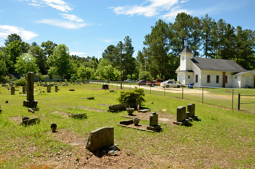
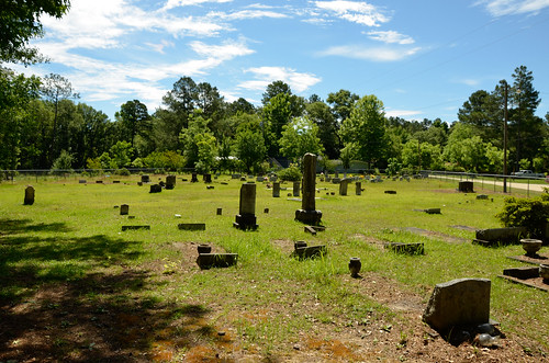
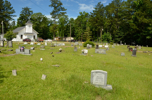
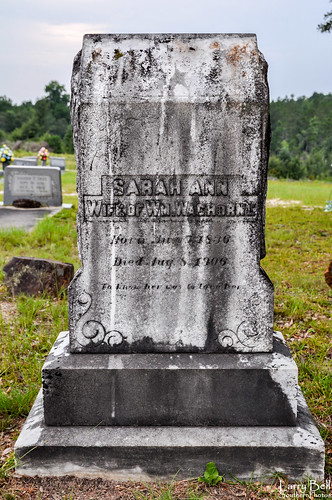
Elevation of AL-17, Deer Park, AL, USA
Location: United States > Alabama > Washington County > Deer Park >
Longitude: -88.257659
Latitude: 31.3435489
Elevation: 68m / 223feet
Barometric Pressure: 101KPa
Related Photos:
Topographic Map of AL-17, Deer Park, AL, USA
Find elevation by address:

Places near AL-17, Deer Park, AL, USA:
Washington County
Tibbie
Hawthorne Rd, Tibbie, AL, USA
AL-57, Fruitdale, AL, USA
Vinegar Bend
Chatom
39 Central Ave, Chatom, AL, USA
Charlie Bo Rd, McIntosh, AL, USA
Magnolia St, Deer Park, AL, USA
Deer Park
30 Magnolia St, Fruitdale, AL, USA
Fruitdale
196 Earlwood Rd
Co Rd 4, McIntosh, AL, USA
9951 Fairford Rd
Co Rd 8, Vinegar Bend, AL, USA
Bunker St, Fruitdale, AL, USA
Fruitdale Ave, Vinegar Bend, AL, USA
Bodie Carpenter Rd, Millry, AL, USA
11150 Billy Walker Rd
Recent Searches:
- Elevation of Corso Fratelli Cairoli, 35, Macerata MC, Italy
- Elevation of Tallevast Rd, Sarasota, FL, USA
- Elevation of 4th St E, Sonoma, CA, USA
- Elevation of Black Hollow Rd, Pennsdale, PA, USA
- Elevation of Oakland Ave, Williamsport, PA, USA
- Elevation of Pedrógão Grande, Portugal
- Elevation of Klee Dr, Martinsburg, WV, USA
- Elevation of Via Roma, Pieranica CR, Italy
- Elevation of Tavkvetili Mountain, Georgia
- Elevation of Hartfords Bluff Cir, Mt Pleasant, SC, USA
