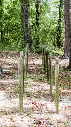
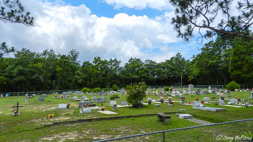
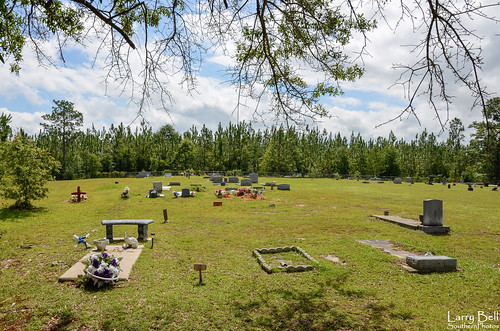
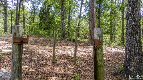
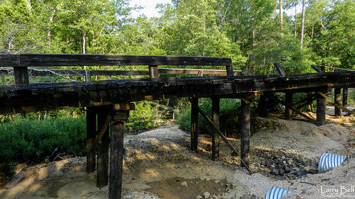
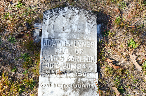
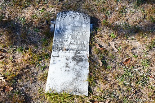
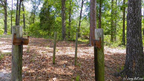
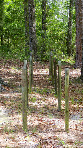
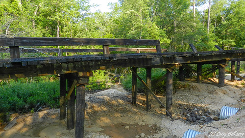
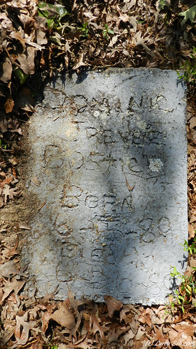
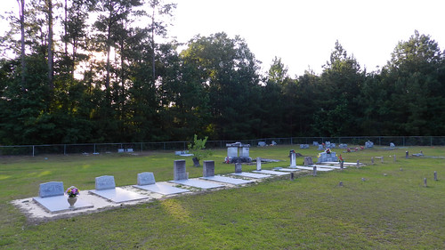
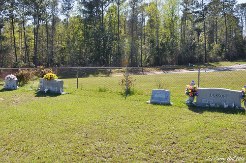
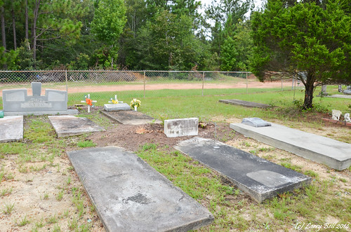
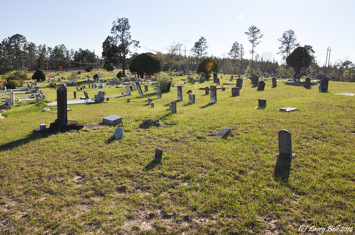
Elevation of Fairford Rd, McIntosh, AL, USA
Location: United States > Alabama > Washington County > Mcintosh >
Longitude: -88.143868
Latitude: 31.216264
Elevation: 25m / 82feet
Barometric Pressure: 101KPa
Related Photos:
Topographic Map of Fairford Rd, McIntosh, AL, USA
Find elevation by address:

Places near Fairford Rd, McIntosh, AL, USA:
Co Rd 4, McIntosh, AL, USA
Charlie Bo Rd, McIntosh, AL, USA
3960 Coy Smith Hwy
Mcintosh
Citronelle
Citronella Inn
Hawthorne Rd, Tibbie, AL, USA
Washington County
Jefferson Davis Hwy, Wagarville, AL, USA
8810 Turner Dr
Magnolia St, Deer Park, AL, USA
Deer Park
7825 Al-17
Lambert Cemetery Rd, Citronelle, AL, USA
Tibbie
S 3rd St, Citronelle, AL, USA
Mount Vernon
11150 Billy Walker Rd
US-43, Mt Vernon, AL, USA
10280 Shepard Lake Rd S
Recent Searches:
- Elevation of Corso Fratelli Cairoli, 35, Macerata MC, Italy
- Elevation of Tallevast Rd, Sarasota, FL, USA
- Elevation of 4th St E, Sonoma, CA, USA
- Elevation of Black Hollow Rd, Pennsdale, PA, USA
- Elevation of Oakland Ave, Williamsport, PA, USA
- Elevation of Pedrógão Grande, Portugal
- Elevation of Klee Dr, Martinsburg, WV, USA
- Elevation of Via Roma, Pieranica CR, Italy
- Elevation of Tavkvetili Mountain, Georgia
- Elevation of Hartfords Bluff Cir, Mt Pleasant, SC, USA
