Elevation of Jefferson Davis Hwy, Wagarville, AL, USA
Location: United States > Alabama > Washington County > Wagarville >
Longitude: -88.031323
Latitude: 31.3409664
Elevation: 10m / 33feet
Barometric Pressure: 101KPa
Elevation Map:
Satellite Map:
Related Photos:
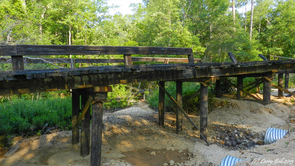
DSCN1495.jpg
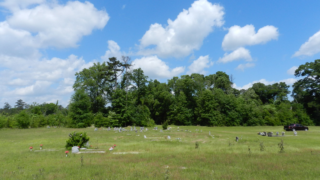
DSCN4294.jpg
DSC_0235.jpg
DSC_0649.jpg
DSCN1857.jpg
20161002_102401-Pano-Edit
DSCN4290.jpg
DSCN3023.jpg
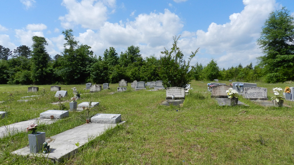
DSCN1878.jpg
DSC_5780.jpg

DSC_5779.jpg
DSCN4294.jpg
DSCN4290.jpg
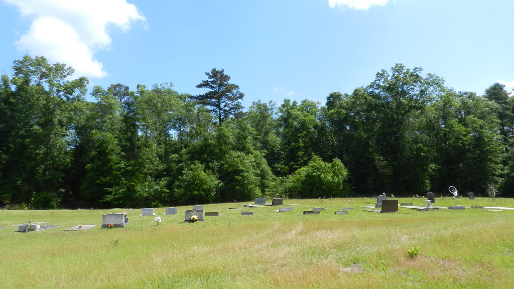
DSCN3023.jpg
DSCN4009.jpg

DSCN4003.jpg

DSCN4000.jpg
DSCN3983.jpg
DSCN3959.jpg
DSCN3958.jpg
DSCN3956.jpg
Topographic Map of Jefferson Davis Hwy, Wagarville, AL, USA
Find elevation by address:

Places near Jefferson Davis Hwy, Wagarville, AL, USA:
Sunflower Rd, Wagarville, AL, USA
Mcintosh
Co Rd 6, Wagarville, AL, USA
Wagarville
Charlie Bo Rd, McIntosh, AL, USA
225 Mama Lou Rd
Co Rd 4, McIntosh, AL, USA
9951 Fairford Rd
Rockville Rd, Jackson, AL, USA
Hawthorne Rd, Tibbie, AL, USA
Co Rd 34, St Stephens, AL, USA
Saint Stephens
Washington County
Commerce St, Jackson, AL, USA
Jackson
Tibbie
2167 Us-43
316 Fairview Cir
7825 Al-17
3960 Coy Smith Hwy
Recent Searches:
- Elevation of Corso Fratelli Cairoli, 35, Macerata MC, Italy
- Elevation of Tallevast Rd, Sarasota, FL, USA
- Elevation of 4th St E, Sonoma, CA, USA
- Elevation of Black Hollow Rd, Pennsdale, PA, USA
- Elevation of Oakland Ave, Williamsport, PA, USA
- Elevation of Pedrógão Grande, Portugal
- Elevation of Klee Dr, Martinsburg, WV, USA
- Elevation of Via Roma, Pieranica CR, Italy
- Elevation of Tavkvetili Mountain, Georgia
- Elevation of Hartfords Bluff Cir, Mt Pleasant, SC, USA