Elevation of Fruitdale Ave, Vinegar Bend, AL, USA
Location: United States > Alabama > Washington County > Vinegar Bend >
Longitude: -88.427586
Latitude: 31.2618605
Elevation: 89m / 292feet
Barometric Pressure: 100KPa
Elevation Map:
Satellite Map:
Related Photos:
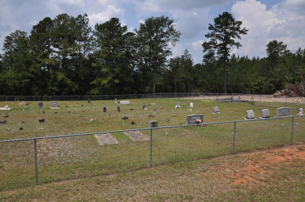
DSC_9167.jpg

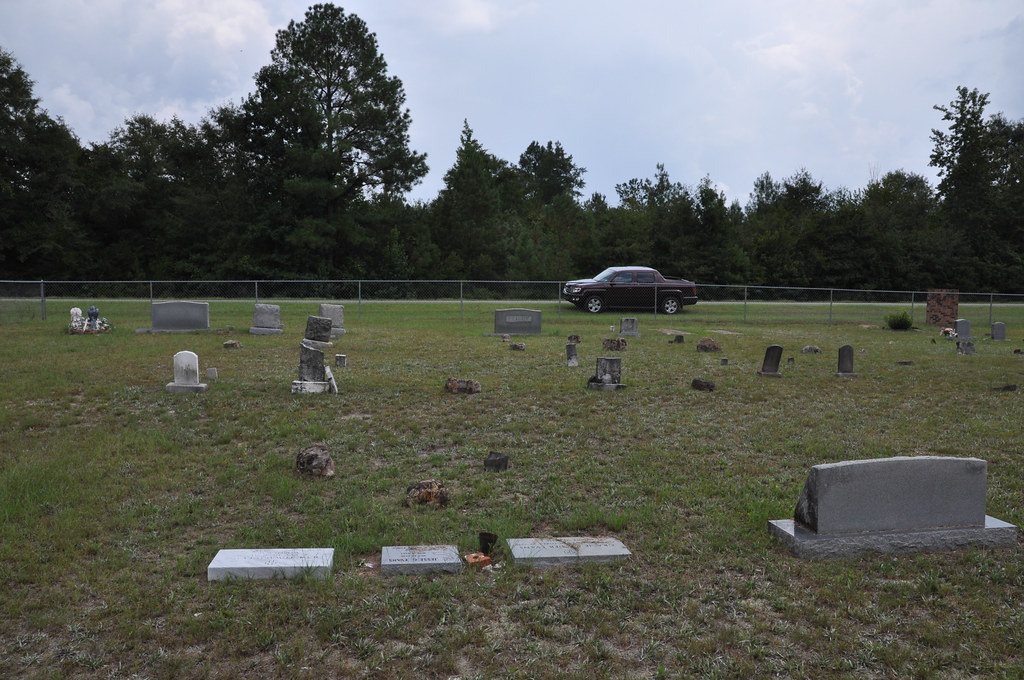
DSC_9207.jpg
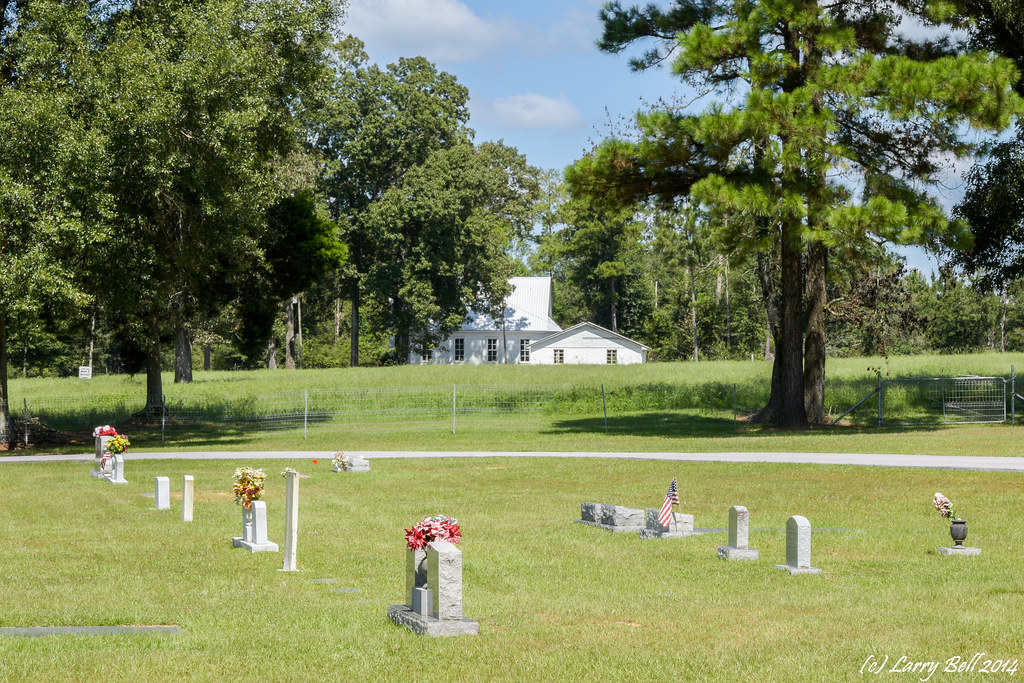
DSC_0600.jpg
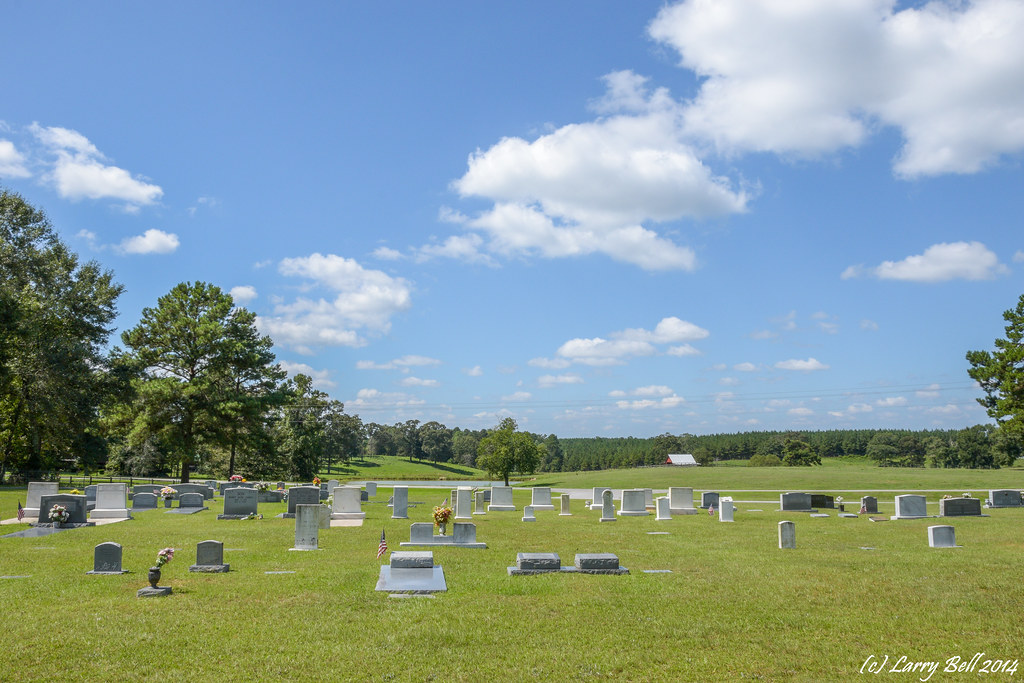
DSC_7820.jpg

DSC_0423.jpg
DSC_7802.jpg
DSC_7842.jpg
DSC_7851.jpg

DSC_0601.jpg

DSC_0599.jpg

DSC_0598.jpg
DSC_0596.jpg
DSC_0594.jpg

DSC_0593.jpg
DSC_0592.jpg
DSC_0590.jpg

DSC_0589.jpg
DSC_0465.jpg
DSC_0422.jpg
DSC_0421.jpg

_DSC0049.jpg
Topographic Map of Fruitdale Ave, Vinegar Bend, AL, USA
Find elevation by address:

Places near Fruitdale Ave, Vinegar Bend, AL, USA:
Co Rd 8, Vinegar Bend, AL, USA
AL-57, Fruitdale, AL, USA
Vinegar Bend
Fruitdale
30 Magnolia St, Fruitdale, AL, USA
196 Earlwood Rd
Magnolia St, Deer Park, AL, USA
Deer Park
Bunker St, Fruitdale, AL, USA
11150 Billy Walker Rd
State Line
7825 Al-17
Brown Blankinchip Rd, Citronelle, AL, USA
Washington County
Tibbie
Hawthorne Rd, Tibbie, AL, USA
8810 Turner Dr
Main St, State Line, MS, USA
Citronelle
Citronella Inn
Recent Searches:
- Elevation of Corso Fratelli Cairoli, 35, Macerata MC, Italy
- Elevation of Tallevast Rd, Sarasota, FL, USA
- Elevation of 4th St E, Sonoma, CA, USA
- Elevation of Black Hollow Rd, Pennsdale, PA, USA
- Elevation of Oakland Ave, Williamsport, PA, USA
- Elevation of Pedrógão Grande, Portugal
- Elevation of Klee Dr, Martinsburg, WV, USA
- Elevation of Via Roma, Pieranica CR, Italy
- Elevation of Tavkvetili Mountain, Georgia
- Elevation of Hartfords Bluff Cir, Mt Pleasant, SC, USA