Elevation of State Hwy F, Cardwell, MO, USA
Location: United States > Missouri > Dunklin County > Buffalo Township > Cardwell >
Longitude: -90.338118
Latitude: 36.0097796
Elevation: 72m / 236feet
Barometric Pressure: 100KPa
Elevation Map:
Satellite Map:
Related Photos:
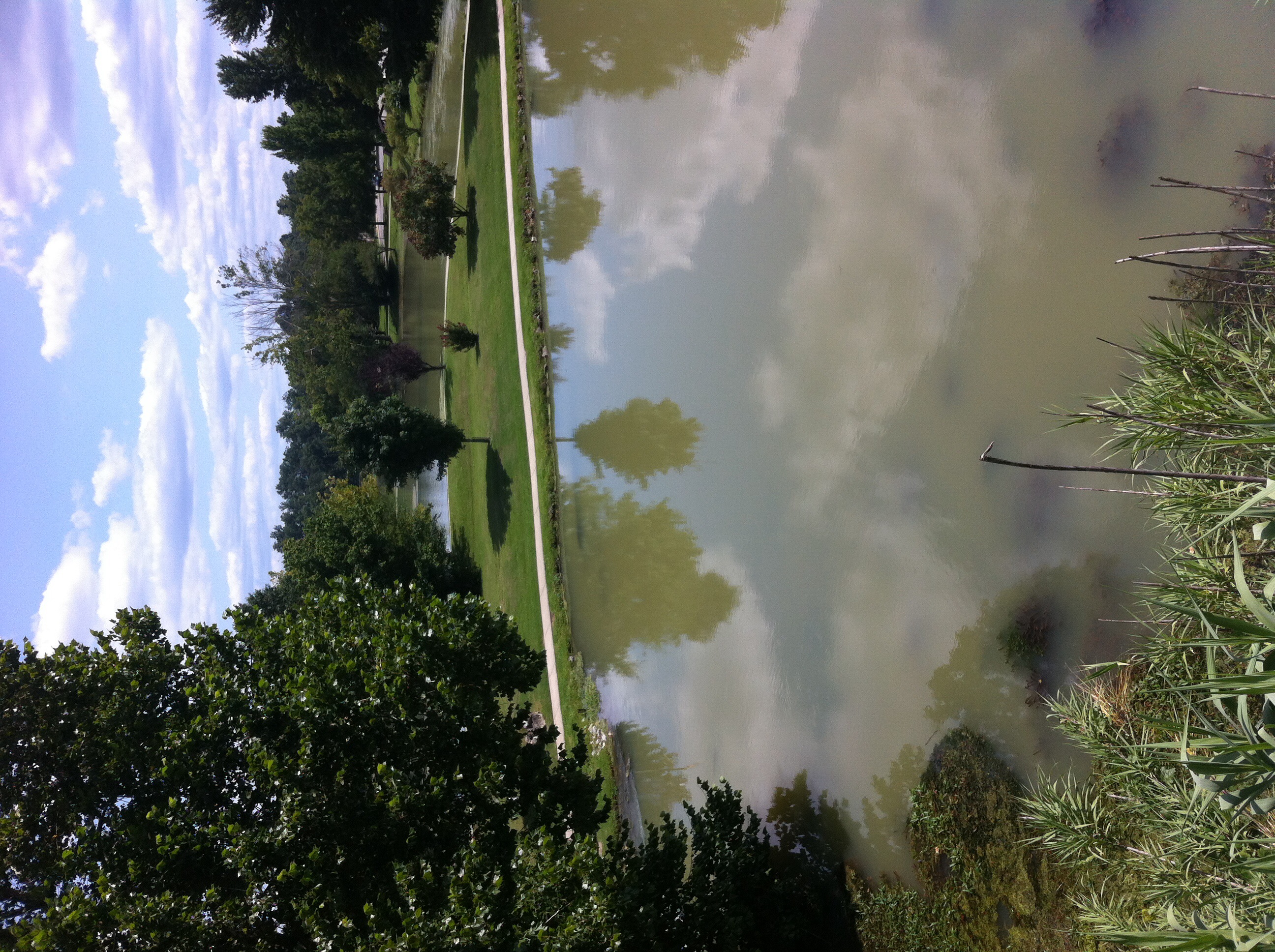
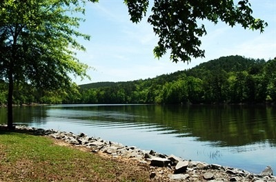
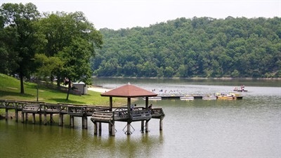
Patchfinder 10/4
Patchfinder 10/4

Patchfinder 10/4

Patchfinder 10/4
Patchfinder 10/4

Patchfinder 10/4

Patchfinder 10/4
Patchfinder 10/4
Patchfinder 10/4
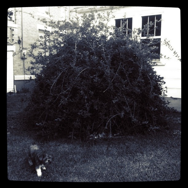
Big bush || #zoepup #dome #bush...
Patchfinder 10/4
Patchfinder 10/4
Patchfinder 10/4
Patchfinder 10/4
Patchfinder 10/4
Topographic Map of State Hwy F, Cardwell, MO, USA
Find elevation by address:

Places near State Hwy F, Cardwell, MO, USA:
Cardwell
E Poole St, Cardwell, MO, USA
Buffalo Township
CR, Brookland Township, AR, USA
Leachville
E 3rd St, Leachville, AR, USA
W Drew Ave, Monette, AR, USA
Monette
304 S 16th Ave
AR-18, Leachville, AR, USA
Neal Township
State Hwy, Lake City, AR, USA
N Co Rd 17, Leachville, AR, USA
US 49, Marmaduke, AR, USA
Wonder Pool Co - Inground Pool Kits
Lester Township
120 W Court St
Clark Township
3162 Greene Rd 514
3162 Greene Rd 514
Recent Searches:
- Elevation of Corso Fratelli Cairoli, 35, Macerata MC, Italy
- Elevation of Tallevast Rd, Sarasota, FL, USA
- Elevation of 4th St E, Sonoma, CA, USA
- Elevation of Black Hollow Rd, Pennsdale, PA, USA
- Elevation of Oakland Ave, Williamsport, PA, USA
- Elevation of Pedrógão Grande, Portugal
- Elevation of Klee Dr, Martinsburg, WV, USA
- Elevation of Via Roma, Pieranica CR, Italy
- Elevation of Tavkvetili Mountain, Georgia
- Elevation of Hartfords Bluff Cir, Mt Pleasant, SC, USA