Elevation of Stagecoach Road, Stagecoach Rd, Acton, ME, USA
Location: United States > Maine > York County > Acton >
Longitude: -70.939383
Latitude: 43.5174735
Elevation: 261m / 856feet
Barometric Pressure: 98KPa
Elevation Map:
Satellite Map:
Related Photos:
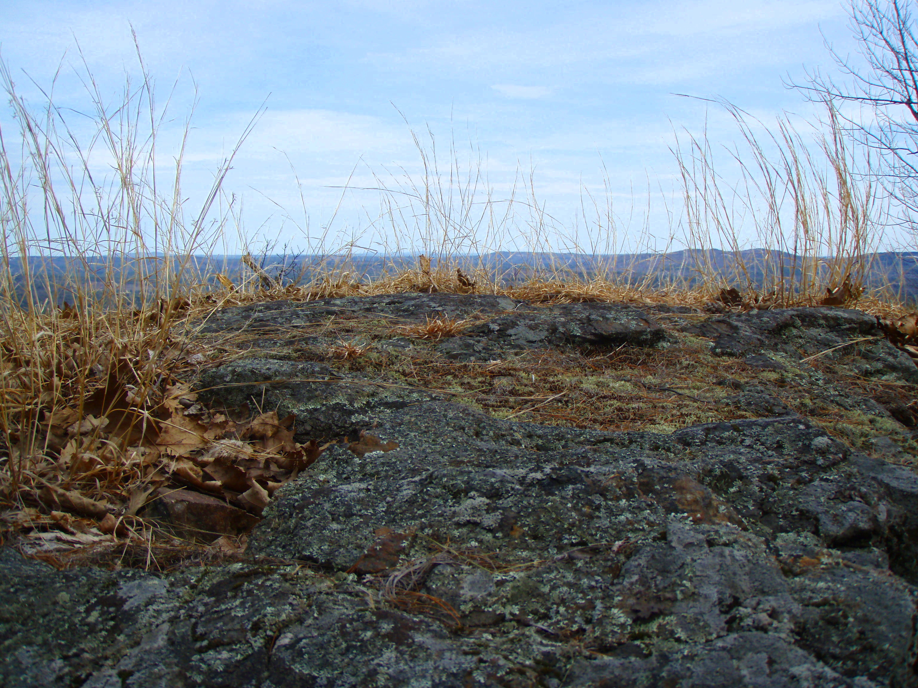
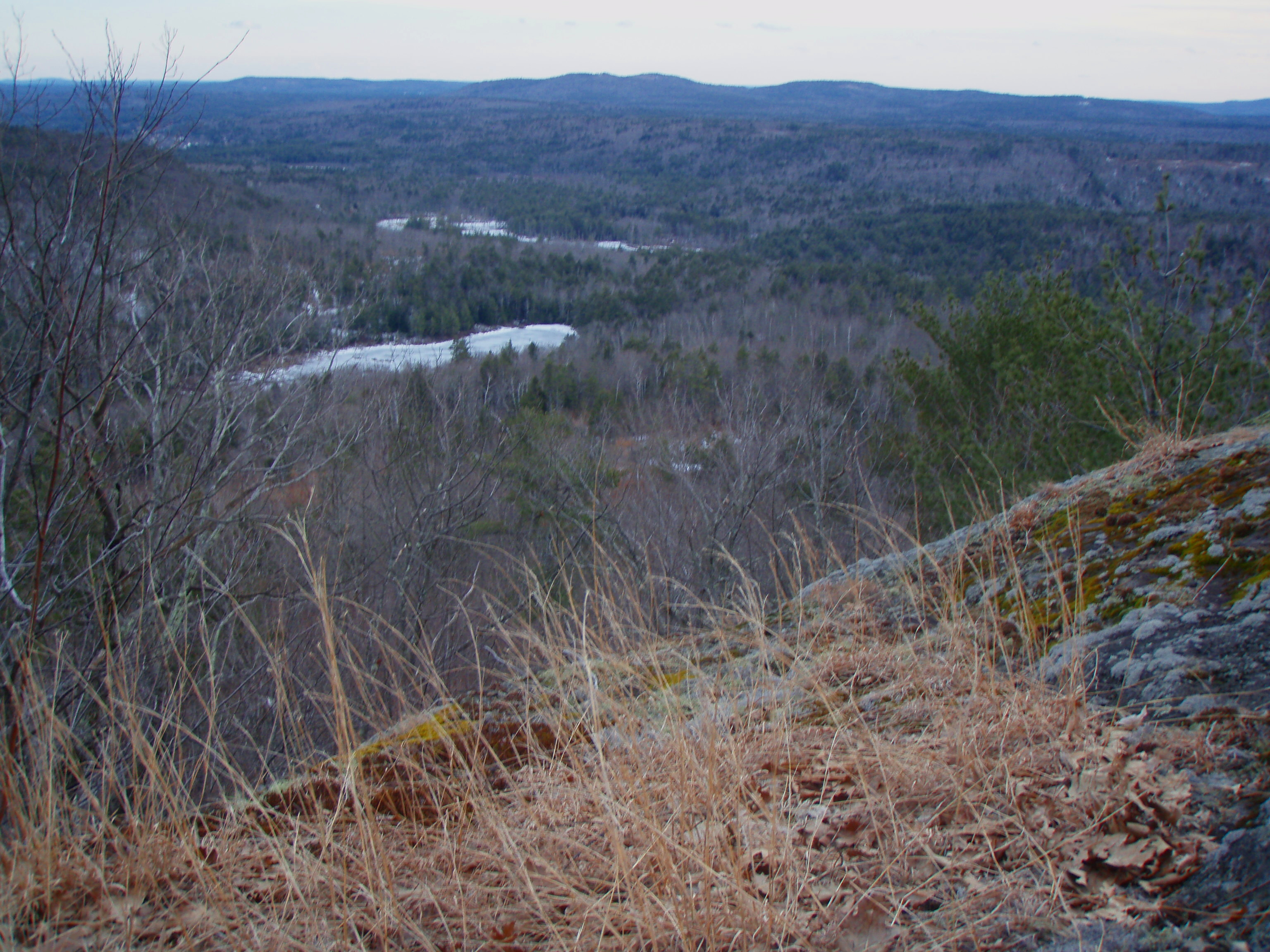
Phoebes Nable Mt. view
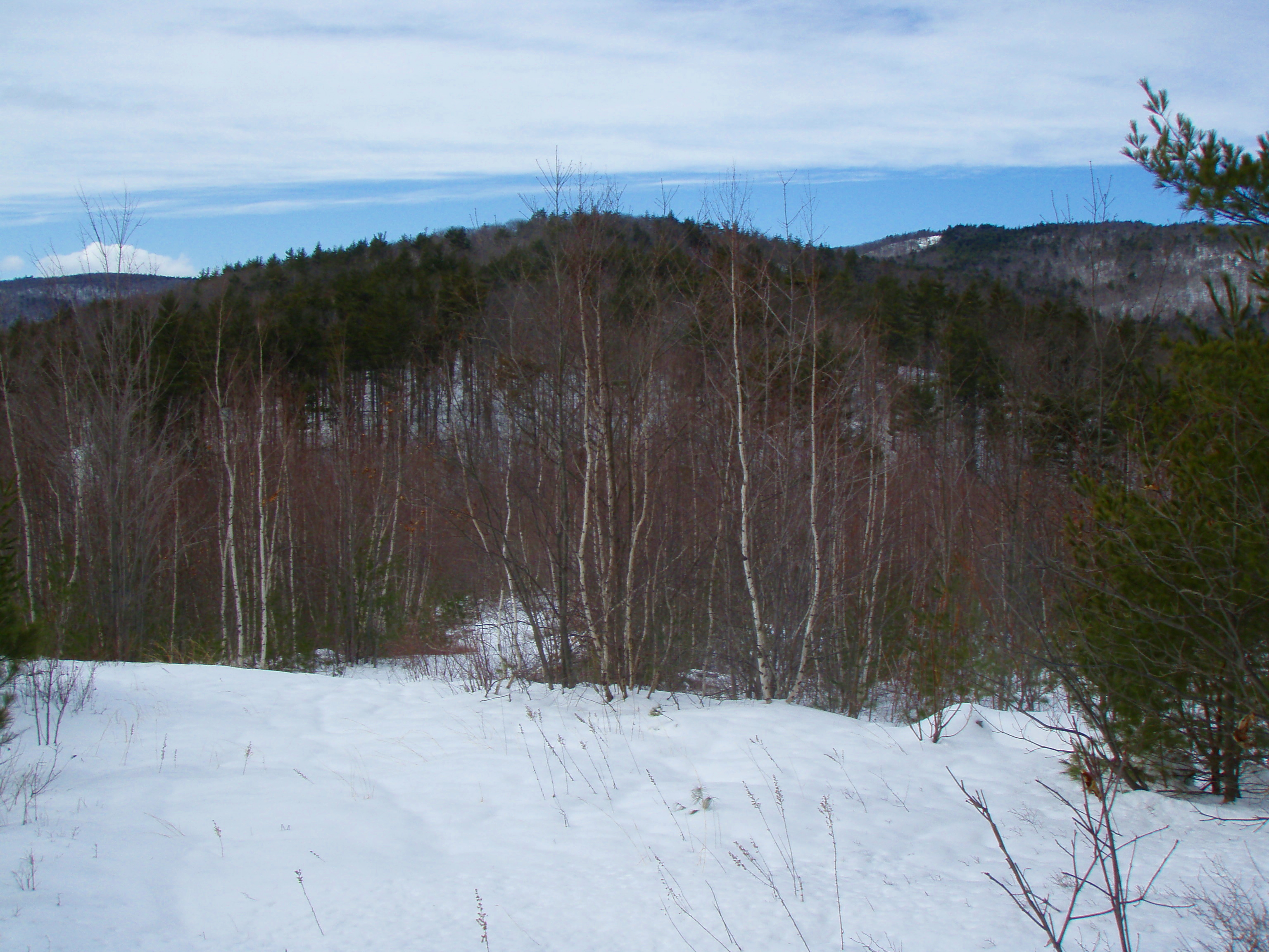
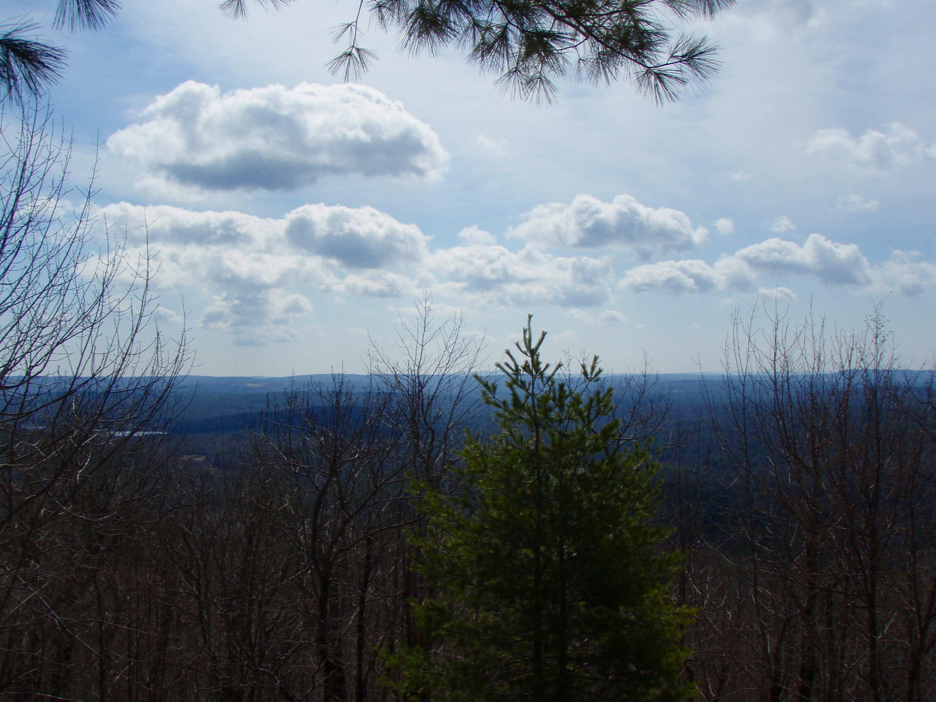
View North from Phoebes Nable Mt. Trail
"Clearing Skies"

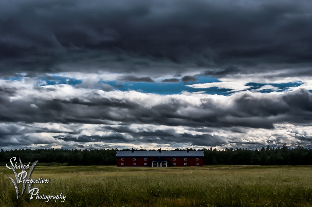
Gore Rd barn

Where Clouds and Snow Meet b&w

In the Clouds

Snowy Morning Sunrise
View from upper landing on North Trail
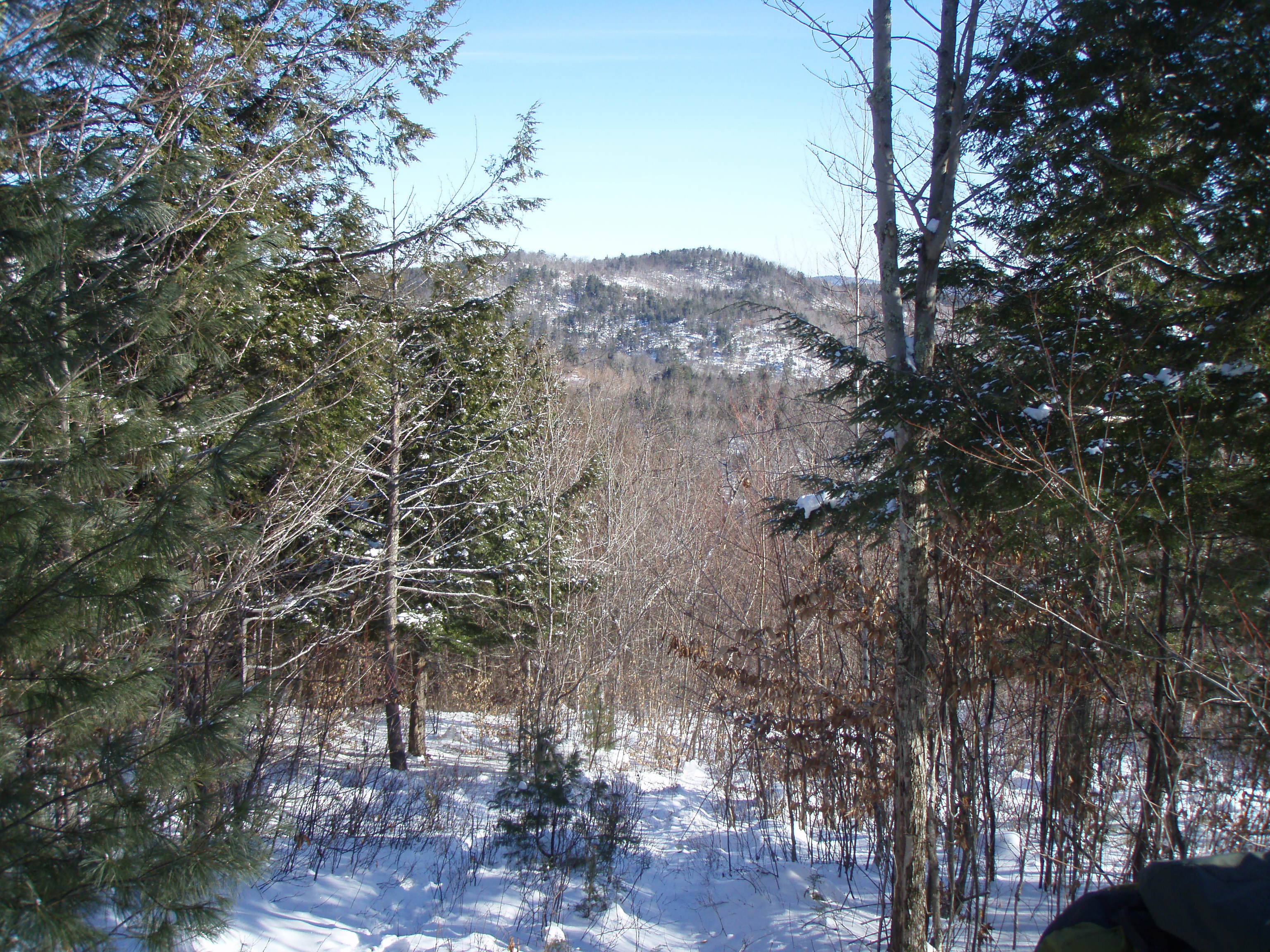
New View on Youngs Ridge

Snowy Serenity

Magical Mystery Tour
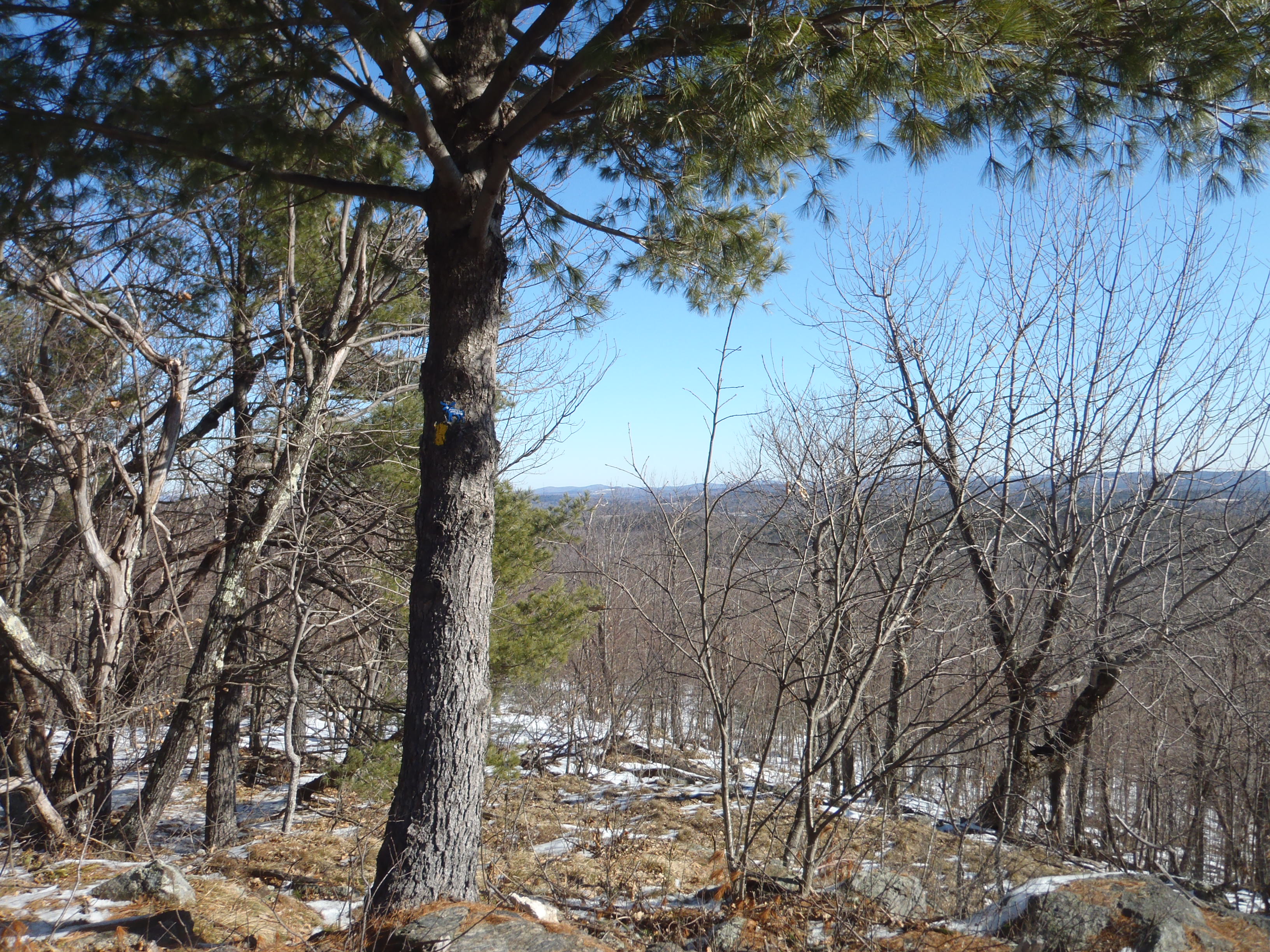
North View trail
Beauty Ledge view
View to Beauty & Boulder ledges
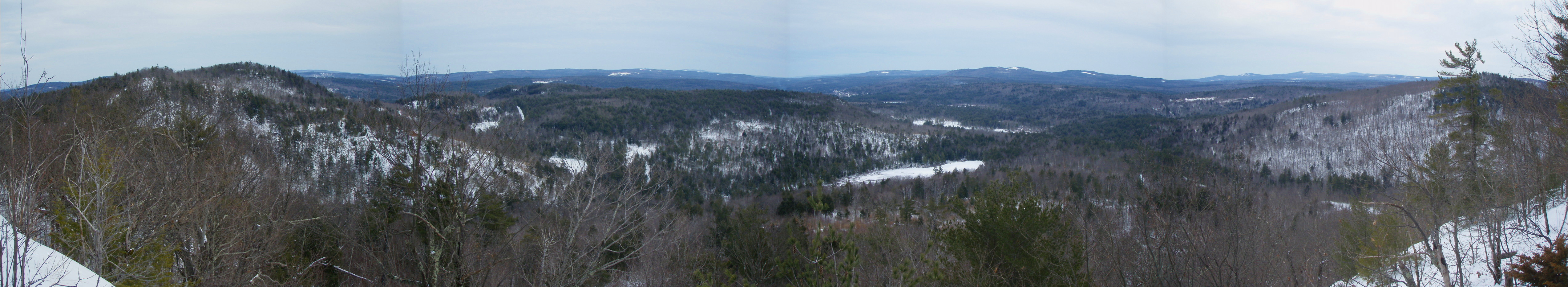
Beauty Ledge View 3-4-12 (pano)
View from Phoebe's Nable
View up to Moose Mountains
View from Phoebes Nable Mt. summit

Beauty Ledge 180* View (pano)

Another view.
Beauty Ledge view

E_WakefieldNH_21July15_B_126.JPG

P1040419.JPG

P1040235.JPG

P1040243.JPG

P1040233.JPG
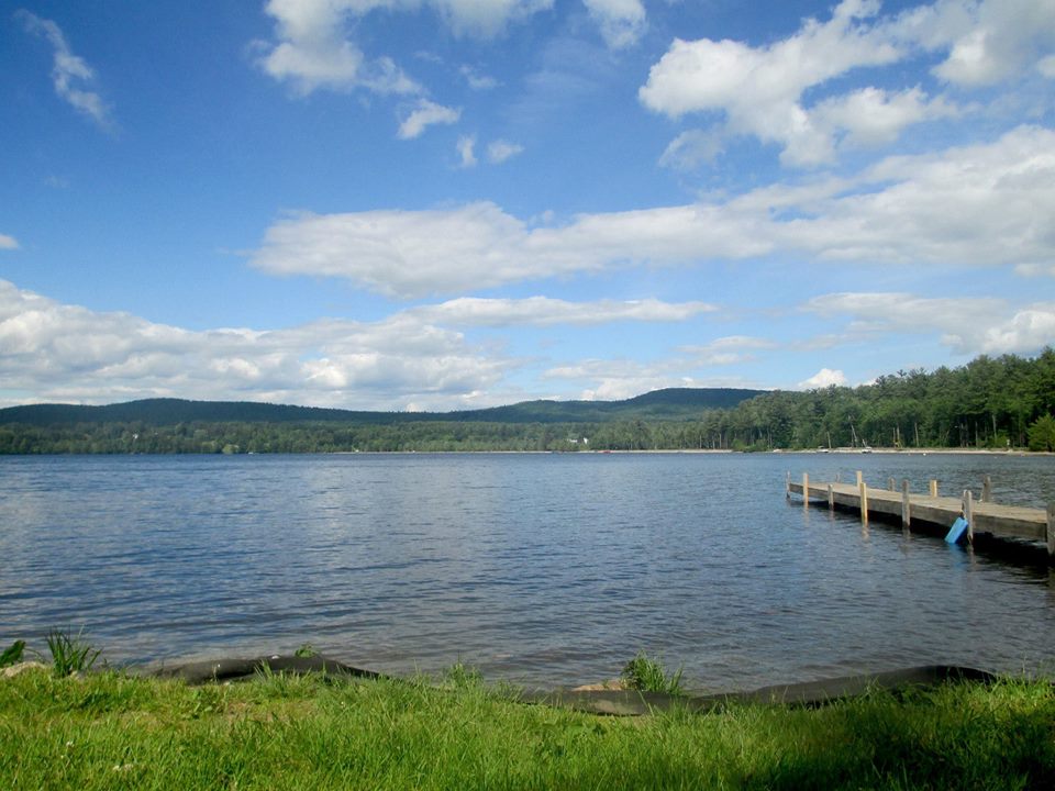
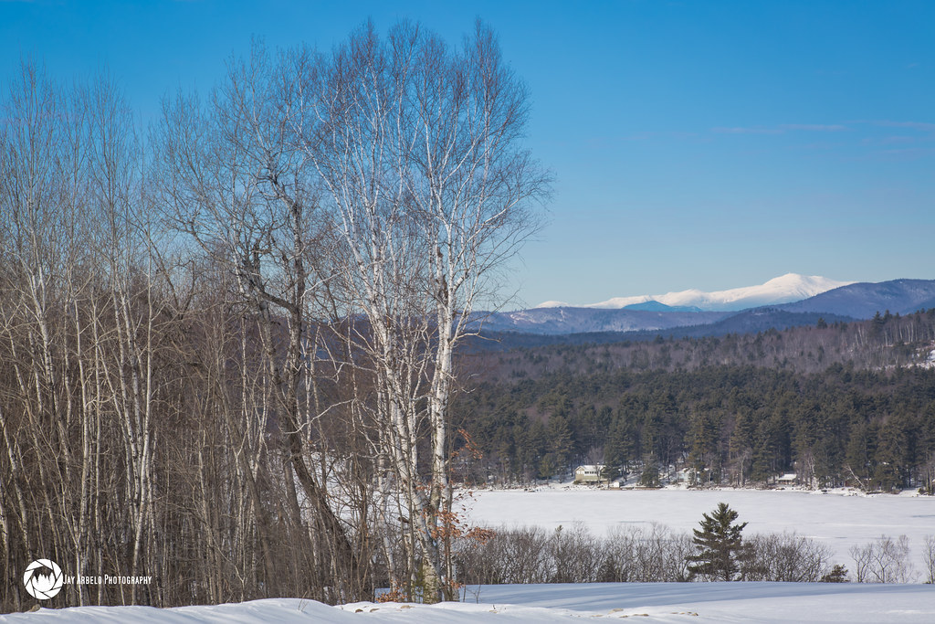
The Lake

P1040229.JPG

P1040213.JPG

P1040234.JPG

P1040207.JPG

E_WakefieldNH_21July15_B_88.JPG

P1040220.JPG

P1040238.JPG

P1040189.JPG

P1040221.JPG

P1040196.JPG

E_WakefieldNH_21July15_B_13.JPG

E_WakefieldNH_21July15_B_10.RW2
20120610 005

P1040406.JPG
Topographic Map of Stagecoach Road, Stagecoach Rd, Acton, ME, USA
Find elevation by address:

Places near Stagecoach Road, Stagecoach Rd, Acton, ME, USA:
Hopper Road
Acton
Milton Mills
7 Willey Rd
2609 Me-109
2609 Me-109
Milton Mills Road
Romac Orchards
1721 Foxes Ridge Rd
174 Buzzell Rd
174 Buzzell Rd
225 Lovell Heights Rd
11 Industrial Way
37 Katos Nose Rd
92 New Bridge Rd
38 Kingsbury Dr, Milton, NH, USA
Shapleigh
Deering Ridge Road
337 Simon Ricker Rd
140 Pineland Park Rd
Recent Searches:
- Elevation of Corso Fratelli Cairoli, 35, Macerata MC, Italy
- Elevation of Tallevast Rd, Sarasota, FL, USA
- Elevation of 4th St E, Sonoma, CA, USA
- Elevation of Black Hollow Rd, Pennsdale, PA, USA
- Elevation of Oakland Ave, Williamsport, PA, USA
- Elevation of Pedrógão Grande, Portugal
- Elevation of Klee Dr, Martinsburg, WV, USA
- Elevation of Via Roma, Pieranica CR, Italy
- Elevation of Tavkvetili Mountain, Georgia
- Elevation of Hartfords Bluff Cir, Mt Pleasant, SC, USA