Elevation of 11 Industrial Way, Milton, NH, USA
Location: United States > New Hampshire > Strafford County > Milton >
Longitude: -70.995366
Latitude: 43.4686211
Elevation: 169m / 554feet
Barometric Pressure: 99KPa
Elevation Map:
Satellite Map:
Related Photos:
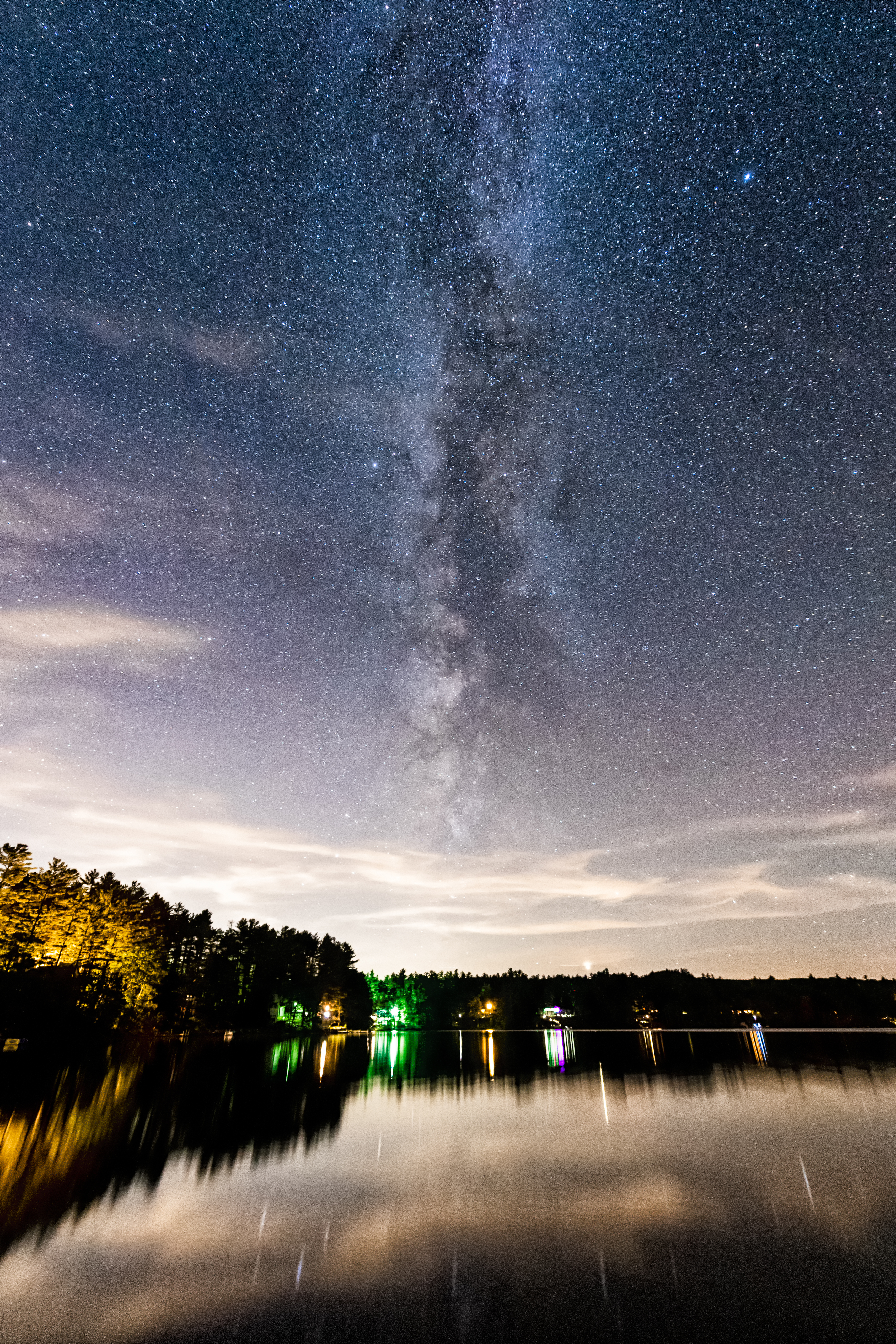
Milky Way Vertical View

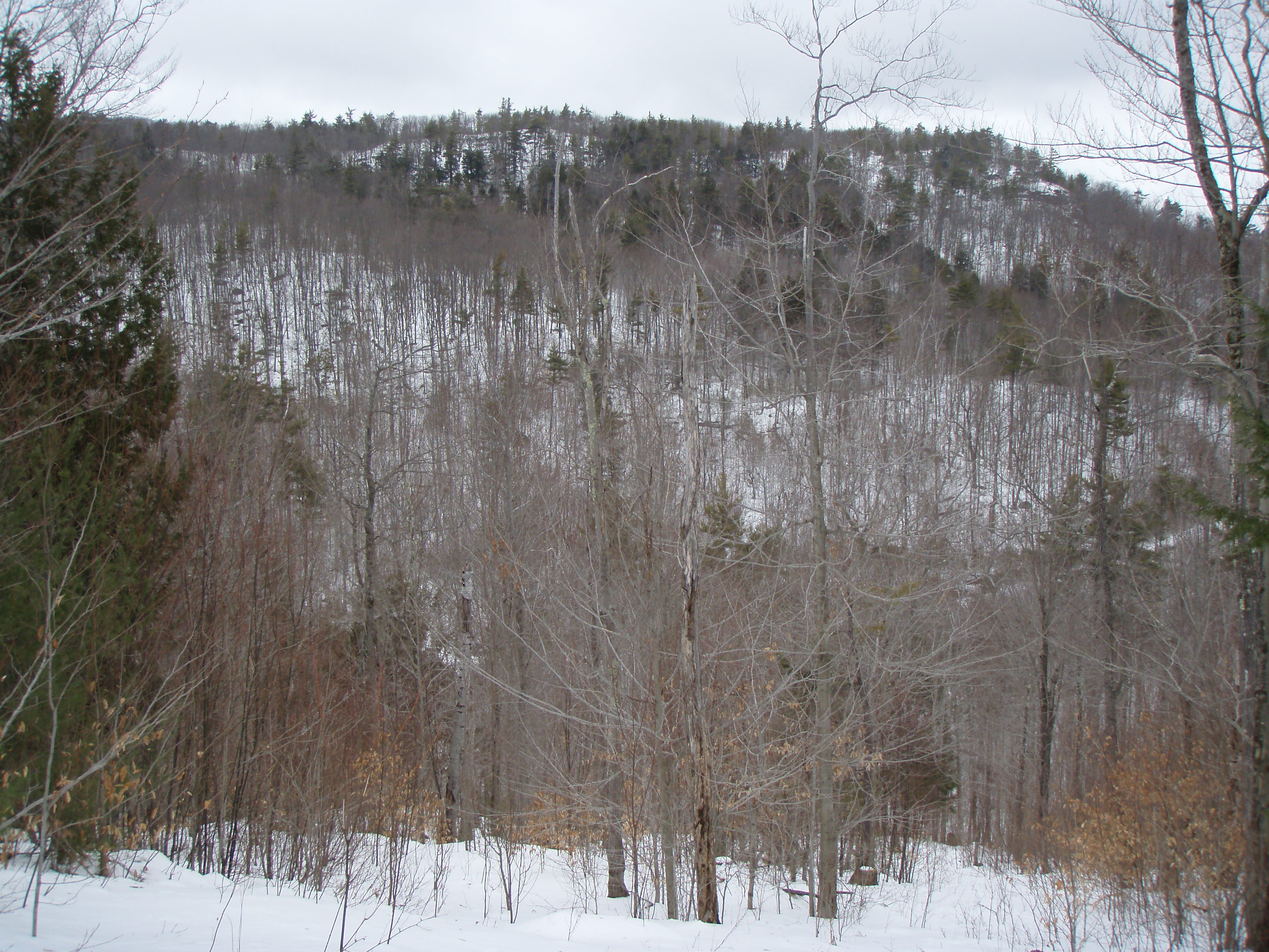
View from Phoebes Nable Mt. summit

View from Phoebes Nable Mt. summit

Phoebes Nable Mt. view
View to Beauty & Boulder ledges

View North from Phoebes Nable Mt. Trail
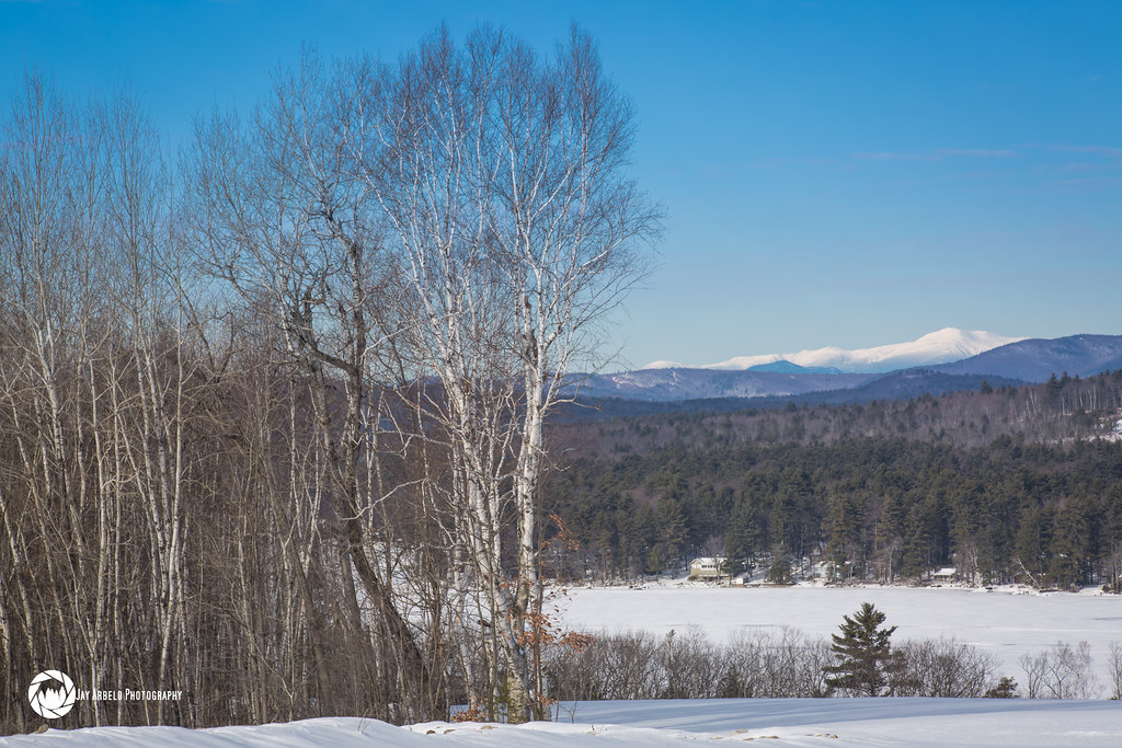
New View on Youngs Ridge

Another view.

Union Station

♥ ♥ ♥

Top view of first 3 steps and duffed out trail

Ice formation

View From The Beach

view across mousam

the Private runway

Top view of where stone staircase will be built

View across Bowser Pond from Beauty Ledge

Top view of where stone staircase will be built

View from Phoebe's Nable

North View trail

View to Beauty Knob from Phoebes Nable Mt. trail

Reflected Cotton Balls

Loon Pond After Sunset

Peninsula and Jet Ski

Loon Pond Shoreline

Twilight on the Pond

Waldron Pond (pano)
Rock for Boston

Sun on the hill

Wharves at Lake Winnipesawkee-6240090

Time Saver...

Hanson Brook, Brookfield, New Hampshire

The Woods Of New Hampshire...

Spring's Rage

Lake time
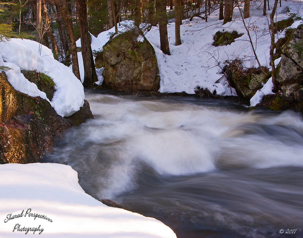
Raging Waters

New Hampshire - October 1975

New Hampshire - October 1975

Completed stone staircase

Cemetery; Lebanon, Maine
Topographic Map of 11 Industrial Way, Milton, NH, USA
Find elevation by address:

Places near 11 Industrial Way, Milton, NH, USA:
Milton
Milton
38 Kingsbury Dr, Milton, NH, USA
140 Pineland Park Rd
7 Willey Rd
Milton Mills
92 New Bridge Rd
1721 Foxes Ridge Rd
Stagecoach Road
Hopper Road
225 Lovell Heights Rd
Acton
Milton Mills Road
2609 Me-109
2609 Me-109
174 Buzzell Rd
174 Buzzell Rd
Romac Orchards
357 Smith Rd
357 Smith Rd
Recent Searches:
- Elevation of Corso Fratelli Cairoli, 35, Macerata MC, Italy
- Elevation of Tallevast Rd, Sarasota, FL, USA
- Elevation of 4th St E, Sonoma, CA, USA
- Elevation of Black Hollow Rd, Pennsdale, PA, USA
- Elevation of Oakland Ave, Williamsport, PA, USA
- Elevation of Pedrógão Grande, Portugal
- Elevation of Klee Dr, Martinsburg, WV, USA
- Elevation of Via Roma, Pieranica CR, Italy
- Elevation of Tavkvetili Mountain, Georgia
- Elevation of Hartfords Bluff Cir, Mt Pleasant, SC, USA