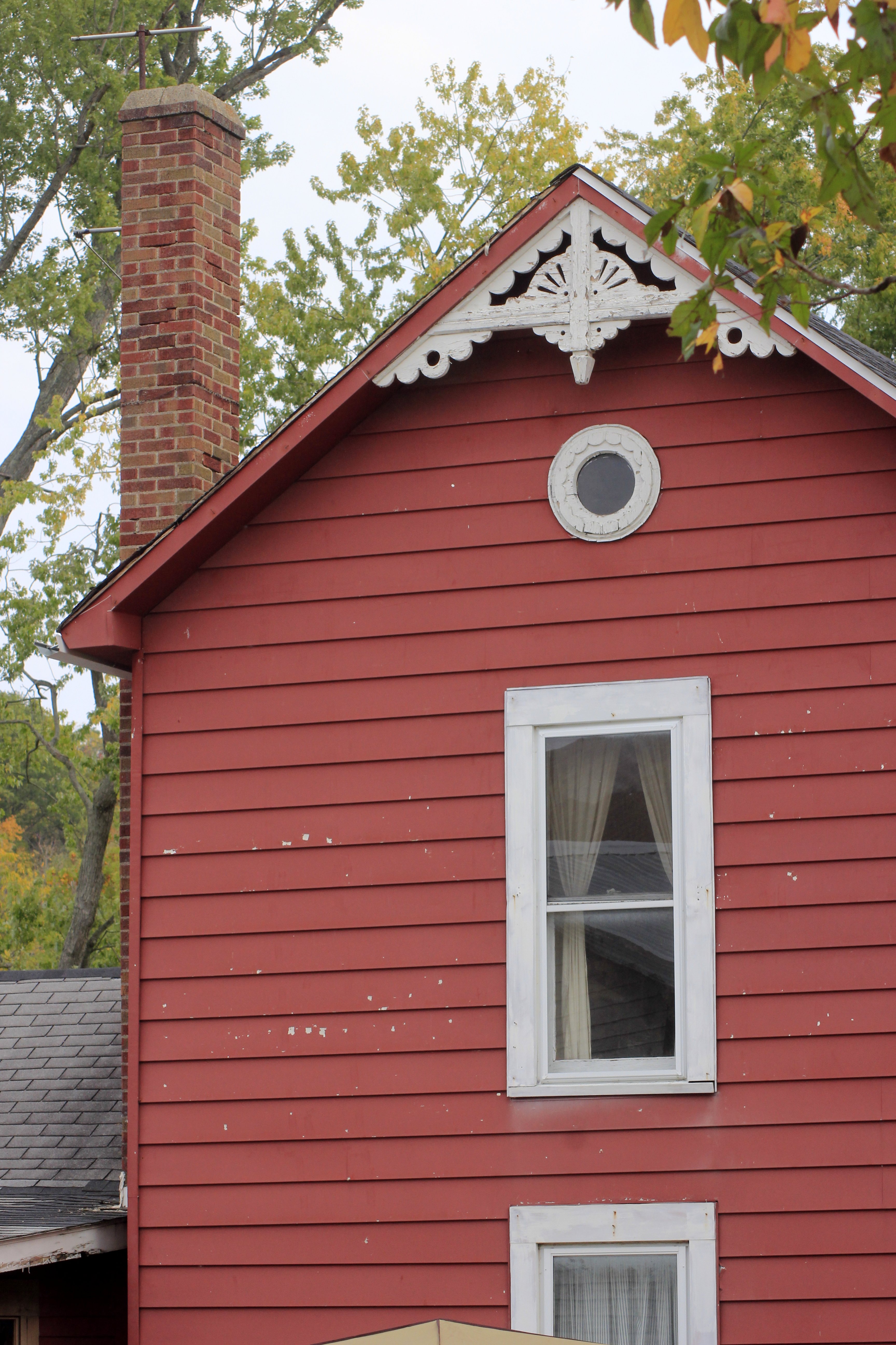
Elevation of St Mary Rd, Brookville, IN, USA
Location: United States > Indiana > Franklin County > Butler Township >
Longitude: -85.0855088
Latitude: 39.3846185
Elevation: 294m / 965feet
Barometric Pressure: 0KPa
Related Photos:

TrackHead Studios - Shades of Lavender
God's art- view on black

TrackHead Studios - Spring Flowers

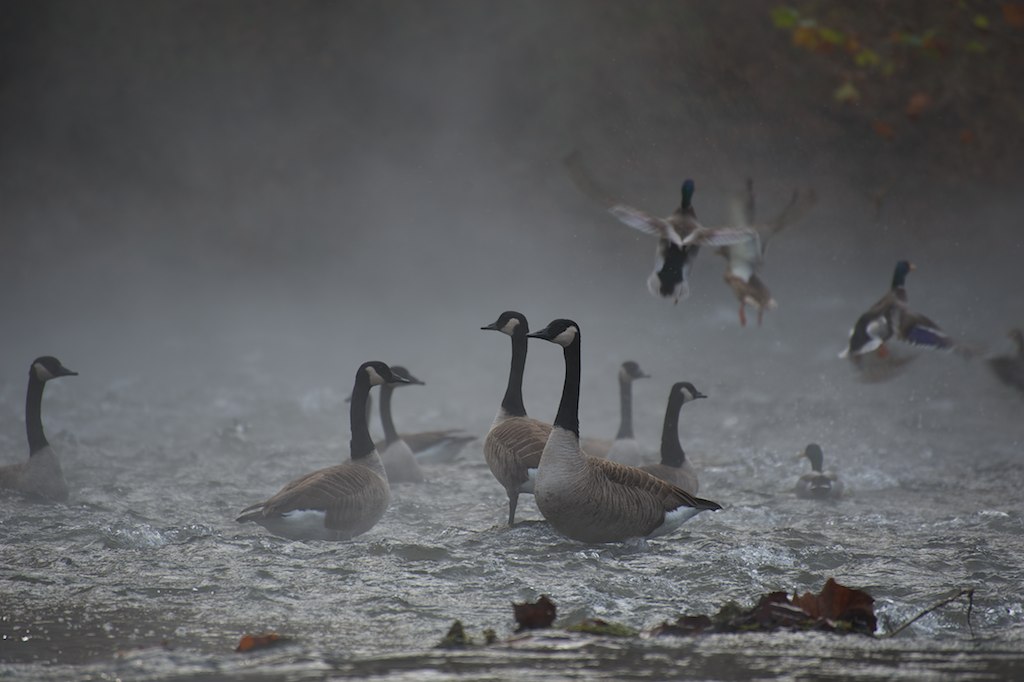
BALD EAGLE - JUVENILE BATHING

Tail Frame 12/52

Light at the end of the tunnel
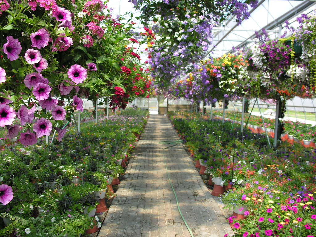
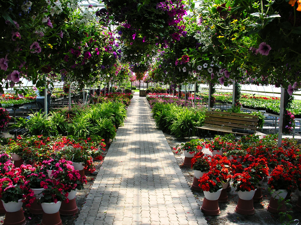
TrackHead Studios - Floral WalkWay

TrackHead Studios - From Birth to Death

TrackHead Studios - Solar Lotus
TrackHead Studios - Waterside Worms-Eye View
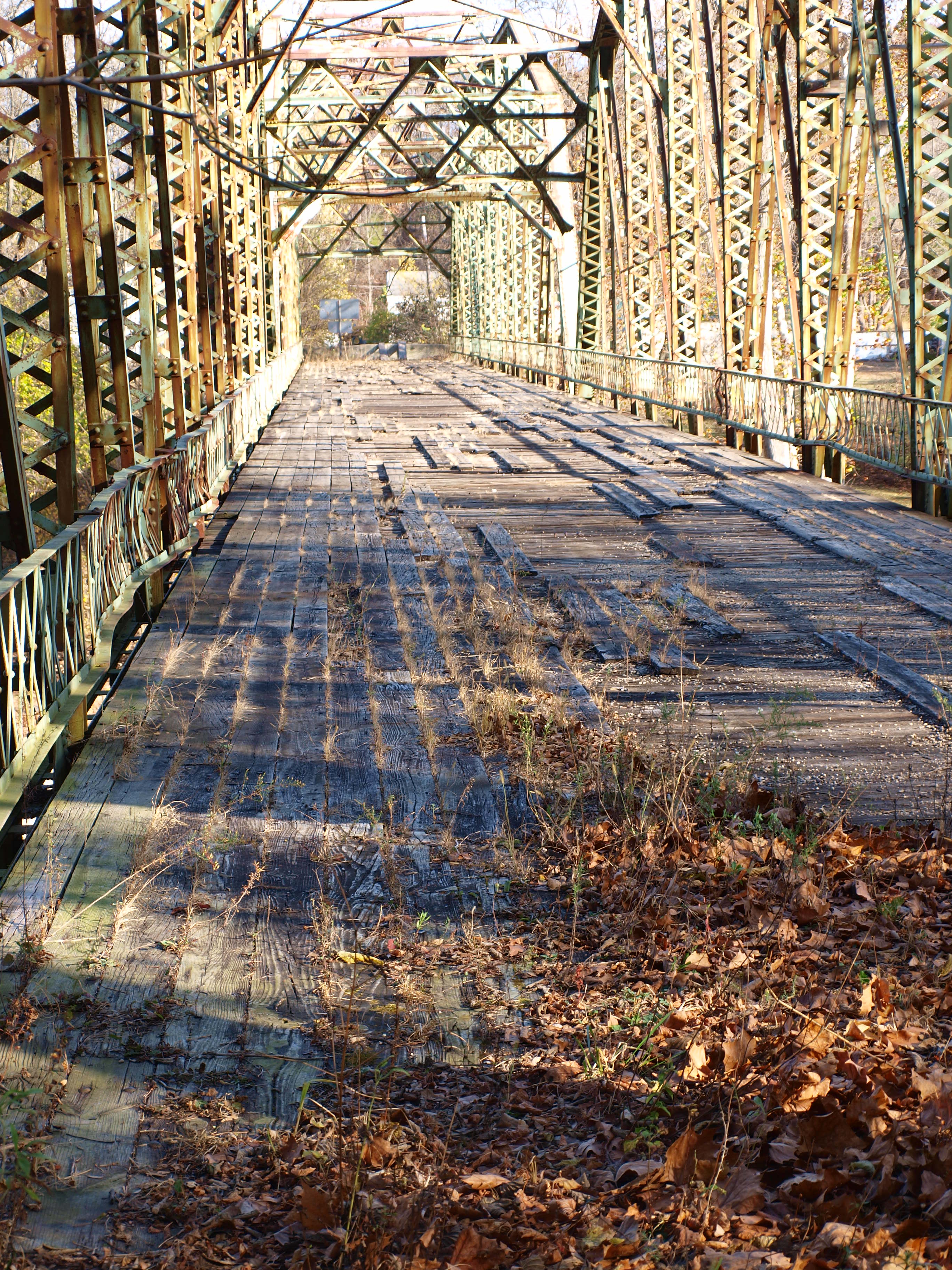
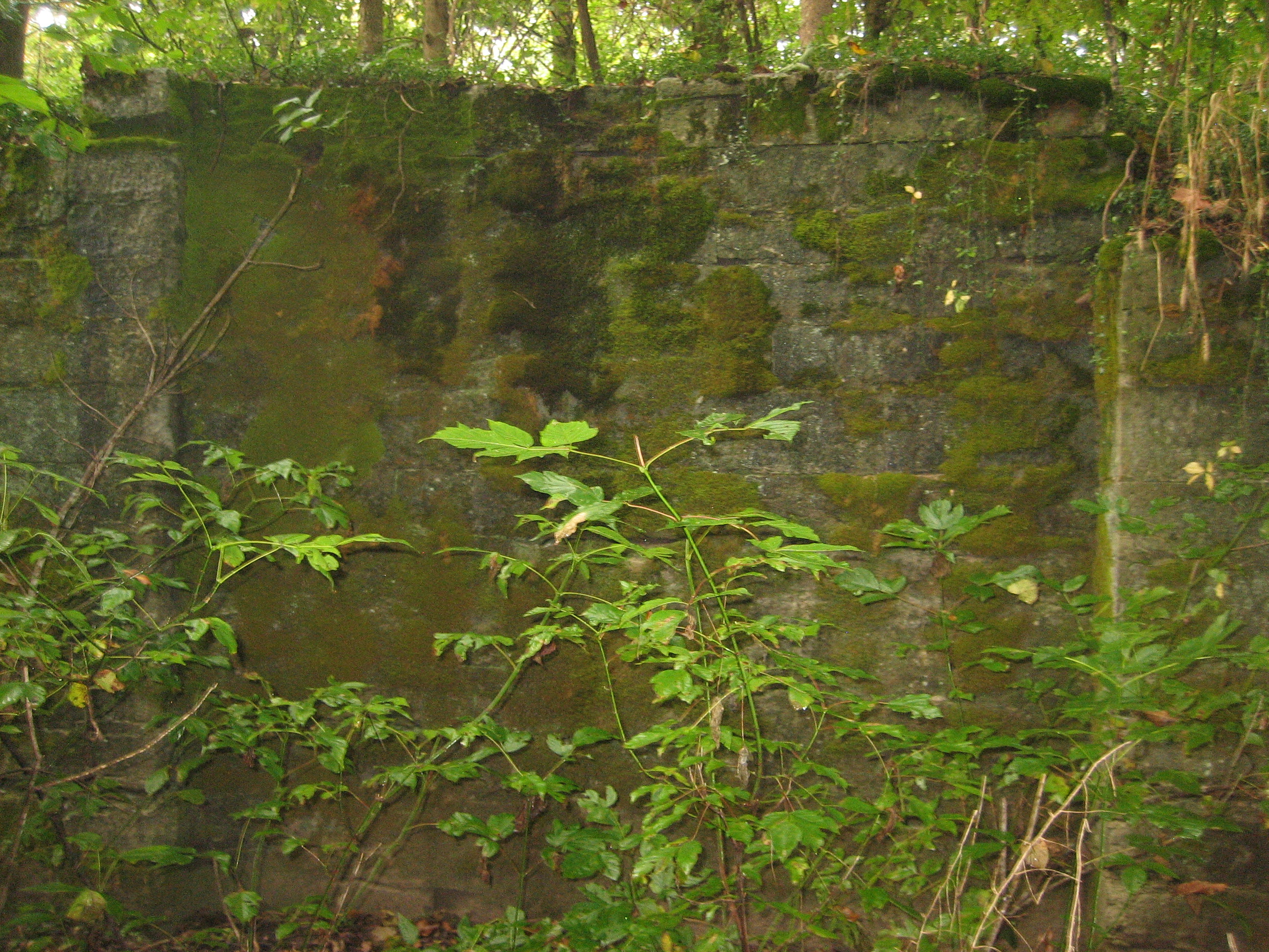
Cedar Grove Bridge deck view
TrackHead Studios - Colorful Path

HDR Jesus

TrackHead Studios - Floral Floor
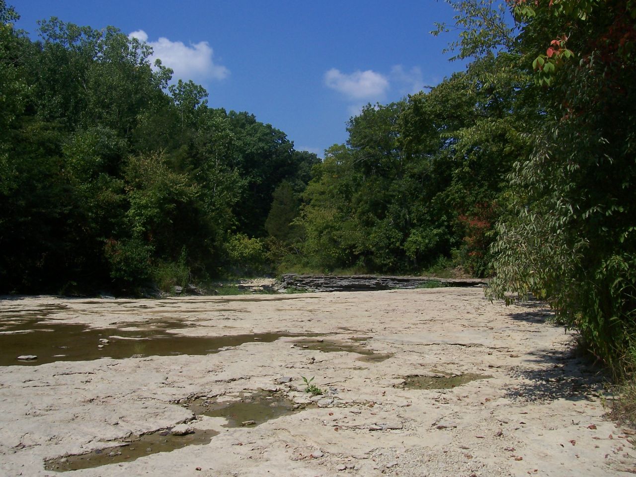
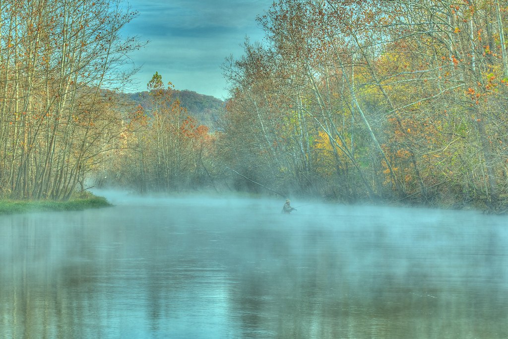
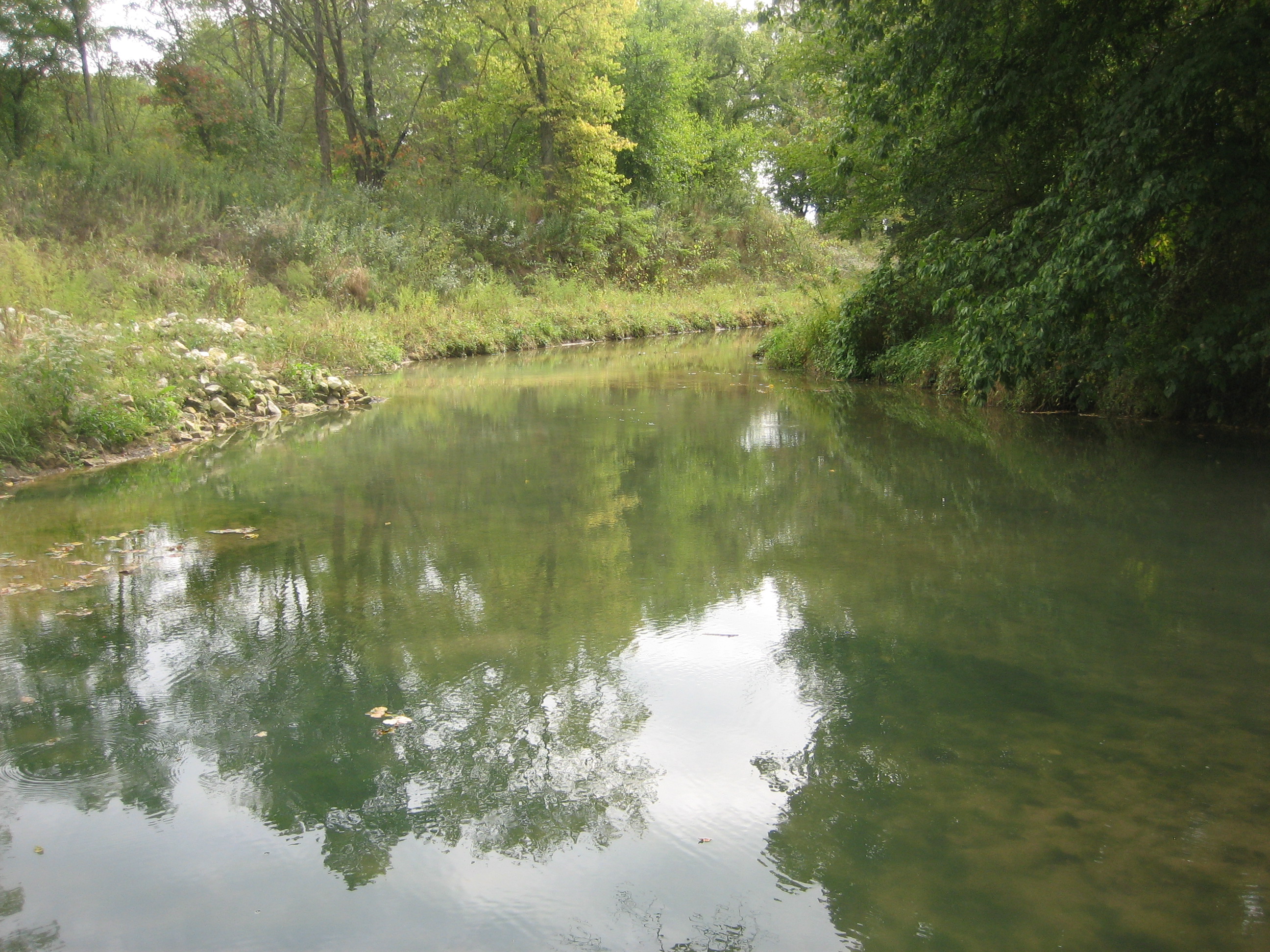
Day 6e the crick
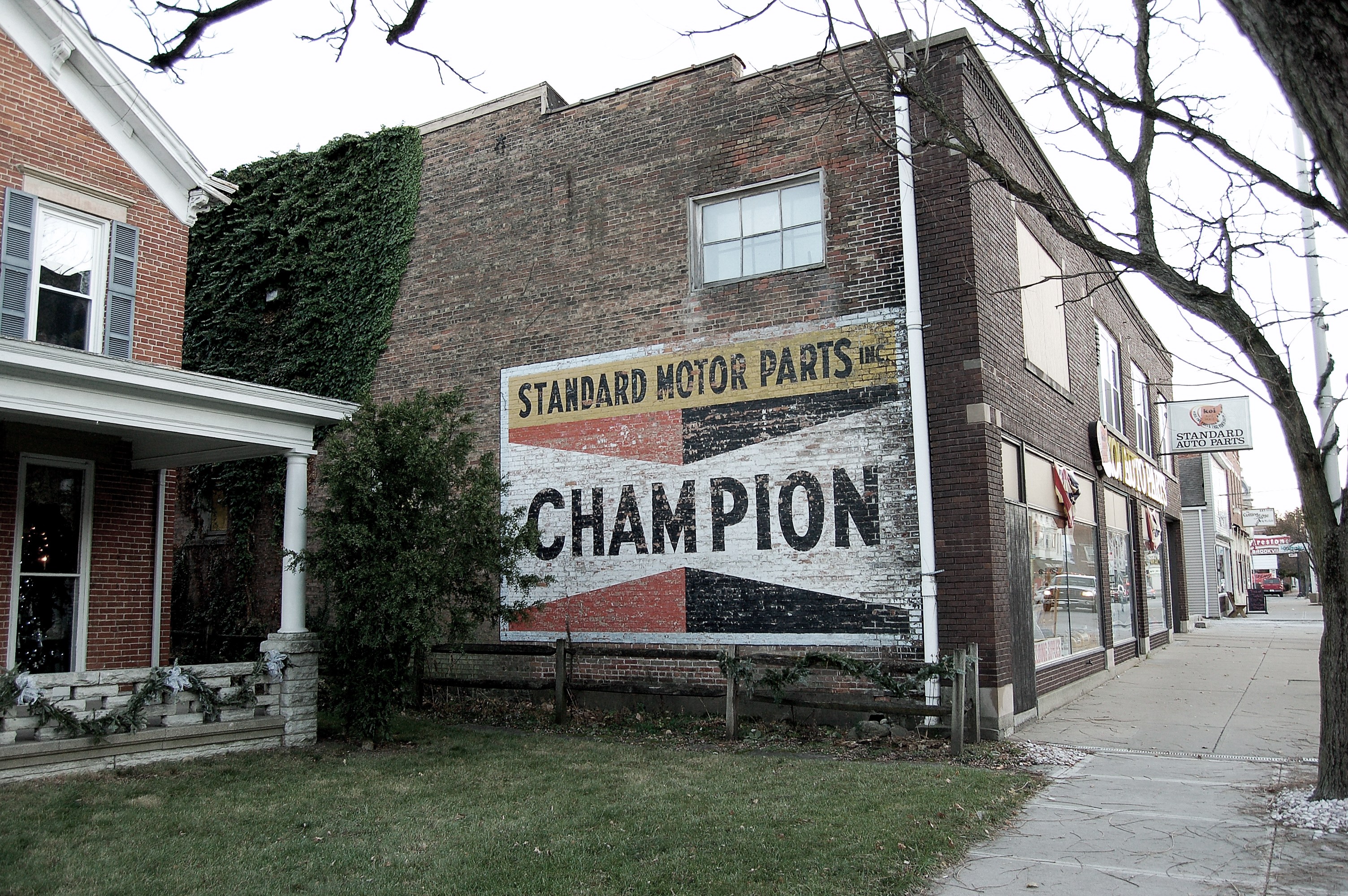
Indiana, Brookville, Champion (17,104)
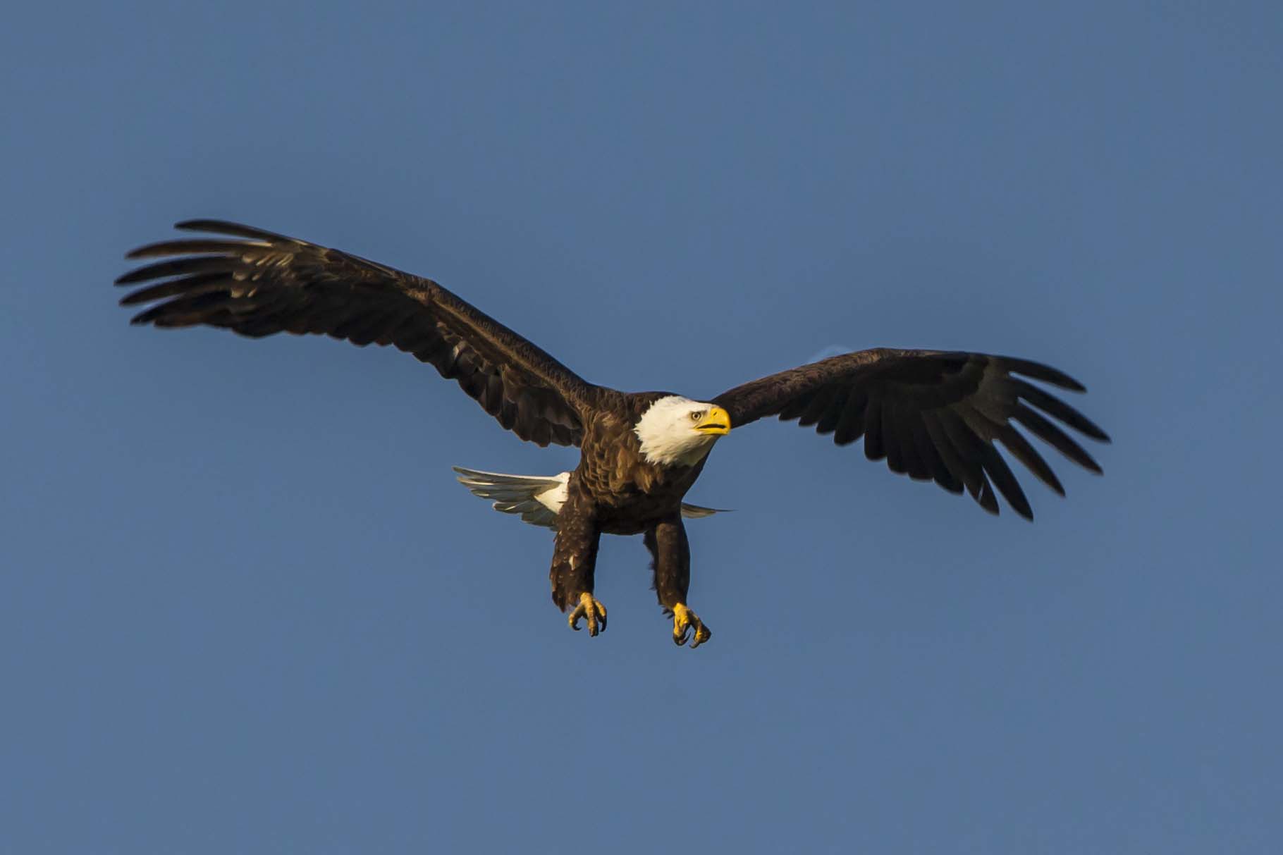
BALD EAGLE, BROOKVILLE, INDIANA
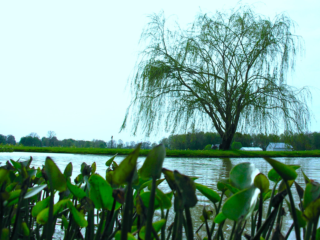
A View To The Garden
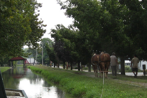
A view of the Duck Creek Aqueduct

FISH DINNER AT THE NEST IN BROOKVILLE, INDIANA

ROCK PIGEONS
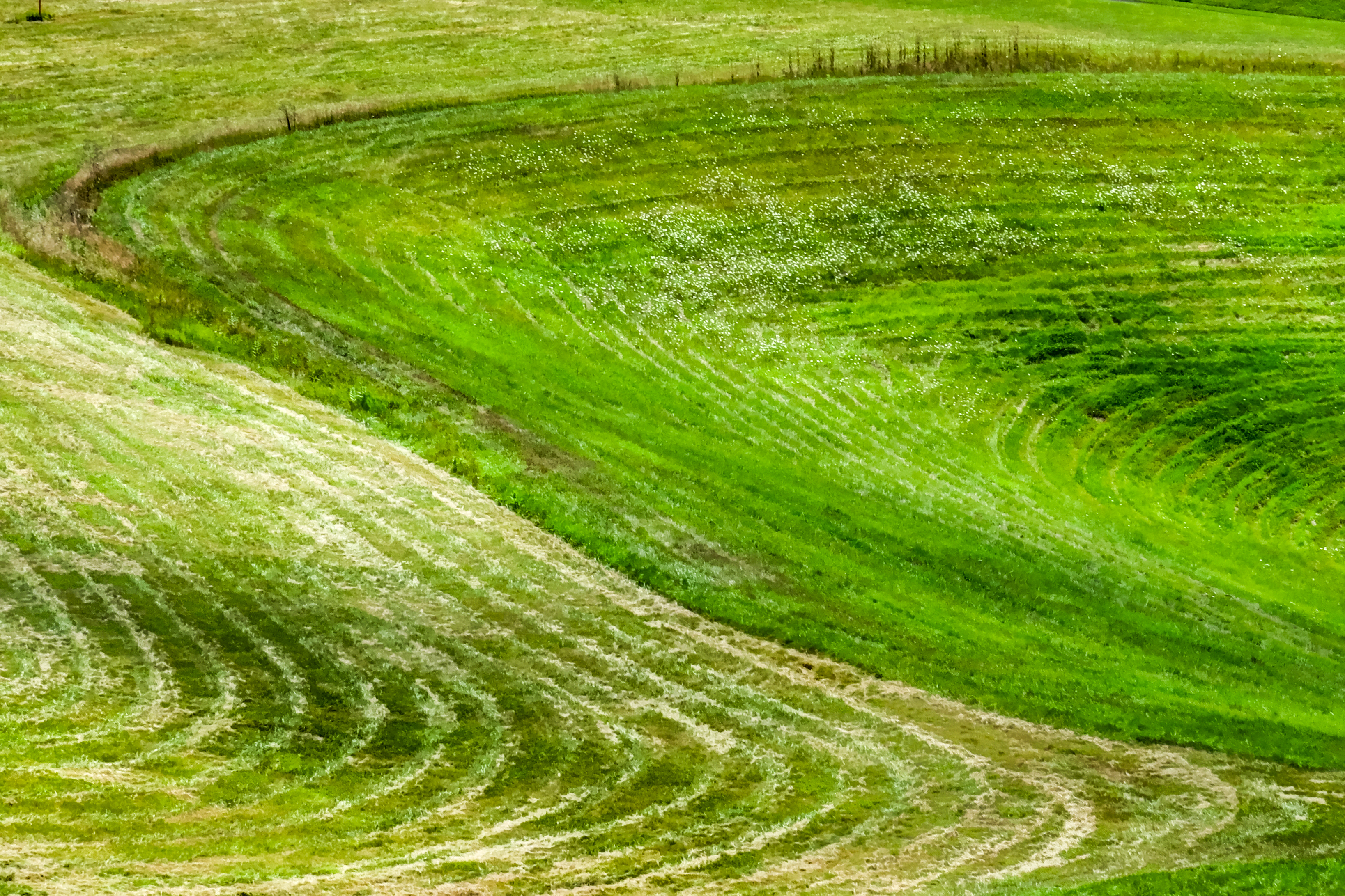
grassprint-
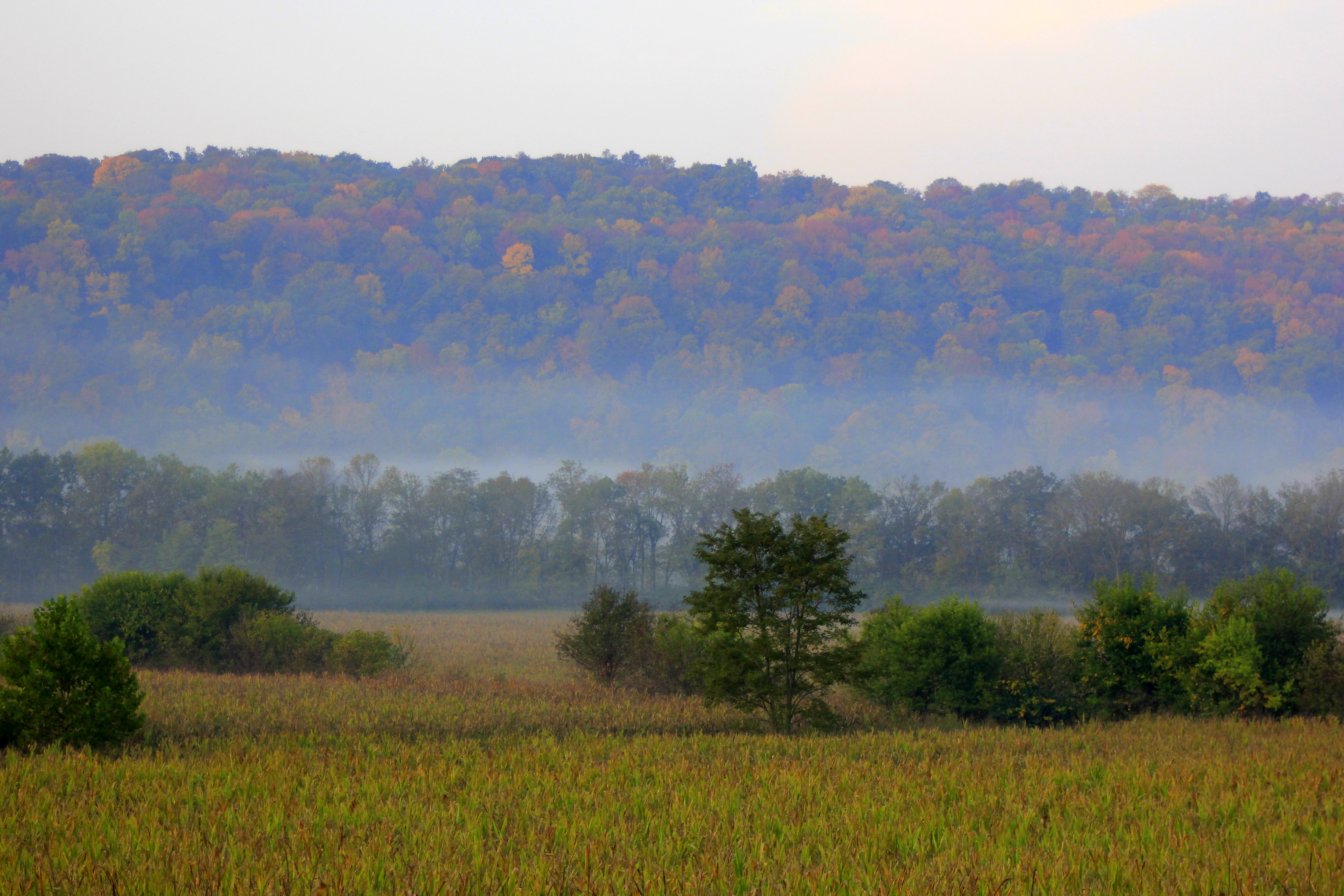
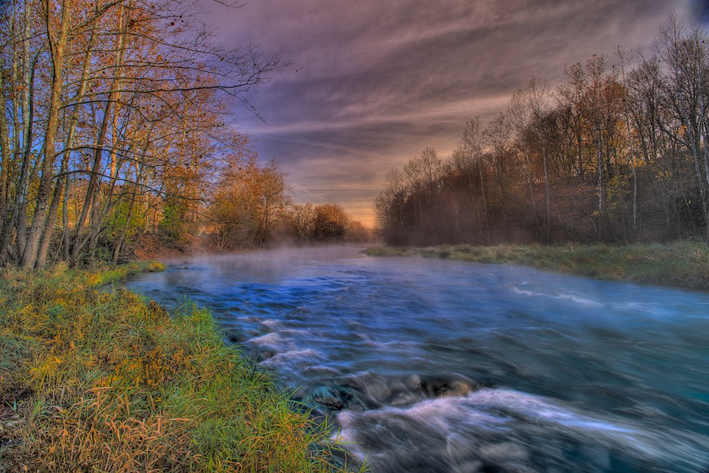
Morning Layers
2010-10-30 at 09-25-05
2010-10-30 at 09-52-15

2010-10-30 at 09-13-52

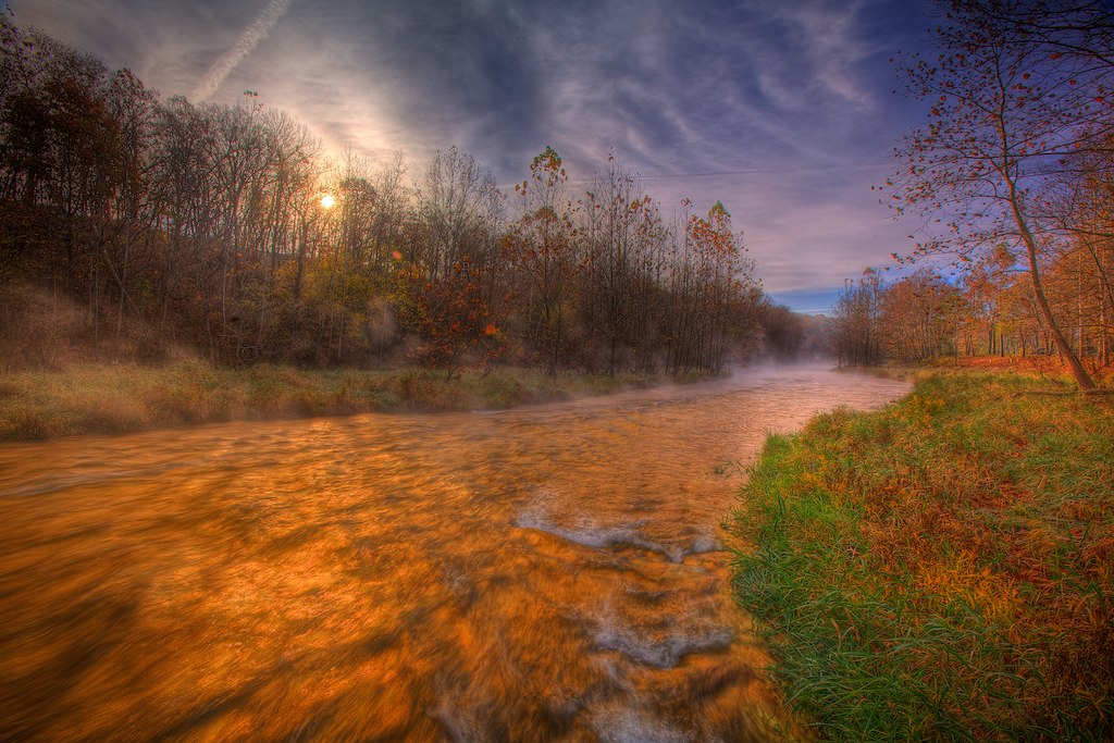
hillsky-

2010-11-06 at 09-12-50
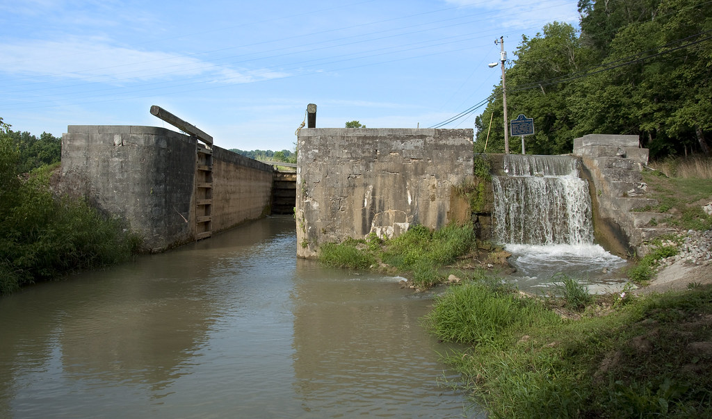
Gordon's Lock, #24
2010-10-30 at 09-31-20

2010-10-30 at 09-44-13
Lock 29 - Jinks
2010-10-30 at 10-02-09
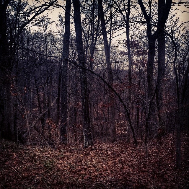
I find these rural wooded areas in the mountains pretty creepy. More of a reason to explore the back roads if Hwy 52
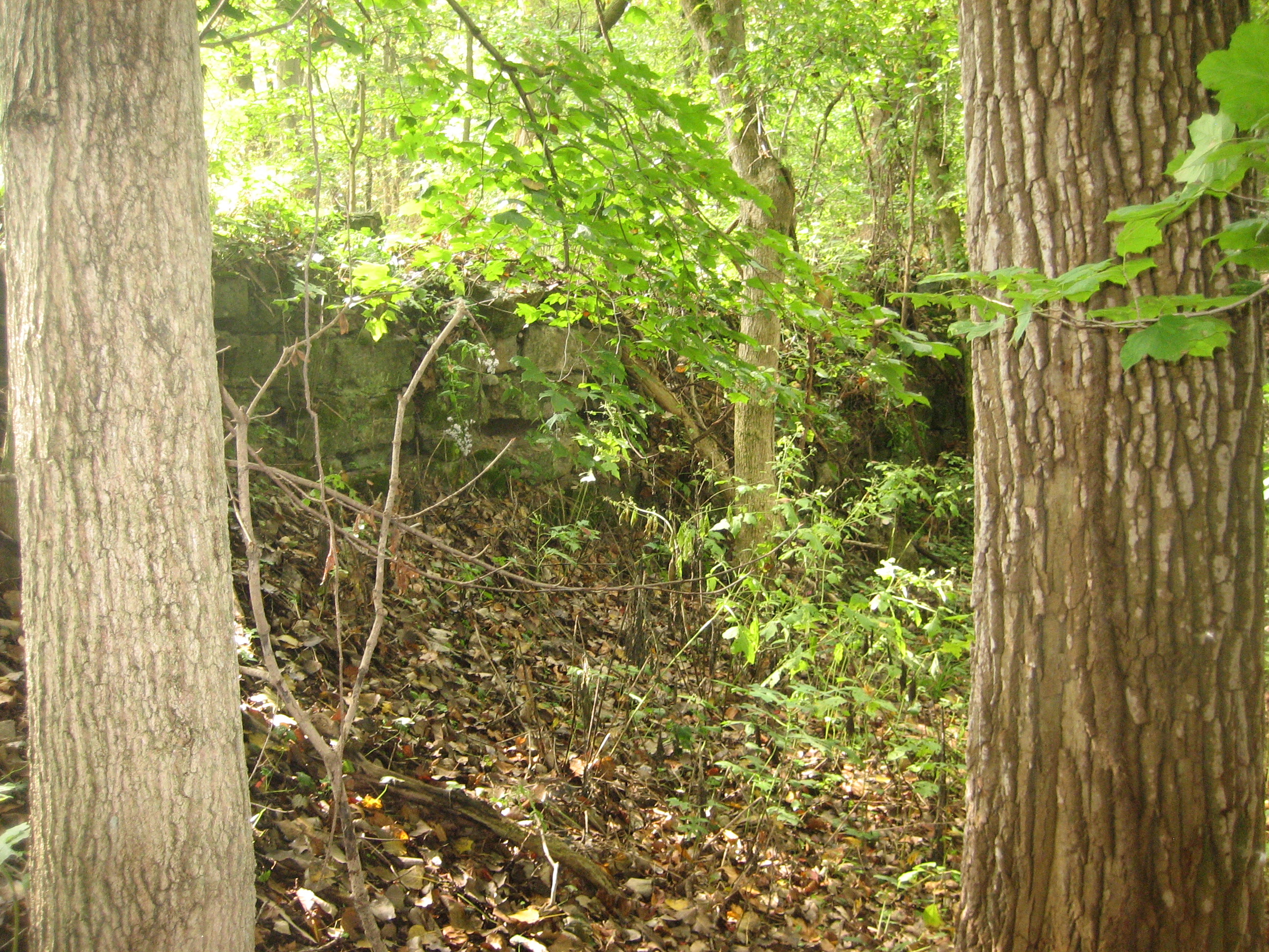
Lock 21 - Yellow Bank
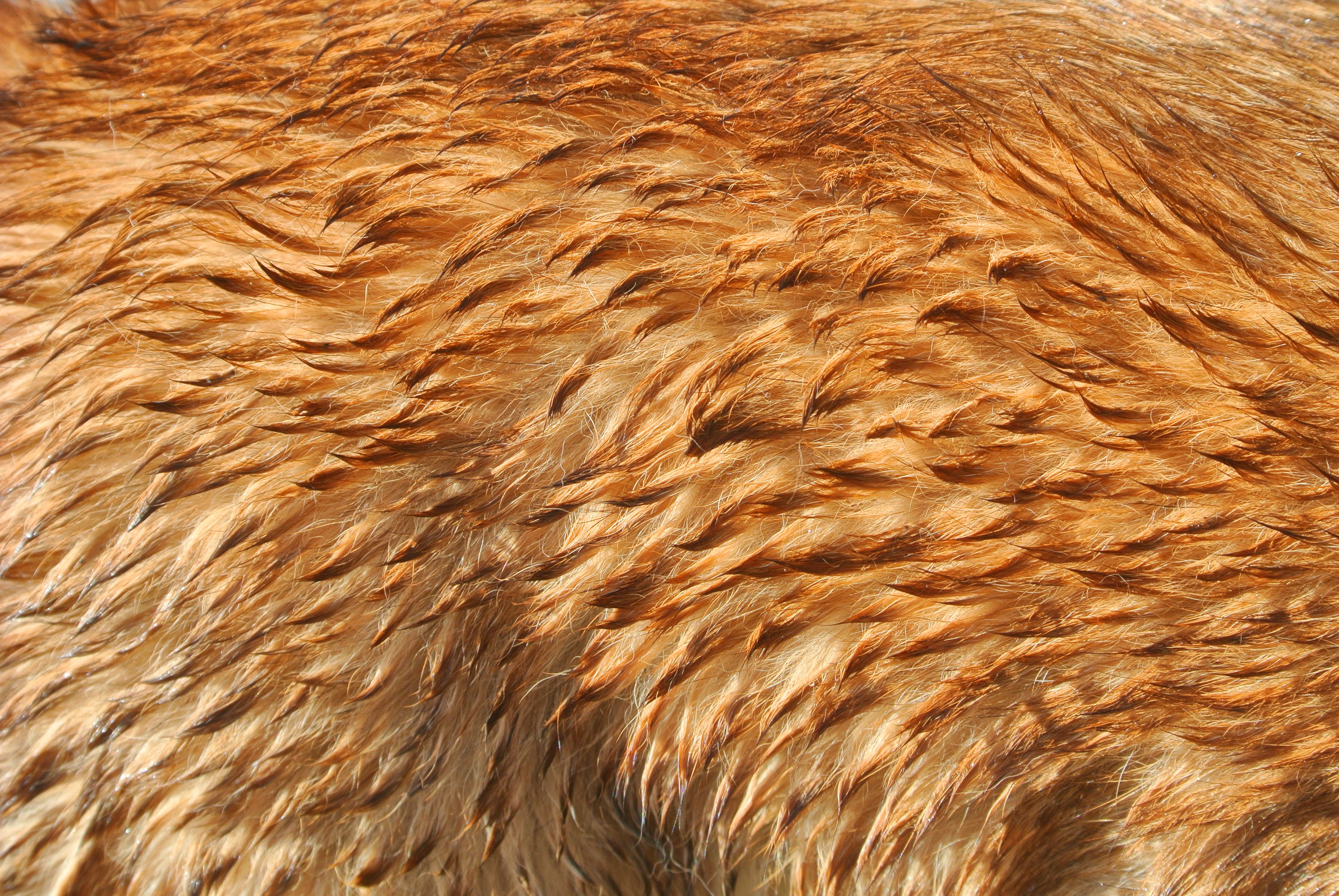
Wet fur with higher contrast

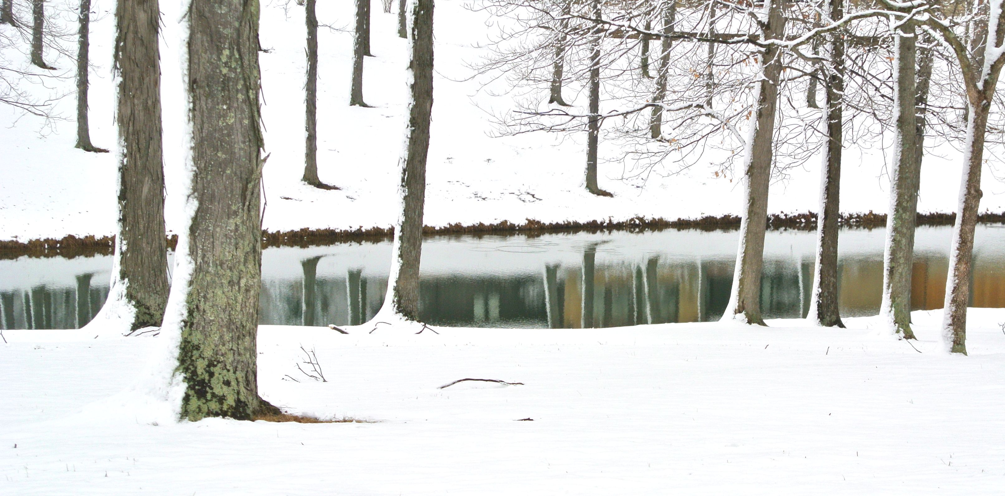
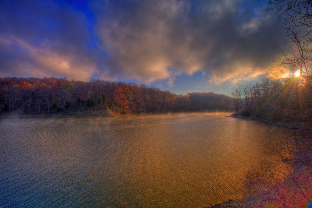
Brookville lake
2010-11-06 at 09-11-26

Lock 19 on the Whitewater Canal
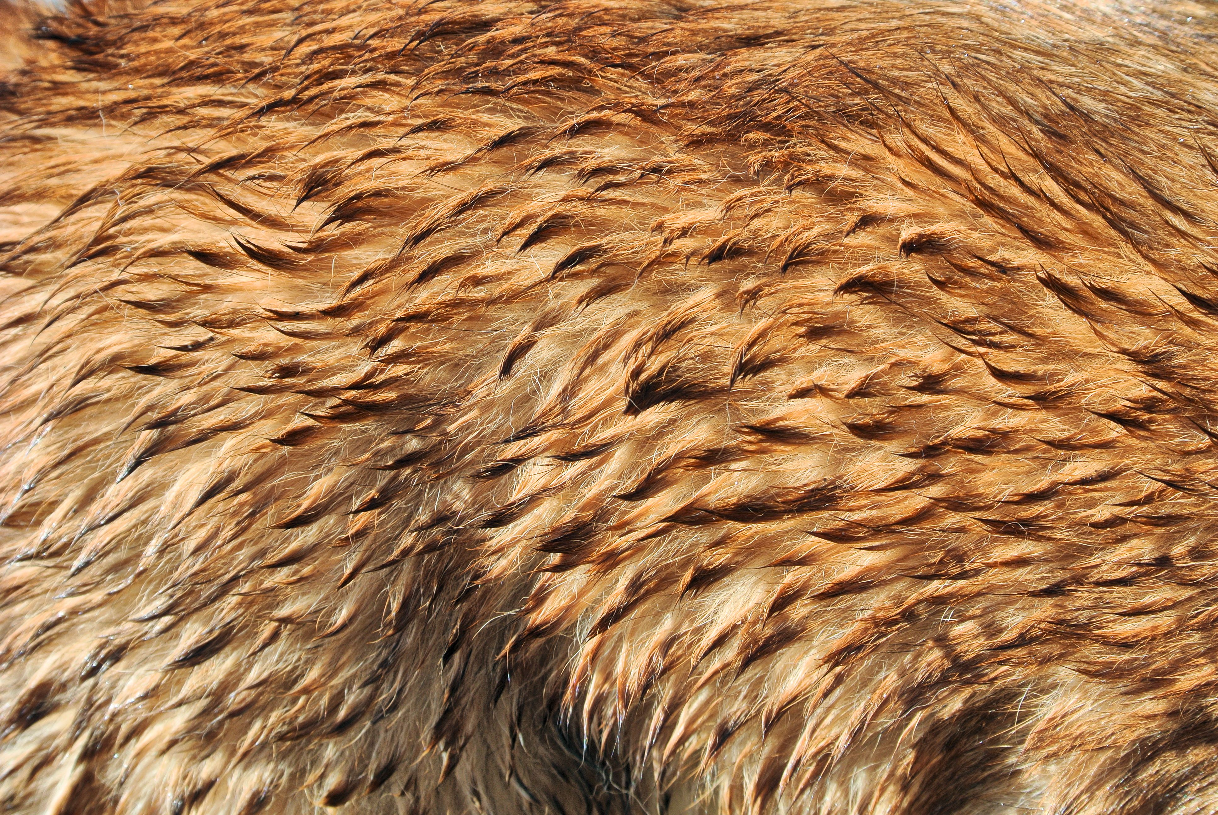
Wet fur
Lock 19 on the Whitewater Canal
Topographic Map of St Mary Rd, Brookville, IN, USA
Find elevation by address:

Places near St Mary Rd, Brookville, IN, USA:
Franklin County
Metamora Township
US-52, Brookville, IN, USA
Brookville
Metamora
20200 Bates Farm E Dr
IN-, Metamora, IN, USA
US-52, Brookville, IN, USA
Brookville Township
Blooming Grove Township
Stone Church Rd, Brookville, IN, USA
Blooming Grove
US-52, Laurel, IN, USA
Laurel
Fairfield Township
Oxford Pike, Brookville, IN, USA
Charlame Dr, Brookville, IN, USA
Salt Creek Township
IN-1, Connersville, IN, USA
Jackson Township
Recent Searches:
- Elevation of Clifton Down, Clifton, Bristol, City of Bristol, England, BS8 3HU, United Kingdom
- Elevation map of Auvergne-Rhône-Alpes, France
- Elevation map of Upper Savoy, Auvergne-Rhône-Alpes, France
- Elevation of Chamonix-Mont-Blanc, Upper Savoy, Auvergne-Rhône-Alpes, France
- Elevation of 908, Northwood Drive, Bridge Field, Chesapeake, Virginia, 23322, USA
- Elevation map of Nagano Prefecture, Japan
- Elevation of 587, Bascule Drive, Oakdale, Stanislaus County, California, 95361, USA
- Elevation of Stadion Wankdorf, Sempachstrasse, Breitfeld, Bern, Bern-Mittelland administrative district, Bern, 3014, Switzerland
- Elevation of Z024, 76, Emil-von-Behring-Straße, Marbach, Marburg, Landkreis Marburg-Biedenkopf, Hesse, 35041, Germany
- Elevation of Gaskill Road, Hunts Cross, Liverpool, England, L24 9PH, United Kingdom
- Elevation of Speke, Liverpool, England, L24 9HD, United Kingdom
- Elevation of Seqirus, 475, Green Oaks Parkway, Holly Springs, Wake County, North Carolina, 27540, USA
- Elevation of Pasing, Munich, Bavaria, 81241, Germany
- Elevation of 24, Auburn Bay Crescent SE, Auburn Bay, Calgary, Alberta, T3M 0A6, Canada
- Elevation of Denver, 2314, Arapahoe Street, Five Points, Denver, Colorado, 80205, USA
- Elevation of Community of the Beatitudes, 2924, West 43rd Avenue, Sunnyside, Denver, Colorado, 80211, USA
- Elevation map of Litang County, Sichuan, China
- Elevation map of Madoi County, Qinghai, China
- Elevation of 3314, Ohio State Route 114, Payne, Paulding County, Ohio, 45880, USA
- Elevation of Sarahills Drive, Saratoga, Santa Clara County, California, 95070, USA