Elevation of St. Laurent, MB, Canada
Location: Canada > Manitoba > Division No. 18 >
Longitude: -97.973899
Latitude: 50.4478377
Elevation: 249m / 817feet
Barometric Pressure: 98KPa
Elevation Map:
Satellite Map:
Related Photos:

day for night

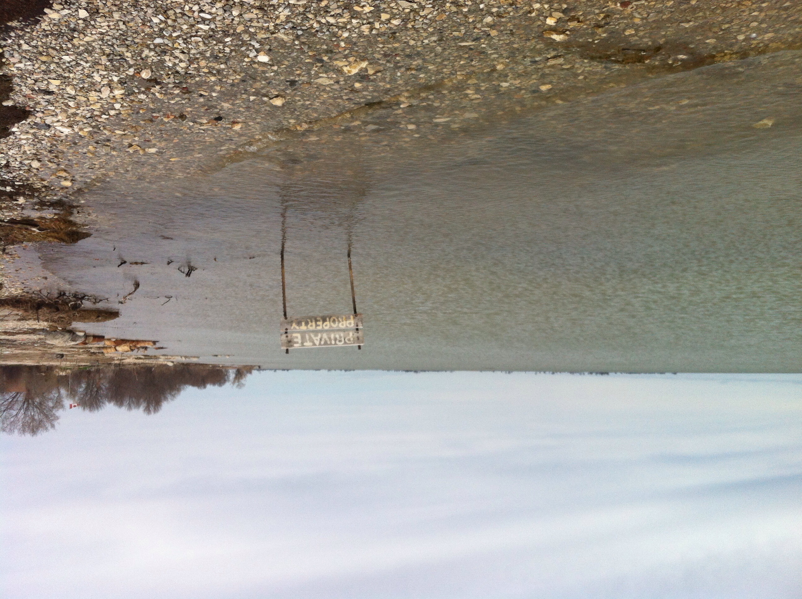
Private Property
Private Property
100513-175F
100513-178F

100513-173F
100513-177F

Real?ty
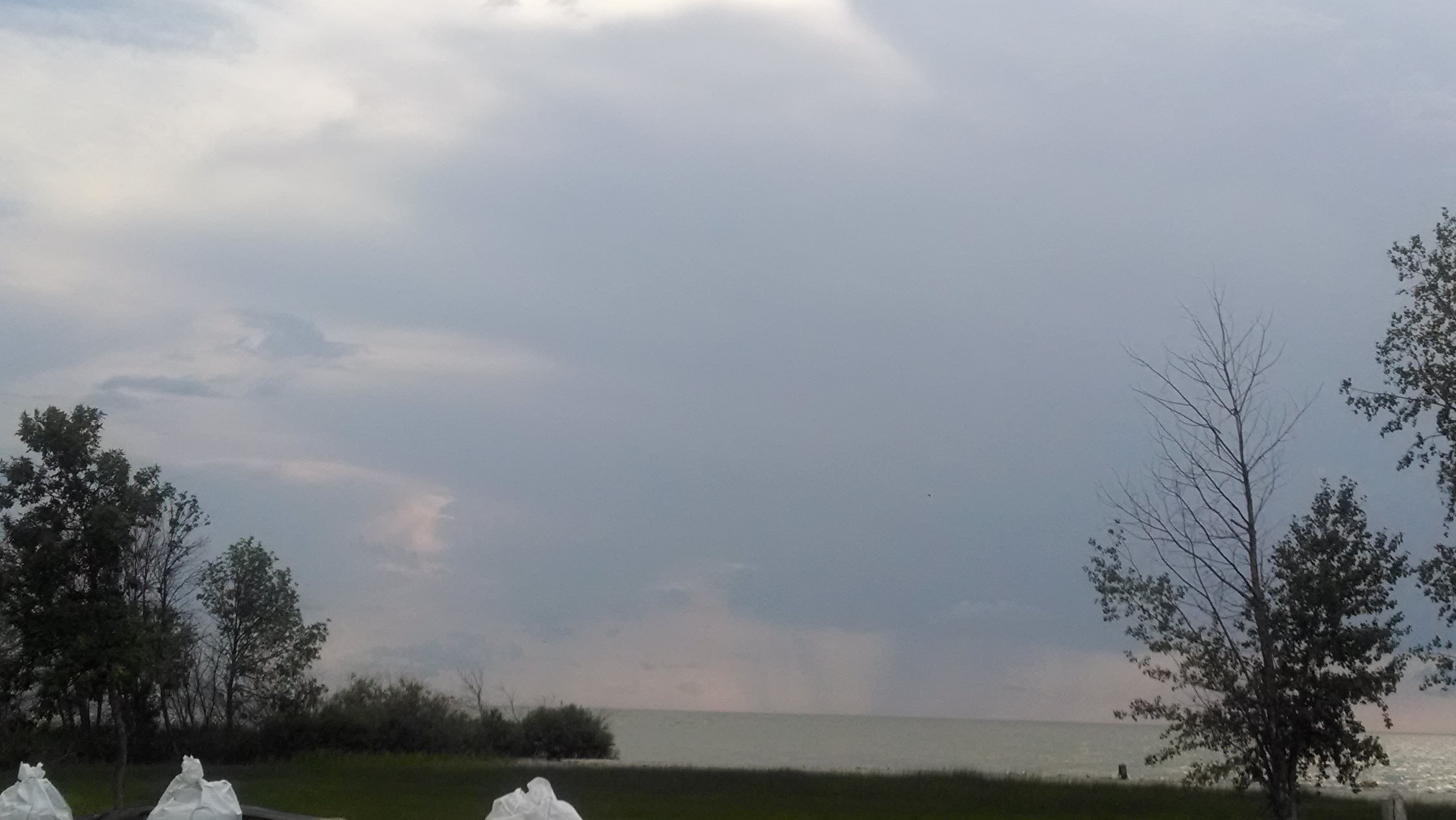
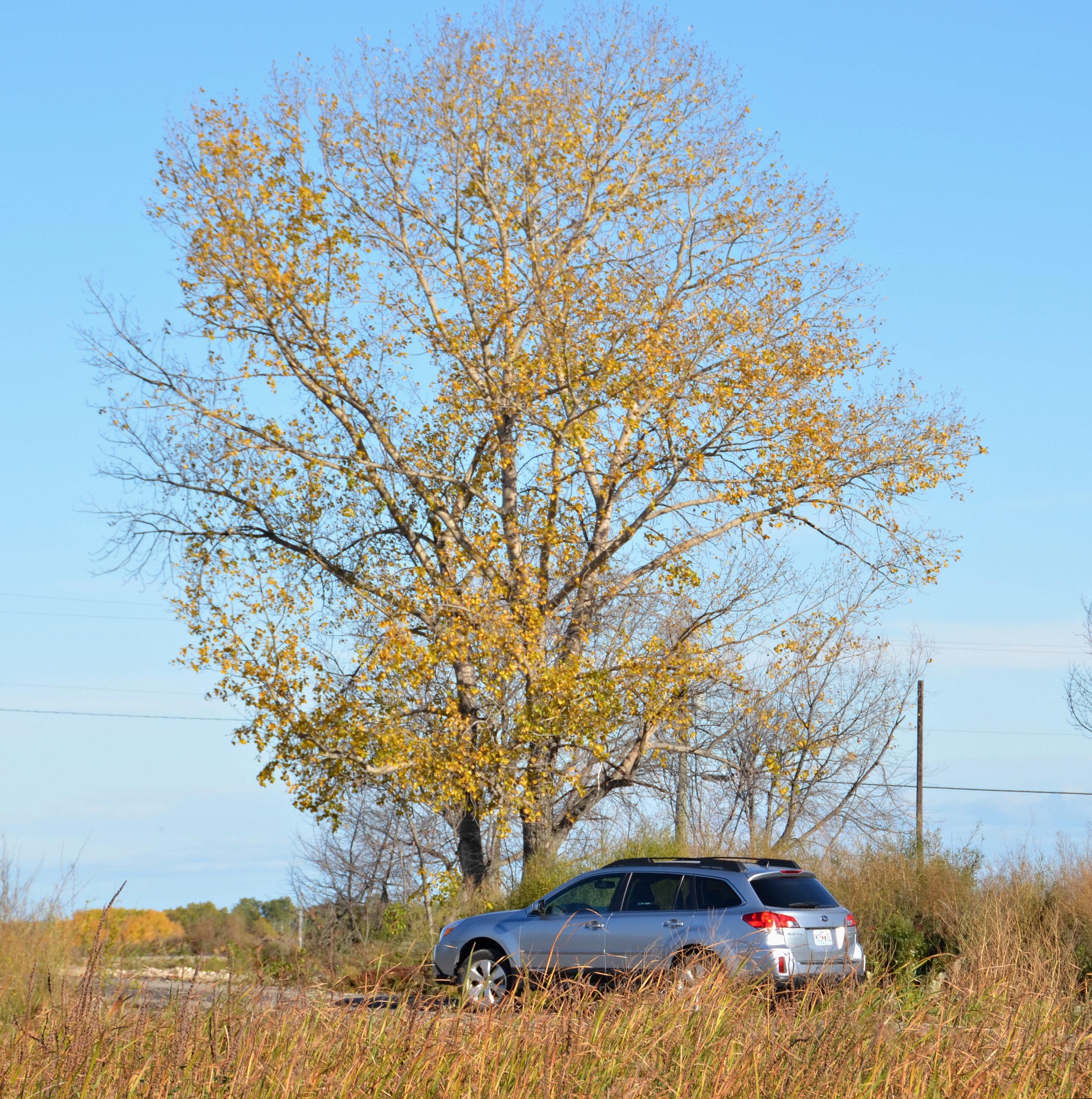
As a prairie thunderstorm approaches.

Besökare Samtidigt
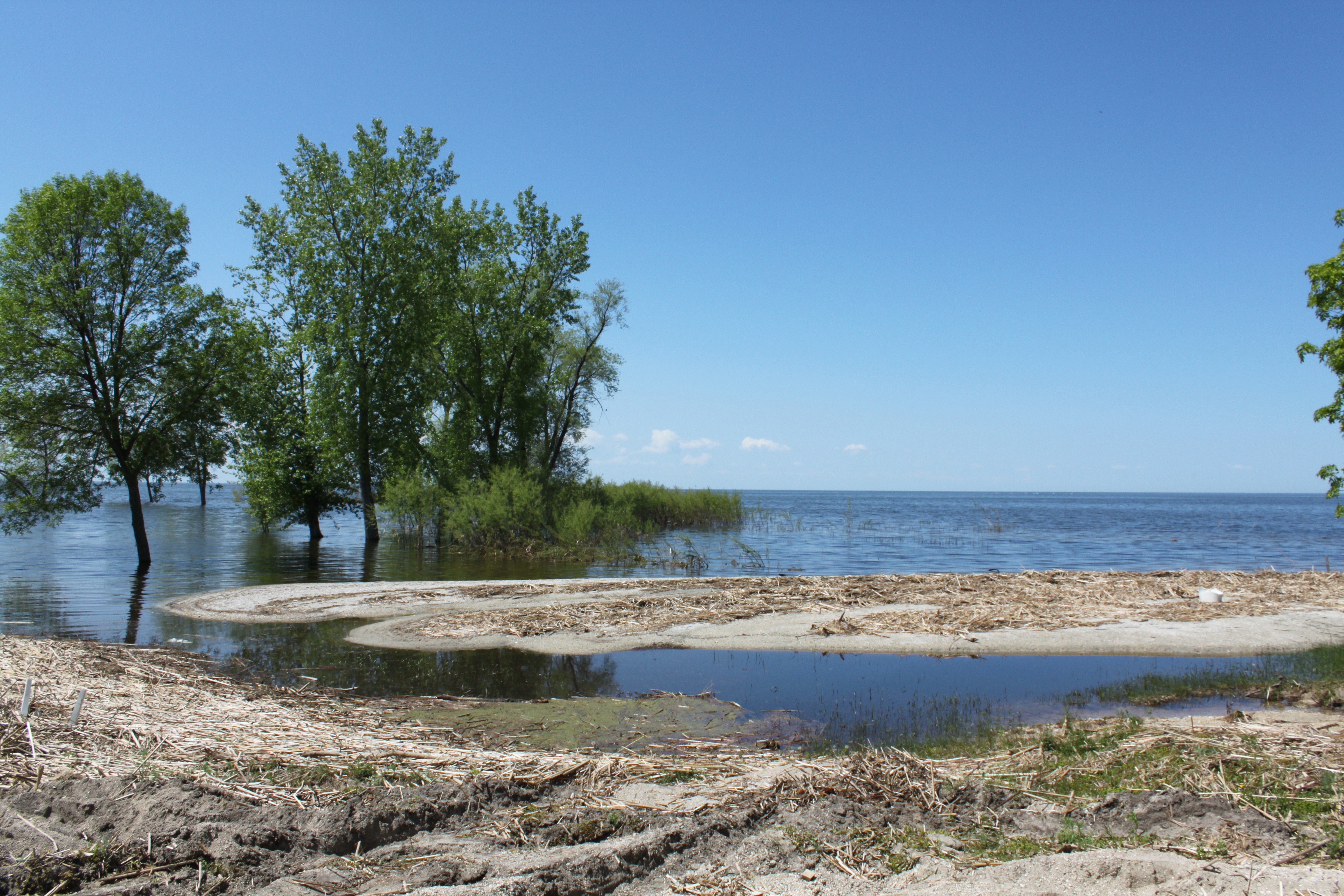
Beach June 11th 2011 024
100513-185F
100513-174F
100513-181F
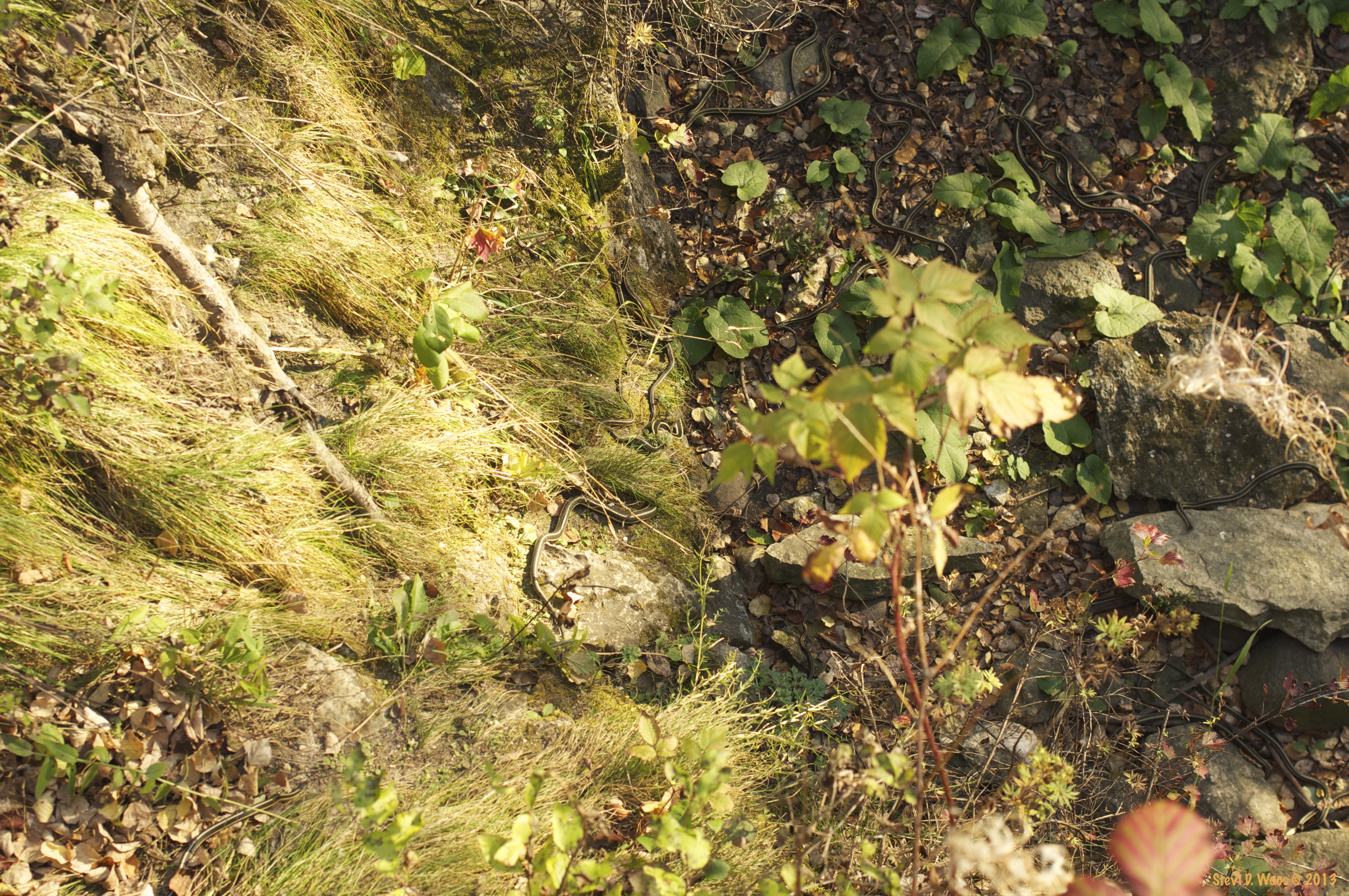
Snakes Alive

What a long day… well a few hours of overtime isn't too shabby (photo)
Topographic Map of St. Laurent, MB, Canada
Find elevation by address:

Places in St. Laurent, MB, Canada:
Places near St. Laurent, MB, Canada:
15 Louis Riel Dr, Oak Point, MB R0C 2J0, Canada
Saint Laurent
Oak Point Vet Memorial Rd, Oak Point, MB R0C 2J0, Canada
Oak Point
Poplar Point
Portage La Prairie
Marquette
High Bluff
Trans-Canada Hwy, Oakville, MB R0H 0Y0, Canada
Oakville
Division No. 9
St. François Xavier
Countess Ave, Portage la Prairie, MB R1N 0T3, Canada
Portage La Prairie
202 Crescent Rd W
MB-, Southport, MB R0H 1N1, Canada
Elie
Division No. 14
Southport
Cartier
Recent Searches:
- Elevation of Corso Fratelli Cairoli, 35, Macerata MC, Italy
- Elevation of Tallevast Rd, Sarasota, FL, USA
- Elevation of 4th St E, Sonoma, CA, USA
- Elevation of Black Hollow Rd, Pennsdale, PA, USA
- Elevation of Oakland Ave, Williamsport, PA, USA
- Elevation of Pedrógão Grande, Portugal
- Elevation of Klee Dr, Martinsburg, WV, USA
- Elevation of Via Roma, Pieranica CR, Italy
- Elevation of Tavkvetili Mountain, Georgia
- Elevation of Hartfords Bluff Cir, Mt Pleasant, SC, USA