Elevation of Division No. 14, MB R0C, Canada
Location: Canada > Manitoba >
Longitude: -97.432267
Latitude: 50.1932571
Elevation: 254m / 833feet
Barometric Pressure: 98KPa
Elevation Map:
Satellite Map:
Related Photos:
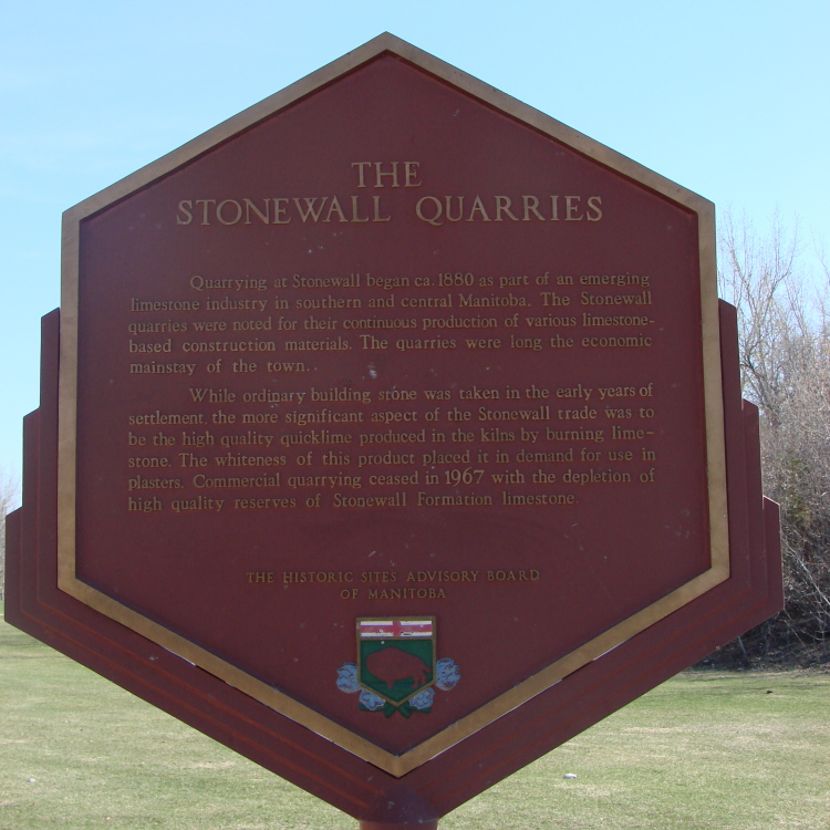
Stonewall Quarry Park

Country barns

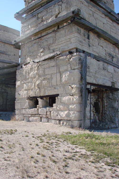
Stonewall Quarry (3) "Draw" Kilns
The Farm
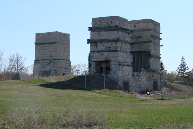
The Three Draw Kilns
Old Kiln #architecture #stonewall #manitoba #canada #pegtecture #quarry #limestone #kiln #limestonekiln

South Interlake Golf Course

Bird close
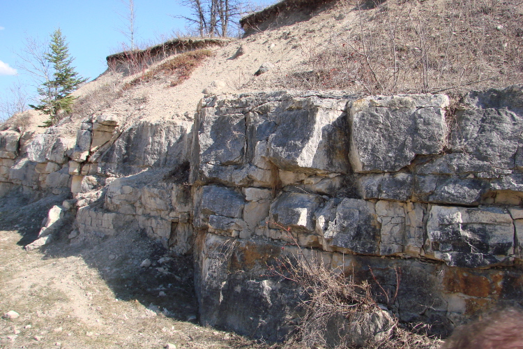
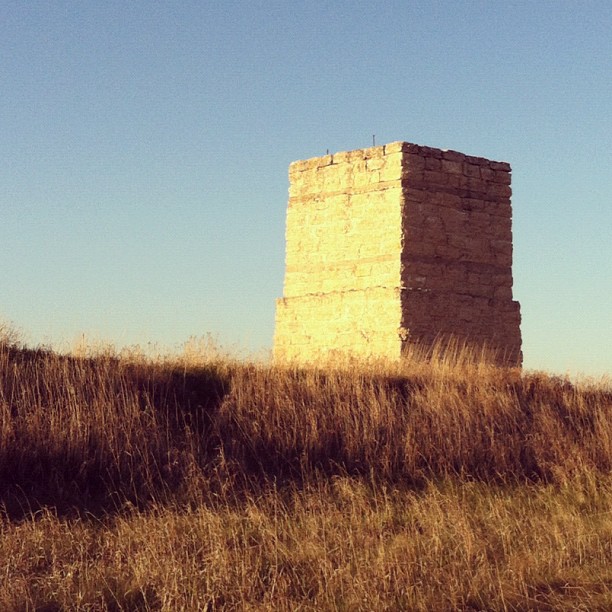
Limestone Butte
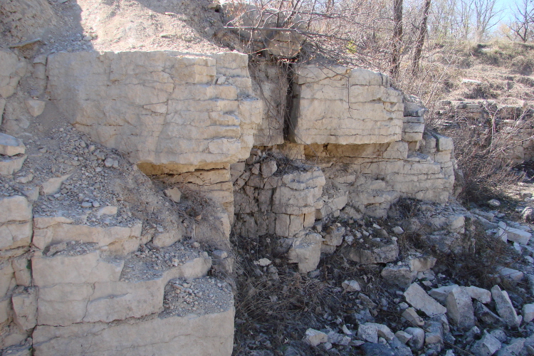
Limestone Wall in Excavation Site
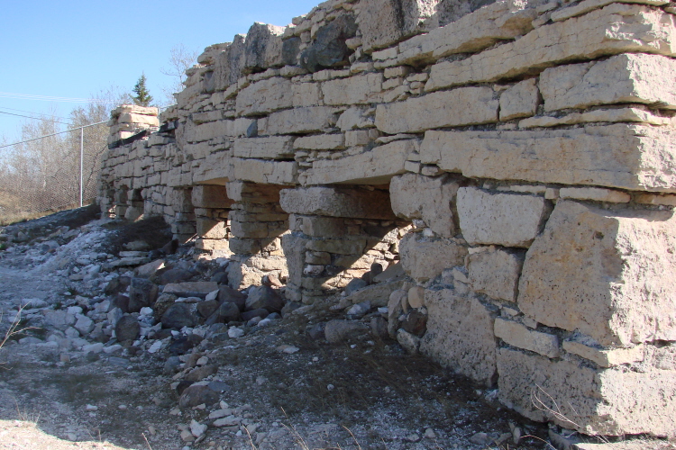
Pot Kilns

Limestone Wall in Excavation Site
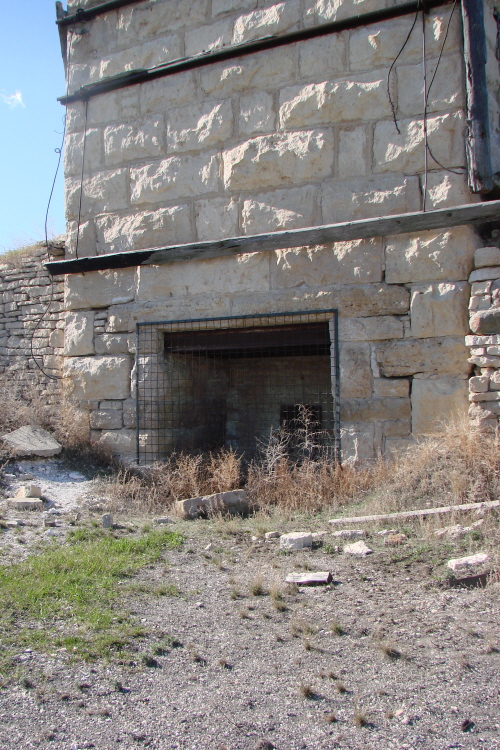
Draw Kiln
Draw Kiln
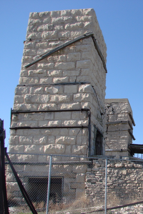
Draw Kiln
???????????? #exploreMB #travelmb #boonstrafarms #canadiancollective
Topographic Map of Division No. 14, MB R0C, Canada
Find elevation by address:

Places in Division No. 14, MB R0C, Canada:
Places near Division No. 14, MB R0C, Canada:
Stonewall
64 Prairie Dog Trail, Grosse Isle, MB R0C 1G0, Canada
Rockwood
7 Alfred St
7 Alfred St
Stony Mountain
23 Main St, Stony Mountain, MB R0C 3A0, Canada
Cement Cemetery
Pigeon Lake
Saint François Xavier
St. François Xavier
Headingley
240 Lumsden Ave
13 Lumsden Ave
13 Lumsden Ave
36 Minic Rd
Marquette
Morgan Crescent, Winnipeg, MB R2Y 0E2, Canada
Crestview
362 Gagnon St
Recent Searches:
- Elevation of Corso Fratelli Cairoli, 35, Macerata MC, Italy
- Elevation of Tallevast Rd, Sarasota, FL, USA
- Elevation of 4th St E, Sonoma, CA, USA
- Elevation of Black Hollow Rd, Pennsdale, PA, USA
- Elevation of Oakland Ave, Williamsport, PA, USA
- Elevation of Pedrógão Grande, Portugal
- Elevation of Klee Dr, Martinsburg, WV, USA
- Elevation of Via Roma, Pieranica CR, Italy
- Elevation of Tavkvetili Mountain, Georgia
- Elevation of Hartfords Bluff Cir, Mt Pleasant, SC, USA