Elevation of Elie, MB R0H, Canada
Location: Canada > Manitoba > Division No. 10 > Cartier >
Longitude: -97.759202
Latitude: 49.9035164
Elevation: 240m / 787feet
Barometric Pressure: 98KPa
Elevation Map:
Satellite Map:
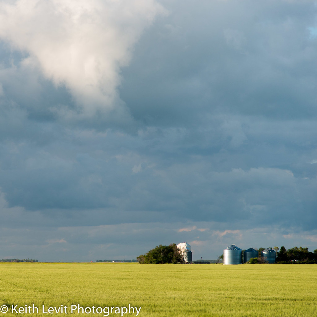
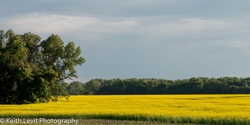
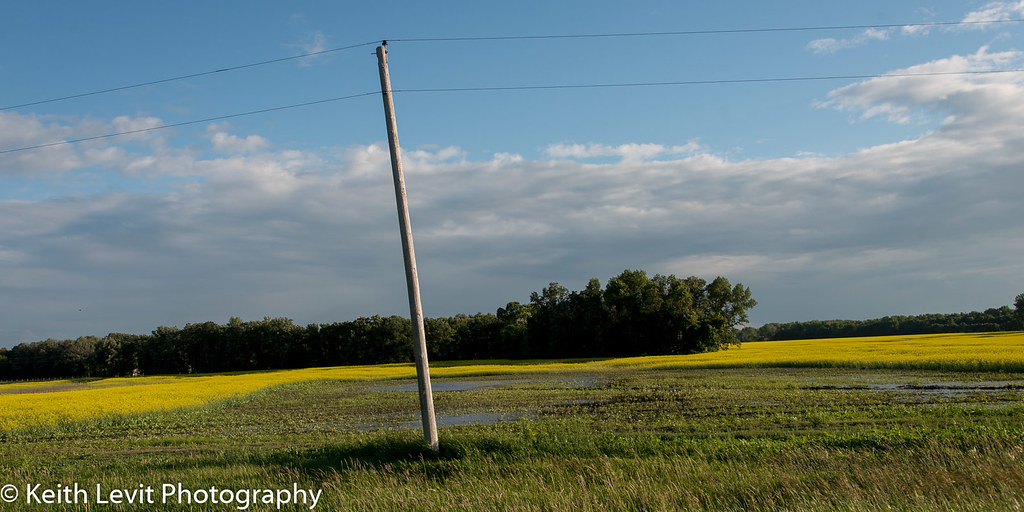
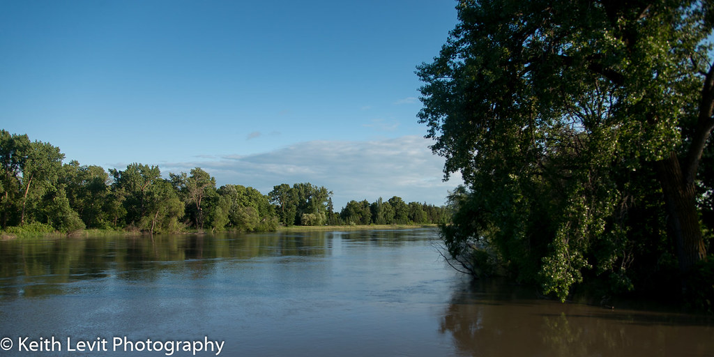
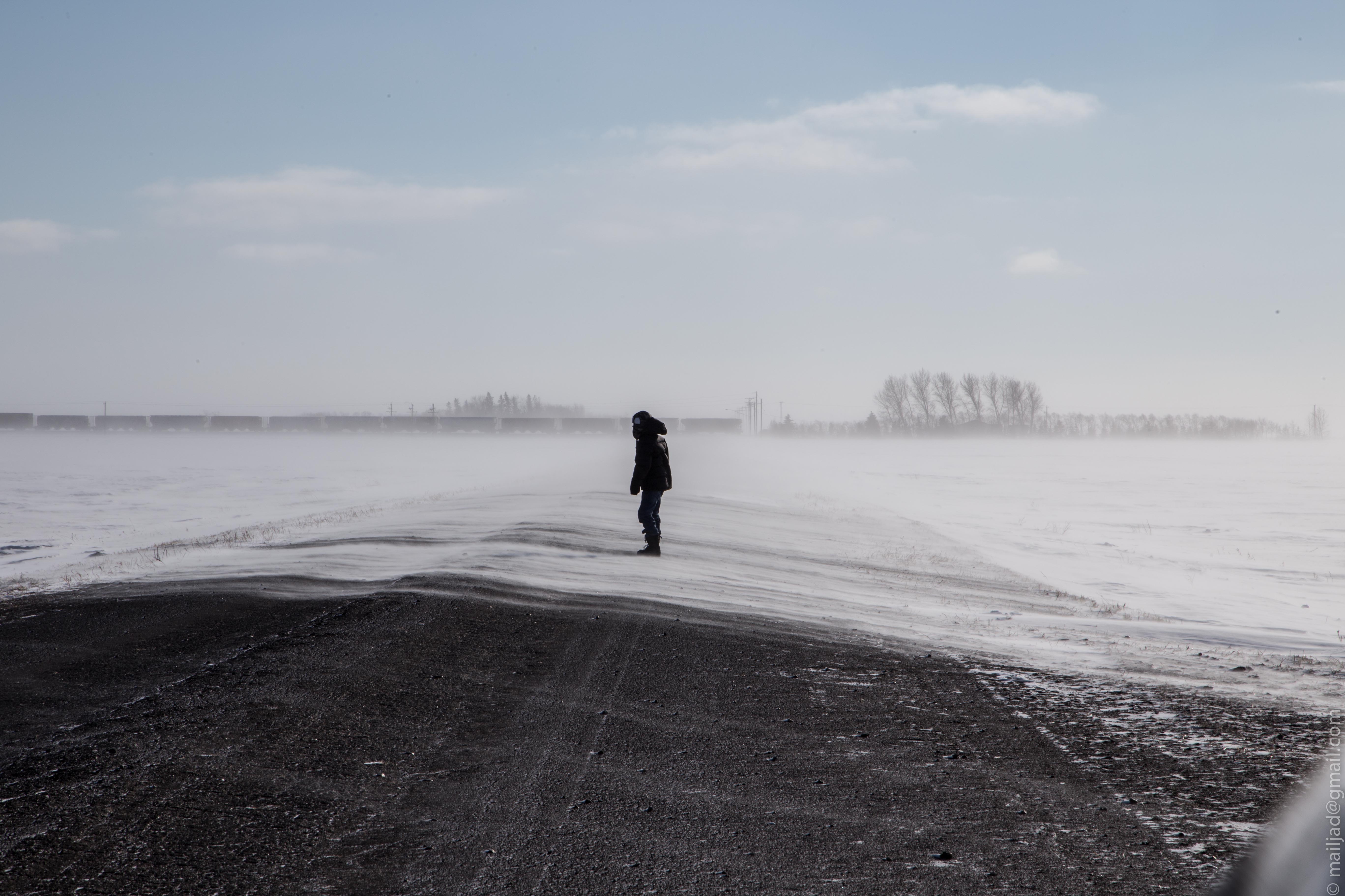
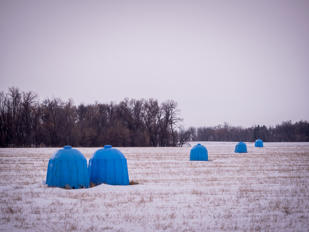
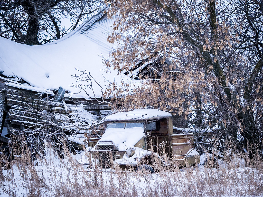
Related Photos:
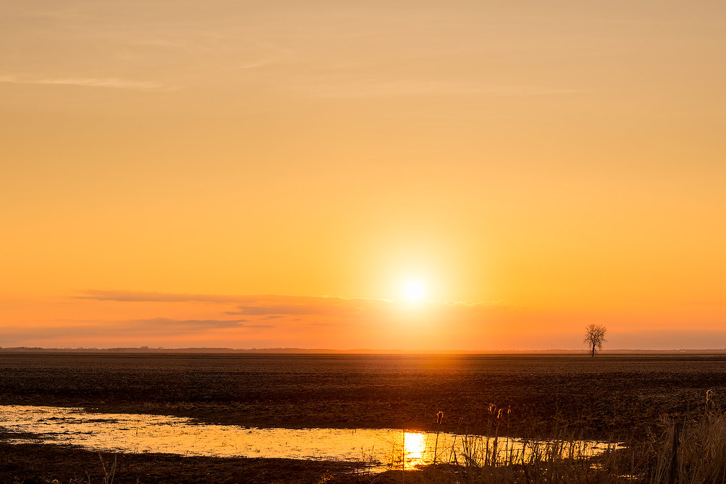
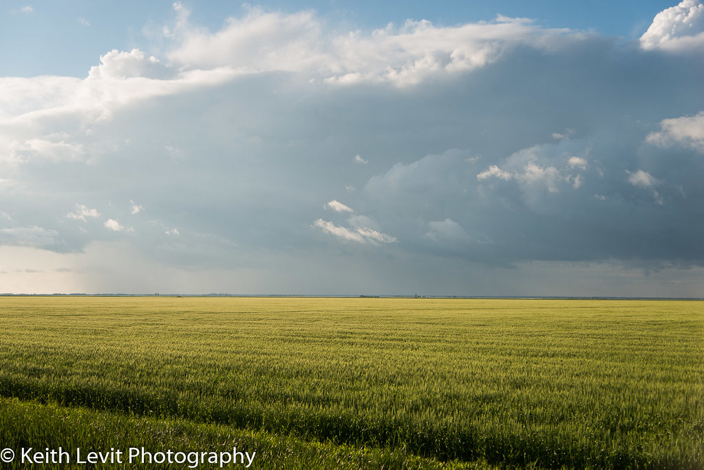
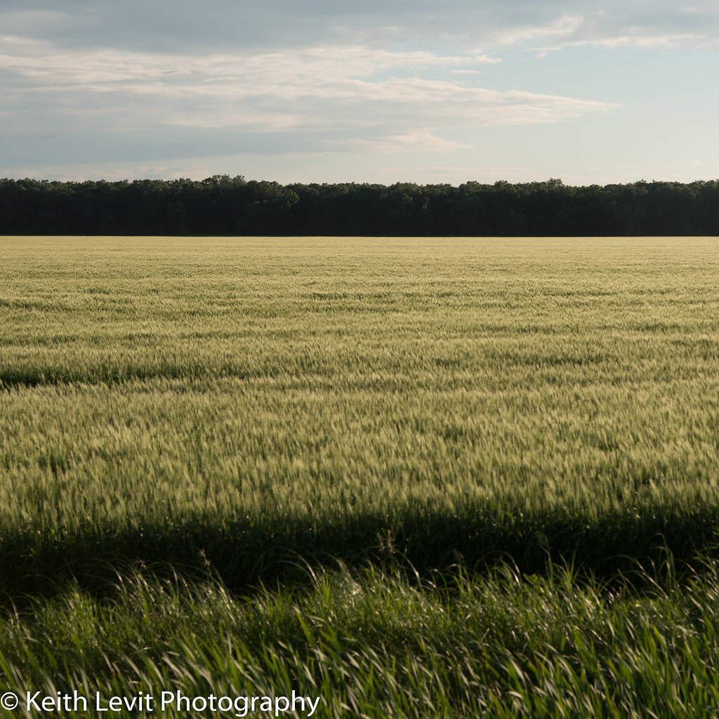
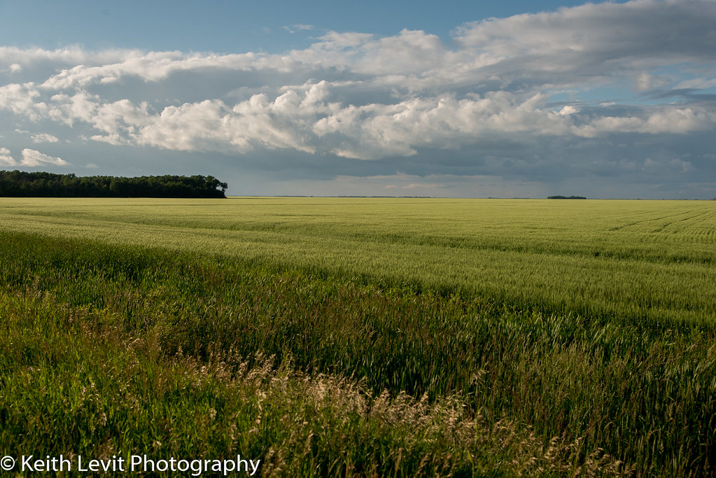
Flatland Madness
DSC_1240.jpg
DSC_1216.jpg
DSC_1218.jpg
DSC_1237.jpg

DSC_1223.jpg
DSC_1221.jpg
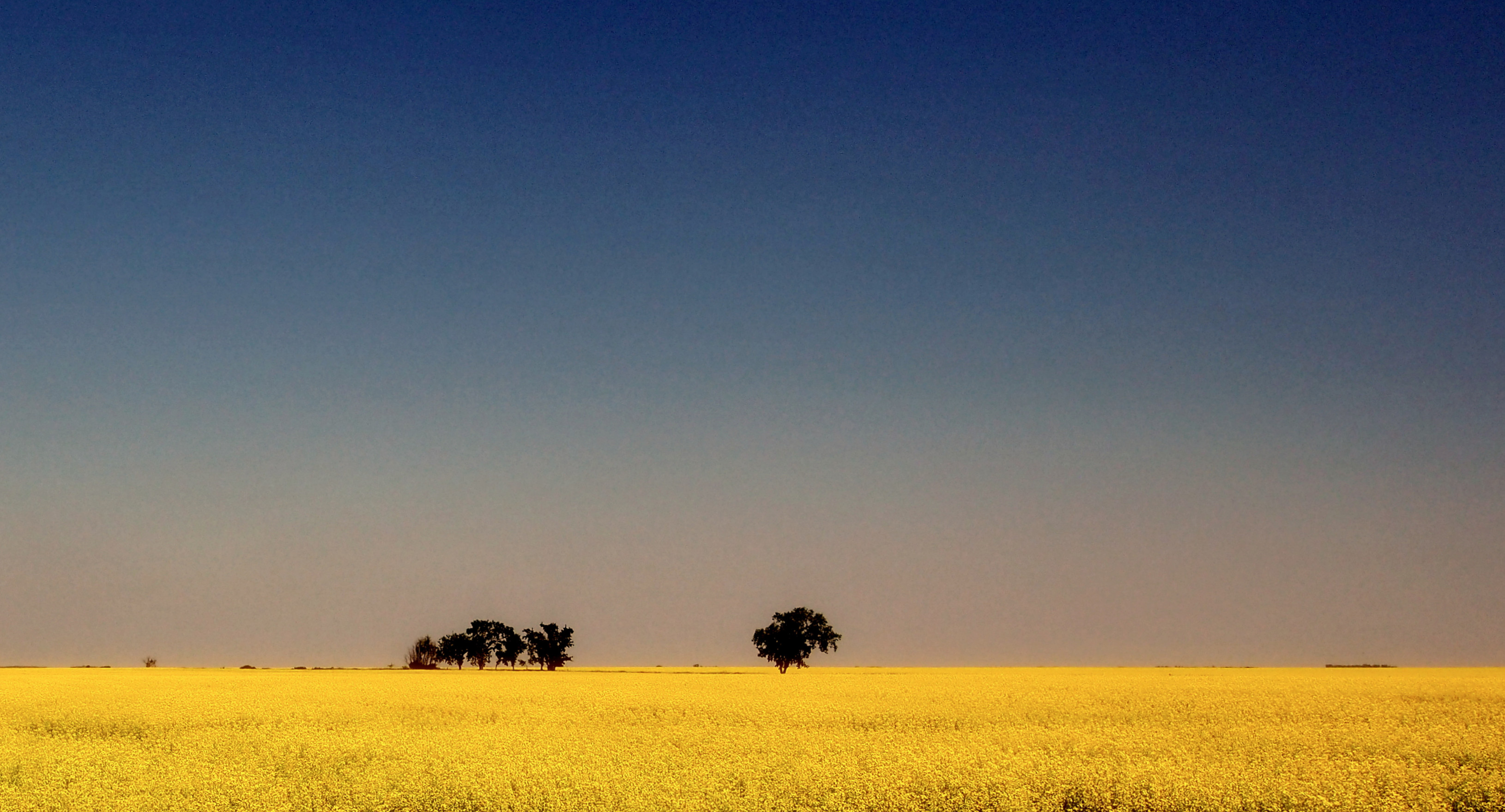
Canola field.
IMG_0965 YWG.jpg
DSC_1222.jpg
IMG_0959 YWG.jpg
IMG_0972 YWG.jpg
DSC_1214.jpg
DSC_1249.jpg
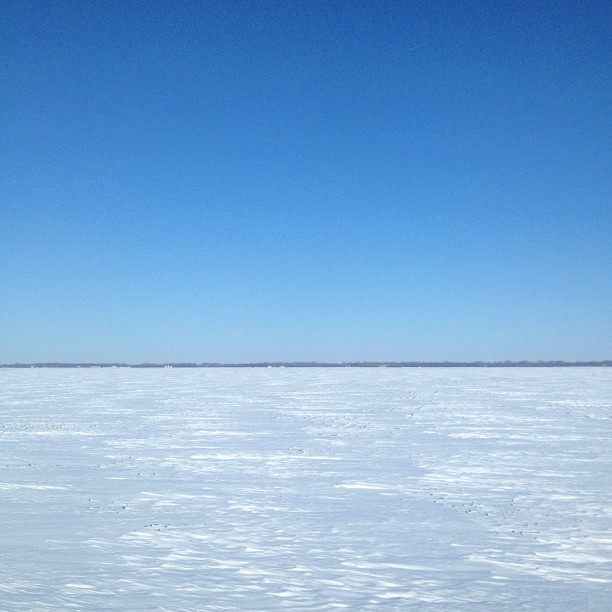
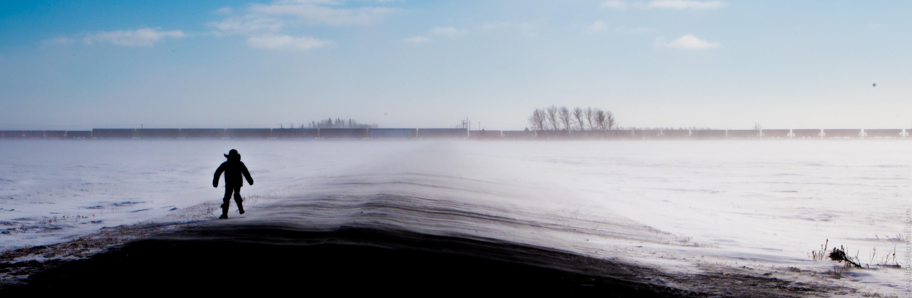
Blinding Brilliance

IMG_0955 YWG.jpg
IMG_0968 YWG.jpg
VP170025.jpg
VP170017.jpg
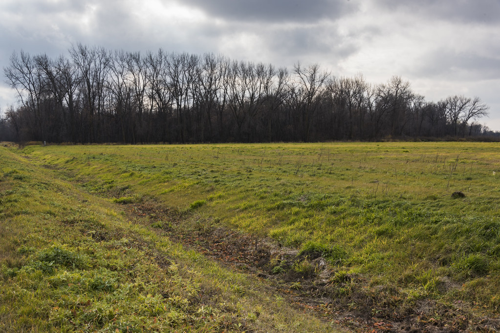
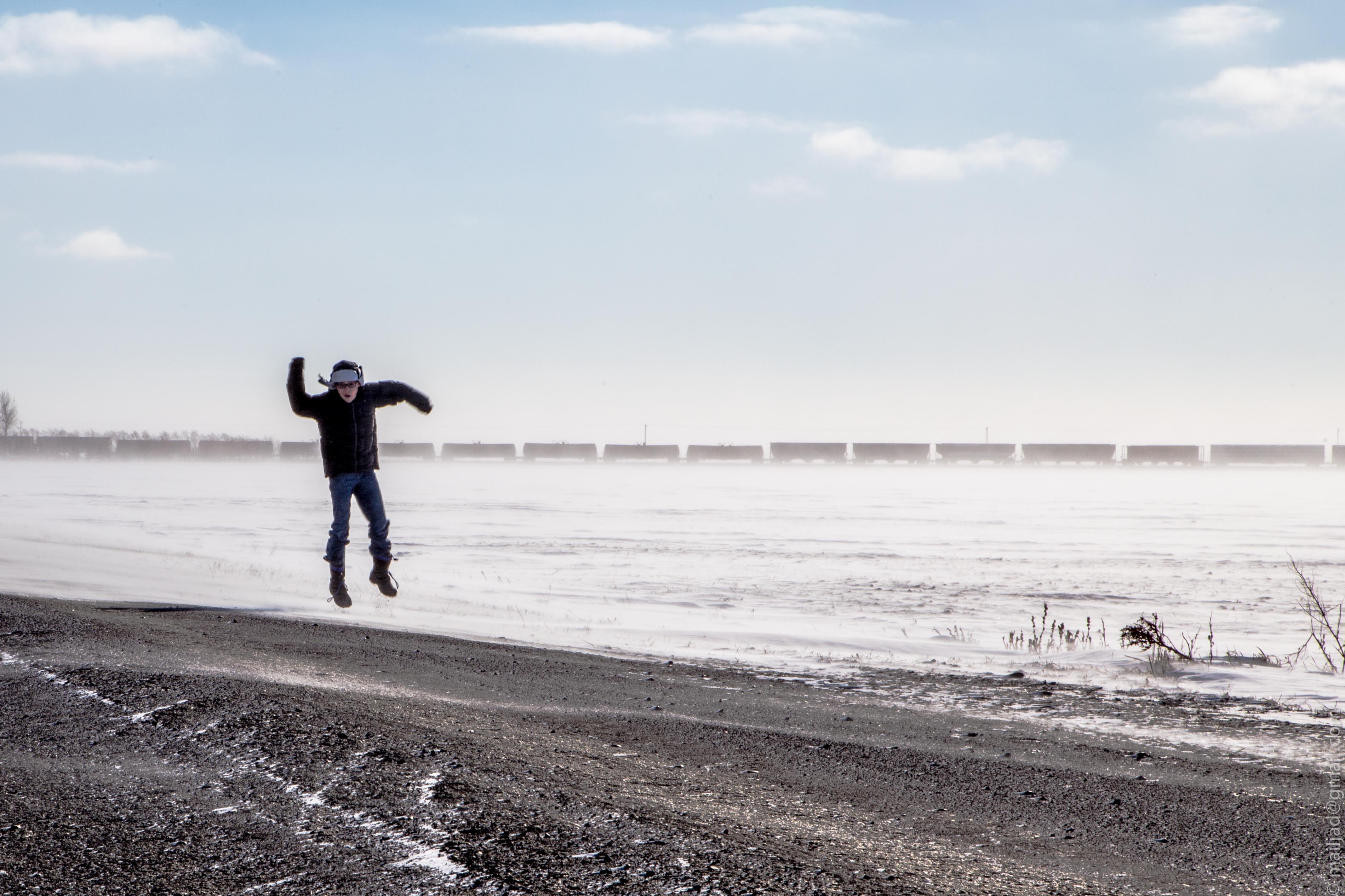
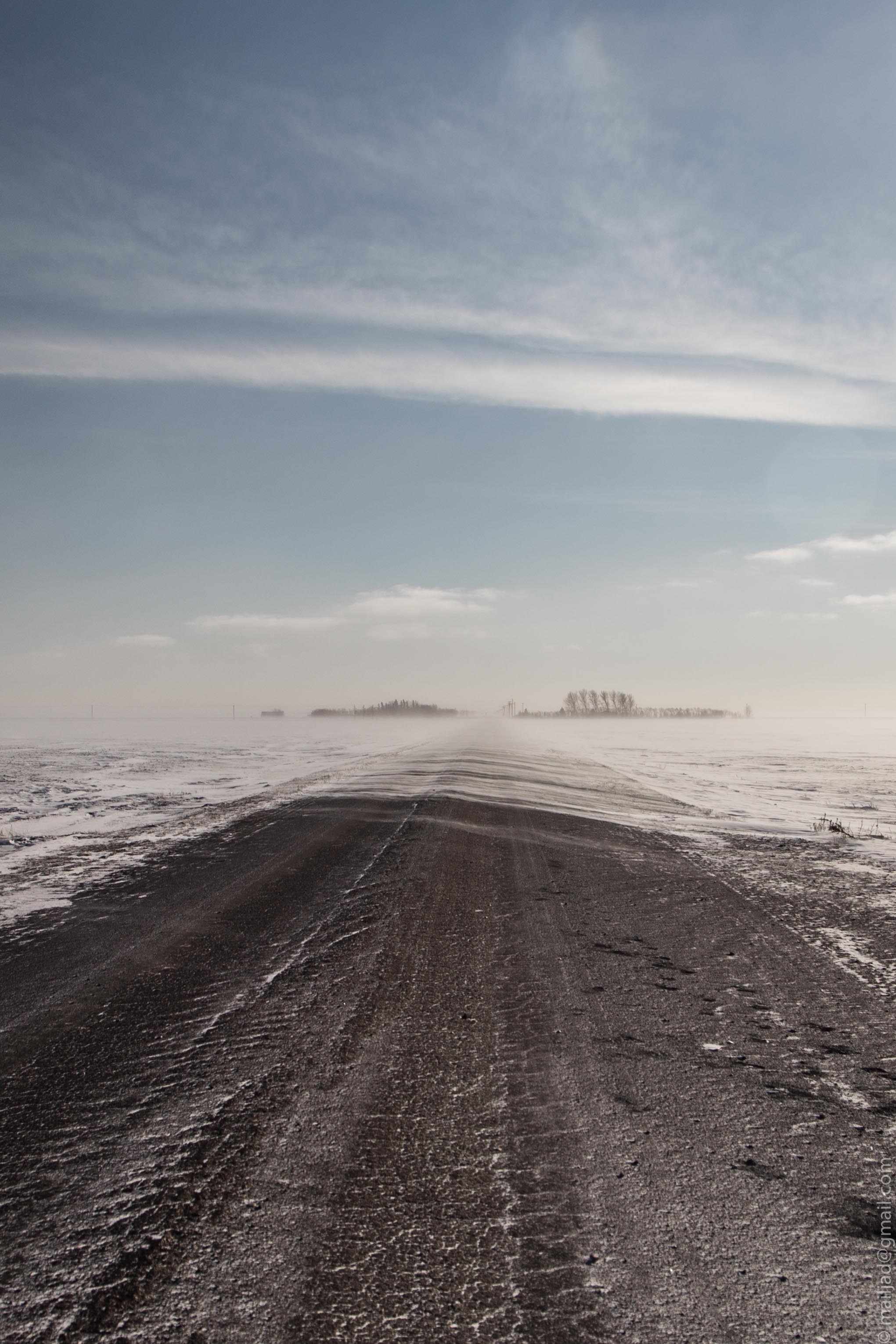
Manitoba late autumn
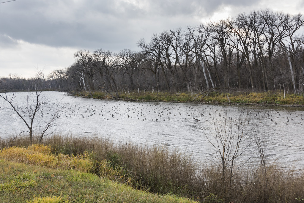
Manitoba late autumn
Topographic Map of Elie, MB R0H, Canada
Find elevation by address:

Places near Elie, MB R0H, Canada:
Cartier
St. François Xavier
Fannystelle
Marquette
Pigeon Lake
Trans-Canada Hwy, Oakville, MB R0H 0Y0, Canada
Starbuck
Saint François Xavier
Railway St, Elm Creek, MB R0G 0N0, Canada
Oakville
Poplar Point
Elm Creek
Macdonald
Division No. 10
Headingley
64 Prairie Dog Trail, Grosse Isle, MB R0C 1G0, Canada
17 Railway Ave
Brunkild
Sanford
High Bluff
Recent Searches:
- Elevation of Corso Fratelli Cairoli, 35, Macerata MC, Italy
- Elevation of Tallevast Rd, Sarasota, FL, USA
- Elevation of 4th St E, Sonoma, CA, USA
- Elevation of Black Hollow Rd, Pennsdale, PA, USA
- Elevation of Oakland Ave, Williamsport, PA, USA
- Elevation of Pedrógão Grande, Portugal
- Elevation of Klee Dr, Martinsburg, WV, USA
- Elevation of Via Roma, Pieranica CR, Italy
- Elevation of Tavkvetili Mountain, Georgia
- Elevation of Hartfords Bluff Cir, Mt Pleasant, SC, USA