Elevation of St Clair County 31, Springville, AL, USA

Location: United States > Alabama > St. Clair County > Springville >

Longitude: -86.383376

Latitude: 33.8199313

Elevation: 181m / 594feet

Barometric Pressure: 99KPa

Elevation Map:

elevation map of St Clair County 31, Springville, AL, USA

Satellite Map:

Satellite map of St Clair County 31, Springville, AL, USA

Related Photos:

playground geotagged rust lock tennis sigma70300mmf456apomacrosuperii
You Put It On Wrong.
playground geotagged tennis sigma2870mmf284highspeedzoom
The Net Has Somewhat Decayed.
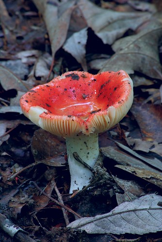
mushroom rain hike fungus hdr
Toad's Bowl
playground balls tennis sigma2870mmf284highspeedzoom
3 is a crowd.
playground geotagged christopher tennis sigma2870mmf284highspeedzoom
Playing Doubles.
playground swing tennis sigma70300mmf456apomacrosuperii
Play With Me.
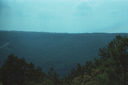
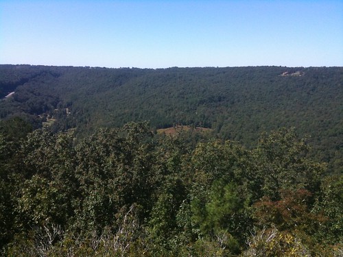
trees nature parks horsepens40 scenicviews stateofalabama alabamalandmarks stclaircountyalabama steelealabama formatfilm35mmnegative alabamacountystclair alabamasteel blountmountain cameracanonae1program2067283 year1982pictures
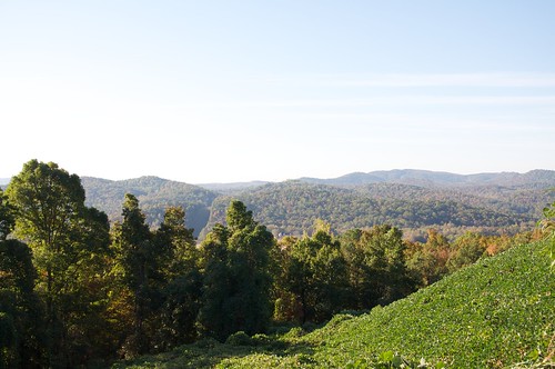
Horse Pens 40 Scenic Overlook / P1982-0905A037-29
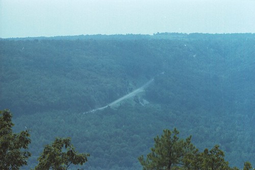
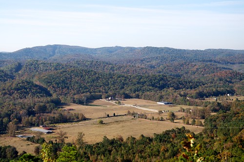
parks horsepens40 scenicviews stateofalabama ushighway231 alabamalandmarks stclaircountyalabama steelealabama formatfilm35mmnegative alabamacountystclair alabamasteel blountmountain cameracanonae1program2067283 year1982pictures
U.S. Highway 231 & Blount Mountain / P1982-0905A037-19
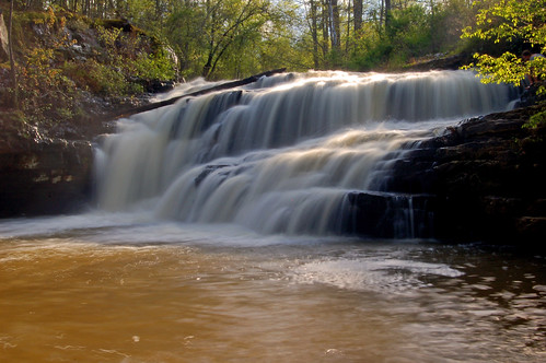
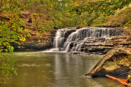
water creek waterfall alabama whitney ashville stclaircounty loriwalden flossyfalls
Flossy Falls
waterfall nikond50 hdr alabamawaterfalls ashevillealabama loriwalden flossyfalls stclairecounty rockcrusherfalls
Flossy Falls
horsepens40
IMG_0503.JPG
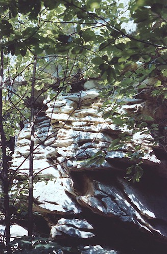
trees nature parks geology horsepens40 stateofalabama alabamalandmarks stclaircountyalabama steelealabama formatfilm35mmnegative alabamacountystclair alabamasteel cameracanonae1program2067283 year1982pictures
Horse Pens 40 / P1982-0905A037-05
d5000
Murphaee Valley Rd
mountain ecology creek river landscape photography blog spring birmingham scenery stream hiking alabama conservation run science backpacking tuscaloosa rivers biology blount watercress herpetology springville universityofalabama bigcanoe waltersmith wallysmith walterhsmith
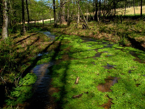
Spring run, tributary of Big Canoe Creek, St. Clair Co., Alabama
trees ecology field creek forest blog big birmingham stream alabama conservation canoe tuscaloosa biology herpetology springville universityofalabama waltersmith wallysmith walterhsmith
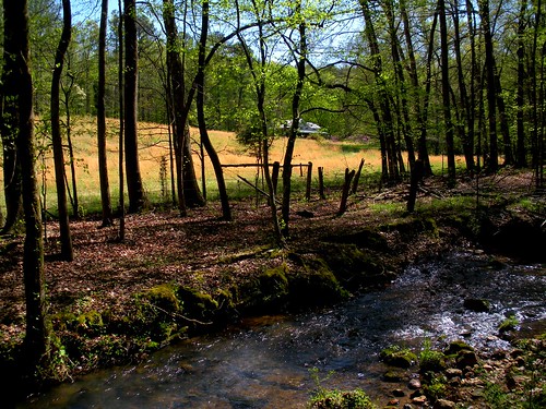
Cole Property, Big Canoe Creek Tributary, St. Clair Co., AL
d5000
Murphaee Valley Rd
ecology landscape photography blog birmingham stream hiking wildlife alabama conservation amphibian salamander backpacking tuscaloosa eggs biology herpetology springville universityofalabama waltersmith eggmass wallysmith eurycea twolined cirrigera bislineata walterhsmith
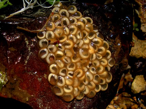
Eurycea cirrigera egg mass, Big Canoe Creek Tributary, St. Clair Co., Alabama