Elevation of County Hwy 29, Oneonta, AL, USA
Location: United States > Alabama > Blount County > Oneonta >
Longitude: -86.394994
Latitude: 33.876803
Elevation: 342m / 1122feet
Barometric Pressure: 97KPa
Elevation Map:
Satellite Map:
Related Photos:

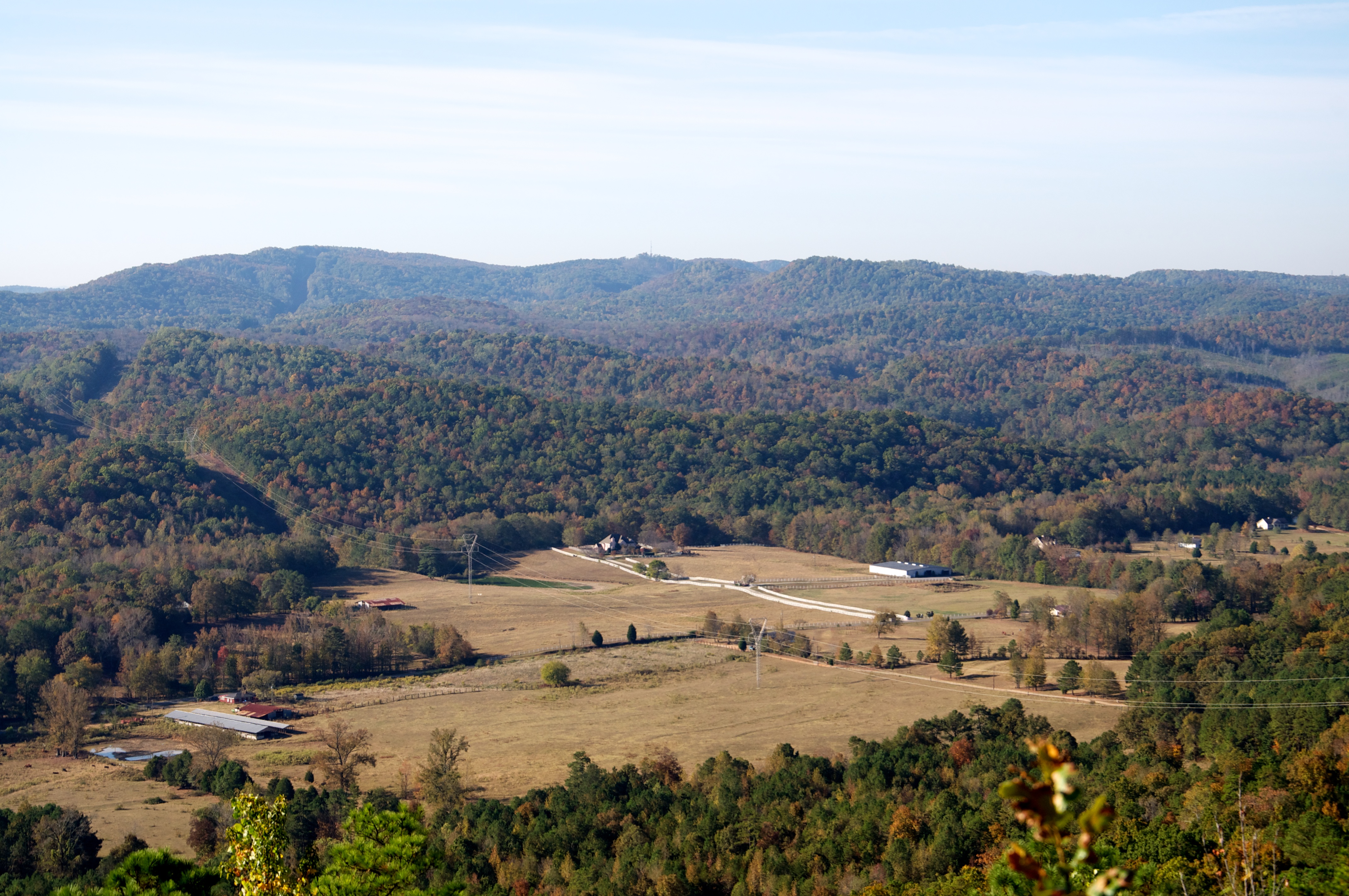
Fairway Sunrise View,

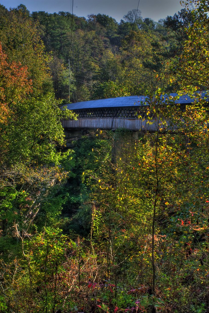
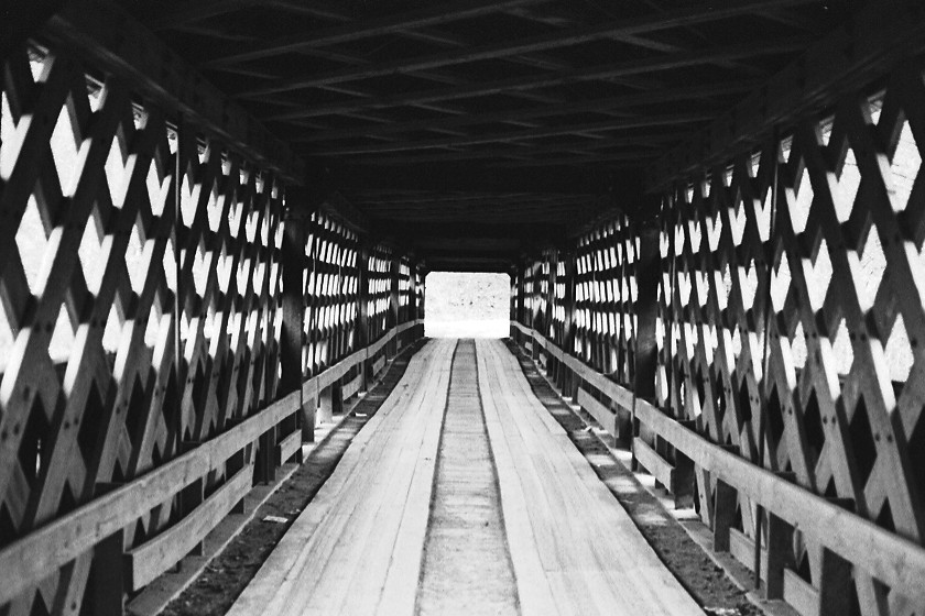
Upstream view of the Horton Mill covered bridge.

Puddles with a view

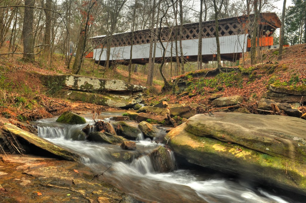
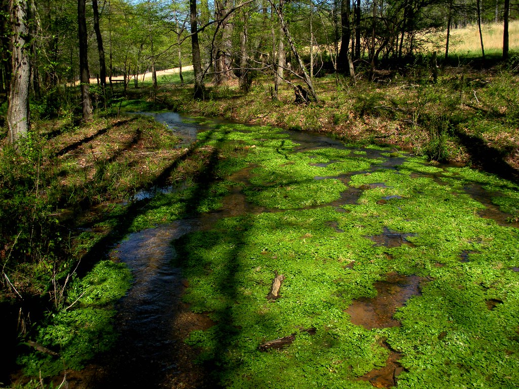
Fall Stream
Taking this photo is hazardous to your health.
Beaver's View
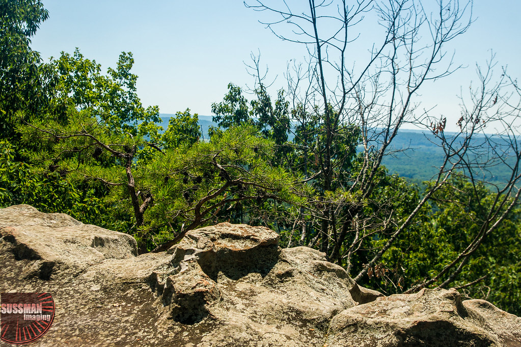
View from Palisades Park
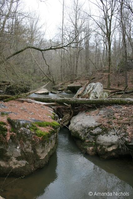
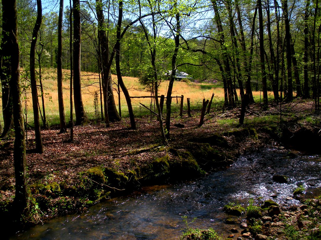
Stream View
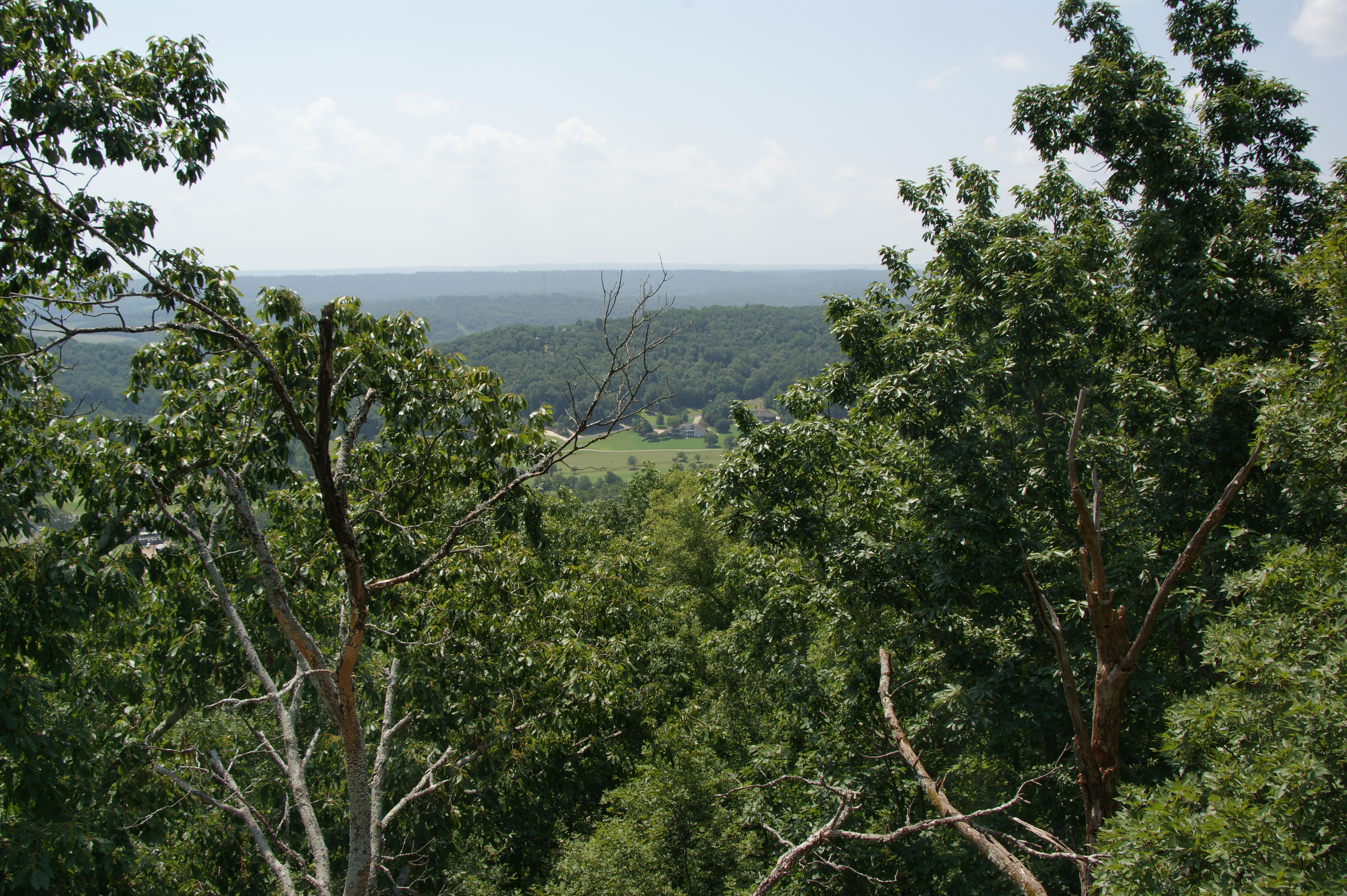
Through the Trees
Horton Mill Covered Bridge / P1983-0213a057-25
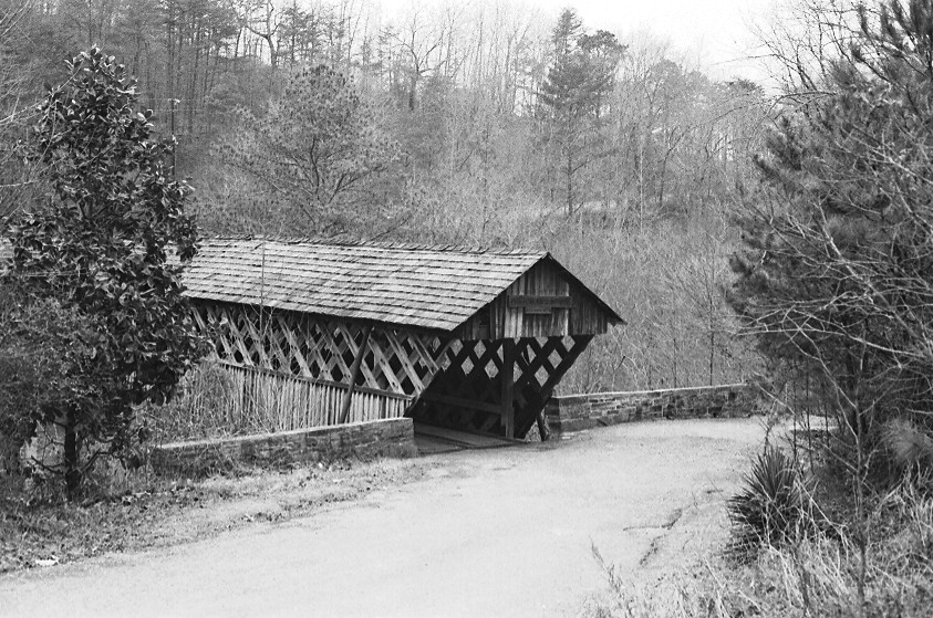
Horton Mill Covered Bridge / P1983-0213a057-28
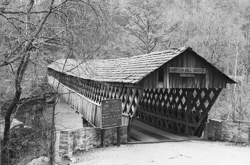
Horton Mill Covered Bridge / P1983-0213a057-24
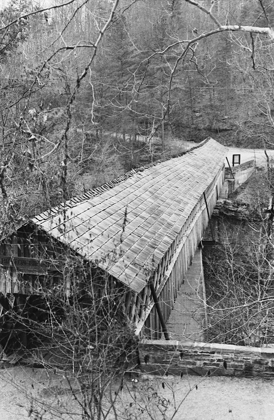
Horton Mill Covered Bridge / P1983-0213a057-27

Horse Pens 40 Scenic Overlook / P1982-0905A037-29
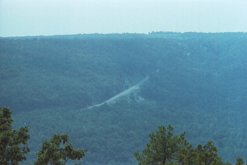
U.S. Highway 231 & Blount Mountain / P1982-0905A037-19
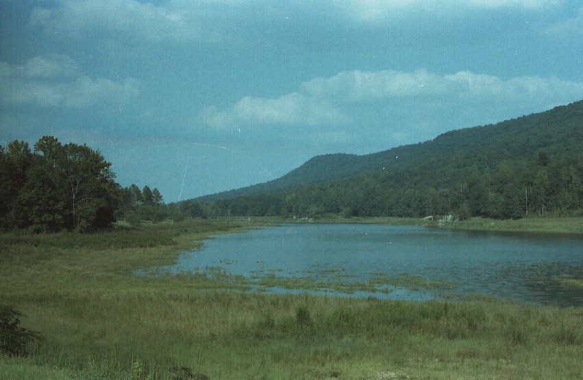
Lake Sumatanga / P1982-0905A037-33

You Put It On Wrong.

The Net Has Somewhat Decayed.

Playing Doubles.

Play With Me.

3 is a crowd.
Easley Bridge

Calvert Prong of Little Warrior River

Heritage Golf Course Clubhouse

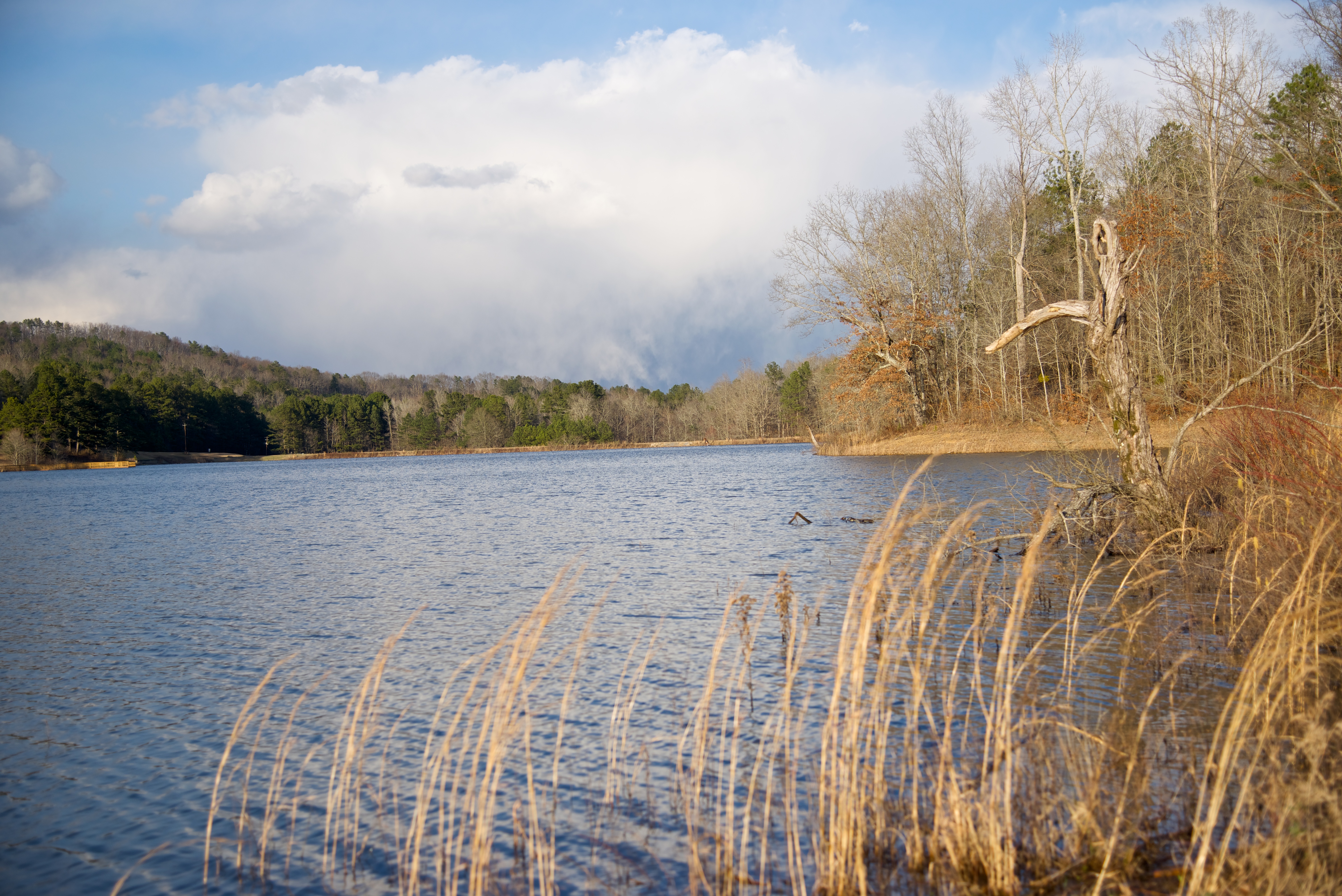
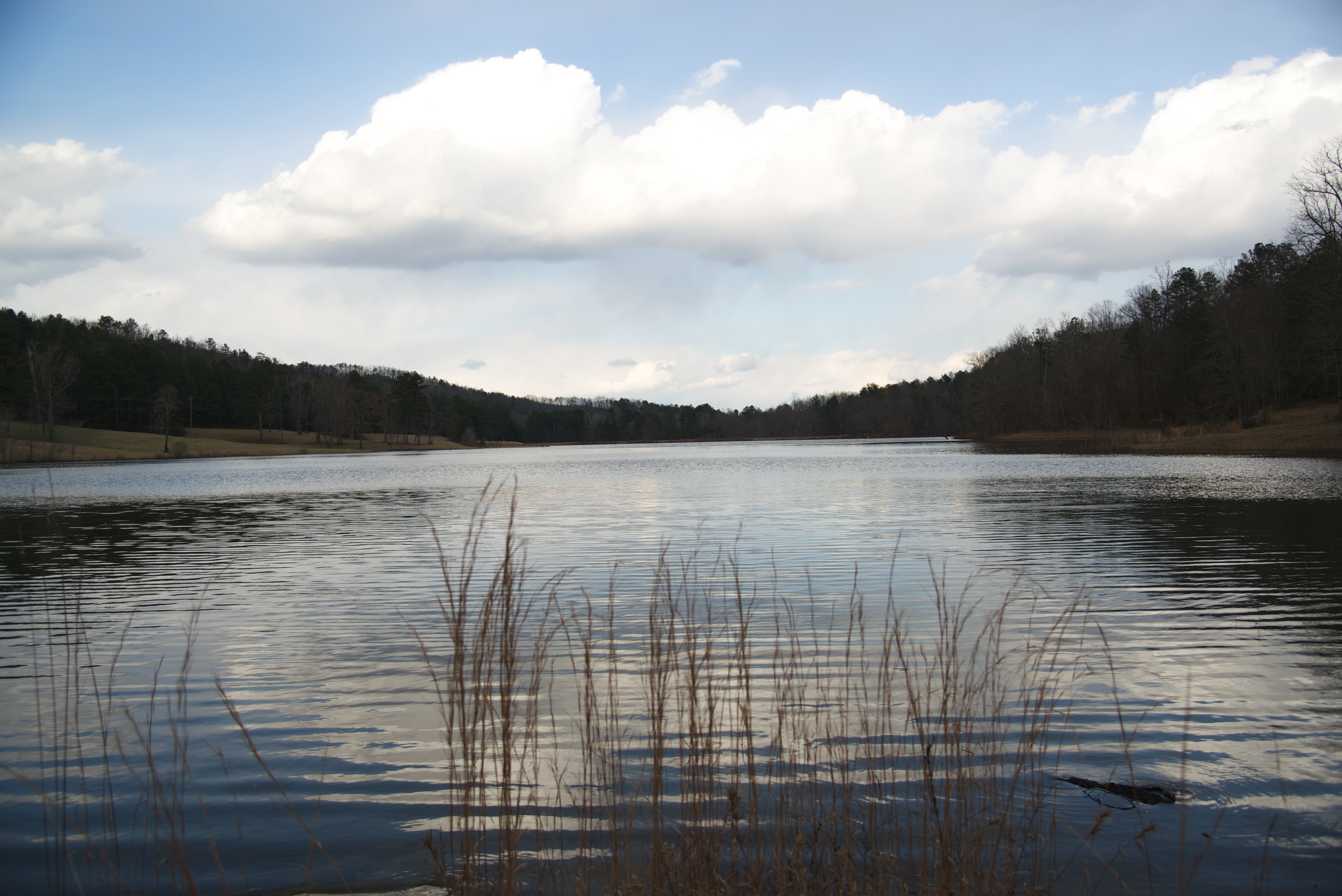
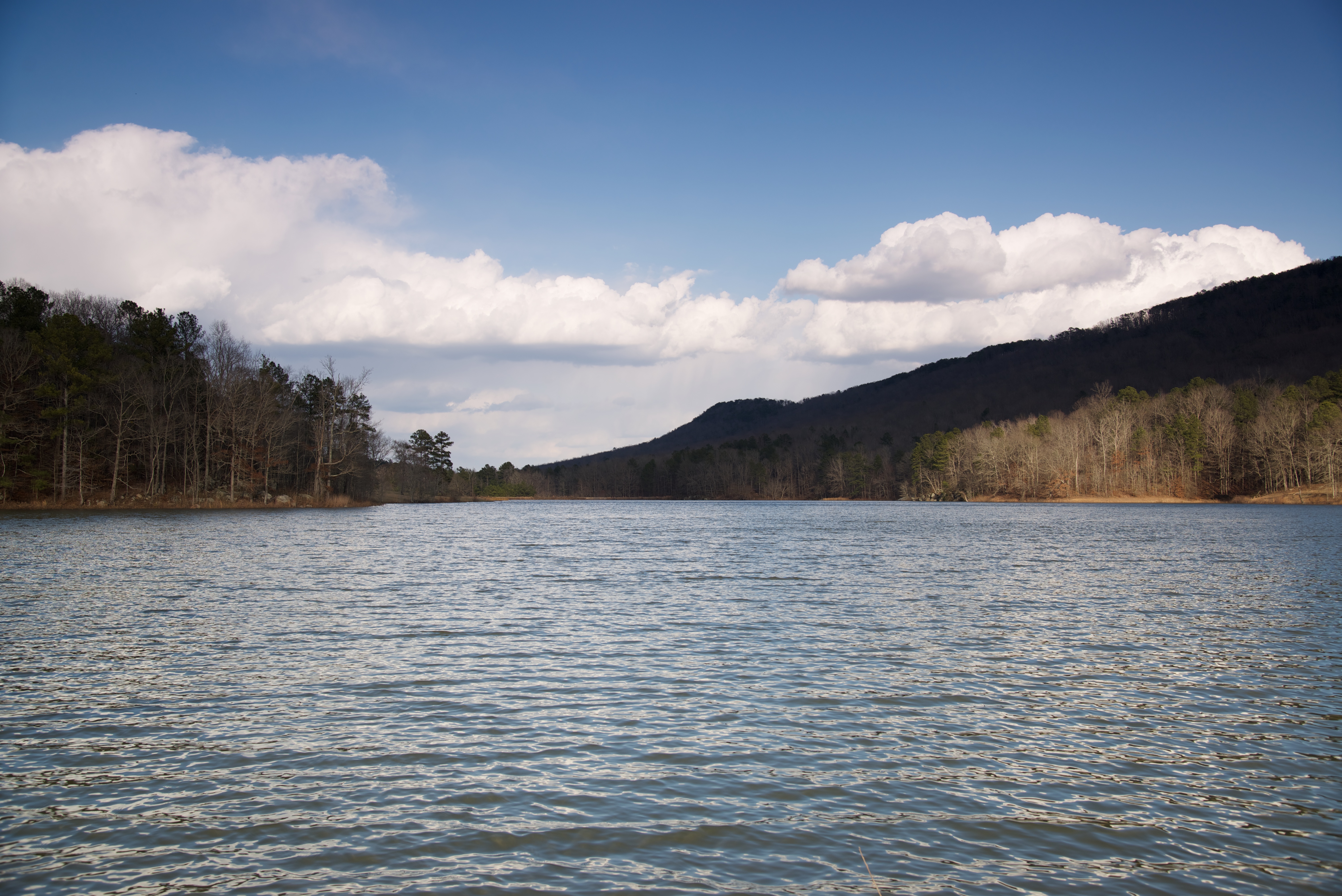
Lake Sumatanga
Murphaee Valley Rd
Spring run, tributary of Big Canoe Creek, St. Clair Co., Alabama
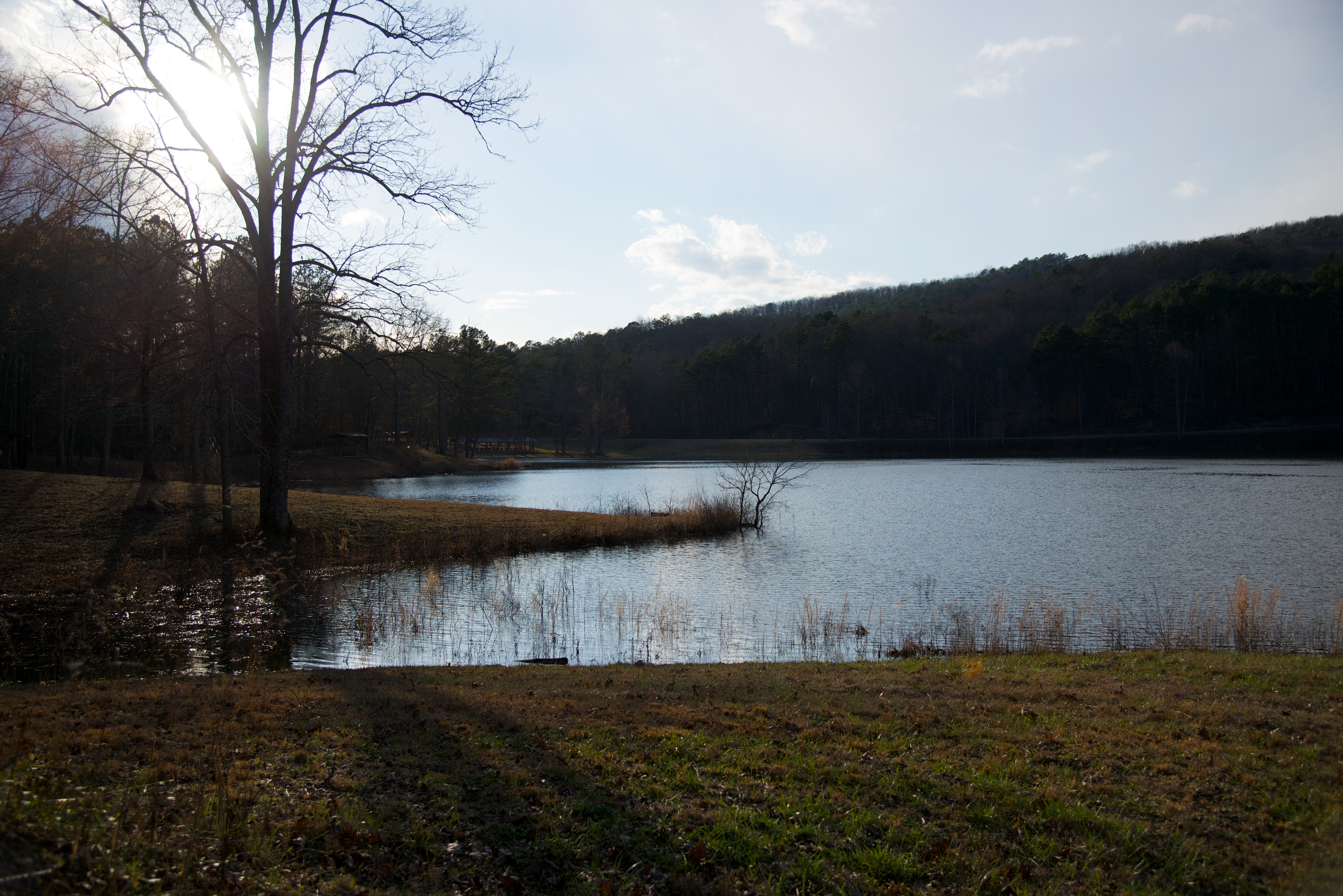
Lake Sumatanga
Cole Property, Big Canoe Creek Tributary, St. Clair Co., AL
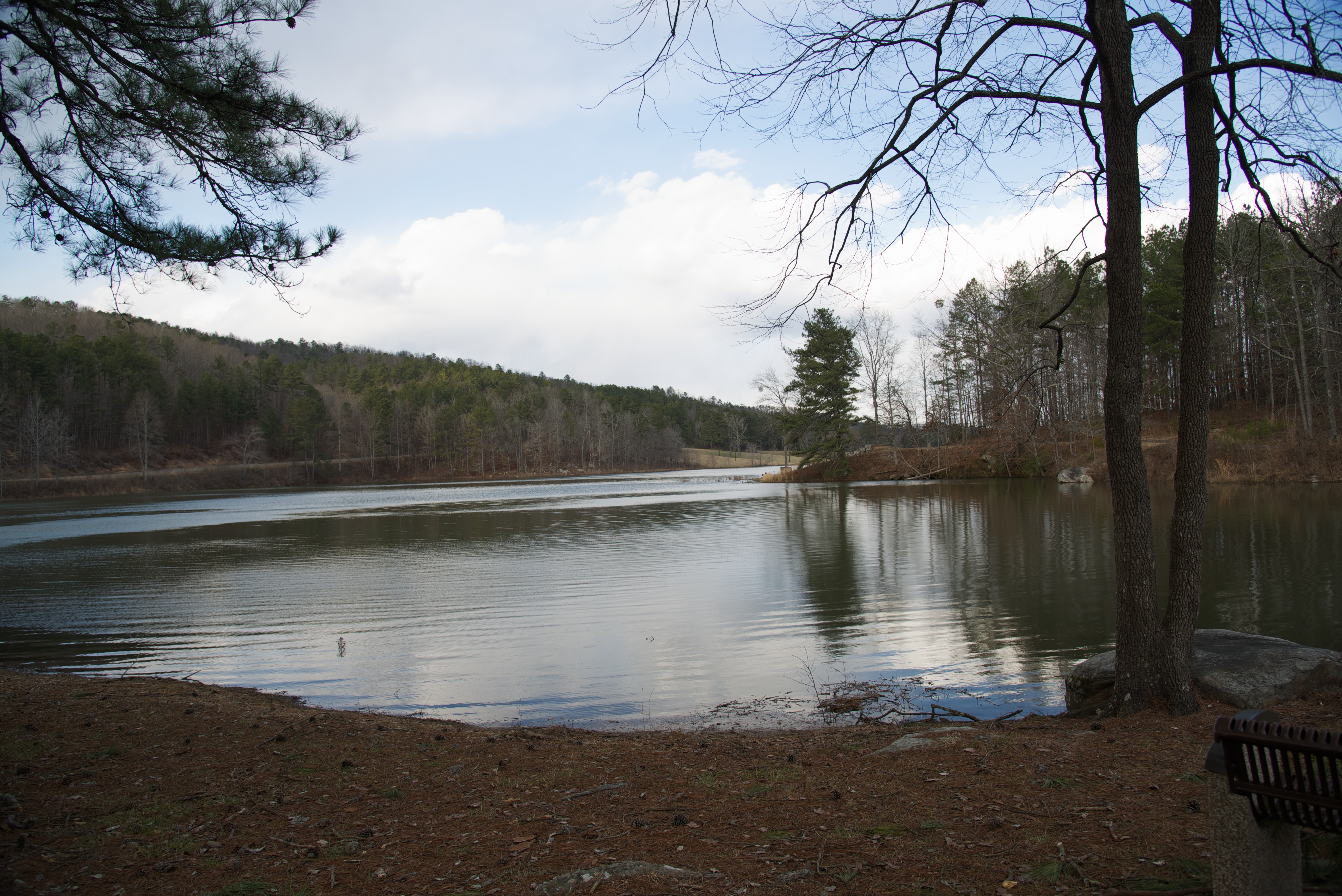
Lake Sumatanga
Lake Sumatanga
Lake Sumatanga
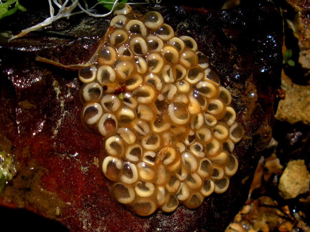
Eurycea cirrigera egg mass, Big Canoe Creek Tributary, St. Clair Co., Alabama
Lake Sumatanga
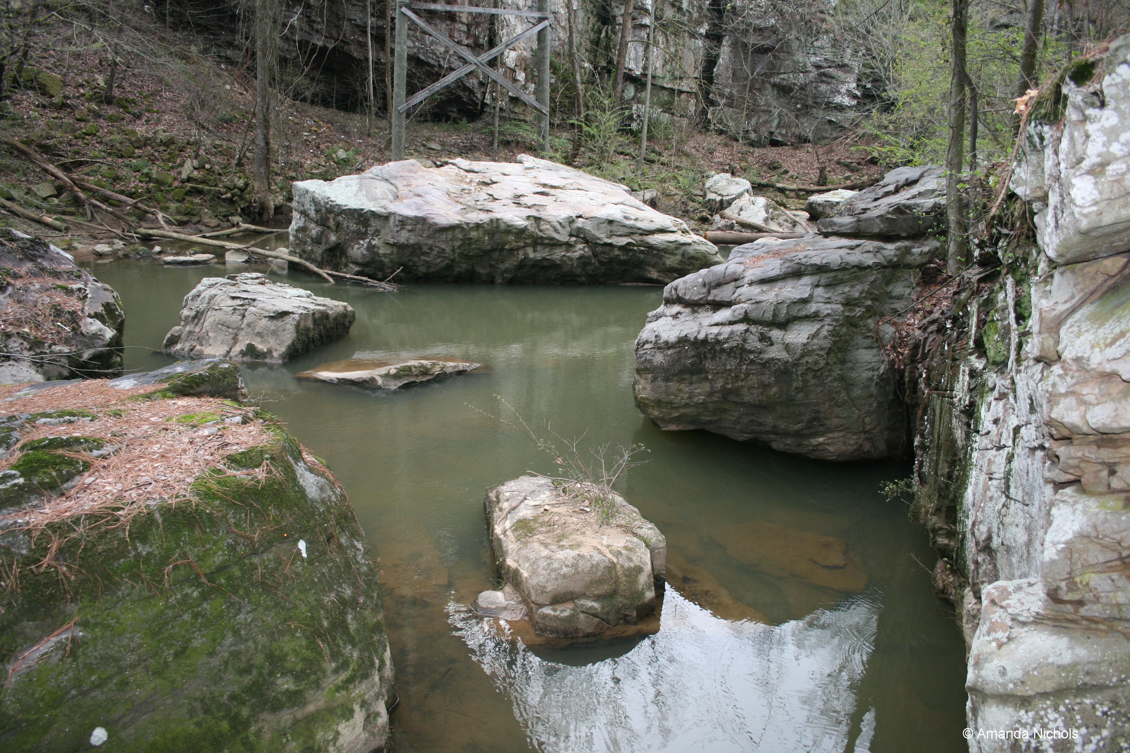
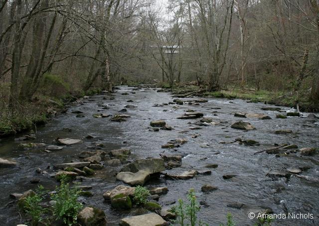
River Rocks
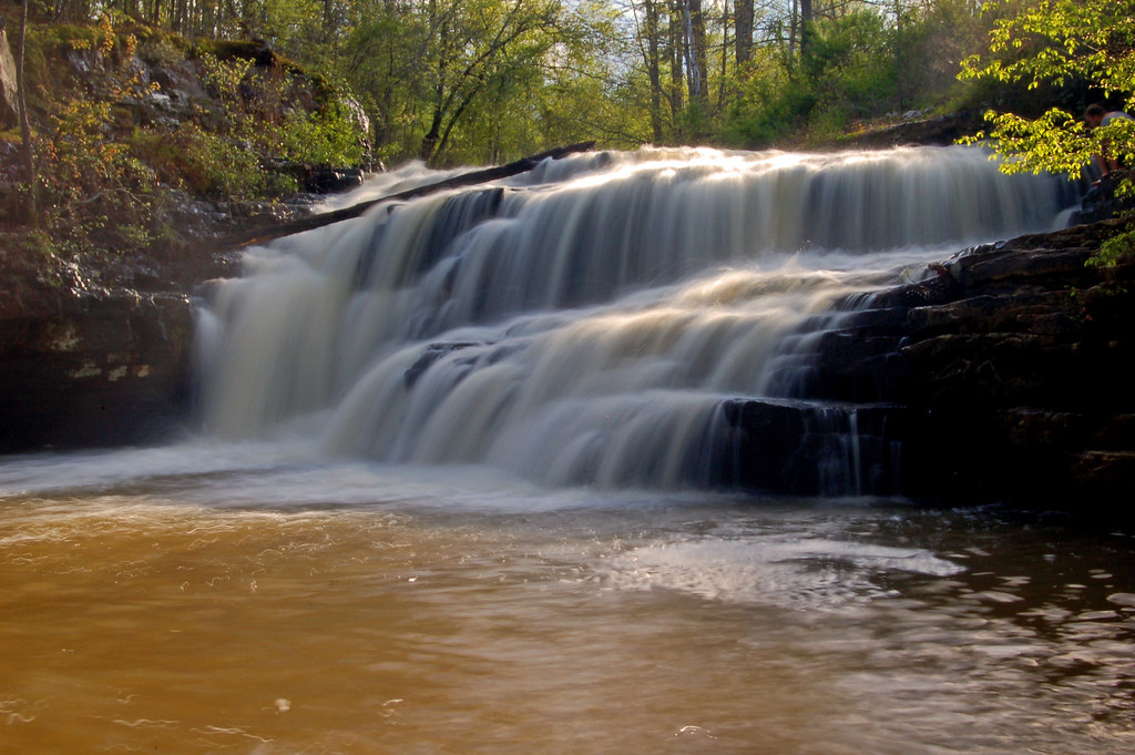
Flossy Falls
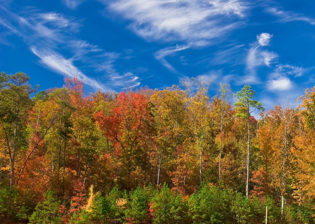
Autumn Beauty
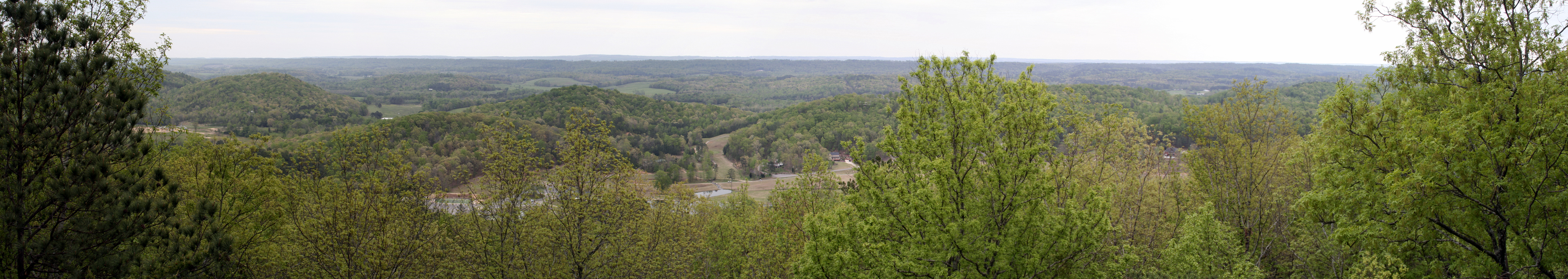
Pano-1-Palisades-4-09
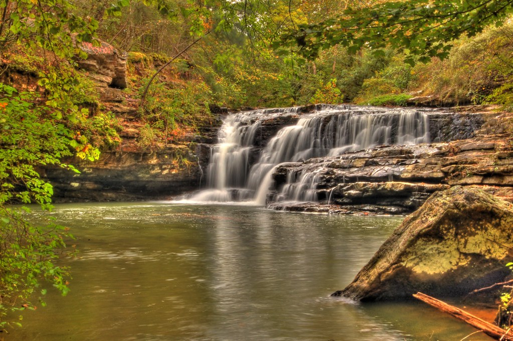
Flossy Falls
Topographic Map of County Hwy 29, Oneonta, AL, USA
Find elevation by address:

Places near County Hwy 29, Oneonta, AL, USA:
Lakeshore Dr, Oneonta, AL, USA
2309 Reneau Rd
4501 Washington Valley Rd
St Clair County 31, Springville, AL, USA
Co Rd 31, Springville, AL, USA
Springville Boulevard
Tolbert Drive
215 Lee Ln
90 Main St, Steele, AL, USA
AL-23, Ashville, AL, USA
Whitney Springs
Whitney Springs
2533 Al-23
726 Doss Ln
Odom Circle
Springville
75 Village Springs Cove
Ashville
393 Stolle Farm Rd
Pope Ave, Steele, AL, USA
Recent Searches:
- Elevation of Corso Fratelli Cairoli, 35, Macerata MC, Italy
- Elevation of Tallevast Rd, Sarasota, FL, USA
- Elevation of 4th St E, Sonoma, CA, USA
- Elevation of Black Hollow Rd, Pennsdale, PA, USA
- Elevation of Oakland Ave, Williamsport, PA, USA
- Elevation of Pedrógão Grande, Portugal
- Elevation of Klee Dr, Martinsburg, WV, USA
- Elevation of Via Roma, Pieranica CR, Italy
- Elevation of Tavkvetili Mountain, Georgia
- Elevation of Hartfords Bluff Cir, Mt Pleasant, SC, USA