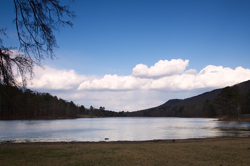
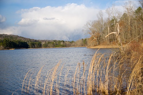
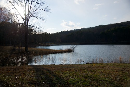
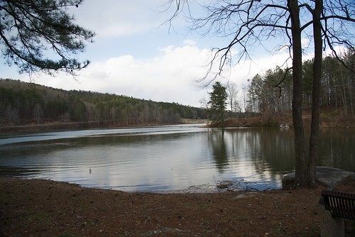
Elevation of Lee Ln, Steele, AL, USA

Location: United States > Alabama > St. Clair County > Steele >

Longitude: -86.301149

Latitude: 33.895642

Elevation: 190m / 623feet

Barometric Pressure: 99KPa

Elevation Map:

elevation map of Lee Ln, Steele, AL, USA

Satellite Map:

Satellite map of Lee Ln, Steele, AL, USA

Related Photos:

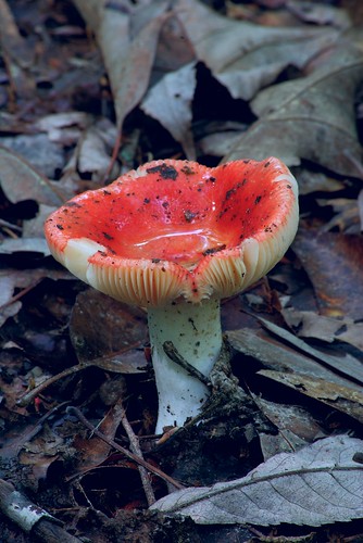
mushroom rain hike fungus hdr
Toad's Bowl
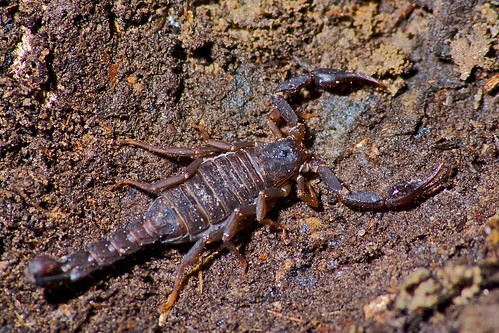
rain arachnid hike scorpion sigma70300mmf456apomacrosuperii
Common Scorpion
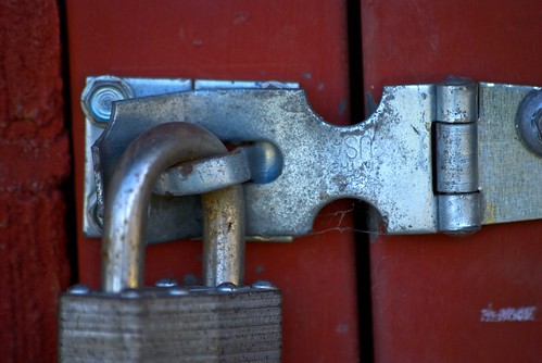
playground geotagged rust lock tennis sigma70300mmf456apomacrosuperii
You Put It On Wrong.
mountain chandler
Puddles with a view
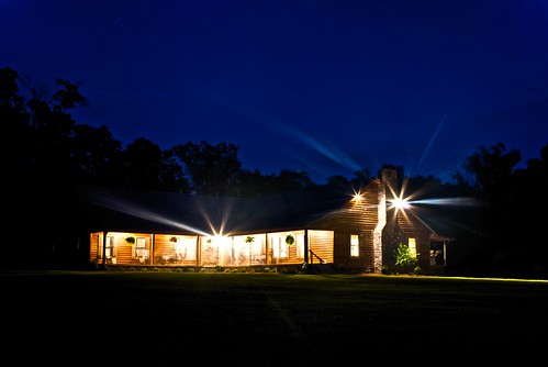
house home night lens geotagged cabin personal outdoor lensflare flare crawford starburst cedarhouse imagetype photospecs
Home Sweet Home
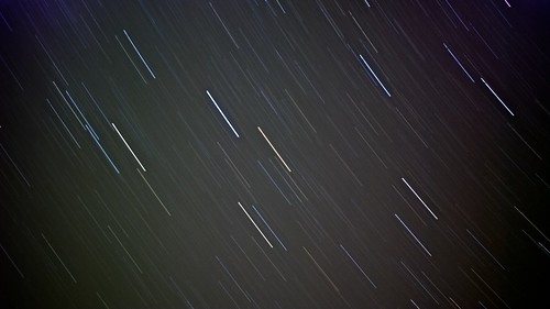
night geotagged lights streak outdoor streaks crawford imagetype photospecs sigma2870mmf284highspeedzoom
20 minutes of night.
blue tree rain closeup fruit geotagged berry outdoor sigma70300mmf456apomacrosuperii imagetype photospecs
Dark Succulence
playground geotagged tennis sigma2870mmf284highspeedzoom
The Net Has Somewhat Decayed.
playground balls tennis sigma2870mmf284highspeedzoom
3 is a crowd.
playground geotagged christopher tennis sigma2870mmf284highspeedzoom
Playing Doubles.
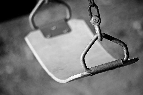
playground swing tennis sigma70300mmf456apomacrosuperii
Play With Me.
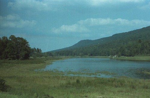
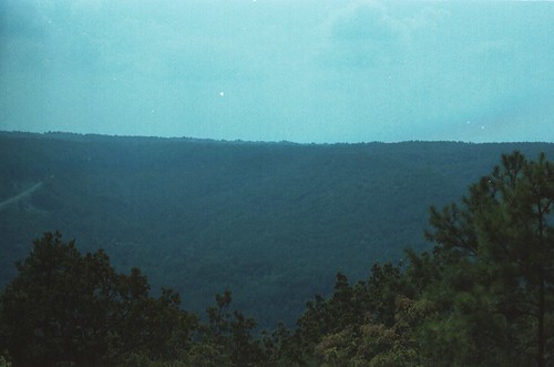
lakes bodiesofwater unitedmethodist scenicviews stateofalabama stclaircountyalabama lakesumatanga gallantalabama chandlermountain campsumatanga formatfilm35mmnegative alabamacountystclair alabamagallant cameracanonae1program2067283 year1982pictures
Lake Sumatanga / P1982-0905A037-33
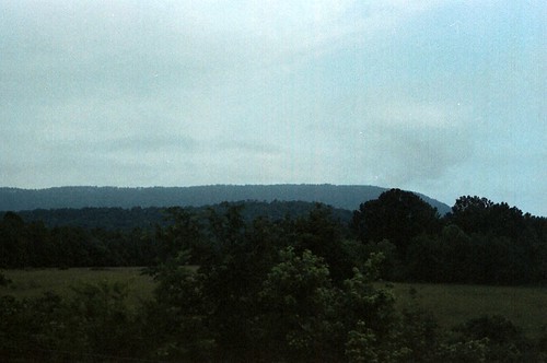
railroads scenicviews stateofalabama etowahcountyalabama norfolksouthernrailroad attallaalabama trainexcursions steelealabama chandlermountain rolla069 formatfilm35mmnegative norfolksouthernrailroadsteamexcursionprogram year1983pictures canonae1program2067283 cameracanonae1program aboardexcursiontrains aboardjune5th1983excursiontrain birminghamchattanoogatrainexcursion198306 alabamacountyetowah
Chandler Mountain / P1983-0605a069-21
trees nature parks horsepens40 scenicviews stateofalabama alabamalandmarks stclaircountyalabama steelealabama formatfilm35mmnegative alabamacountystclair alabamasteel blountmountain cameracanonae1program2067283 year1982pictures
Horse Pens 40 Scenic Overlook / P1982-0905A037-29
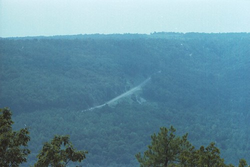
parks horsepens40 scenicviews stateofalabama ushighway231 alabamalandmarks stclaircountyalabama steelealabama formatfilm35mmnegative alabamacountystclair alabamasteel blountmountain cameracanonae1program2067283 year1982pictures
U.S. Highway 231 & Blount Mountain / P1982-0905A037-19
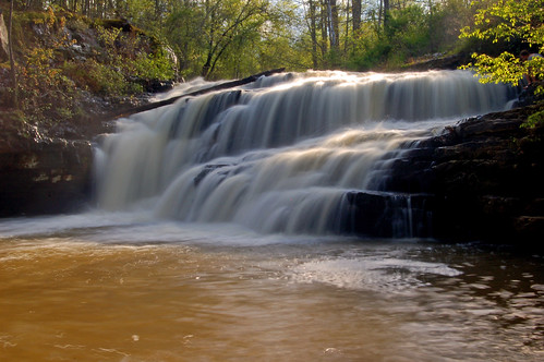
water creek waterfall alabama whitney ashville stclaircounty loriwalden flossyfalls
Flossy Falls
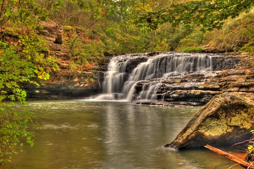
waterfall nikond50 hdr alabamawaterfalls ashevillealabama loriwalden flossyfalls stclairecounty rockcrusherfalls
Flossy Falls
lake nikon sumatanga d600 24120mm nikond600
Lake Sumatanga
lake nikon sumatanga d600 24120mm nikond600
Lake Sumatanga
blue sky cloud weather clouds skies alabama etowahcounty
summer skies over i-59
lake nikon sumatanga d600 24120mm nikond600
Lake Sumatanga
lake nikon sumatanga d600 24120mm nikond600
Lake Sumatanga
lake nikon sumatanga d600 24120mm nikond600
Lake Sumatanga
Horse Pens 40
lake nikon sumatanga d600 24120mm nikond600
Lake Sumatanga
wedding photography photographer ann regina weddingphotographywedding reginaann reginaannphotographyclevelandtntennesseephotographerreginaannphotos makingmemorieslastalifetime
Regina Ann Photography
lake nikon sumatanga d600 24120mm nikond600
Lake Sumatanga
horsepens40
IMG_0503.JPG
trees nature parks geology horsepens40 stateofalabama alabamalandmarks stclaircountyalabama steelealabama formatfilm35mmnegative alabamacountystclair alabamasteel cameracanonae1program2067283 year1982pictures
Horse Pens 40 / P1982-0905A037-05