Elevation of Springfield, New Zealand
Location: New Zealand > Canterbury >
Longitude: 171.926920
Latitude: -43.337199
Elevation: 394m / 1293feet
Barometric Pressure: 97KPa
Elevation Map:
Satellite Map:
Related Photos:
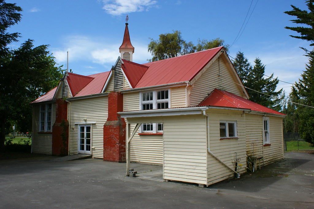
Glentunnel: South Malvern School (c.1883) (2)
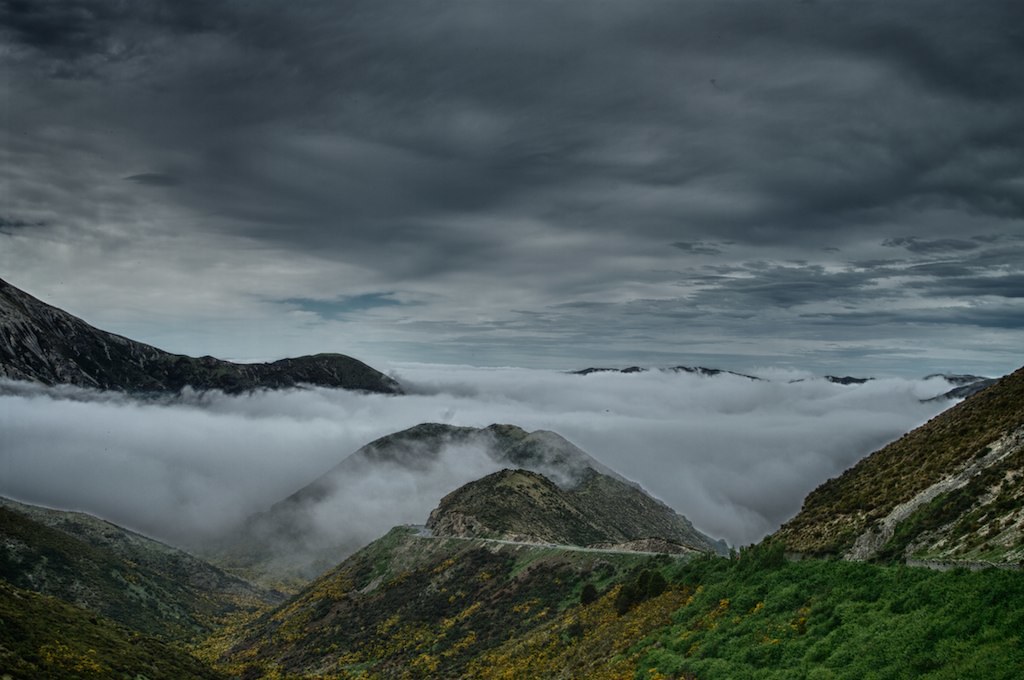
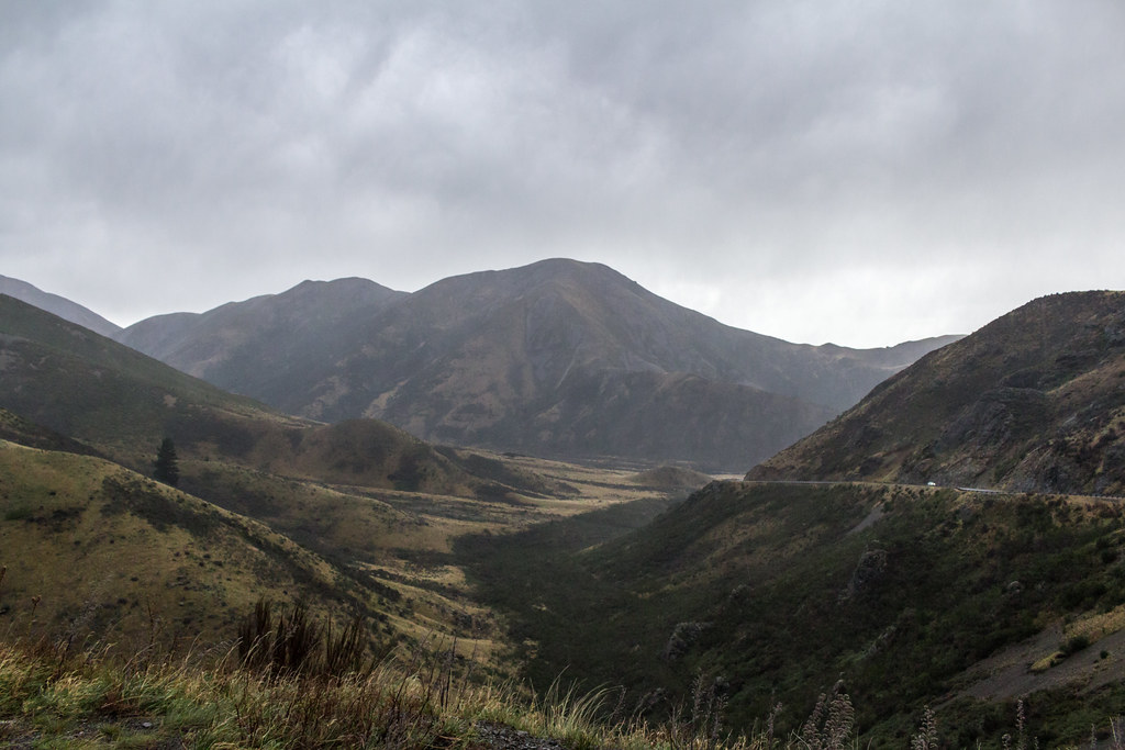
porters pass
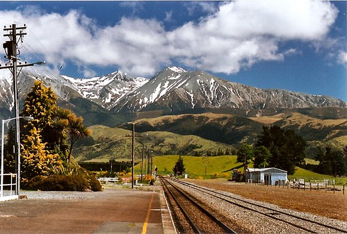
Springfield Railway Station
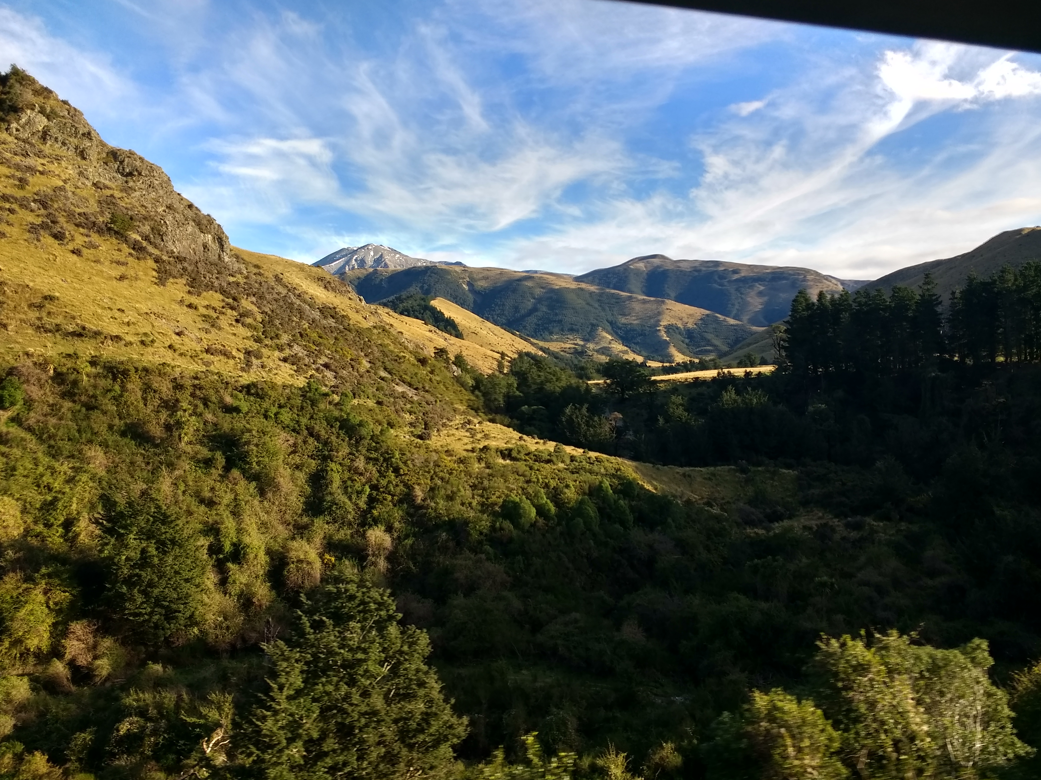
View from West Coast Road
View from West Coast Road, just past Springfield, Canterbury
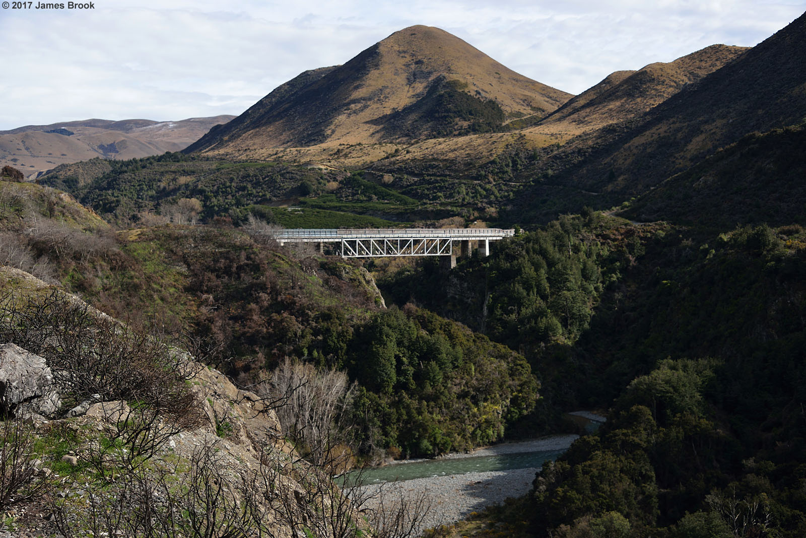
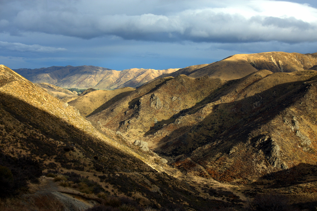
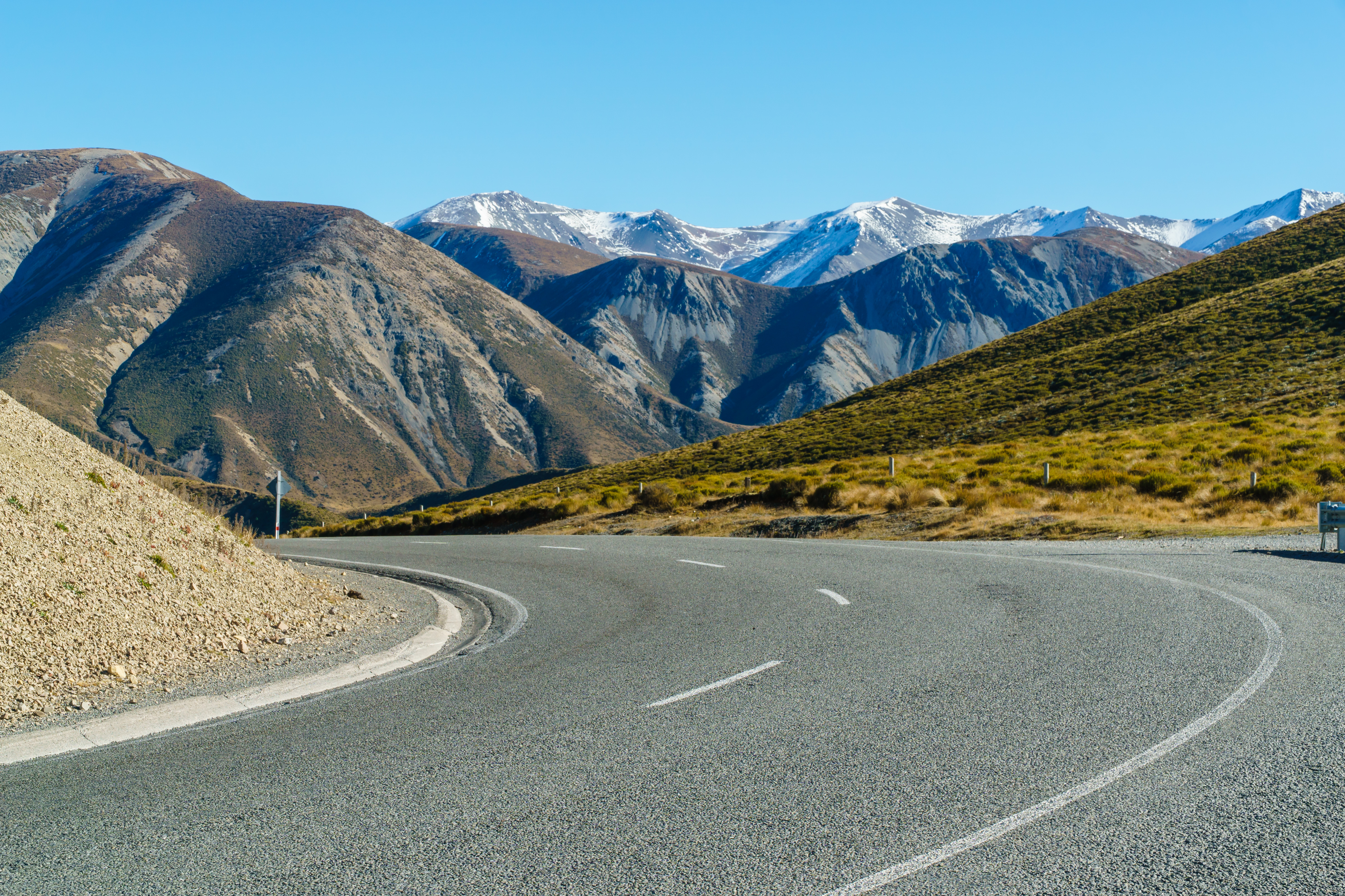
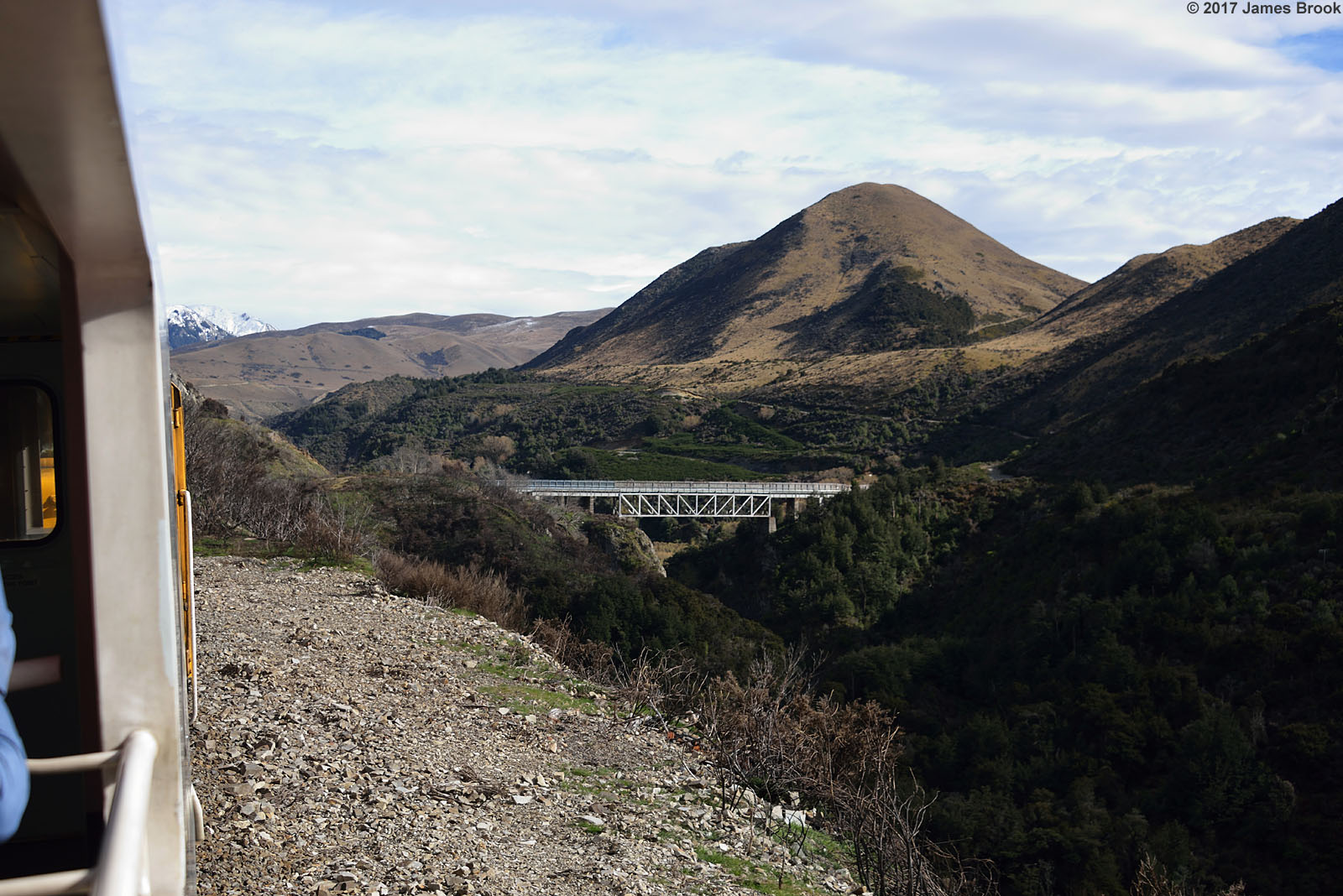
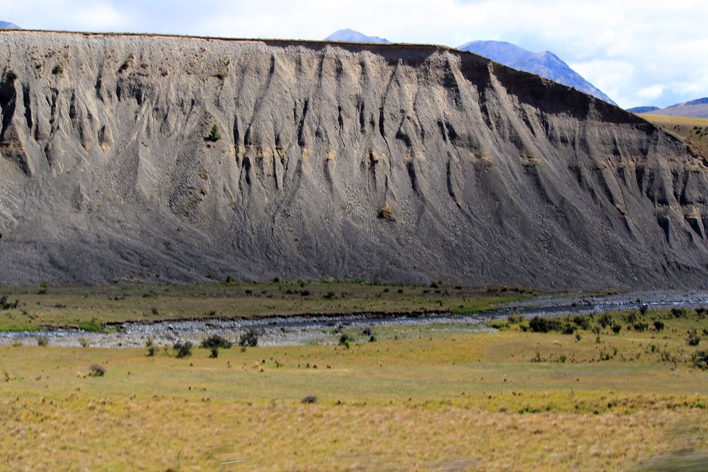
Springfield to Cragieburn
Springfield to Cragieburn
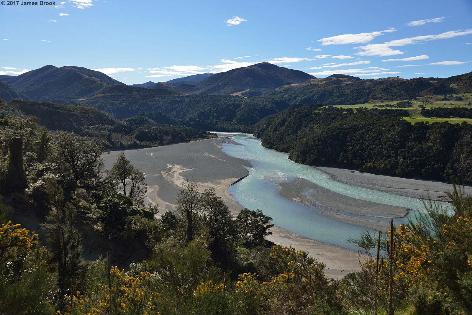
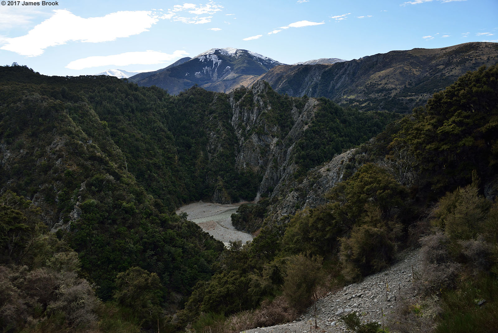
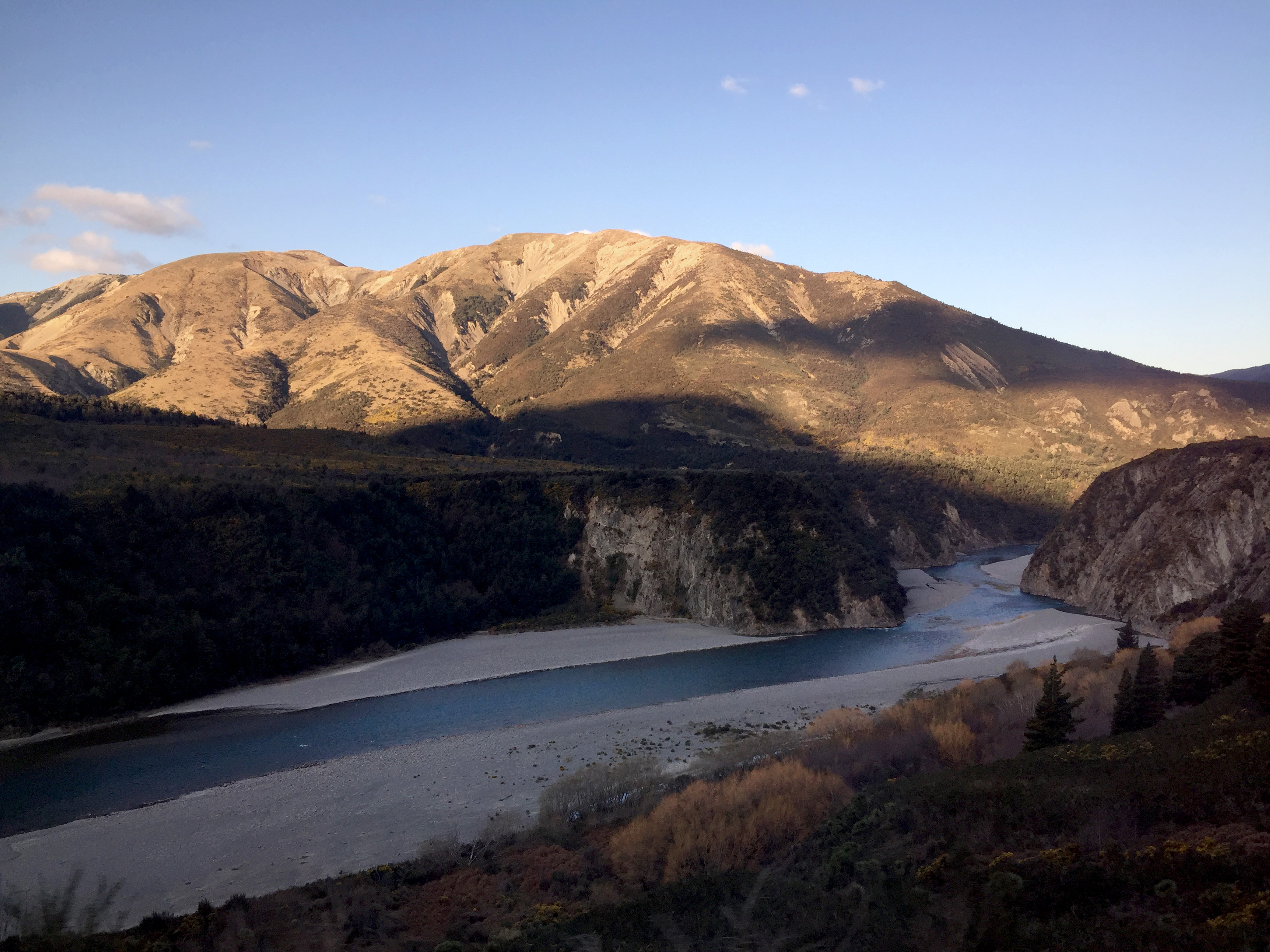
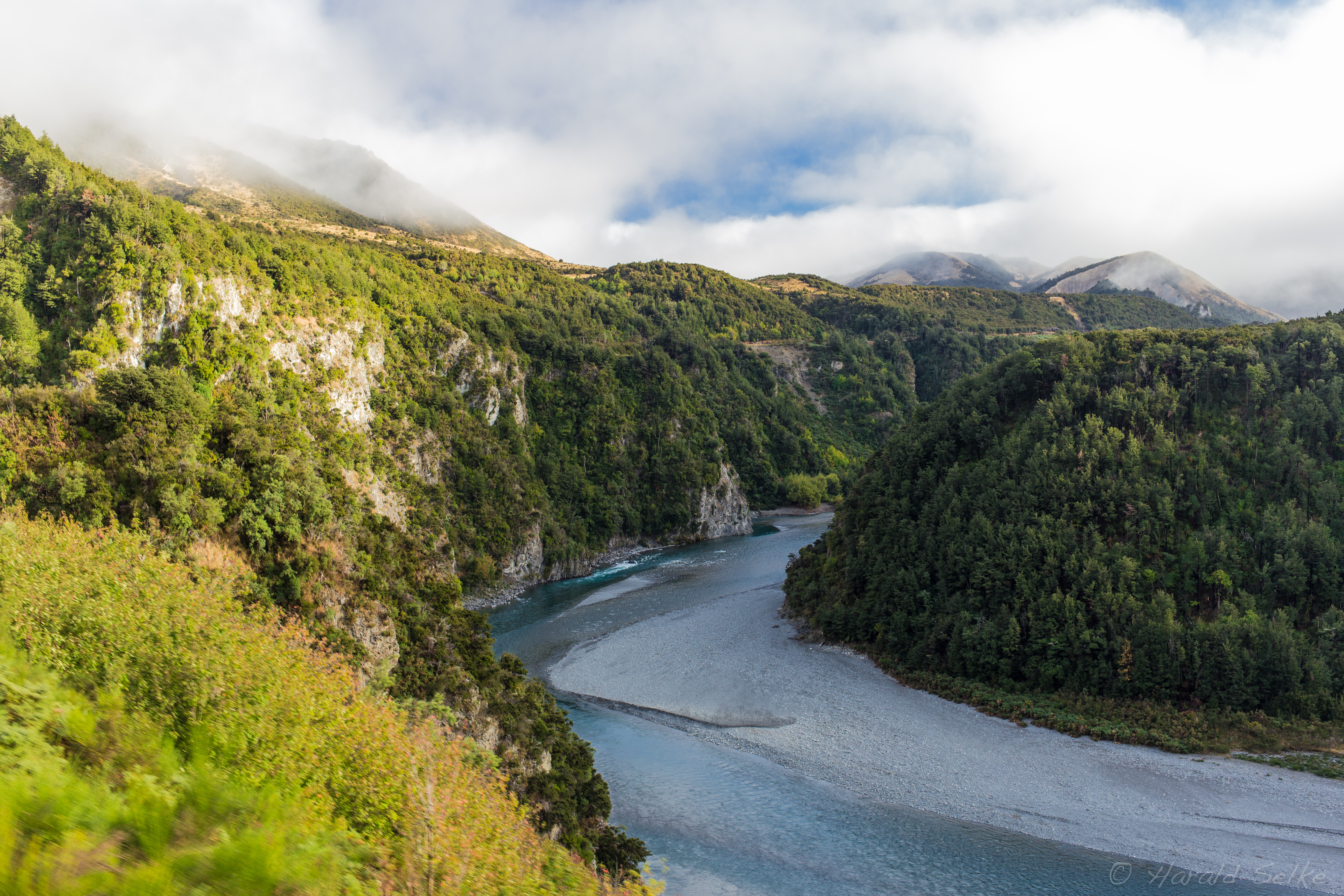
Waimakariri River between Springfield and Cragieburn

The TranzAlpine train
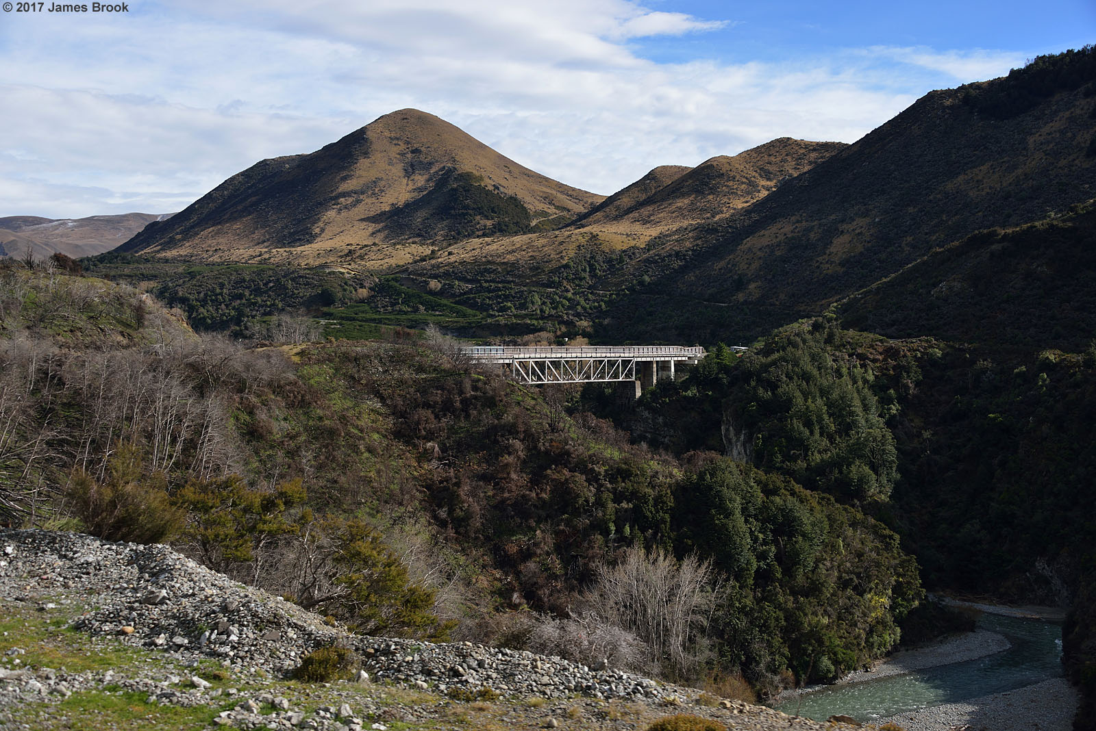
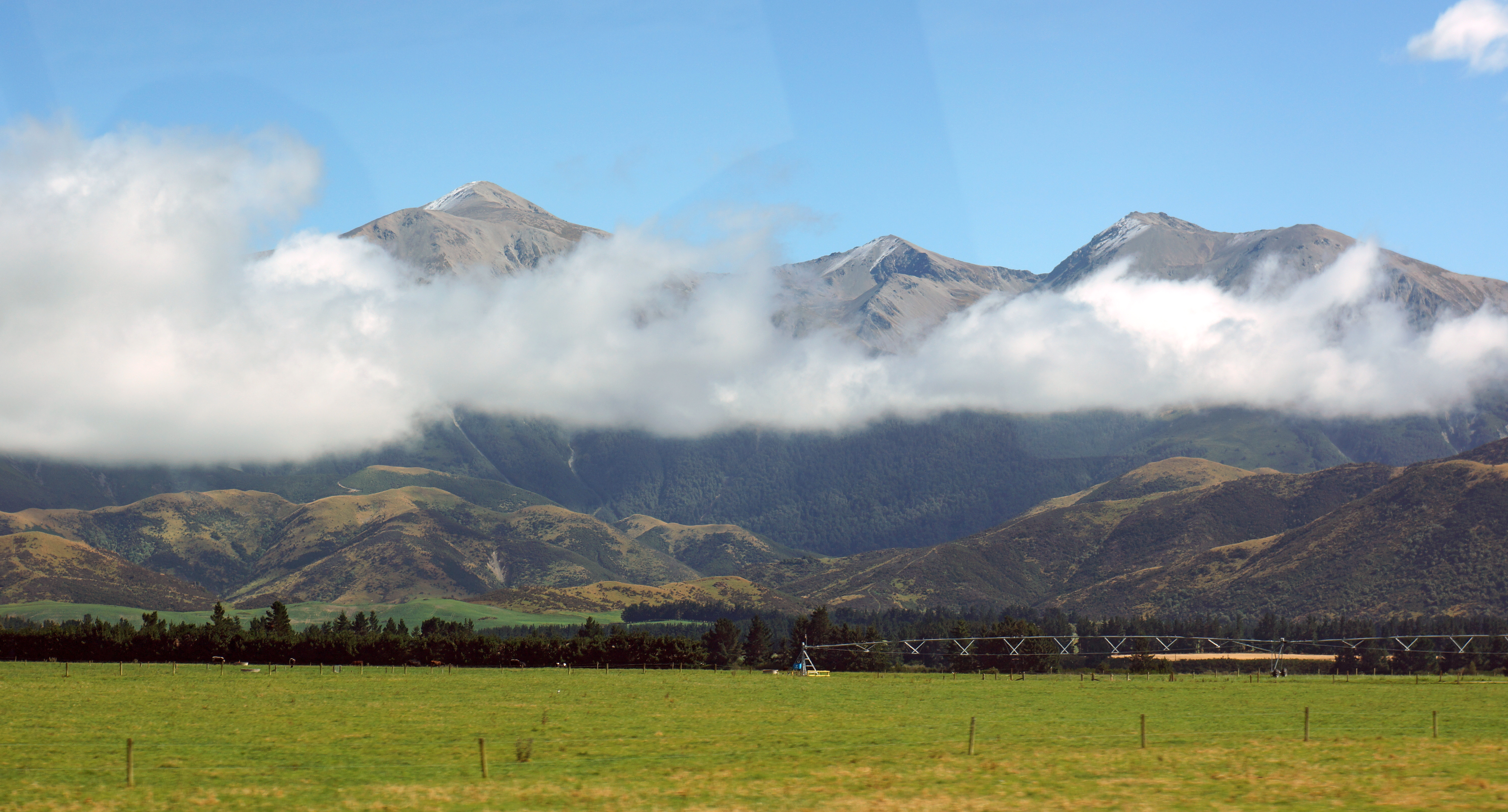
Springfield to Cragieburn
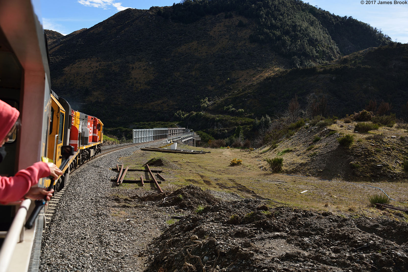
Springfield to Cragieburn
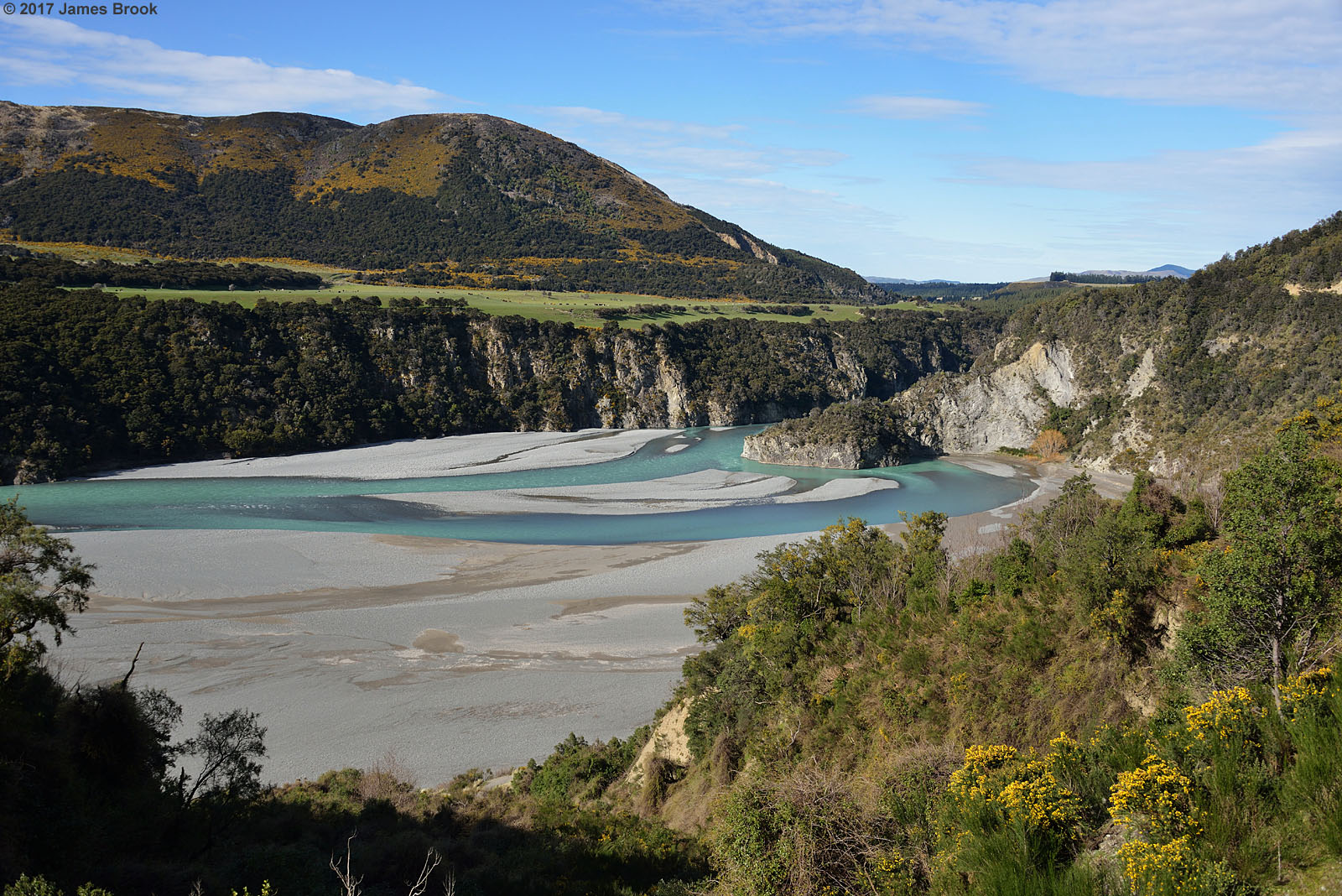
Waimakariri River between Springfield and Cragieburn
Springfield to Cragieburn
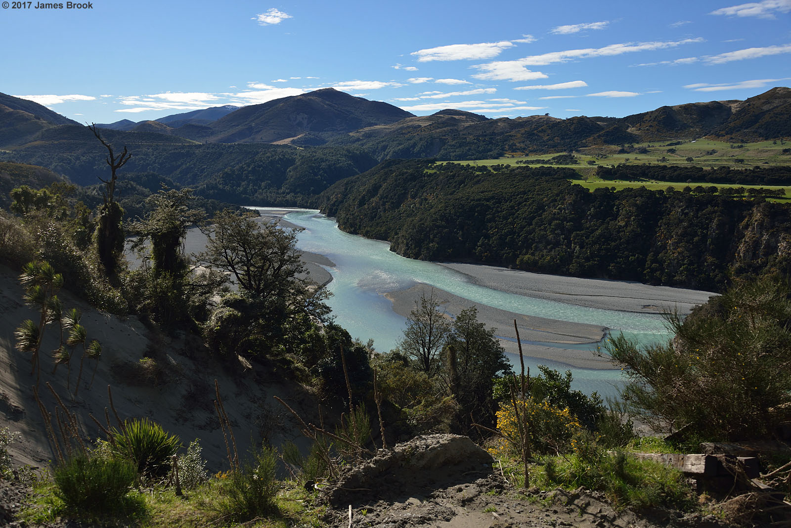
Waimakariri River between Springfield and Cragieburn
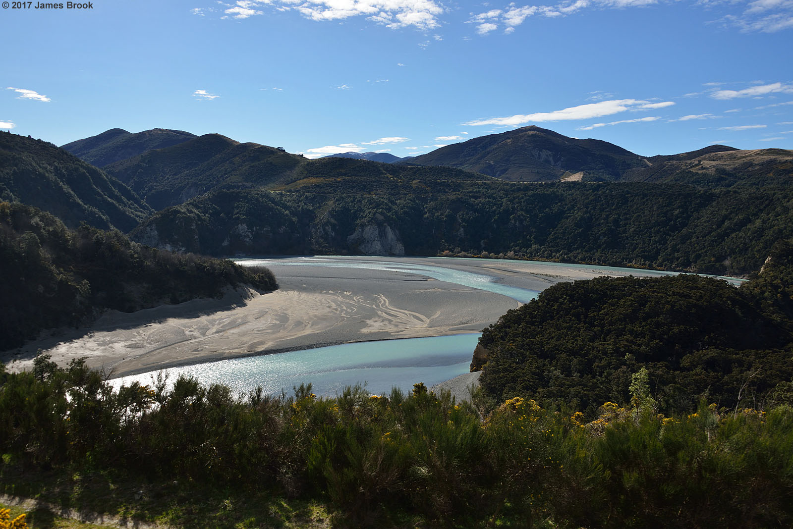
Waimakariri River between Springfield and Cragieburn
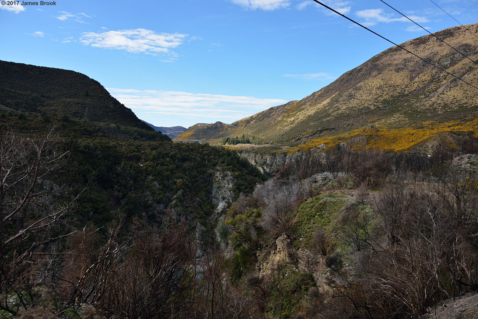
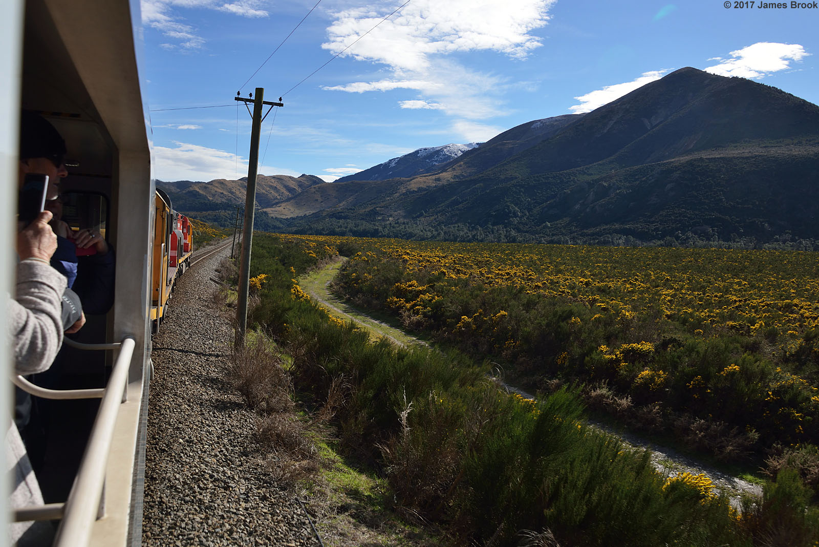
Springfield to Cragieburn

Seasons Change...
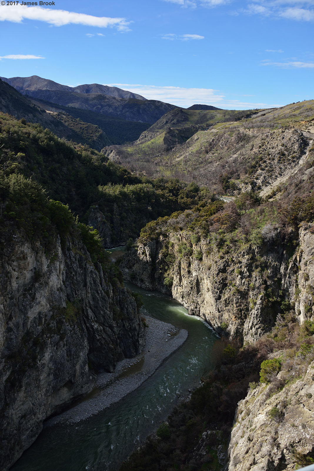
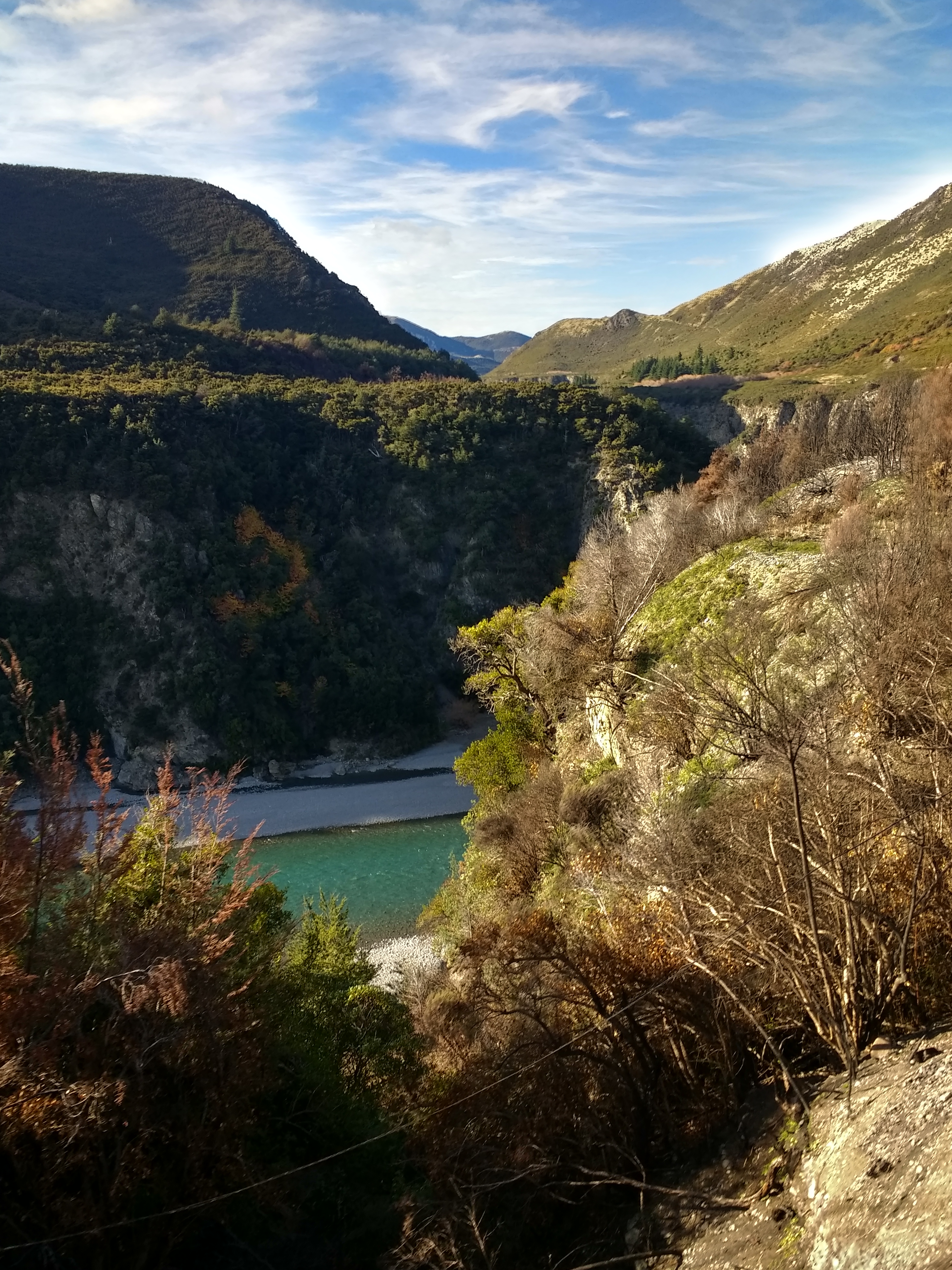
Broken River between Springfield and Cragieburn
Springfield to Cragieburn
2-8-0 Springfield
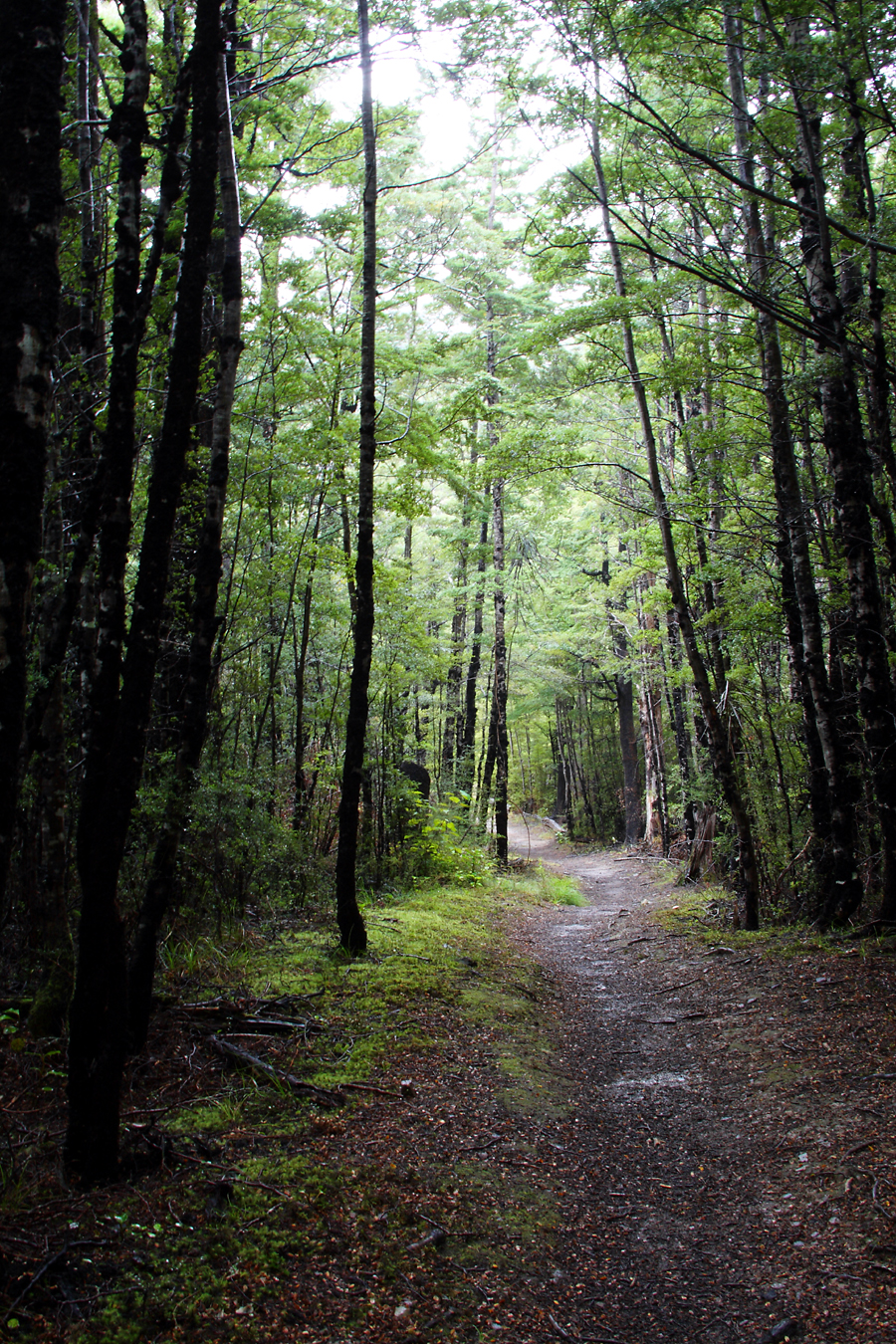
Forest path
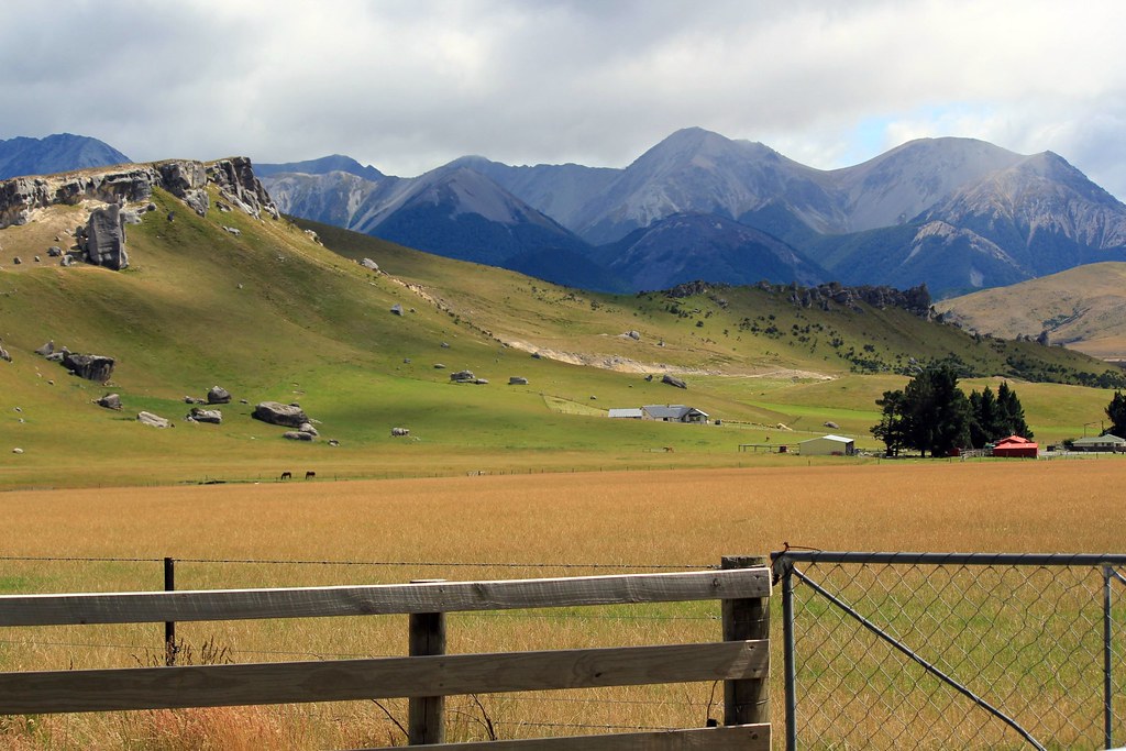
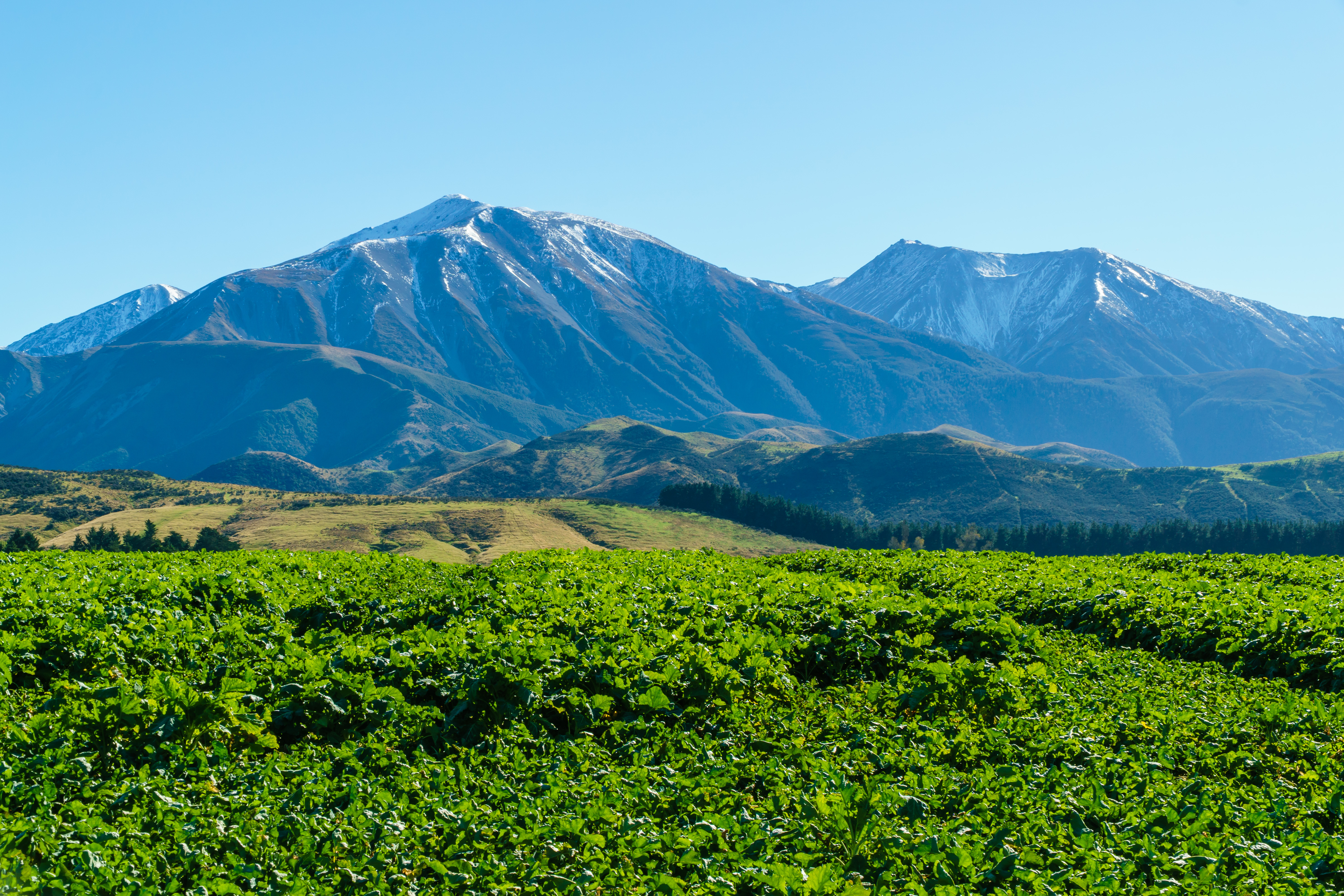
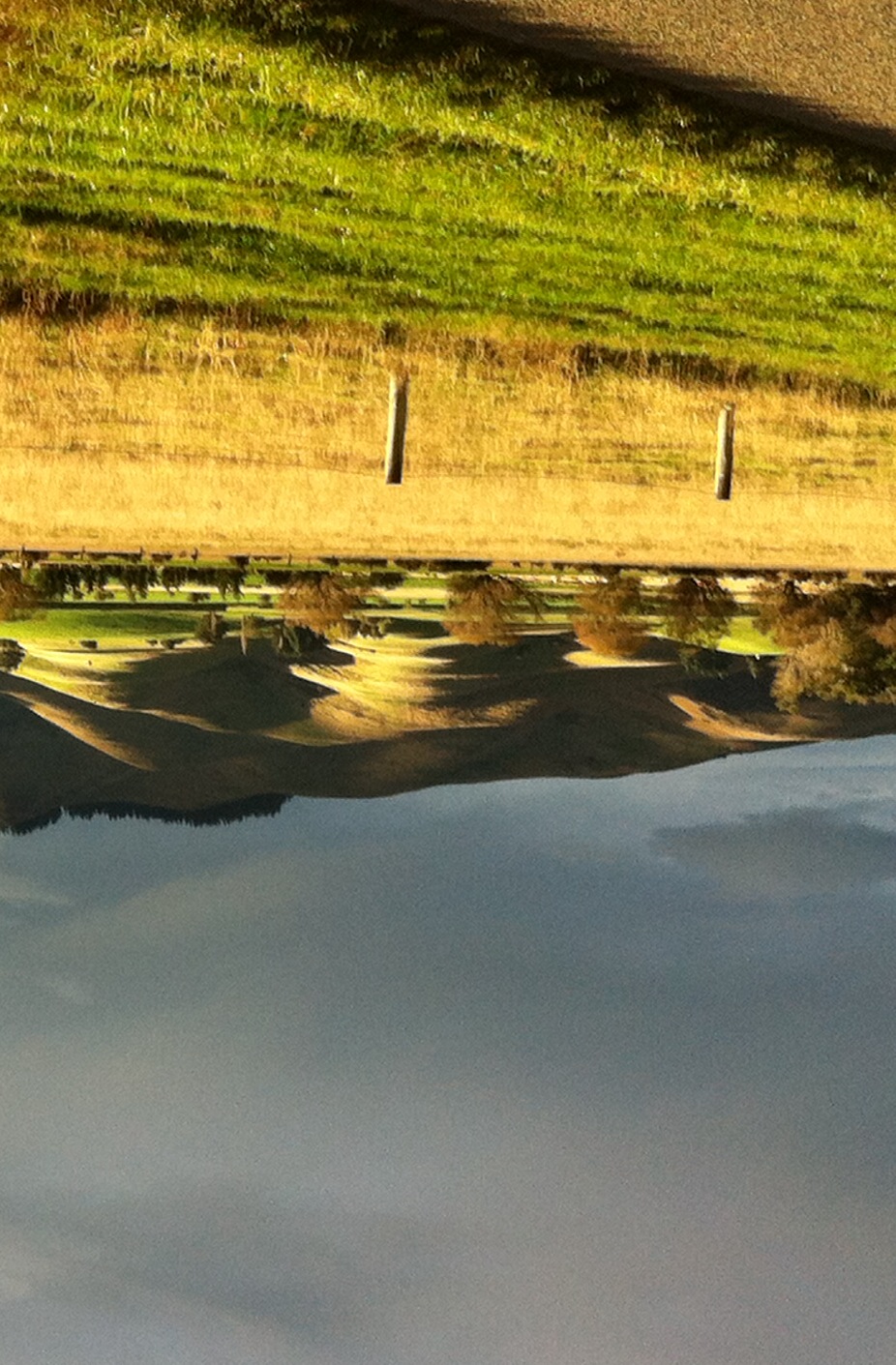
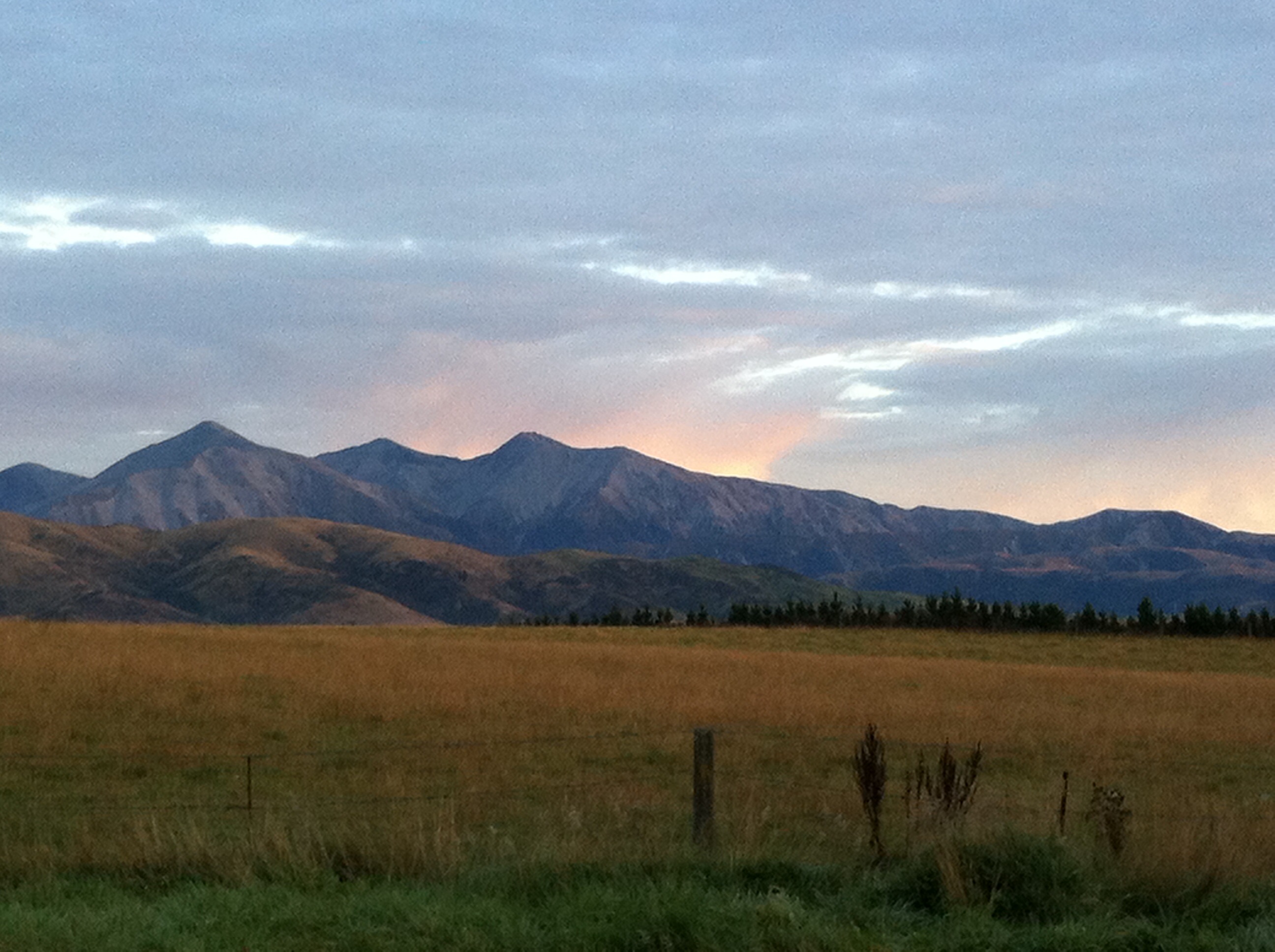
A farm in the mountains
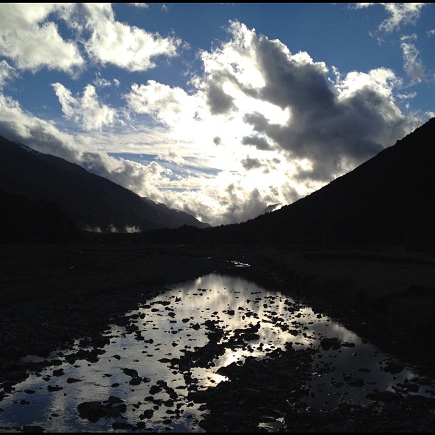
Waimakariri River
2017.05.09 - 09.46.23 - IMG_20170509_094622873_HDR - South Island, 4WD track, Selwyn District, New Zealand_bt
Around Home.
341560658382369395_351712320140913-25723-d9fm76
2017.05.09 - 09.28.53 - IMG_20170509_092853212_HDR - South Island, 4WD track, Selwyn District, New Zealand_bt
New Zealand & Australia_2012-05-12_13-01-47_IMGP2705_HDR.tif_©TimHall2012

14-01-31 New Zealand Touring-013951
Mountains on the way to Arthur's Pass, South Island, New Zealand
Around Home.

14-01-31 New Zealand Touring-013948
More mountains - Explored
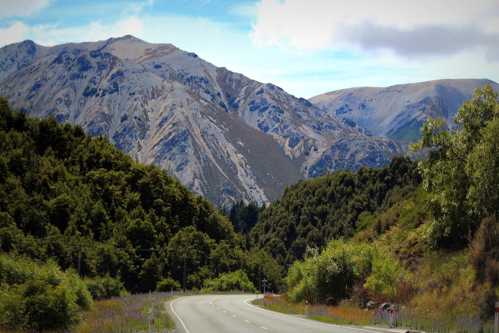
Torlesse Range, from Hwy 73 W of Waddington
IMG_6789.jpg
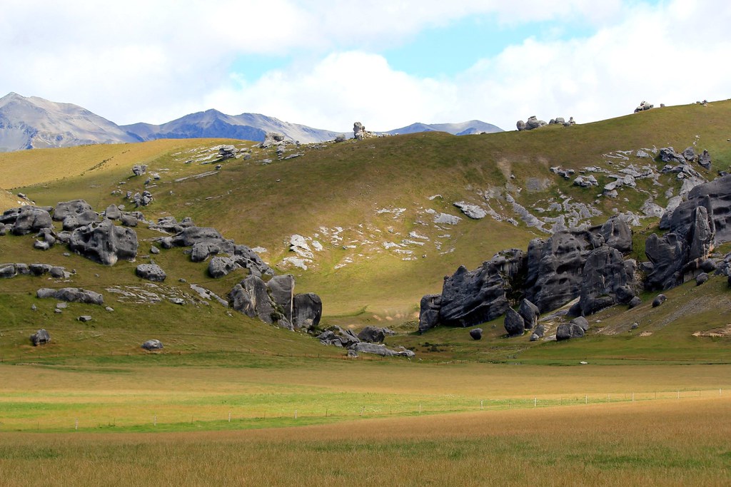
Gigantic rocks standing...
14-01-31 New Zealand Touring-013951
14-01-31 New Zealand Touring-013948
The Hurunui Valley
Torlesse Tussocklands Park Stitch (50 Megapixel - 10,942 x 4,552)
Waimakariri River
Topographic Map of Springfield, New Zealand
Find elevation by address:

Places near Springfield, New Zealand:
Springfield
84 Depot Rd
View Hill
Coalgate
Selwyn District
Castle Hill Peak
Hororata Primary School
Waimakariri River
Lake Lyndon
Darfield
7 Torlesse Pl
Castle Hill
1 York St
Oxford
Windwhistle
Rakaia Gorge Road
747 Ridgens Rd
Lees Valley
Mount Enys
50 Horns Road
Recent Searches:
- Elevation of Corso Fratelli Cairoli, 35, Macerata MC, Italy
- Elevation of Tallevast Rd, Sarasota, FL, USA
- Elevation of 4th St E, Sonoma, CA, USA
- Elevation of Black Hollow Rd, Pennsdale, PA, USA
- Elevation of Oakland Ave, Williamsport, PA, USA
- Elevation of Pedrógão Grande, Portugal
- Elevation of Klee Dr, Martinsburg, WV, USA
- Elevation of Via Roma, Pieranica CR, Italy
- Elevation of Tavkvetili Mountain, Georgia
- Elevation of Hartfords Bluff Cir, Mt Pleasant, SC, USA