Elevation of Springdale Rd, McLouth, KS, USA
Location: United States > Kansas > Leavenworth County > Easton > Easton >
Longitude: -95.128141
Latitude: 39.2585307
Elevation: 301m / 988feet
Barometric Pressure: 98KPa
Elevation Map:
Satellite Map:
Related Photos:

Abandoned...

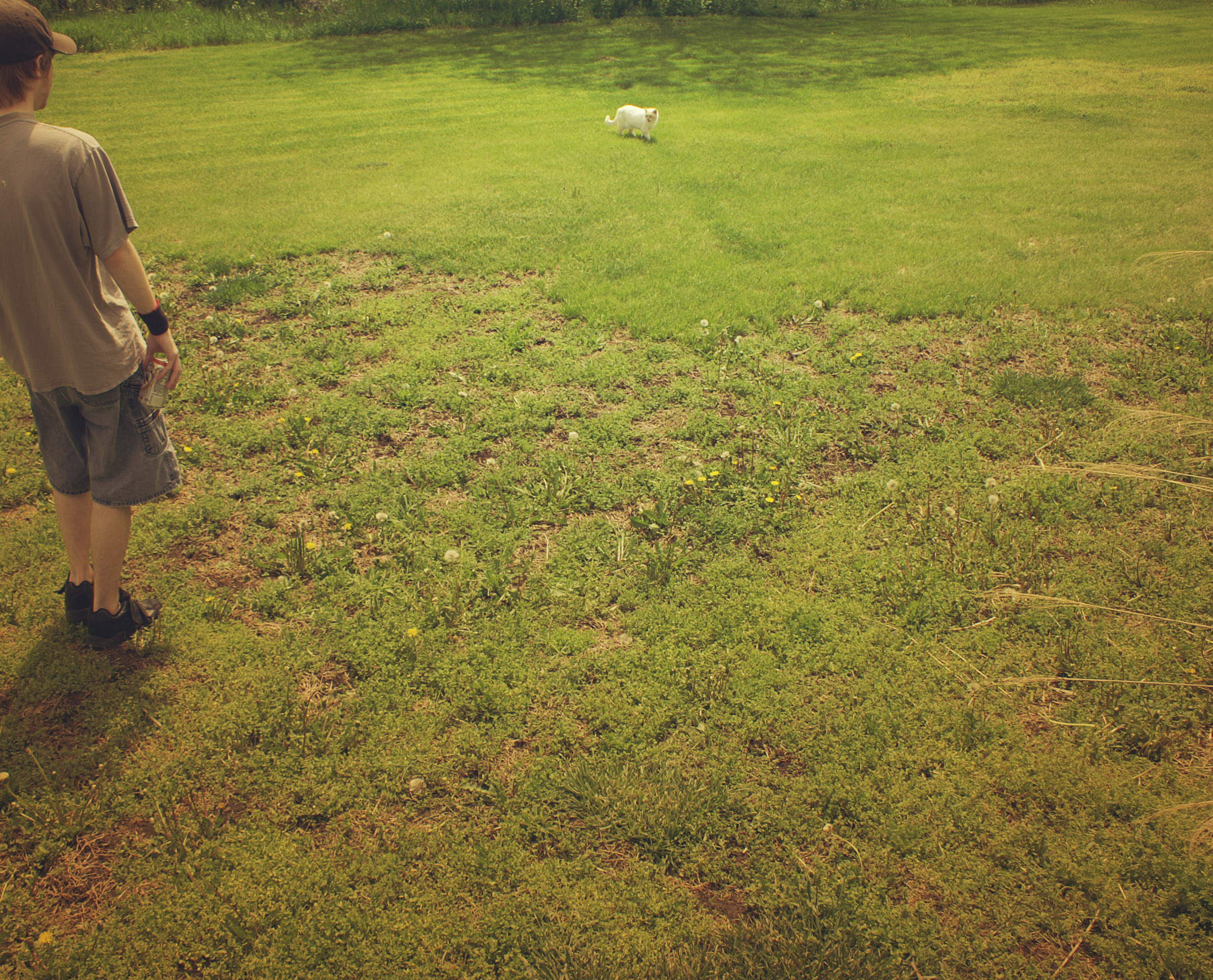
Bird's Eye Cat

This view again #love

Mt. Zion Cemetery (Leavenworth)

Shantivanam House of Prayer (2005)

Fragile Sunset

2010-04-23_009

Kansas Sunset

Dusk II
2010-04-23_019

2013JSRR 246
This is Kansas

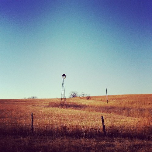
Farm landscape

the Winding Path
Topographic Map of Springdale Rd, McLouth, KS, USA
Find elevation by address:

Places near Springdale Rd, McLouth, KS, USA:
23689 Springdale Rd
23689 Springdale Rd
Alexandria
235th Street & Broad Street
Smiley Rd, Leavenworth, KS, USA
Easton
W Riley St, Easton, KS, USA
23612 Ks-192
Easton
Гилман-роуд, Leavenworth, KS, USA
29371 195th St
High Prairie
Jefferson
Main St, Winchester, KS, USA
Winchester
Kickapoo
1412 S 16th St
1625 Shawnee St
921 Spruce St
Leavenworth
Recent Searches:
- Elevation of Corso Fratelli Cairoli, 35, Macerata MC, Italy
- Elevation of Tallevast Rd, Sarasota, FL, USA
- Elevation of 4th St E, Sonoma, CA, USA
- Elevation of Black Hollow Rd, Pennsdale, PA, USA
- Elevation of Oakland Ave, Williamsport, PA, USA
- Elevation of Pedrógão Grande, Portugal
- Elevation of Klee Dr, Martinsburg, WV, USA
- Elevation of Via Roma, Pieranica CR, Italy
- Elevation of Tavkvetili Mountain, Georgia
- Elevation of Hartfords Bluff Cir, Mt Pleasant, SC, USA