Elevation of Jefferson, KS, USA
Location: United States > Kansas > Jefferson County >
Longitude: -95.247551
Latitude: 39.3477038
Elevation: 351m / 1152feet
Barometric Pressure: 97KPa
Elevation Map:
Satellite Map:
Related Photos:
Rail Safari Fall 2010
Shantivanam House of Prayer (2005)
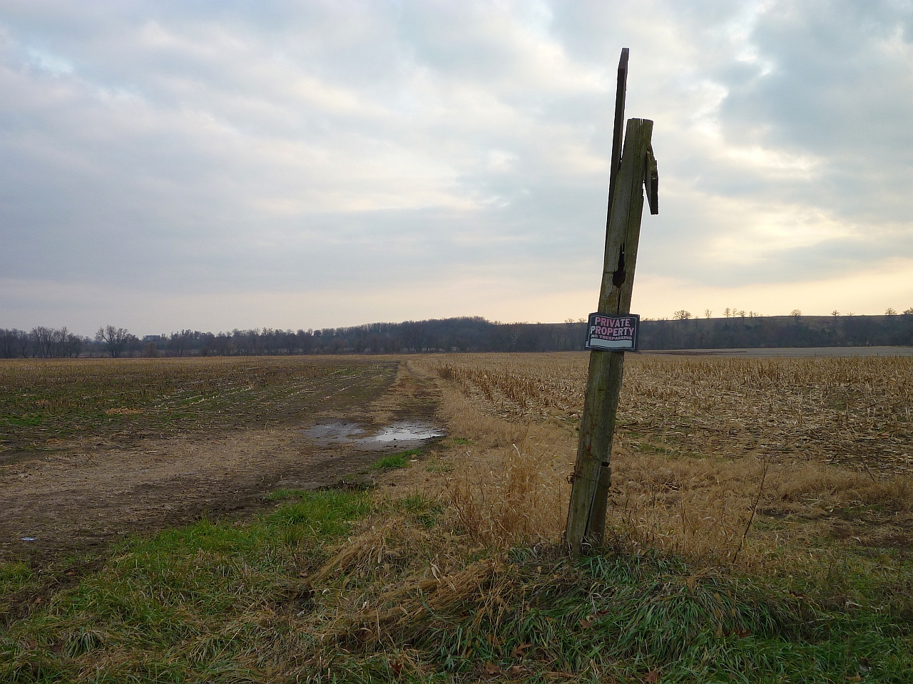
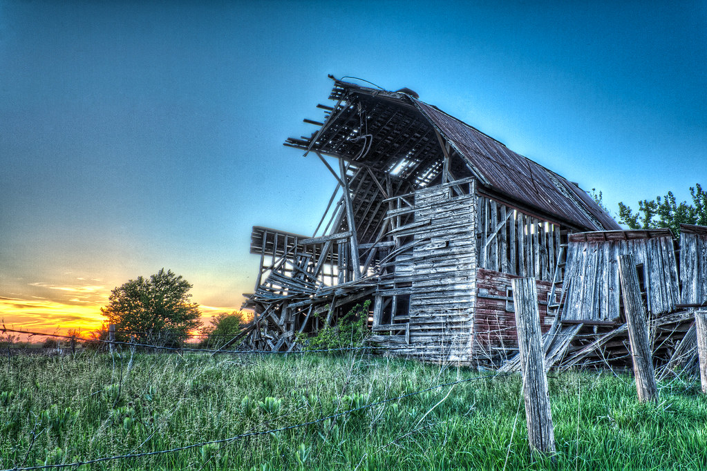
Abandoned...
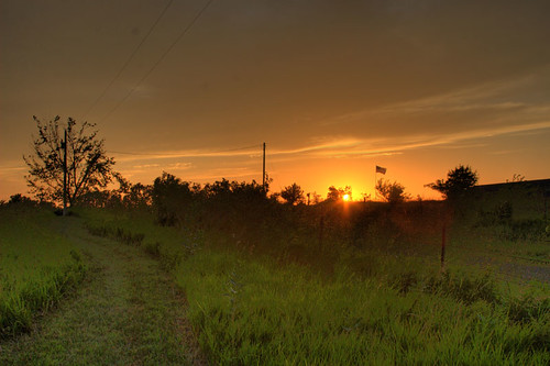
Fragile Sunset
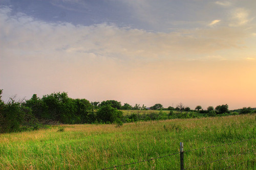
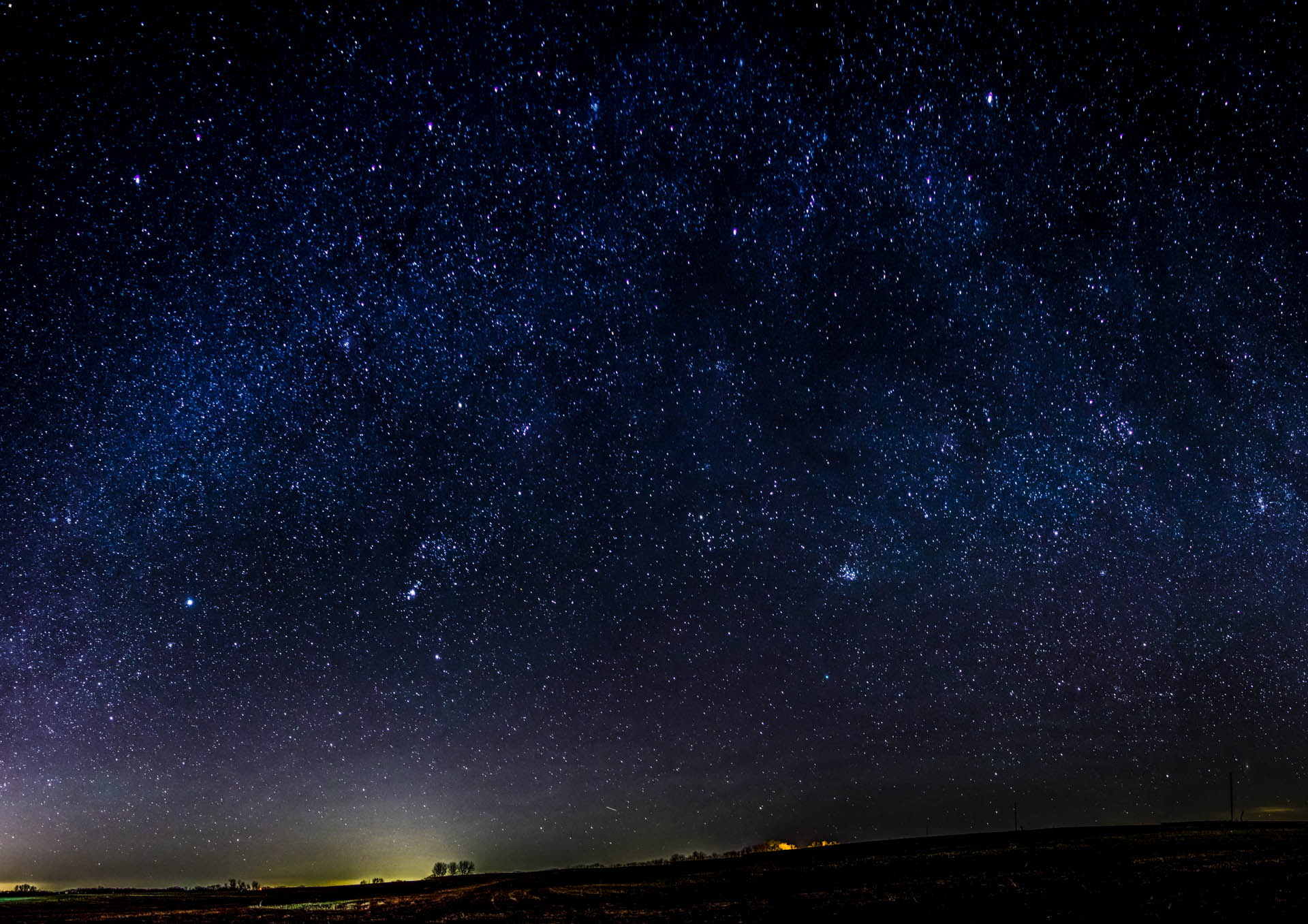
Kansas Sunset
Dusk II
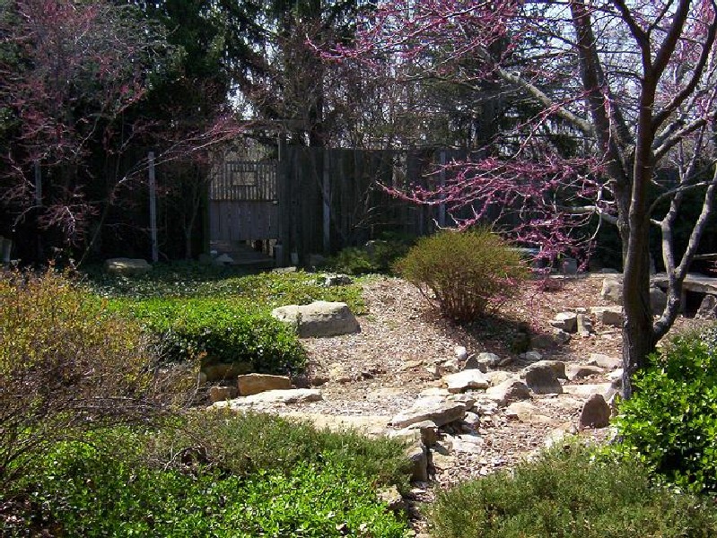
the Winding Path
Rail Safari Fall 2010
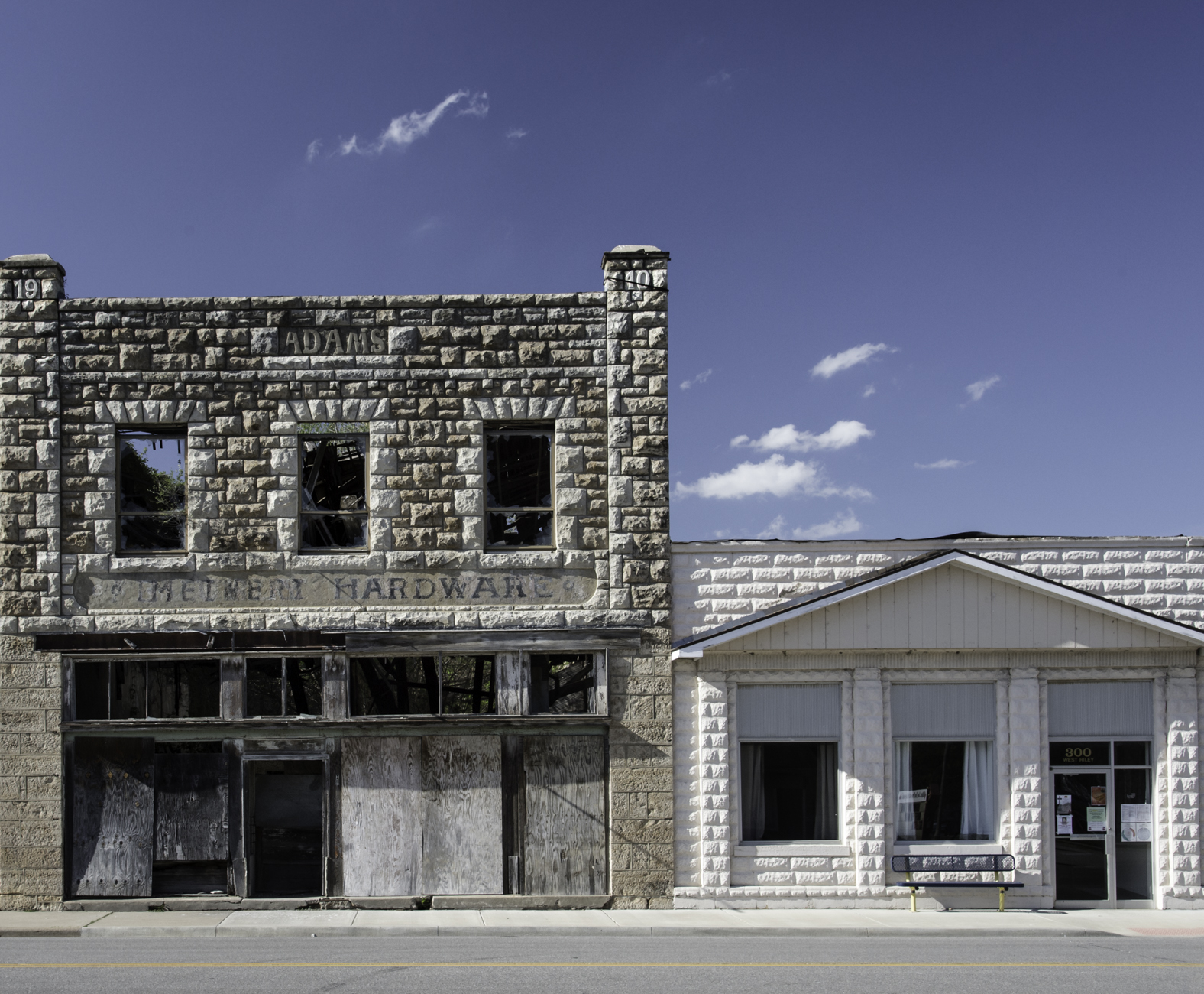
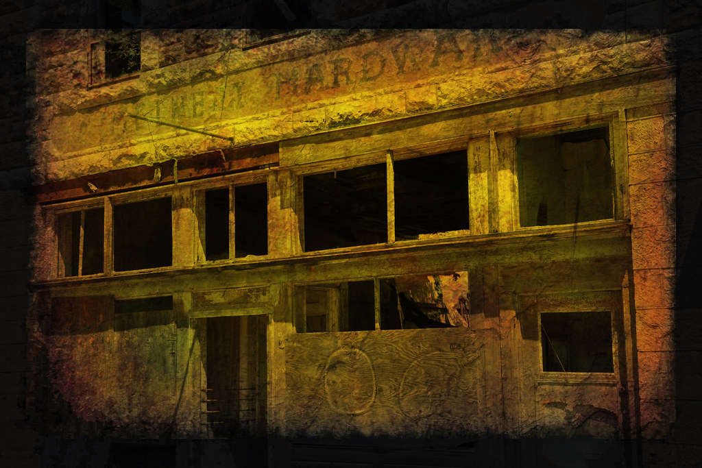
Meinert Hardware
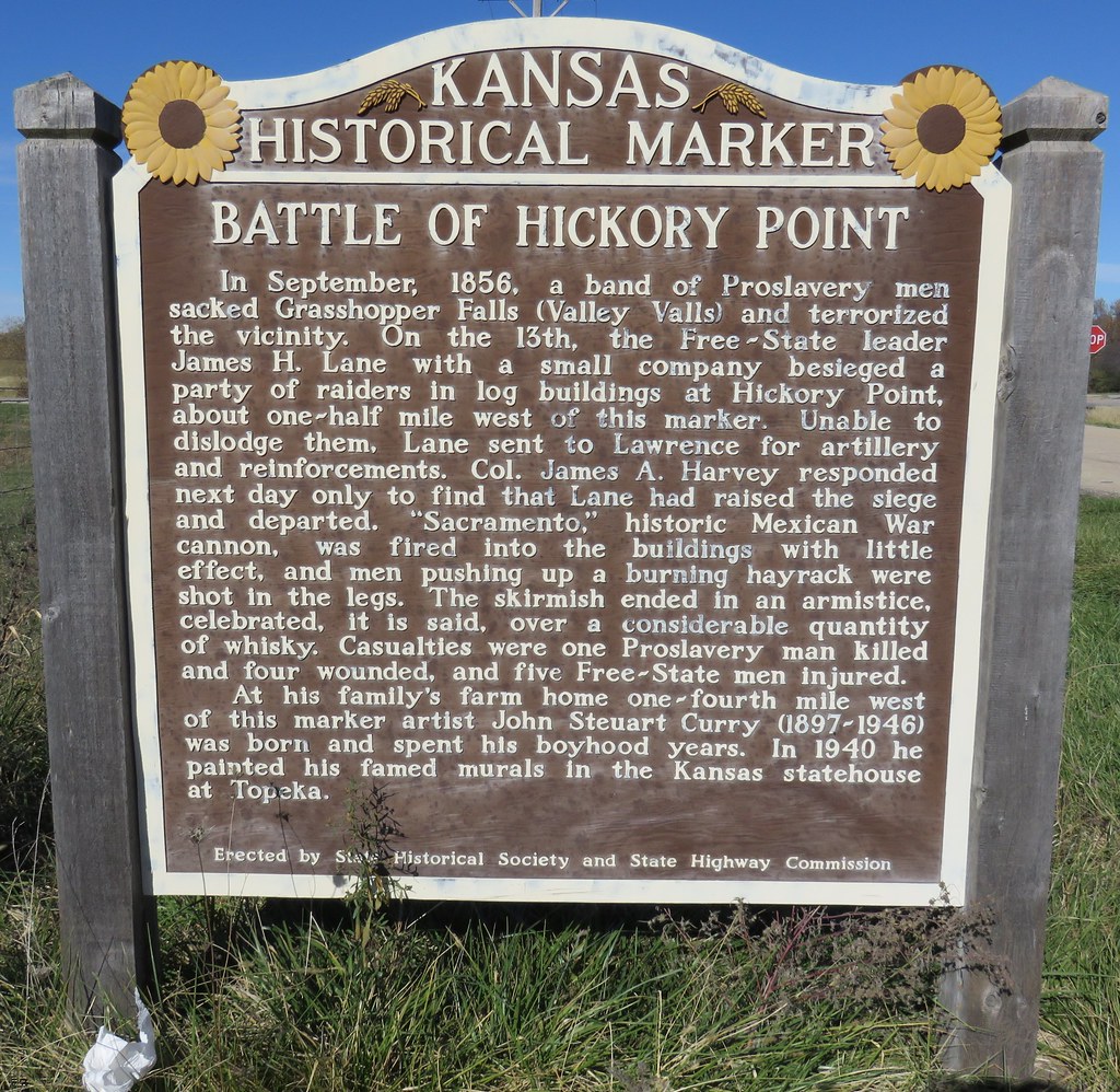
Battle of Hickory Point Marker (Jefferson County, Kansas)

#WorldSeries Game 2: Johnny Cueto dominates

#WorldSeries Game 2: Johnny Cueto dominates

#WorldSeries Game 2: Johnny Cueto dominates

#WorldSeries Game 2: Johnny Cueto dominates

From the Eye of a Horse

On our way home

Wine Tasting
Big Sky
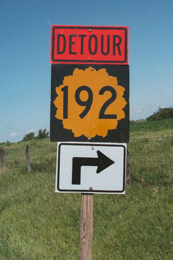
This Detour sign for K-192 used a square shield intended for two digit highways.....

324/365 [2013] - Happy Wedding
Topographic Map of Jefferson, KS, USA
Find elevation by address:

Places in Jefferson, KS, USA:
Places near Jefferson, KS, USA:
Winchester
Main St, Winchester, KS, USA
23612 Ks-192
235th Street & Broad Street
Easton
Easton
W Riley St, Easton, KS, USA
Alexandria
23689 Springdale Rd
23689 Springdale Rd
23689 Springdale Rd
29371 195th St
Smiley Rd, Leavenworth, KS, USA
Гилман-роуд, Leavenworth, KS, USA
High Prairie
Kickapoo
1625 Shawnee St
1412 S 16th St
921 Spruce St
Fort Leavenworth
Recent Searches:
- Elevation of Corso Fratelli Cairoli, 35, Macerata MC, Italy
- Elevation of Tallevast Rd, Sarasota, FL, USA
- Elevation of 4th St E, Sonoma, CA, USA
- Elevation of Black Hollow Rd, Pennsdale, PA, USA
- Elevation of Oakland Ave, Williamsport, PA, USA
- Elevation of Pedrógão Grande, Portugal
- Elevation of Klee Dr, Martinsburg, WV, USA
- Elevation of Via Roma, Pieranica CR, Italy
- Elevation of Tavkvetili Mountain, Georgia
- Elevation of Hartfords Bluff Cir, Mt Pleasant, SC, USA