Elevation of Spring Bay, ON P0P 2B0, Canada
Location: Canada > Ontario >
Longitude: -82.324262
Latitude: 45.73168
Elevation: 212m / 696feet
Barometric Pressure: 99KPa
Elevation Map:
Satellite Map:
Related Photos:

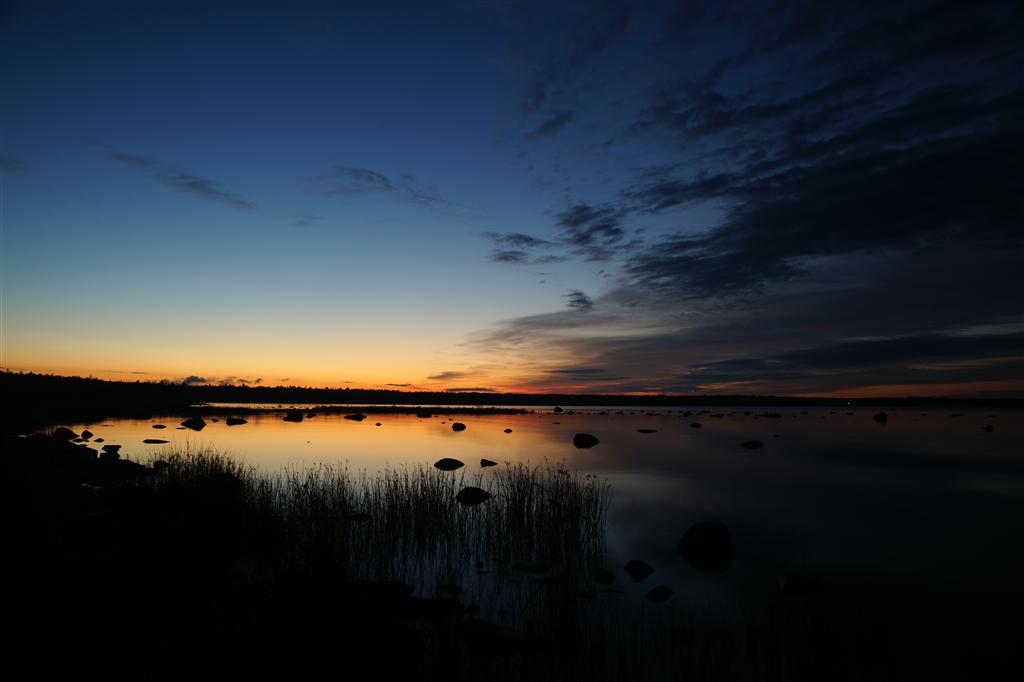
Sun Going Down-5764

Dark Sky-5772

Hollyhocks Along the Road-5742

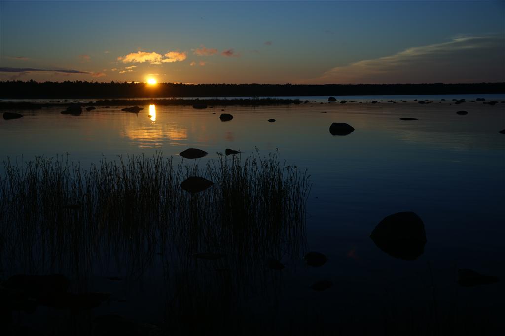
Sunset Side View-5780

Sunset Side View-5780

View Through the Trees-5726

20171019144041019 Lake Kagawong VIew from Food Tent - Manitoulin Island

20171019143937010 View towards Outhouse - Manitoulin Island

Sunrise on Mindemoya

201405301321004 Lot View from Lake Kagawong

201405301321003 Lot View from Lake Kagawong

Lake views

201605301657236 16ft Crestliner and 12ft Alumacraft boats at Camp - Lake Kagawong, Manitoulin

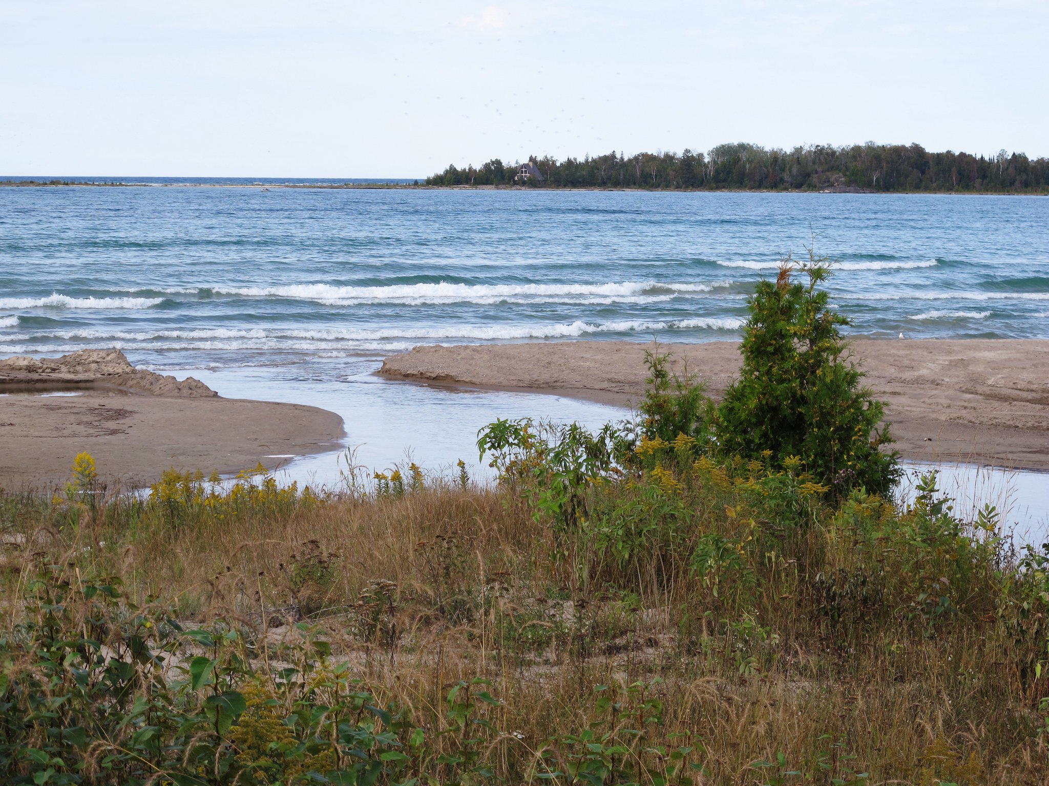
Lake Huron Cold

a morning road

Providence Bay

South Shore Manitoulin Island - Ontario, Canada

warming touch of sunrise
DSC03374 (Large)

Shoreside Sunset
Providence Bay 2

Melospiza melodia (Song Sparrow)

Swing so hard.

Melospiza melodia (Song Sparrow)

Dock on Lake Kagawong

Limenitis archippus (Viceroy Butterfly)
DSC03462 (Large)

Best beach in the country.

#idyllglen #mindemoya #manitoulin #island #kanada #canada #ontario

201305301558231 Boat Dock with 16ft Crestliner and 12ft Alumacraft - Manitoulin Island

201505221709148 Yarn Bomb - Manitoulin Island
Topographic Map of Spring Bay, ON P0P 2B0, Canada
Find elevation by address:

Places near Spring Bay, ON P0P 2B0, Canada:
205 Pinetree Trail
13 Will w Wisp Way, Mindemoya, ON P0P 1S0, Canada
Mindemoya
Central Manitoulin
Kagawong
Kagawong
Kagawong
Kagawong
Kagawong
1187 Tenth Line
1187 Tenth Line
Gordon
Billings
Billings
Billings
Manitoulin District
13 Hall St
Gore Bay
97 Sextant Point Dr
182 B
Recent Searches:
- Elevation of Corso Fratelli Cairoli, 35, Macerata MC, Italy
- Elevation of Tallevast Rd, Sarasota, FL, USA
- Elevation of 4th St E, Sonoma, CA, USA
- Elevation of Black Hollow Rd, Pennsdale, PA, USA
- Elevation of Oakland Ave, Williamsport, PA, USA
- Elevation of Pedrógão Grande, Portugal
- Elevation of Klee Dr, Martinsburg, WV, USA
- Elevation of Via Roma, Pieranica CR, Italy
- Elevation of Tavkvetili Mountain, Georgia
- Elevation of Hartfords Bluff Cir, Mt Pleasant, SC, USA