Elevation map of Manitoulin District, ON, Canada

Location: Canada > Ontario >

Longitude: -82.106162

Latitude: 45.783708

Elevation: 245m / 804feet

Barometric Pressure: 98KPa

Elevation Map:

elevation map of Manitoulin District, ON, Canada

Satellite Map:

Satellite map of Manitoulin District, ON, Canada

Related Photos:

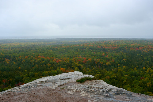
autostitch hiking trail manitoulin cupandsaucer niagaraescarpment
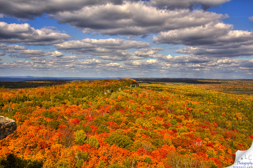
Cup and Saucer Trail 6
ontario manitoulinisland
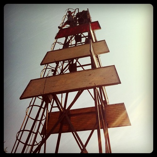
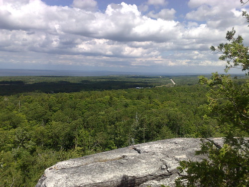
East Lookout on Cup and Saucer Trail
square squareformat hefe iphoneography instagramapp uploaded:by=instagram foursquare:venue=4bf98bb54a67c928b60e27cf
Great views
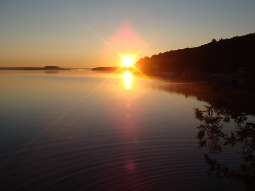
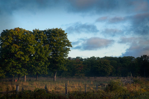
sunrise manitoulin changeeverything lakemindemoya
Sunrise on Mindemoya
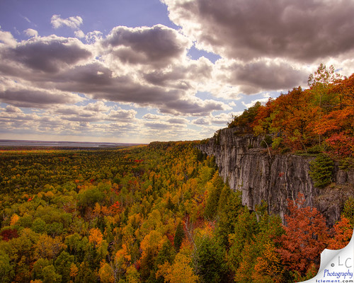
ontario canada trails northernontario fallcolours niagaraescarpment sheguiandah manitoulanisland
Cup & Saucer Trail #2
square sierra squareformat iphoneography instagramapp uploaded:by=instagram
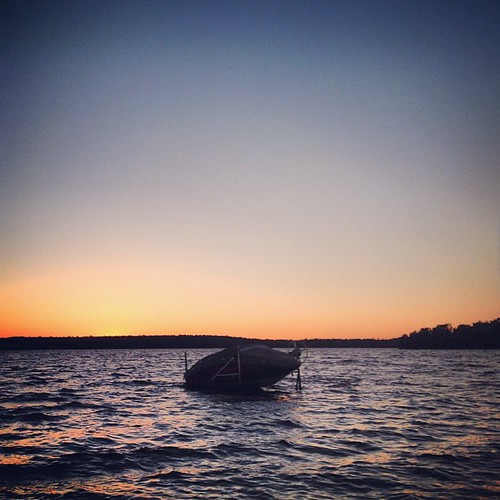
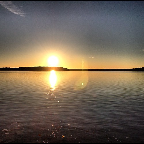
Big Lake Sunset
ontario manitoulinisland northernontario dje canonef24105f4lis djengland djenglandphotography douglasjengland canoneos5dmkiii
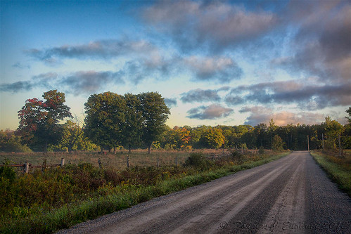
a morning road
water rapids timmins northernontario zeverlyrapids
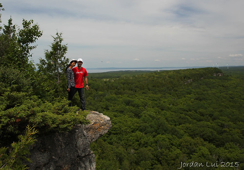
Cup & Saucer Trail
square lofi squareformat iphoneography instagramapp uploaded:by=instagram foursquare:venue=4c72b23a7121a1cd373163d1
From the Big Canoe
ontario manitoulinisland northernontario dje canonef24105f4lis djengland djenglandphotography douglasjengland canoneos5dmkiii
warming touch of sunrise
square squareformat rise iphoneography instagramapp uploaded:by=instagram
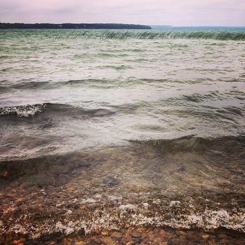
Big Lake morning
2007summerholiday
DSCN5622-hdr
ontario canada island manitoulin kanada mindemoya idyllglen uploaded:by=flickstagram instagram:photo=28128096333377449615441462 instagram:venue_name=idyllglen instagram:venue=35851007
#idyllglen #mindemoya #manitoulin #island #kanada #canada #ontario
square squareformat mayfair iphoneography instagramapp uploaded:by=instagram
Lake Mindemoya
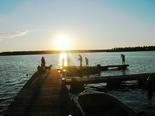
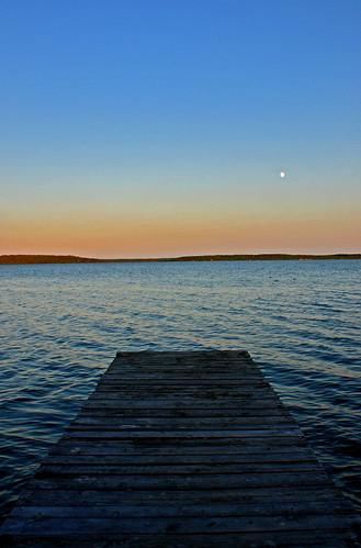
sunset moon lake dock
Sunset on Lake Mindemoya
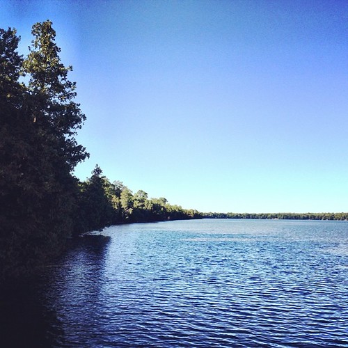
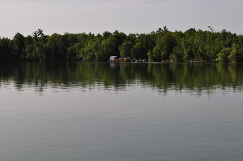
Lake Manitou
valencia square squareformat iphoneography instagramapp uploaded:by=instagram foursquare:venue=4c000be5daf9c9b68e2cfbef
Green land
camping holiday ontario canada kanada mindemoya idyllglen uploaded:by=flickstagram instagram:photo=28170203308588139415441462 instagram:venue_name=idyllglen instagram:venue=35851007
#idyllglen #ontario #mindemoya #kanada #canada #holiday #camping
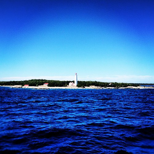
Lake Manitou
cameraphone canada celltagged geotagged zonetag manitoulin cellnetwork cell:mcc=302 cell:mnc=720 cell:lac=18000 geo:country=canada zipp0p geo:zip=p0p northeasternmanitoulinandislands geo:city=northeasternmanitoulinandislands geo:lat=45852073 geo:lon=82107623 cell:cellid=24781
ZoneTag Photo Sunday 11:59 am 7/13/08 Northeastern Manitoulin and Islands,
morning blue sky lake canada water landscape see stones natur manitoulinisland kanada sandfield lakemanitou sigma1770 sigma1770mm karstenhansen pentaxk3 hutchinsonscabins
manitoulin island
travel ontario canada nature landscape hiking manitoulin
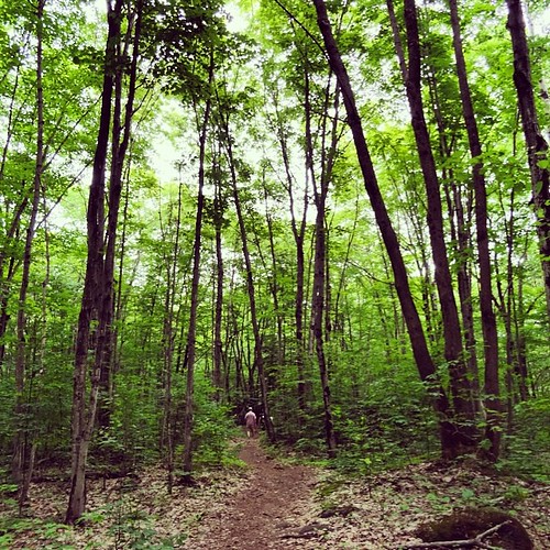
Cup and Saucer Trail
square squareformat iphoneography instagramapp uploaded:by=instagram
Big Lake Sunset
square squareformat iphoneography instagramapp uploaded:by=instagram foursquare:venue=4fdd0f64e4b0f8bdf42abc8b
Manitoulin Sunset