Elevation of ON-, Little Current, ON P0P 1K0, Canada
Location: Canada > Ontario > Manitoulin District > Northeastern Manitoulin And The Islands >
Longitude: -82.061299
Latitude: 45.9459207
Elevation: 185m / 607feet
Barometric Pressure: 99KPa
Elevation Map:
Satellite Map:
Related Photos:
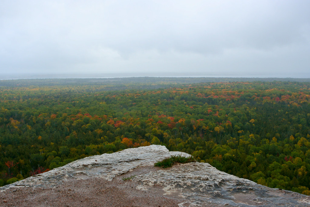
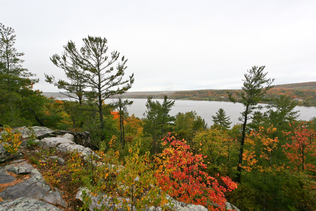
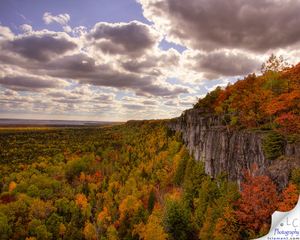
East Lookout on Cup and Saucer Trail
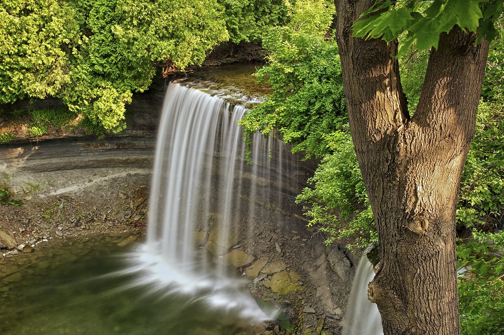
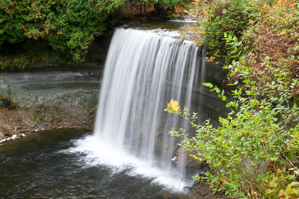
bridal veil falls, kagawong, manitoulin island, ontario

Our view from our hotel room at the anchor inn with awesome fish!
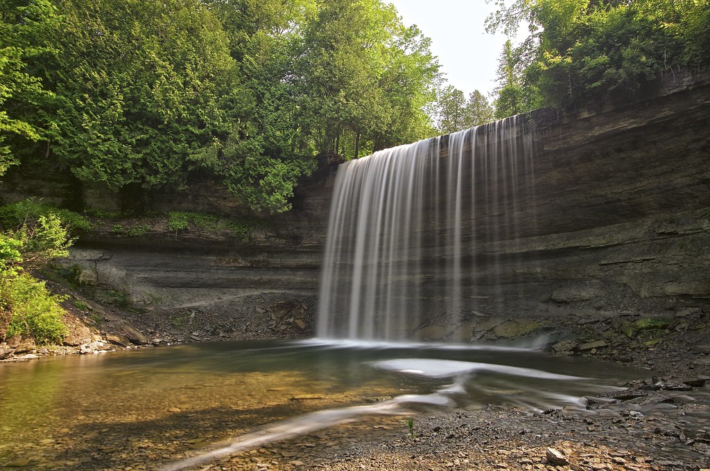
Bridal Veil Falls (Kagawong, ON) [21/52]
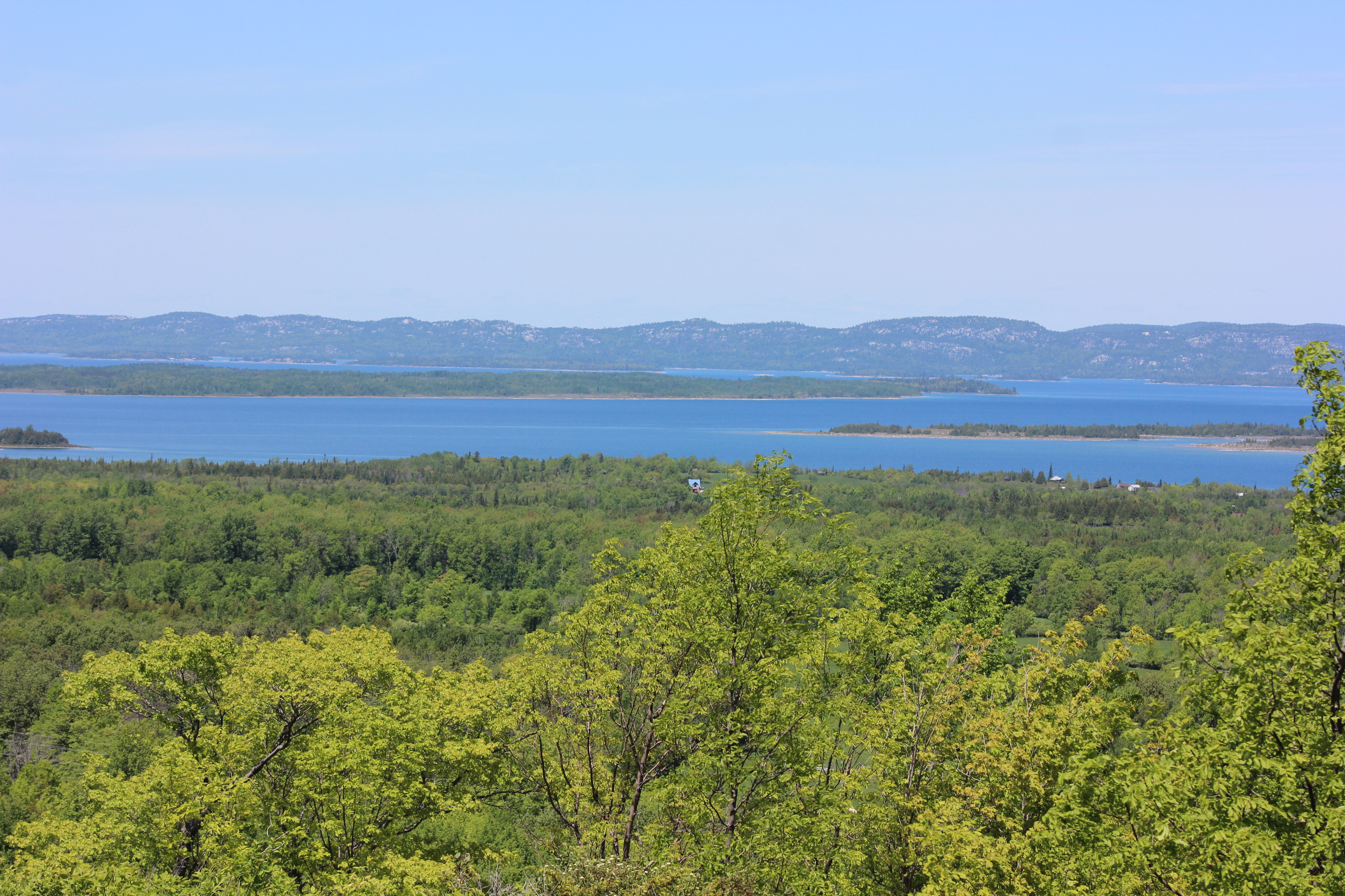
Cup and Saucer Trail 6
Lewis Twin Peaks Trail Lookout
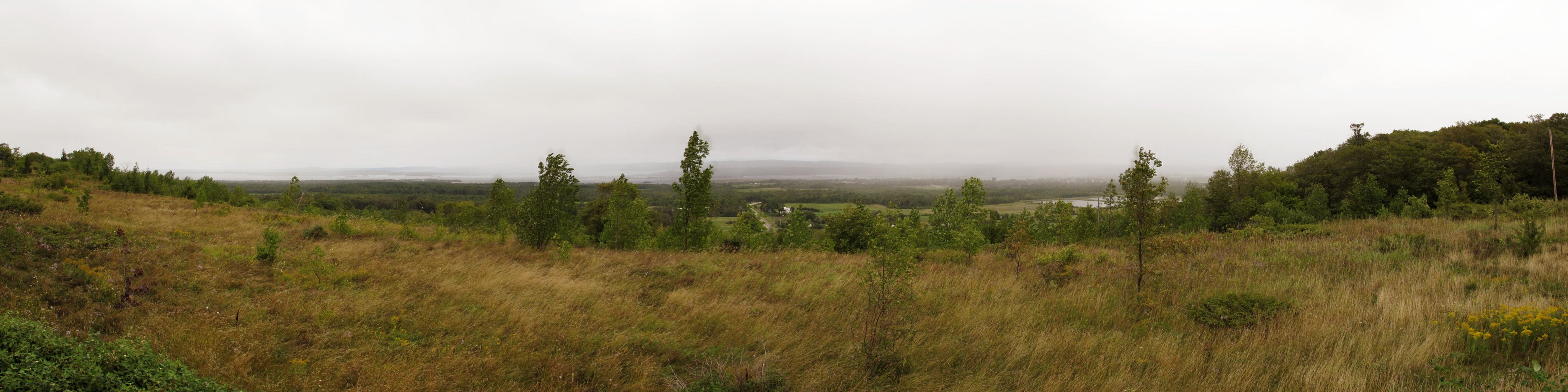
McLean's Mountain Lookout
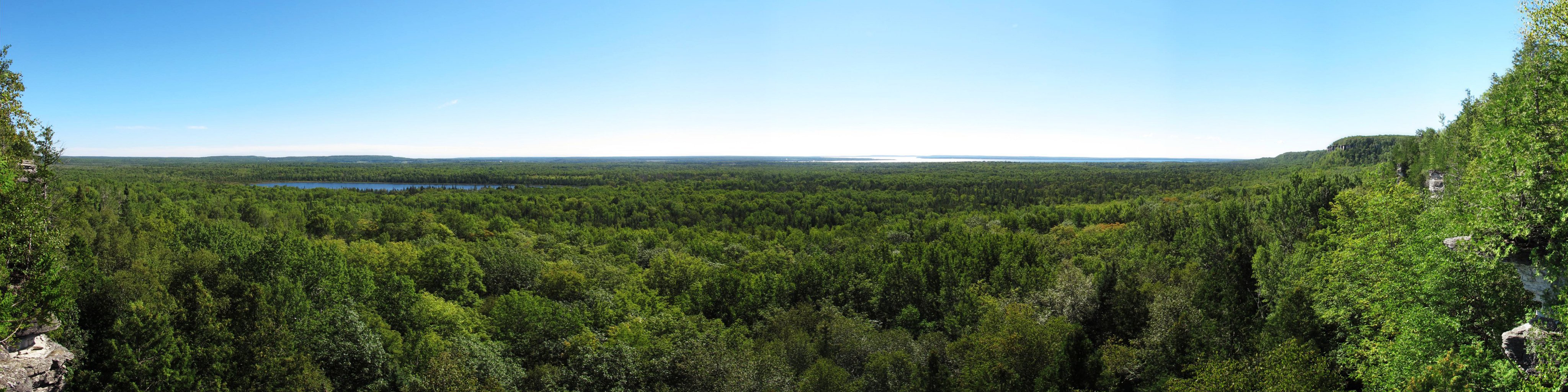
View from McLean's Mountain, Manitoulin Island

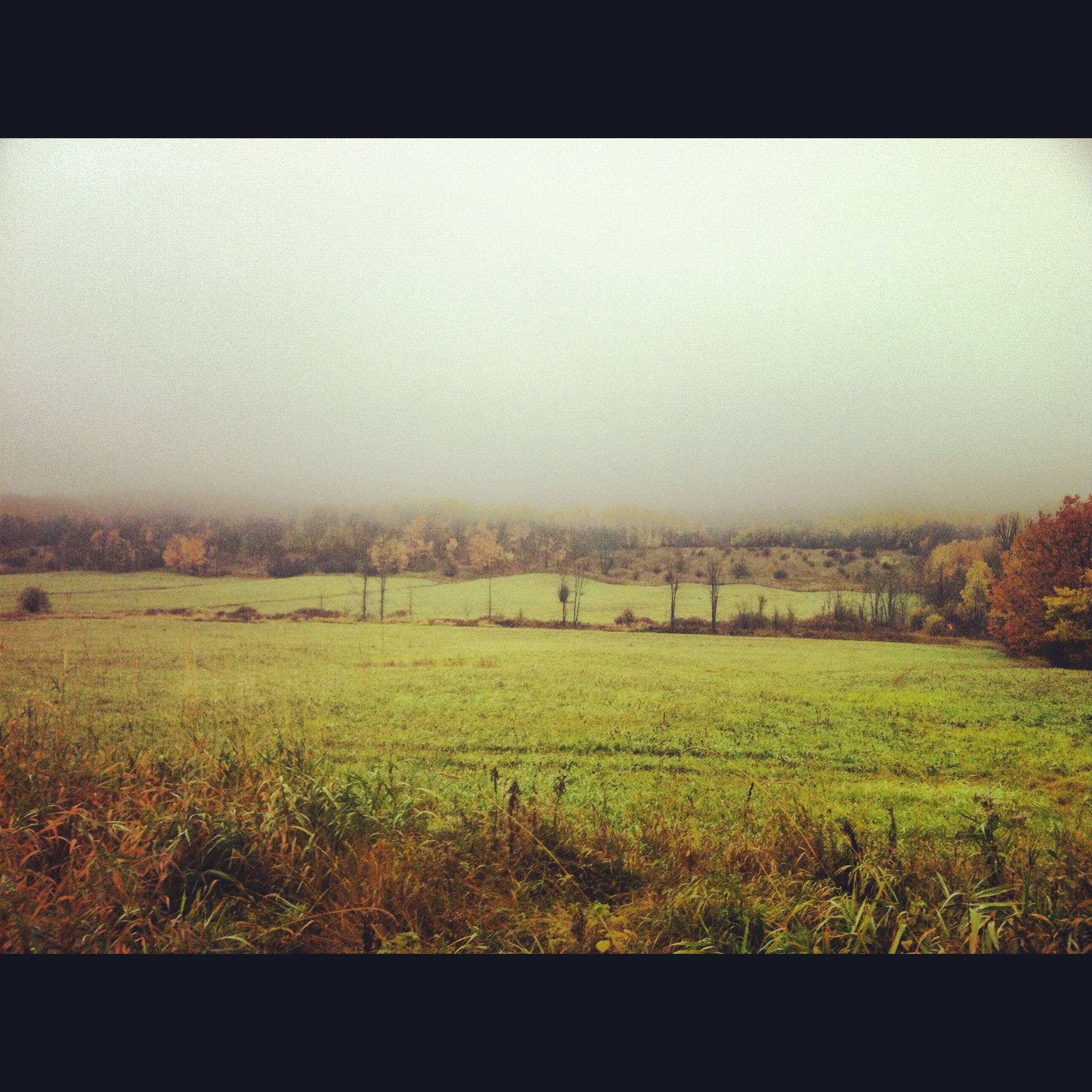
View through the trees

View from above

little current swing bridge, manitoulin island, ontario
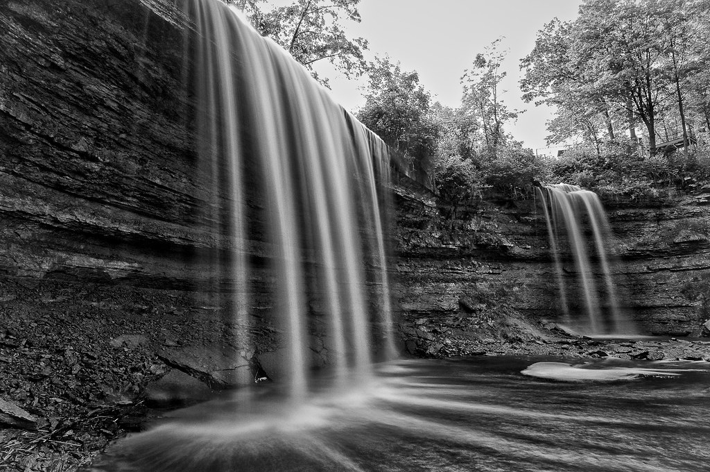
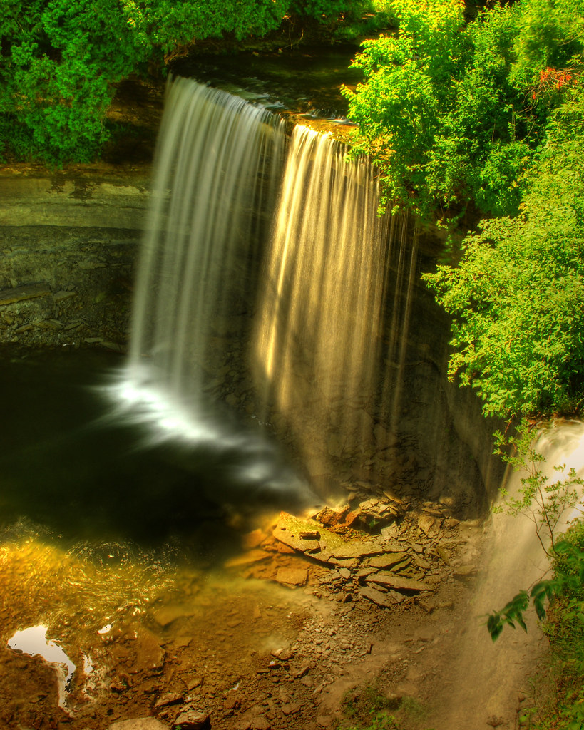
bridal veil falls, kagawong, manitoulin island, ontario
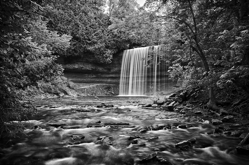
bridal veil falls, kagawong, manitoulin island, ontario
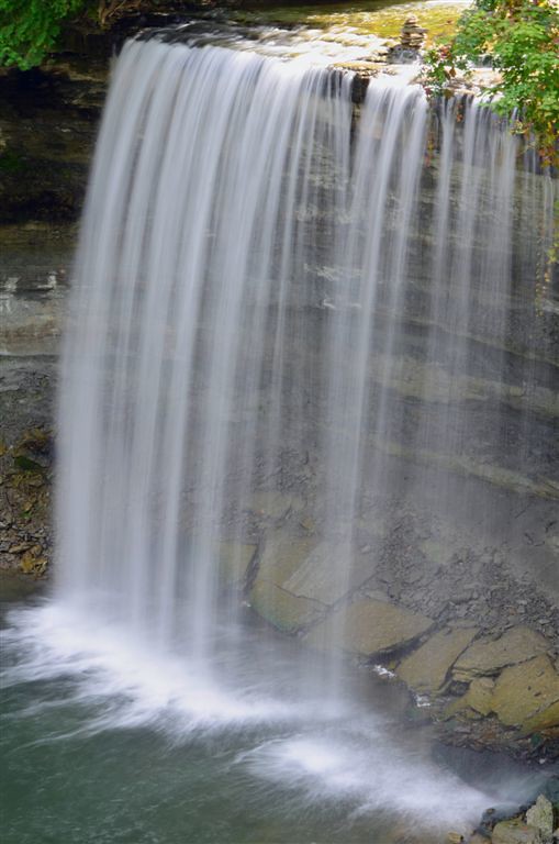
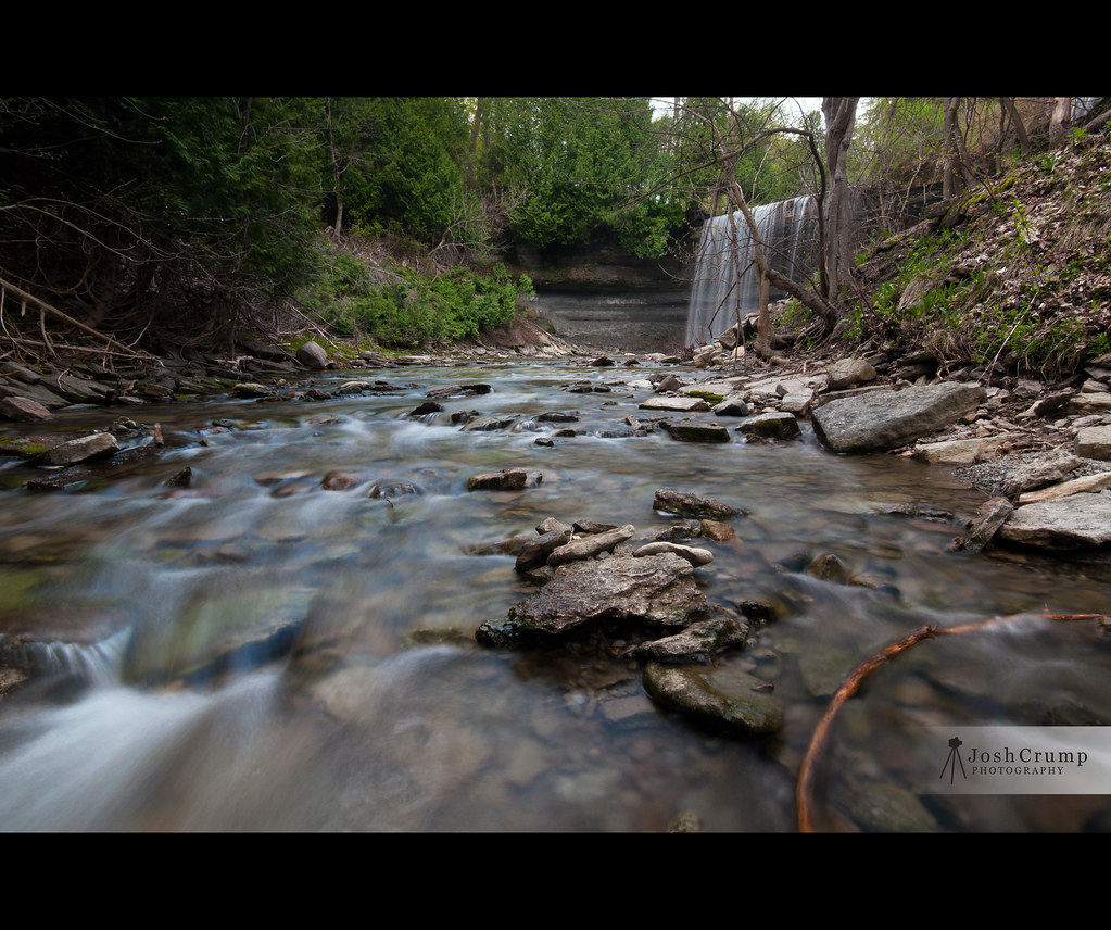
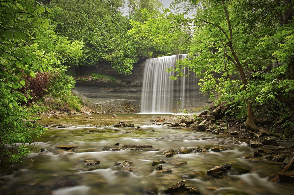
Kagawong Falls 2011
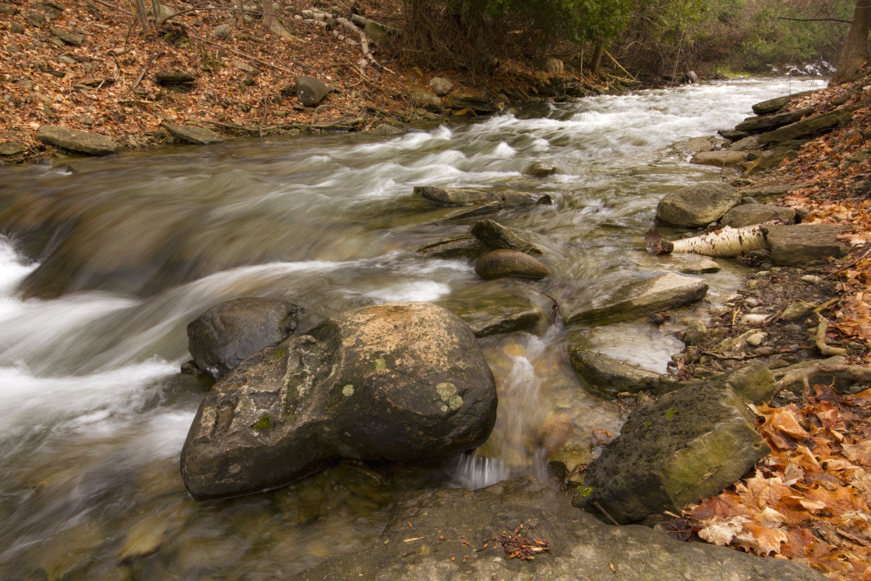
Below the Falls
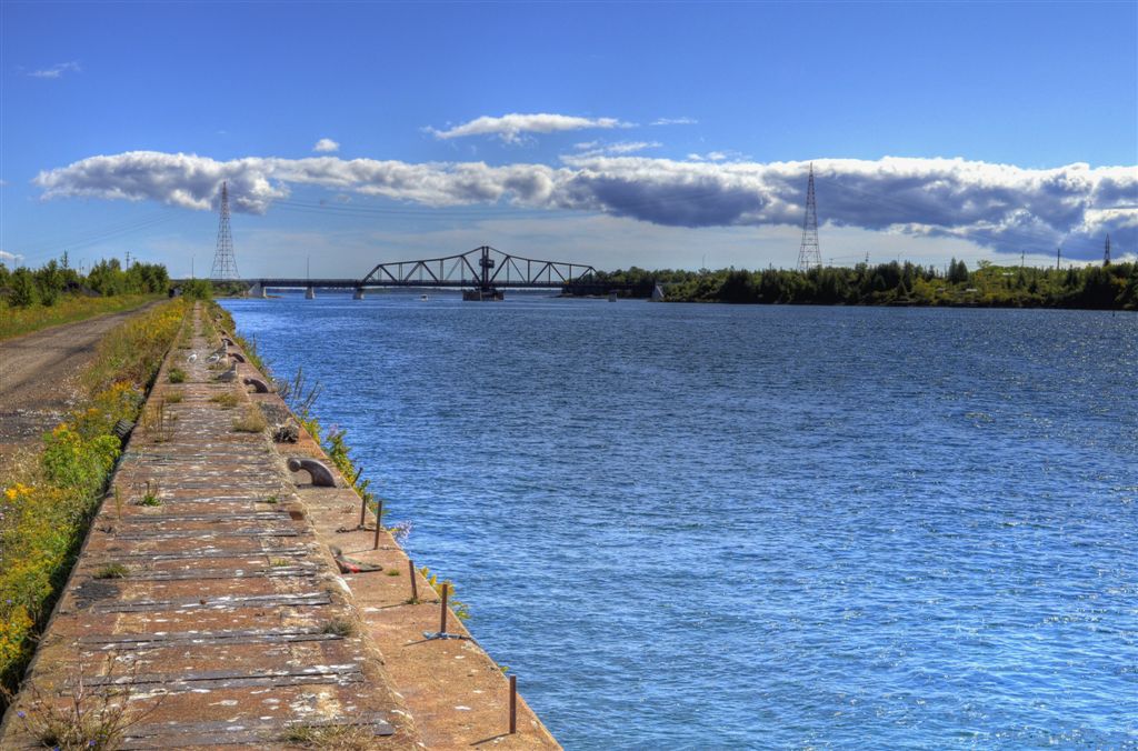
North Channel
bridal veil falls, kagawong, manitoulin island, ontario

Bridal Veil Falls

bridal veil falls, manitoulin island, ontario
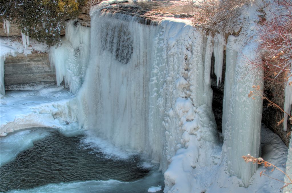
Bridal Veil Falls (Feb 2012)
Cup & Saucer Trail #2
Work place - Michael Belmore
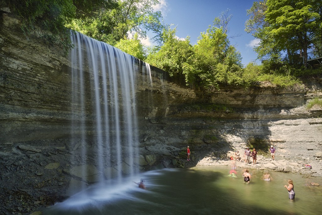
bridal veil falls, manitoulin island, ontario
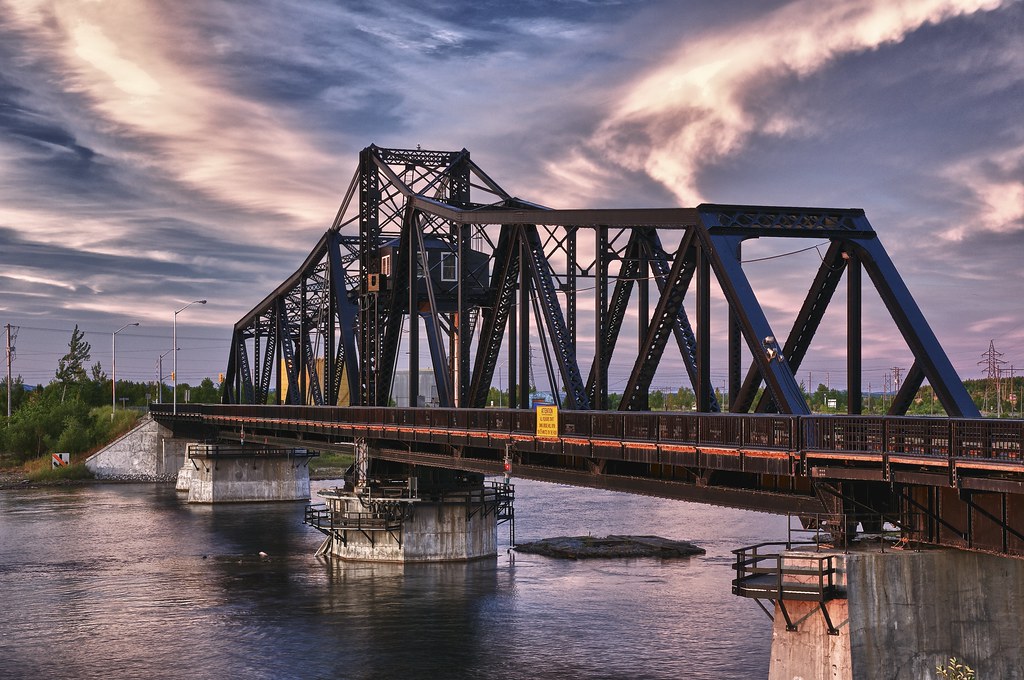
little current swing bridge, manitoulin island, ontario
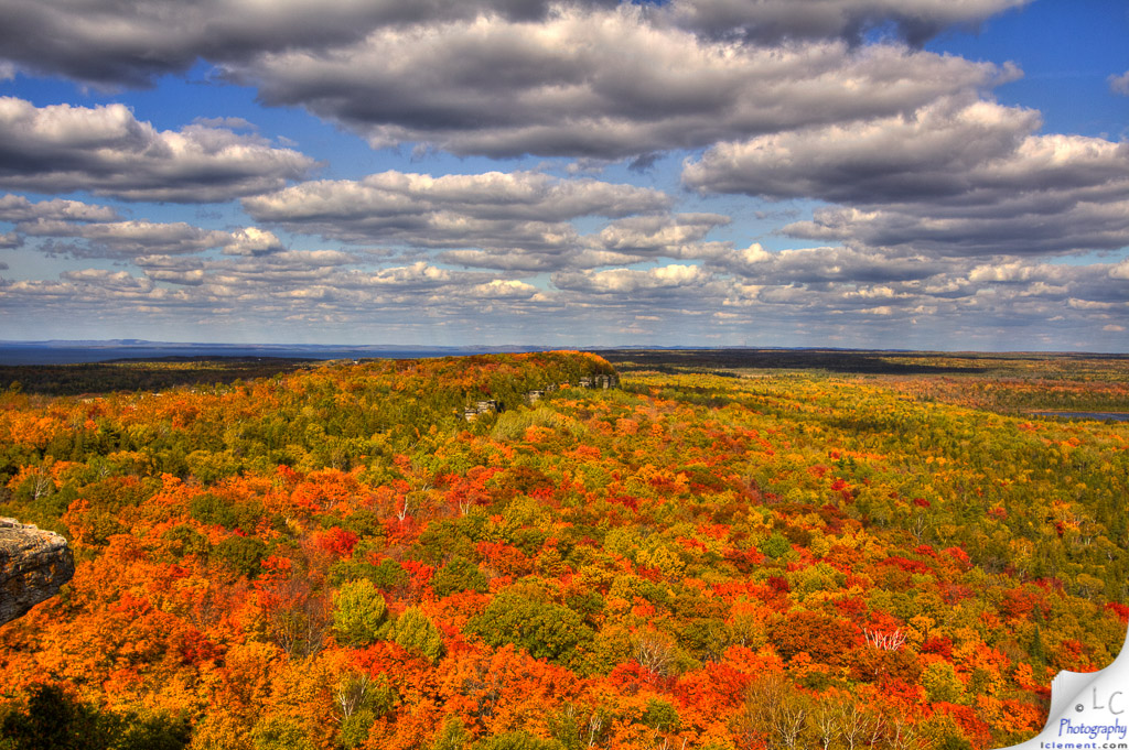
Cup & Saucer Trail
bridal veil falls, kagawong, manitoulin island, ontario
Bridal Veil Falls
Bridal Veil Falls 02
Topographic Map of ON-, Little Current, ON P0P 1K0, Canada
Find elevation by address:

Places near ON-, Little Current, ON P0P 1K0, Canada:
1331 On-540
72 Mcleans Mountain Rd
Morphets Side Road
9 Cockburn St
Little Current
11 Meredith St E
Oakcliff Dr N, Mindemoya, ON P0P 1S0, Canada
Bidwell Rd, Manitowaning, ON P0P 1N0, Canada
Billings
Billings
Billings
Manitoulin District
18 ON-6, Northeastern Manitoulin and the Islands, ON P0P, Canada
Pepper Point Rd, Sheguiandah, ON P0P 1W0, Canada
182 B
Kagawong
Kagawong
Kagawong
Kagawong
Kagawong
Recent Searches:
- Elevation of Corso Fratelli Cairoli, 35, Macerata MC, Italy
- Elevation of Tallevast Rd, Sarasota, FL, USA
- Elevation of 4th St E, Sonoma, CA, USA
- Elevation of Black Hollow Rd, Pennsdale, PA, USA
- Elevation of Oakland Ave, Williamsport, PA, USA
- Elevation of Pedrógão Grande, Portugal
- Elevation of Klee Dr, Martinsburg, WV, USA
- Elevation of Via Roma, Pieranica CR, Italy
- Elevation of Tavkvetili Mountain, Georgia
- Elevation of Hartfords Bluff Cir, Mt Pleasant, SC, USA