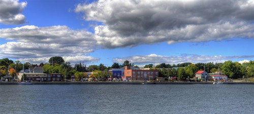
Elevation of Pepper Point Rd, Sheguiandah, ON P0P 1W0, Canada

Location: Canada > Ontario > Manitoulin District > Northeastern Manitoulin And The Islands >

Longitude: -81.883742

Latitude: 45.886095

Elevation: 176m / 577feet

Barometric Pressure: 99KPa

Elevation Map:

elevation map of Pepper Point Rd, Sheguiandah, ON P0P 1W0, Canada

Satellite Map:

Satellite map of Pepper Point Rd, Sheguiandah, ON P0P 1W0, Canada

Related Photos:

anchorinn uploaded:by=flickrmobile flickriosapp:filter=peacock peacockfilter
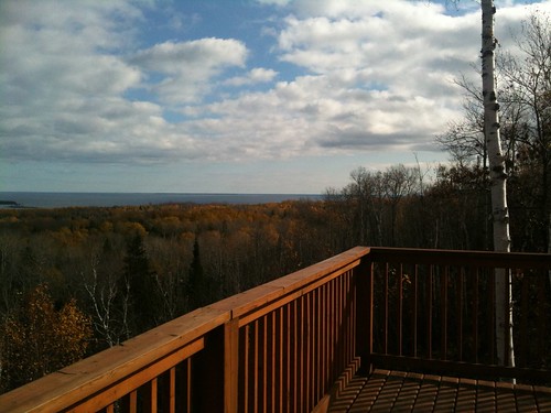
Our view from our hotel room at the anchor inn with awesome fish!
ontario island pentax k1000 manitowaning manitoulin
Manitoulin Island
hiking wikwemikong manitoulin bebamikawe
Bebamikawe Memorial Trail
lighthouse lakehuron nikontc301teleconverter sonynex5n nikkor200600mmf95superzoomlens vacation2012easternlakesnex
Strawberry Island Light
ontario manitoulinisland
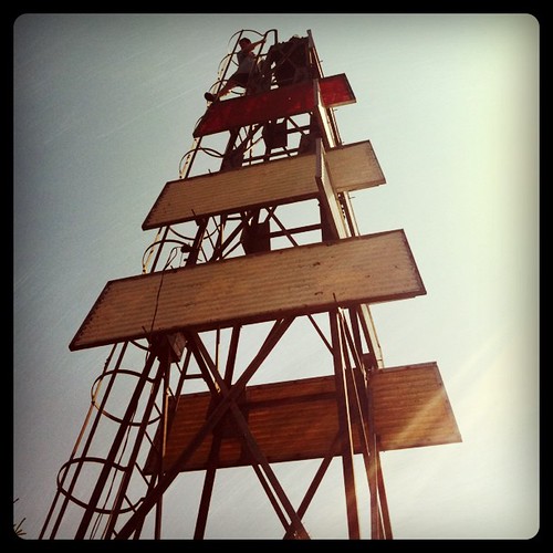
Lewis Twin Peaks Trail Lookout
autostitch pano lookout manitoulin mcleansmountain
McLean's Mountain Lookout
ontario canada manitoulinisland geo:country=canada tenmilepoint geocode:method=googleearth geocode:accuracy=50meters
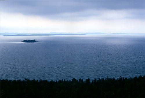
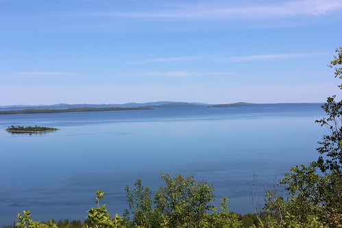
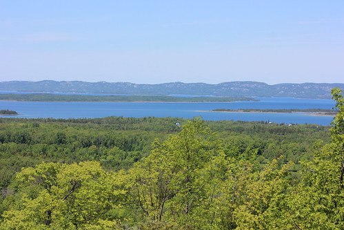
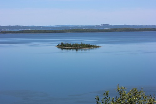
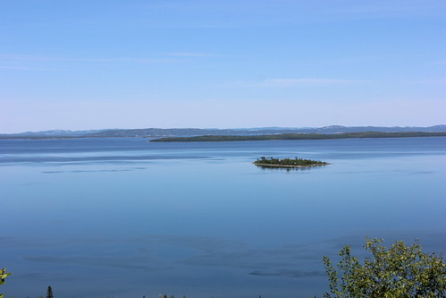
View from Ten-mile Point, Manitoulin Island
ontario canada manitoulinisland geo:country=canada geocode:method=googleearth geocode:accuracy=50meters mcleansmountain
View from McLean's Mountain, Manitoulin Island
ontario canada landscape manitoulinisland gorebay
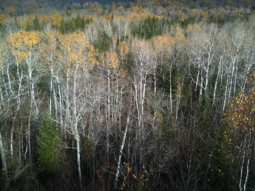
View through the trees
ontario canada manitoulinisland geo:country=canada tenmilepoint geocode:method=googleearth geocode:accuracy=50meters
View from Ten-mile Point, Manitoulin Island
ontario canada manitoulinisland geo:country=canada tenmilepoint geocode:method=googleearth geocode:accuracy=50meters
View from Ten-mile Point, Manitoulin Island
ontario canada landscape manitoulinisland gorebay escarpement
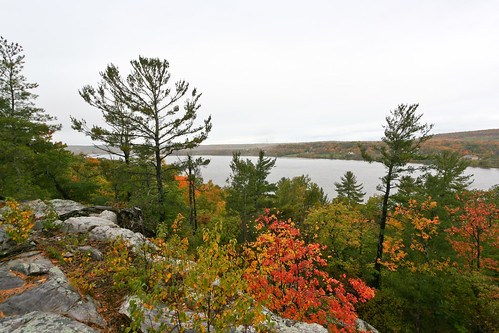
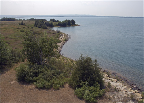
View from above
hiking wikwemikong manitoulin bebamikawe
Bebamikawe Memorial Trail
square squareformat hefe iphoneography instagramapp uploaded:by=instagram foursquare:venue=4bf98bb54a67c928b60e27cf
Great views
manitoulin nature northernontario ontario lighthouse
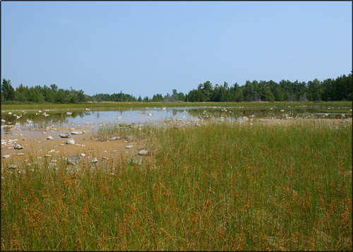
Der Swamp
manitoulin yard coast nature northernontario ontario lighthouse
The North Channel from Strawberry Island
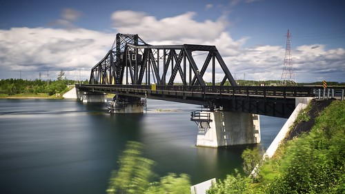
longexposure summer ontario water sunshine clouds manitoulinisland vignette navigation lakehuron onelanebridge 30seconds northernontario northchannel goatisland highway6 movablebridge bigstopper algomaeasternrailway littlecurrentswingbridge fujixe1 gnd3s xf1855mm leeseven5
little current swing bridge, manitoulin island, ontario
square squareformat iphoneography instagramapp uploaded:by=instagram
Yesterday's Island Ways #landscape #landscape_captures #landscape_lovers #landscapes #pocket_canada #pocket_family #igs_can #icu_canada #manitoulinisland #manitoulin #ontario #travelontario #traveltheworld #explore #exploreontario #exploretheworld
ontario canada aer manitoulinisland swingbridge northchannel hwy6 historicbridge trussbridge canadianbridge throughtruss swingtruss thrutruss moveablebridge ontarioheritageact canadianbridgecompany algomaeasternrailway littlecurrentswingbridge ontarioheritagebridgelist kingshighway6
Little Current Swing Bridge
Work place - Michael Belmore
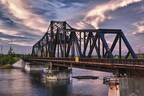
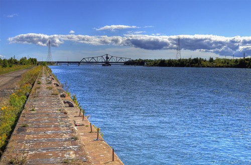
sunset summer sky ontario water evening walkway manitoulinisland navigation lakehuron onelanebridge northernontario littlecurrent northchannel hwy6 goatisland highway6 movablebridge hdr2 algomaeasternrailway littlecurrentswingbridge
little current swing bridge, manitoulin island, ontario
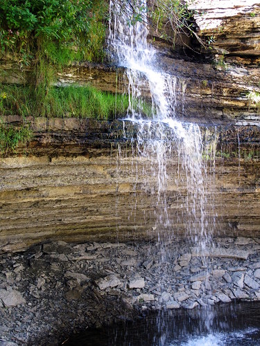
waterfall manitoulin highfalls
High Falls 1
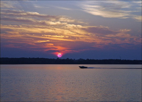
marmac sunset northernontario manitoulin
Whites Point Summer Evening
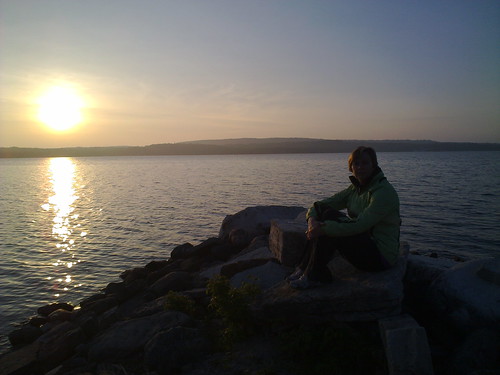
sunset lorie sheguiandah batmanscamping
2010-05-25
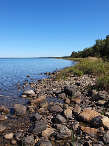
lake rocks shore manitoulin huron tenmilepoint
Ten Mile Point 4
simplyred simplyred4x4
North Channel
ontario littlecurrent northchannel
Little Current, Ontario.
simplyred simplyred4x4
Little Current, Ontario (Waterside)