Elevation of Manitoulin, Unorganized, West Part, ON, Canada
Location: Canada > Ontario > Manitoulin District >
Longitude: -82.945799
Latitude: 45.8769365
Elevation: 228m / 748feet
Barometric Pressure: 99KPa
Elevation Map:
Satellite Map:
Related Photos:
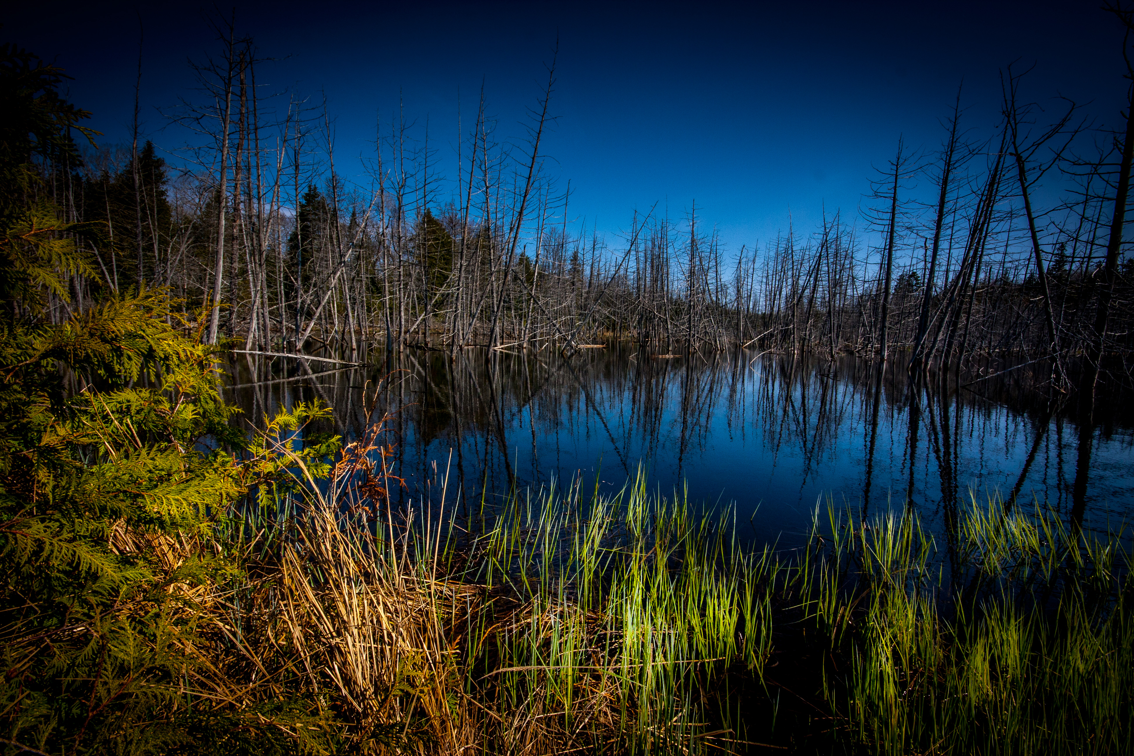
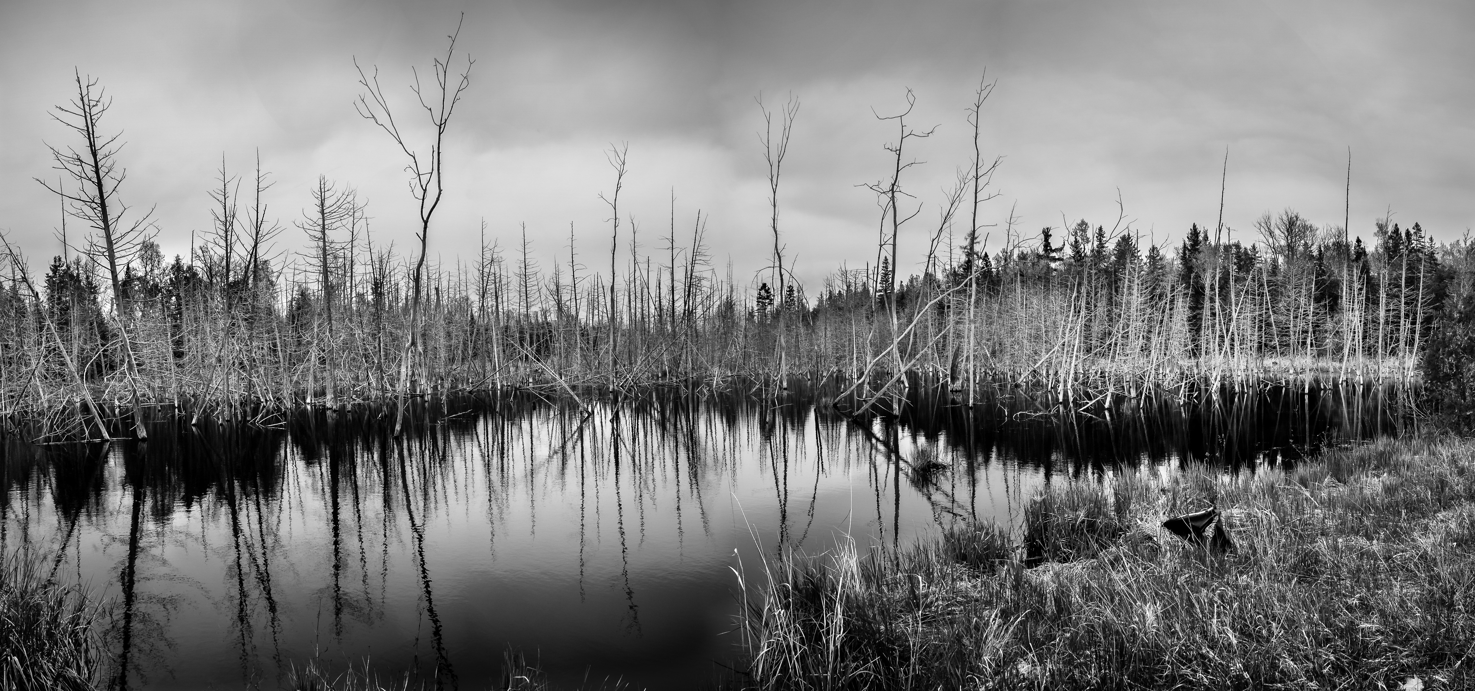
Beaver Meadow

Right leaning

Bridal Veil Falls, Manitoulin Island
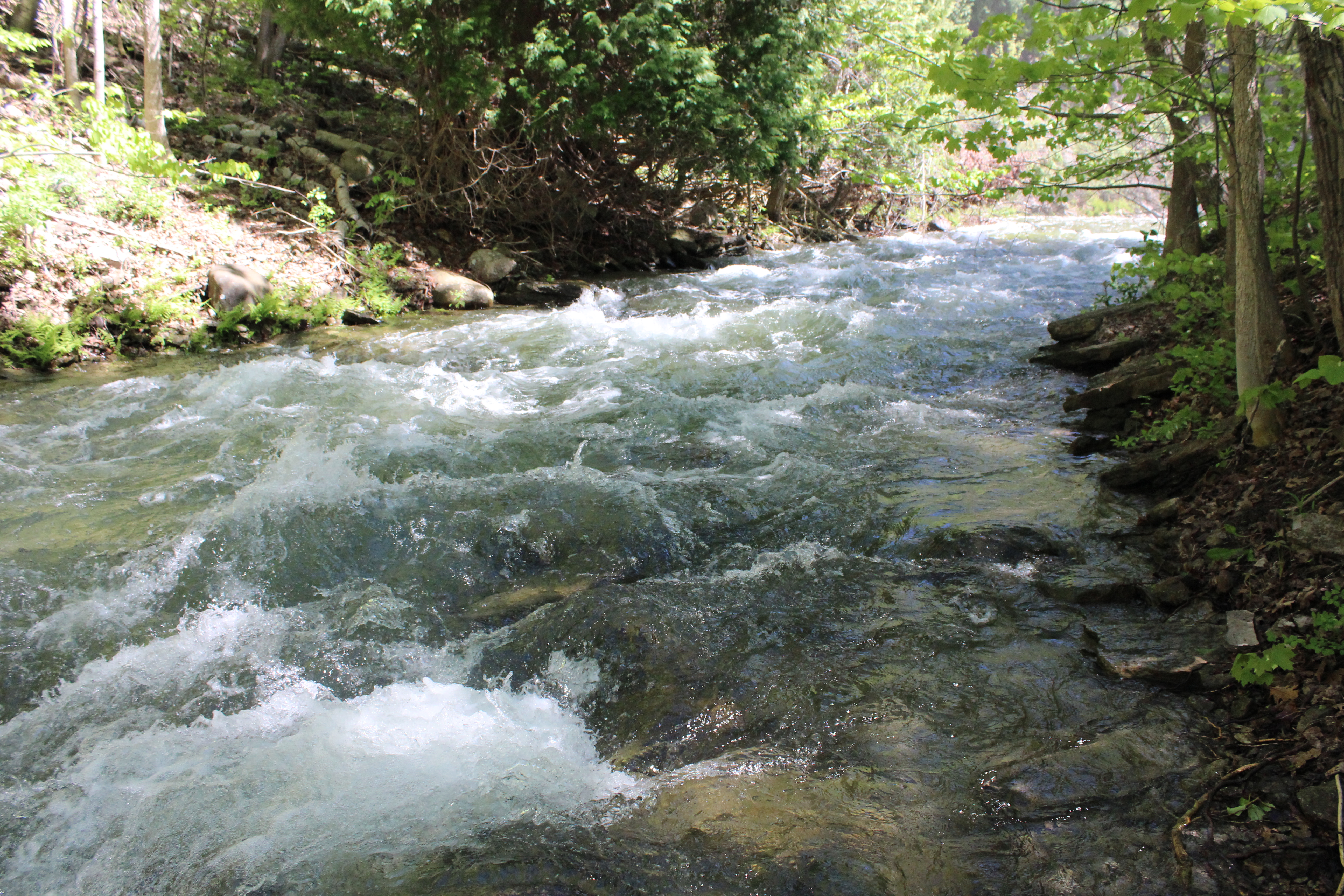
Stream below Bridal Falls, Manitoulin Island

Bridal Veil Falls, Manitoulin Island
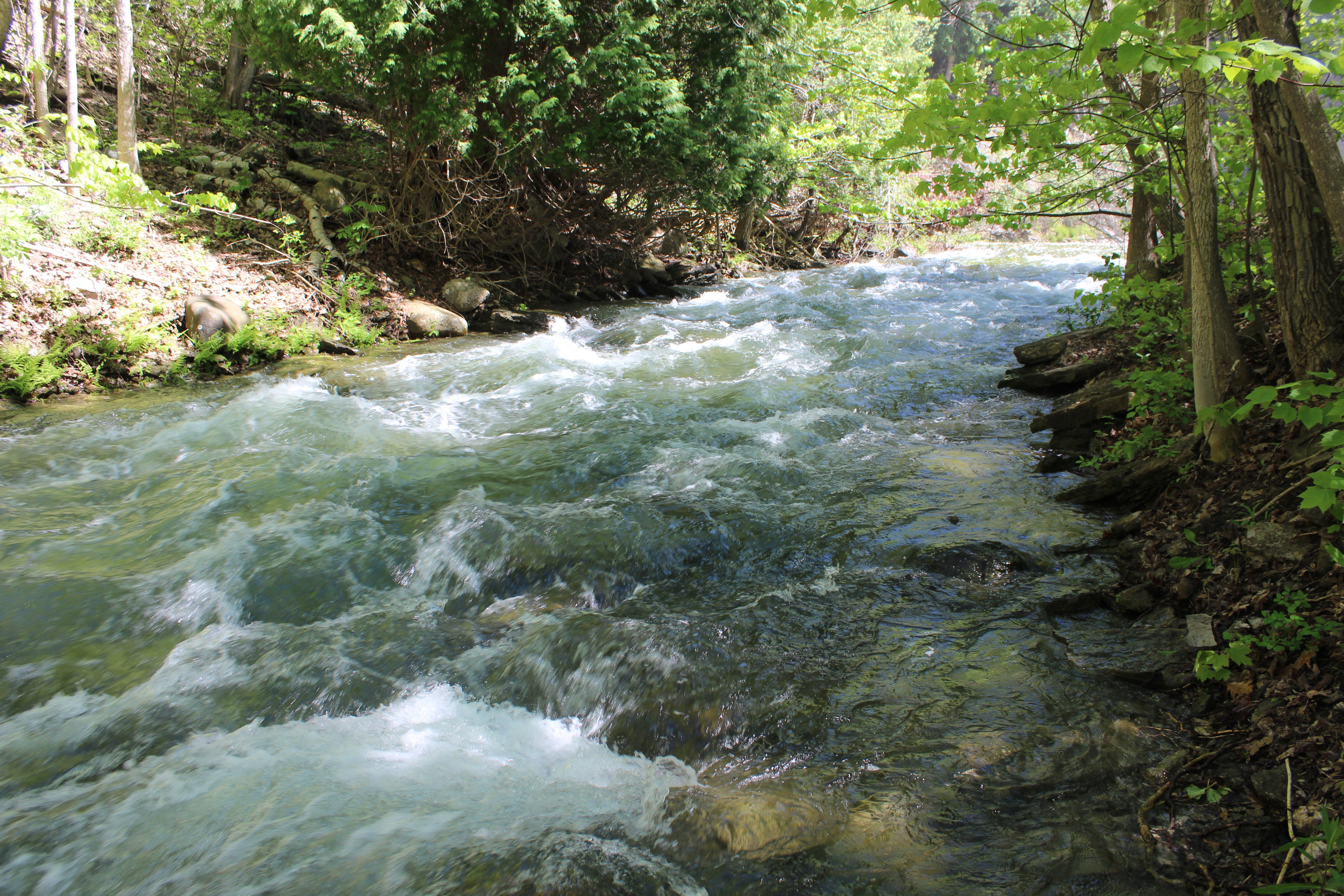
Stream below Bridal Falls, Manitoulin Island
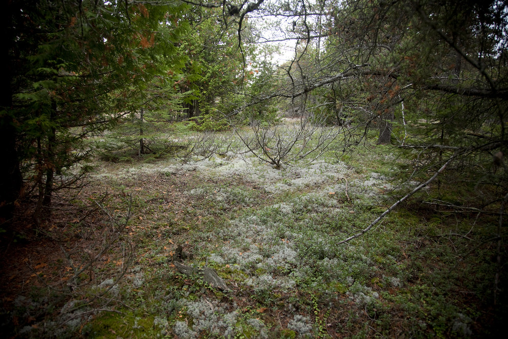
Alvar forest, Burnt Island alvar, Manitoulin Island

Stream below Bridal Falls, Manitoulin Island
Roadside Panorama

Meldrum Bay
Distant Horizon
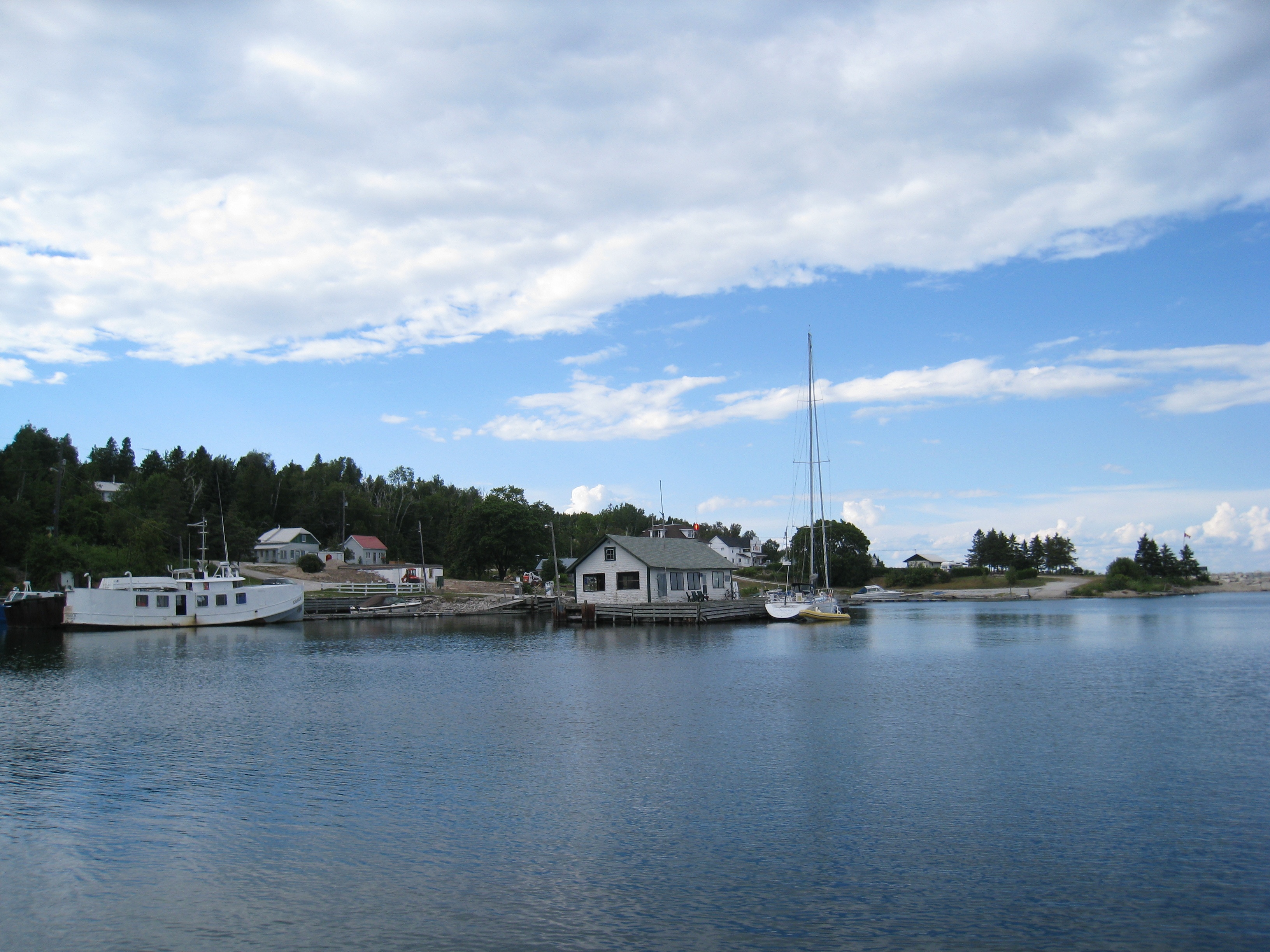
Meldrum Bay
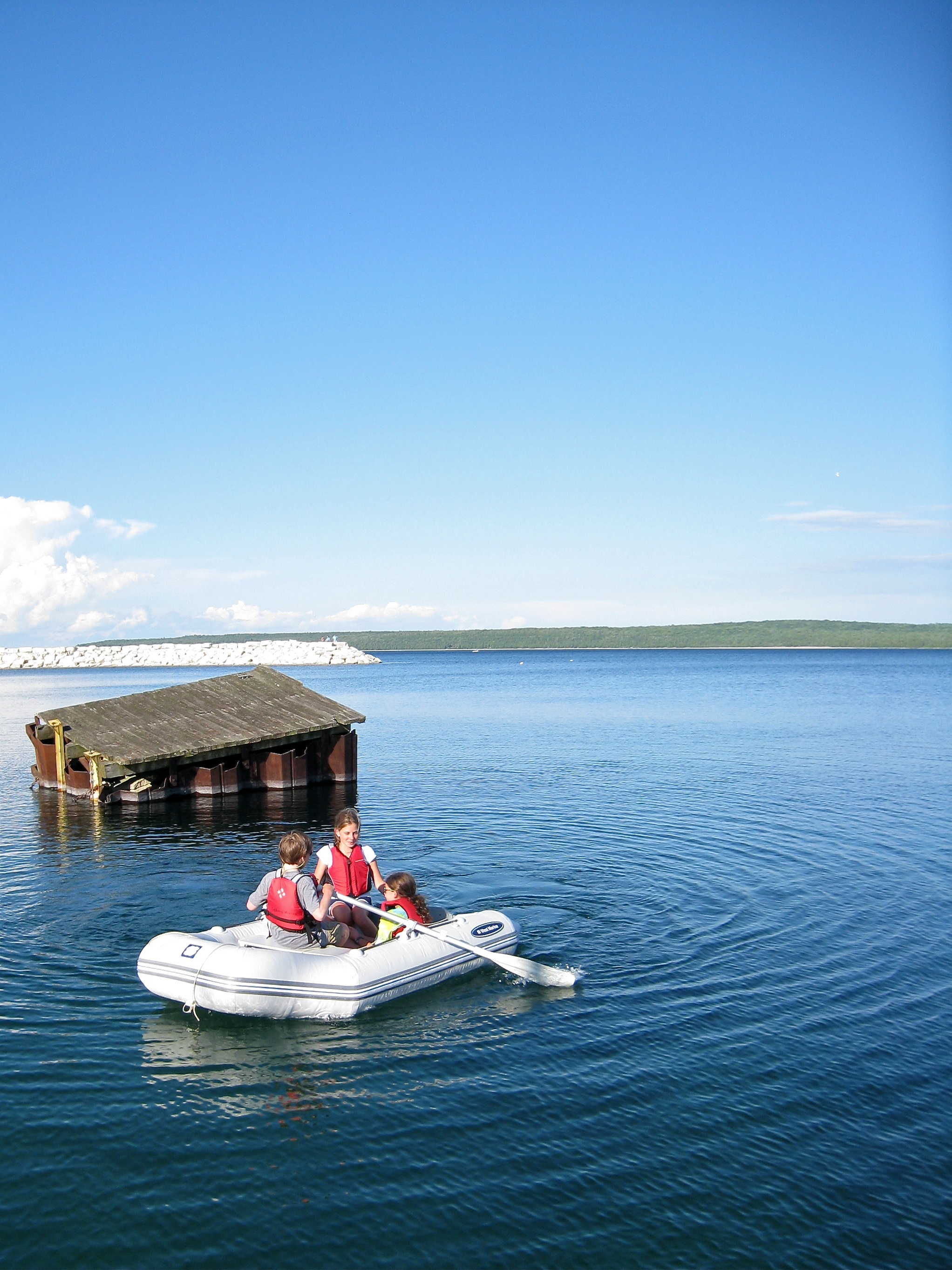
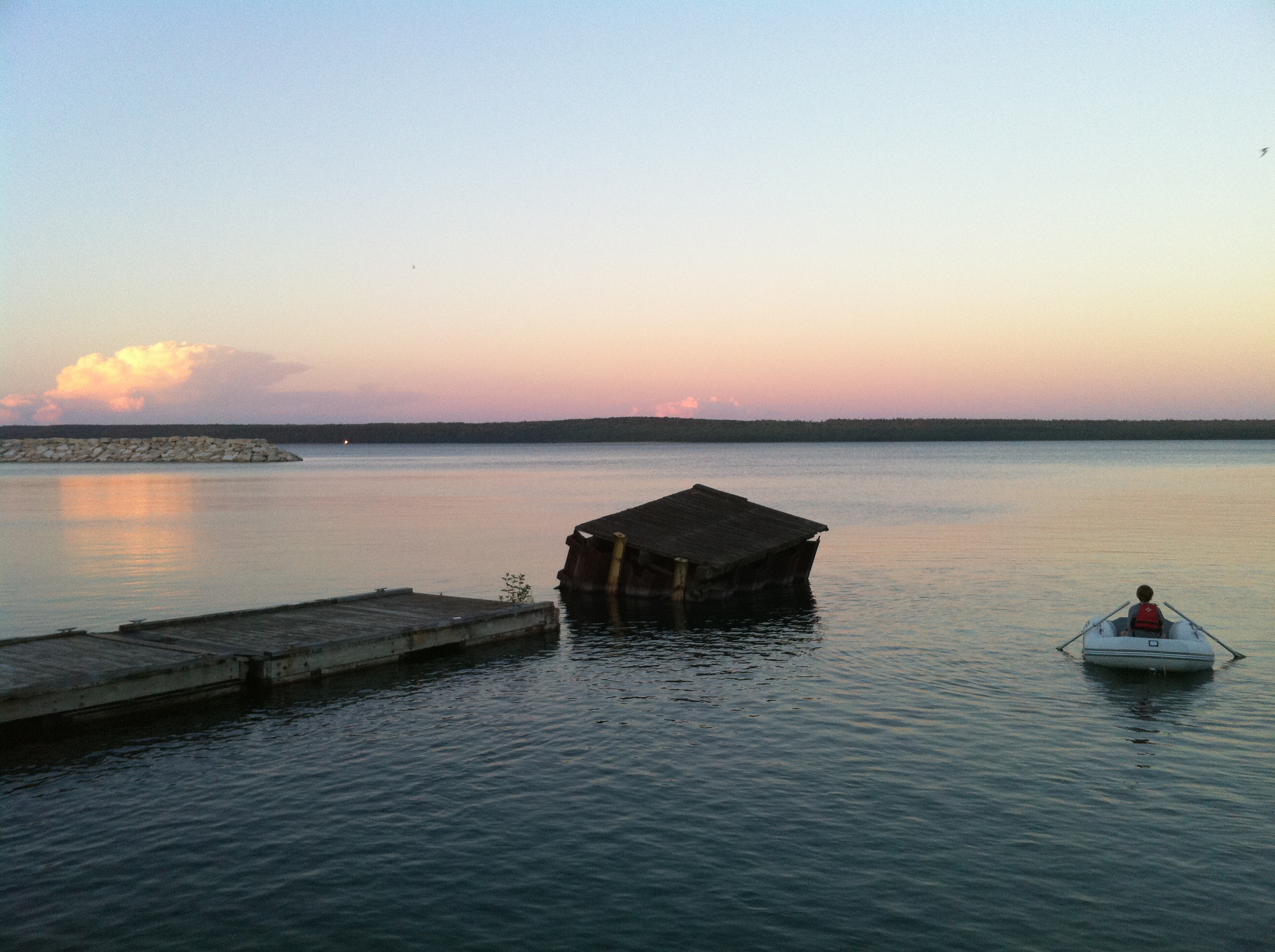
A Whole Lake To Explore
Topographic Map of Manitoulin, Unorganized, West Part, ON, Canada
Find elevation by address:

Places in Manitoulin, Unorganized, West Part, ON, Canada:
Places near Manitoulin, Unorganized, West Part, ON, Canada:
Silver Water
ON-, Silver Water, ON P0P 1Y0, Canada
Blind River
P0r 1b0
Mel Lake Rd, Blind River, ON P0R 1B0, Canada
P0p 1e0
Algoma Mills
P0r 1a0
Vivian Blvd, Blind River, ON P0R 1B0, Canada
1015 Hwy 17
Bailey Line Rd, Evansville, ON P0P 1E0, Canada
Burpee And Mills
Evansville
Long St, Spragge, ON P0R 1K0, Canada
Short St, Spragge, ON P0R 1K0, Canada
1821 Union Rd
North Shore
Spragge
Gore Bay
13 Hall St
Recent Searches:
- Elevation of Corso Fratelli Cairoli, 35, Macerata MC, Italy
- Elevation of Tallevast Rd, Sarasota, FL, USA
- Elevation of 4th St E, Sonoma, CA, USA
- Elevation of Black Hollow Rd, Pennsdale, PA, USA
- Elevation of Oakland Ave, Williamsport, PA, USA
- Elevation of Pedrógão Grande, Portugal
- Elevation of Klee Dr, Martinsburg, WV, USA
- Elevation of Via Roma, Pieranica CR, Italy
- Elevation of Tavkvetili Mountain, Georgia
- Elevation of Hartfords Bluff Cir, Mt Pleasant, SC, USA