Elevation of Spann Road, State Rd, 3, Trenton, NC, USA
Location: United States > North Carolina > Jones County > 3, Trenton > Trenton >
Longitude: -77.318493
Latitude: 35.039847
Elevation: 9m / 30feet
Barometric Pressure: 0KPa
Related Photos:
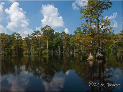
Brock's Mill Pond

To Every Purpose
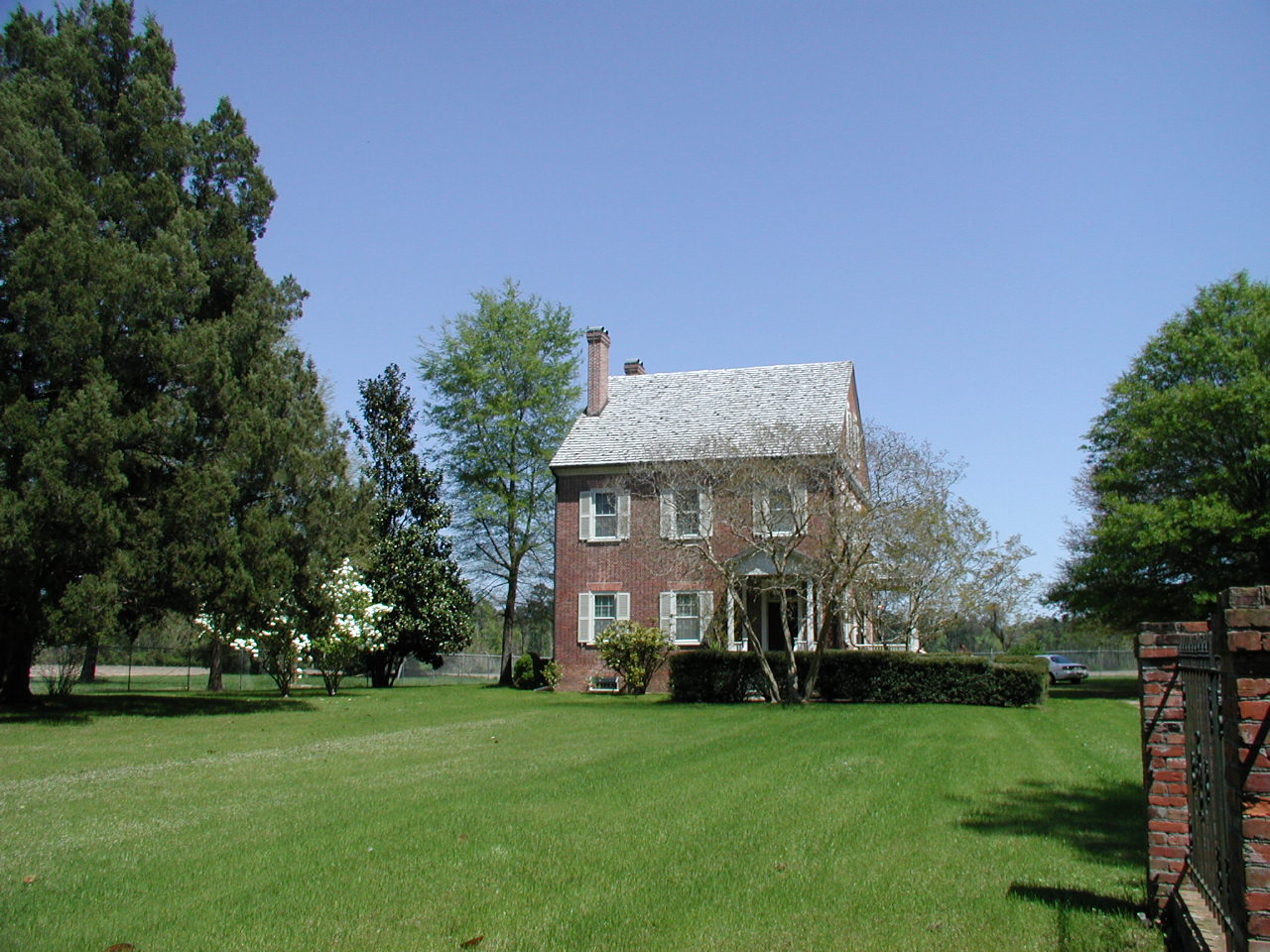
Exterior front view of the Foscue Plantation House

Front View, Jones County Courthouse
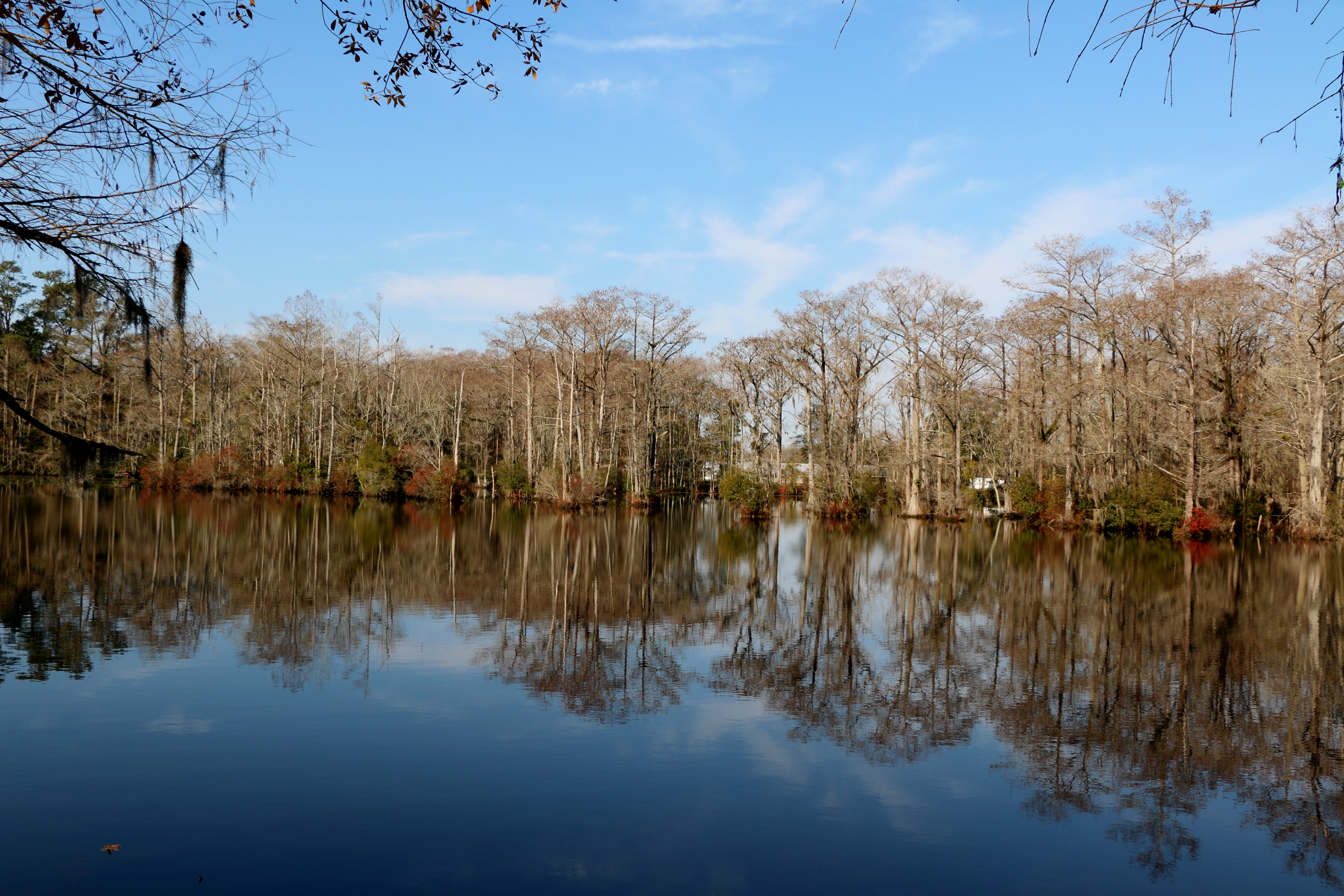
Brocks Mill Pond

Creek flowing into Trent River
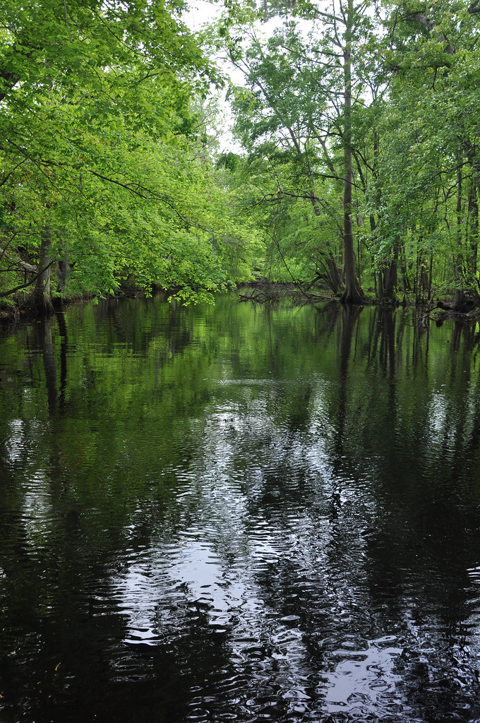
Creek flowing into Trent River
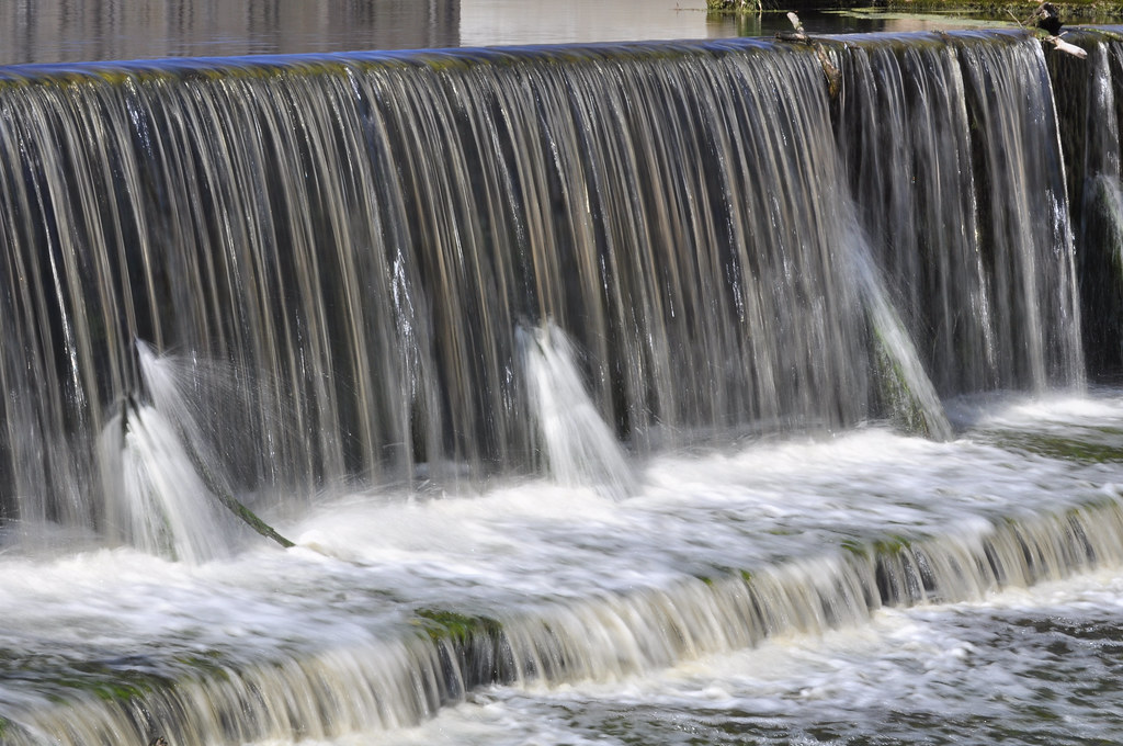
Brock's Mill Pond
Topographic Map of Spann Road, State Rd, 3, Trenton, NC, USA
Find elevation by address:

Places near Spann Road, State Rd, 3, Trenton, NC, USA:
524 State Rd 1327
1895 North Carolina Hwy 58
Jones County
145 Horton Ln
648 Piney Grove Rd
2852 North Carolina Hwy 58
1870 Oak Grove Rd
225 Piney Grove Rd
1940 County Rd 1121
1984 County Rd 1121
1984 County Rd 1121
151 Brimmage Rd
1439 Davis Field Rd
301 Magg Smith Rd
470 Riggs Ln
192 Riggs Dr
138 Hughes Plantation Rd
184 Hughes Plantation Rd
406 Foy St
300 Trent St
Recent Searches:
- Elevation of Pasing, Munich, Bavaria, 81241, Germany
- Elevation of 24, Auburn Bay Crescent SE, Auburn Bay, Calgary, Alberta, T3M 0A6, Canada
- Elevation of Denver, 2314, Arapahoe Street, Five Points, Denver, Colorado, 80205, USA
- Elevation of Community of the Beatitudes, 2924, West 43rd Avenue, Sunnyside, Denver, Colorado, 80211, USA
- Elevation map of Litang County, Sichuan, China
- Elevation map of Madoi County, Qinghai, China
- Elevation of 3314, Ohio State Route 114, Payne, Paulding County, Ohio, 45880, USA
- Elevation of Sarahills Drive, Saratoga, Santa Clara County, California, 95070, USA
- Elevation of Town of Bombay, Franklin County, New York, USA
- Elevation of 9, Convent Lane, Center Moriches, Suffolk County, New York, 11934, USA
- Elevation of Saint Angelas Convent, 9, Convent Lane, Center Moriches, Suffolk County, New York, 11934, USA
- Elevation of 131st Street Southwest, Mukilteo, Snohomish County, Washington, 98275, USA
- Elevation of 304, Harrison Road, Naples, Cumberland County, Maine, 04055, USA
- Elevation of 2362, Timber Ridge Road, Harrisburg, Cabarrus County, North Carolina, 28075, USA
- Elevation of Ridge Road, Marshalltown, Marshall County, Iowa, 50158, USA
- Elevation of 2459, Misty Shadows Drive, Pigeon Forge, Sevier County, Tennessee, 37862, USA
- Elevation of 8043, Brightwater Way, Spring Hill, Williamson County, Tennessee, 37179, USA
- Elevation of Starkweather Road, San Luis, Costilla County, Colorado, 81152, USA
- Elevation of 5277, Woodside Drive, Baton Rouge, East Baton Rouge Parish, Louisiana, 70808, USA
- Elevation of 1139, Curtin Street, Shepherd Park Plaza, Houston, Harris County, Texas, 77018, USA