Elevation of Horton Ln, Trenton, NC, USA
Location: United States > North Carolina > Jones County > 3, Trenton > Trenton >
Longitude: -77.3090411
Latitude: 35.0244931
Elevation: 13m / 43feet
Barometric Pressure: 0KPa
Related Photos:
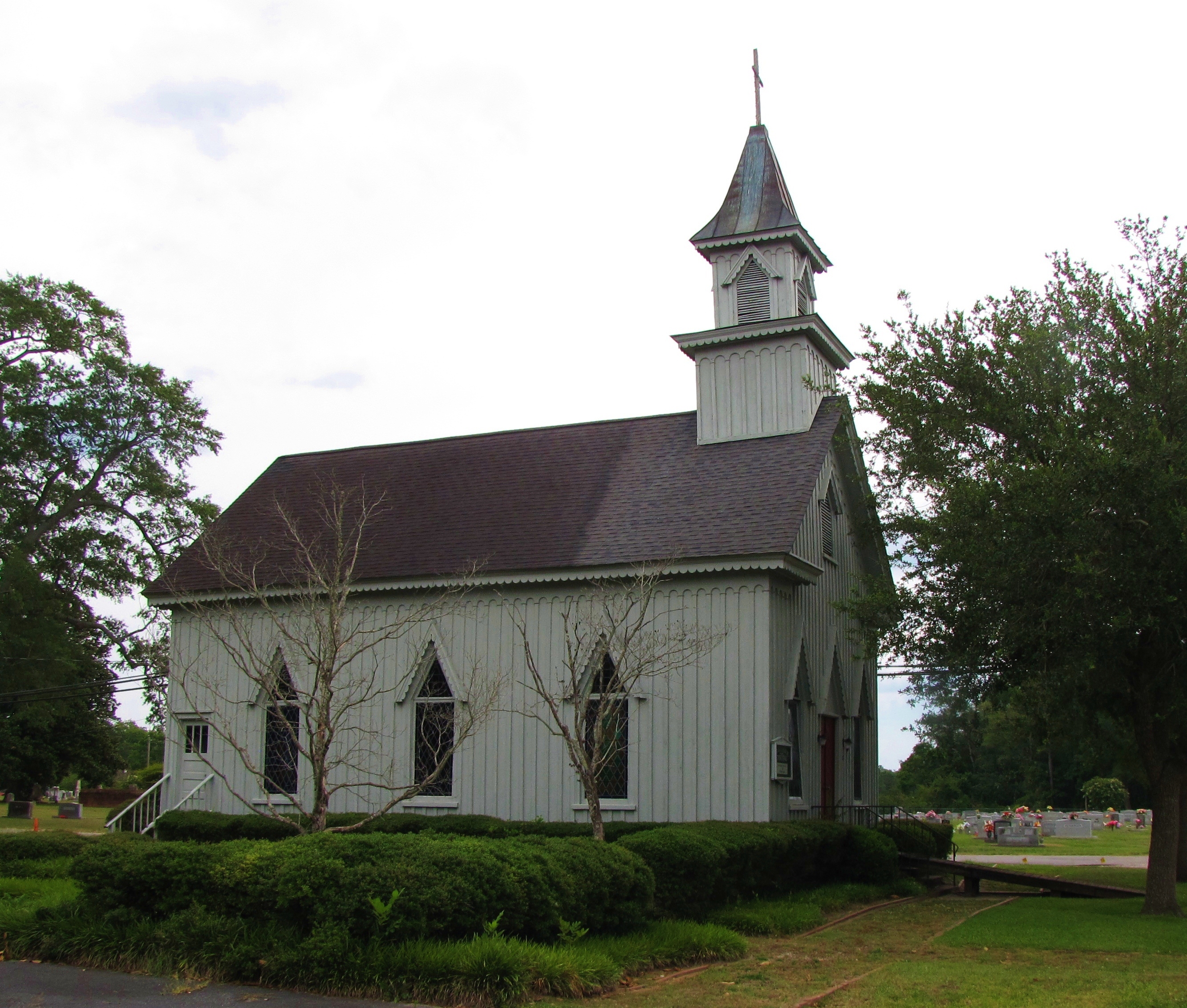
Grace Episcopal Church

To Every Purpose

Exterior front view of the Foscue Plantation House
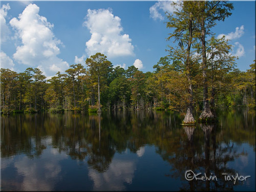
Brock's Mill Pond

Front View, Jones County Courthouse

New Crop

Brocks Mill Pond

island Creek Trail

Brock's Mill Pond

Creek flowing into Trent River

Creek flowing into Trent River
Topographic Map of Horton Ln, Trenton, NC, USA
Find elevation by address:

Places near Horton Ln, Trenton, NC, USA:
648 Piney Grove Rd
1895 North Carolina Hwy 58
2852 North Carolina Hwy 58
524 State Rd 1327
Spann Road
Jones County
225 Piney Grove Rd
1870 Oak Grove Rd
1439 Davis Field Rd
1940 County Rd 1121
1984 County Rd 1121
1984 County Rd 1121
301 Magg Smith Rd
470 Riggs Ln
151 Brimmage Rd
192 Riggs Dr
138 Hughes Plantation Rd
184 Hughes Plantation Rd
300 Trent St
406 Foy St
Recent Searches:
- Elevation map of Litang County, Sichuan, China
- Elevation map of Madoi County, Qinghai, China
- Elevation of 3314, Ohio State Route 114, Payne, Paulding County, Ohio, 45880, USA
- Elevation of Sarahills Drive, Saratoga, Santa Clara County, California, 95070, USA
- Elevation of Town of Bombay, Franklin County, New York, USA
- Elevation of 9, Convent Lane, Center Moriches, Suffolk County, New York, 11934, USA
- Elevation of Saint Angelas Convent, 9, Convent Lane, Center Moriches, Suffolk County, New York, 11934, USA
- Elevation of 131st Street Southwest, Mukilteo, Snohomish County, Washington, 98275, USA
- Elevation of 304, Harrison Road, Naples, Cumberland County, Maine, 04055, USA
- Elevation of 2362, Timber Ridge Road, Harrisburg, Cabarrus County, North Carolina, 28075, USA
- Elevation of Ridge Road, Marshalltown, Marshall County, Iowa, 50158, USA
- Elevation of 2459, Misty Shadows Drive, Pigeon Forge, Sevier County, Tennessee, 37862, USA
- Elevation of 8043, Brightwater Way, Spring Hill, Williamson County, Tennessee, 37179, USA
- Elevation of Starkweather Road, San Luis, Costilla County, Colorado, 81152, USA
- Elevation of 5277, Woodside Drive, Baton Rouge, East Baton Rouge Parish, Louisiana, 70808, USA
- Elevation of 1139, Curtin Street, Shepherd Park Plaza, Houston, Harris County, Texas, 77018, USA
- Elevation of 136, Sellers Lane, Repton, Monroe County, Alabama, 36475, USA
- Elevation of 12914, Elmington Drive, Lakewood Forest, Houston, Harris County, Texas, 77429, USA
- Elevation of 417, Camelot Drive, Statesville, Iredell County, North Carolina, 28625, USA
- Elevation of 5792, Wildridge Road, Avon, Eagle County, Colorado, 81620, USA