Elevation map of Southern Province, Rwanda
Location: Rwanda >
Longitude: 29.6035495
Latitude: -2.5546618
Elevation: 2106m / 6909feet
Barometric Pressure: 78KPa
Elevation Map:
Satellite Map:
Related Photos:
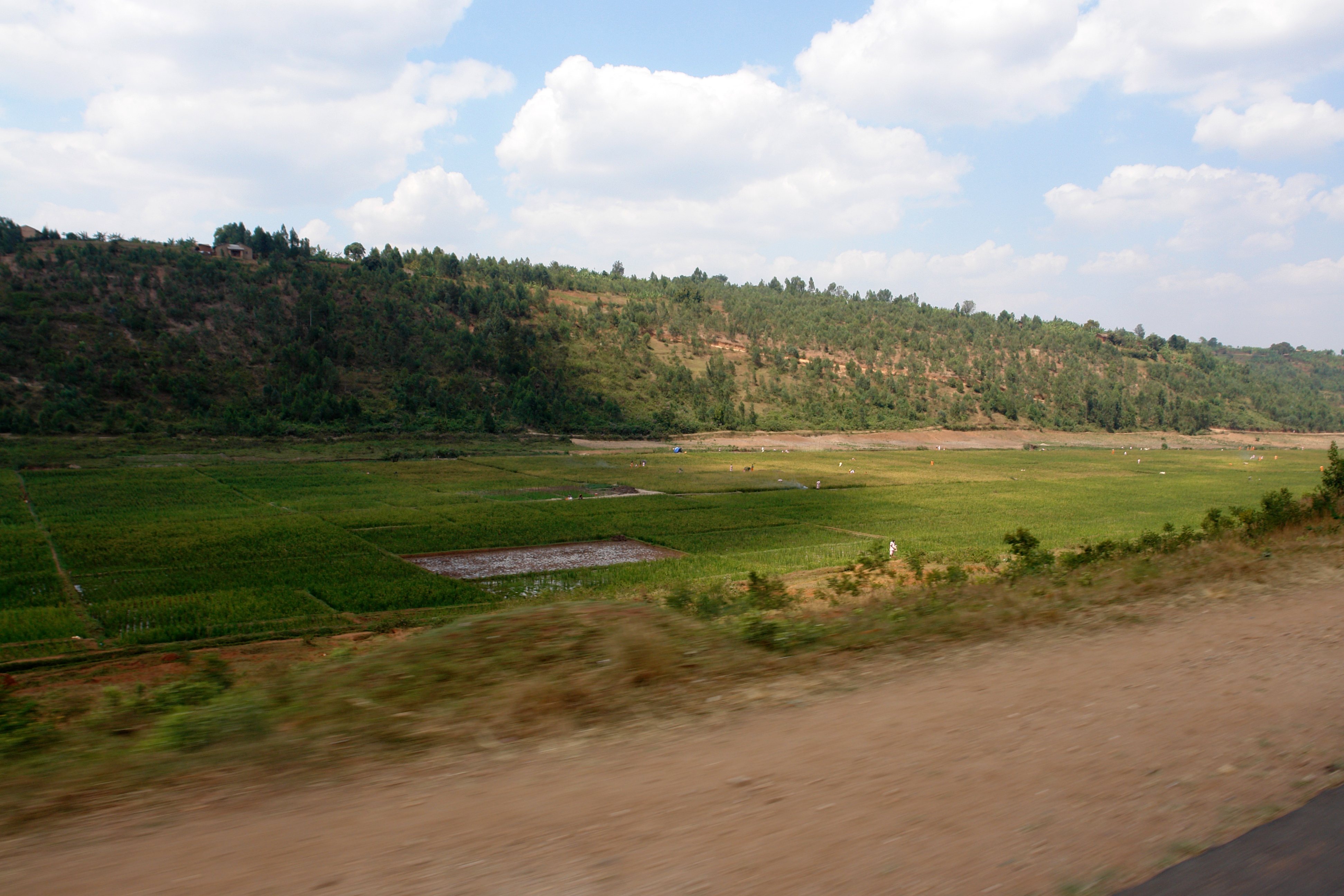
Rice & Prisoners

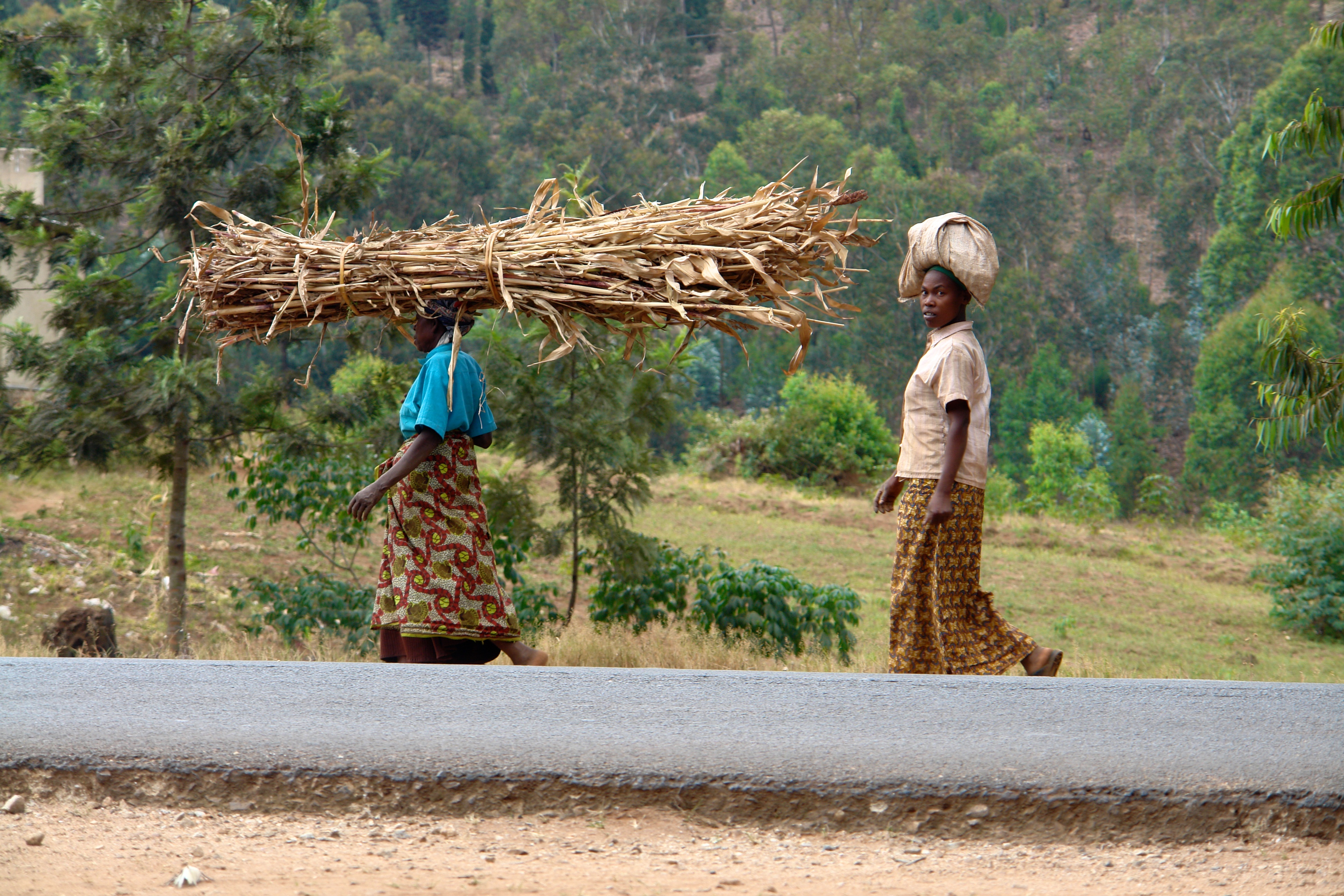
.rwanda.

Mountain water source for Bufcoffee
Balance!

At the Beer Factory

Rwanda's only ice cream shop.
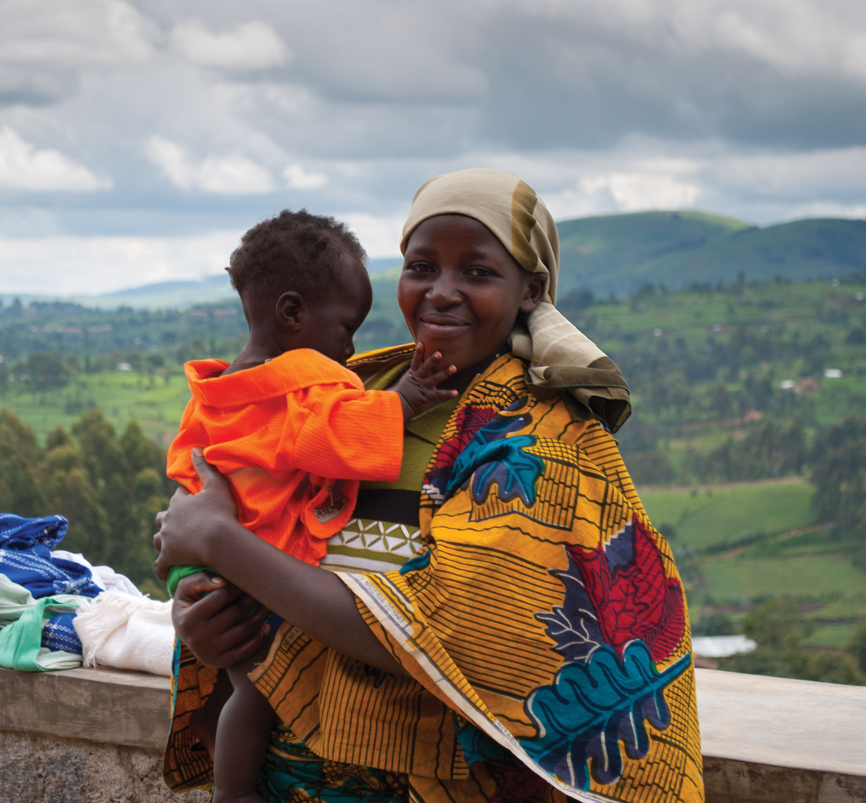
Mother and Child Outside of Butaro Hospital in Rwanda

Emily Dziedzic - Butare, Rwanda

Emily Dziedzic - Rwanda

nyarusiza - sorting parchment 2

nyarusiza - sorting parchment 1

Nyarusiza - shoveling cherry
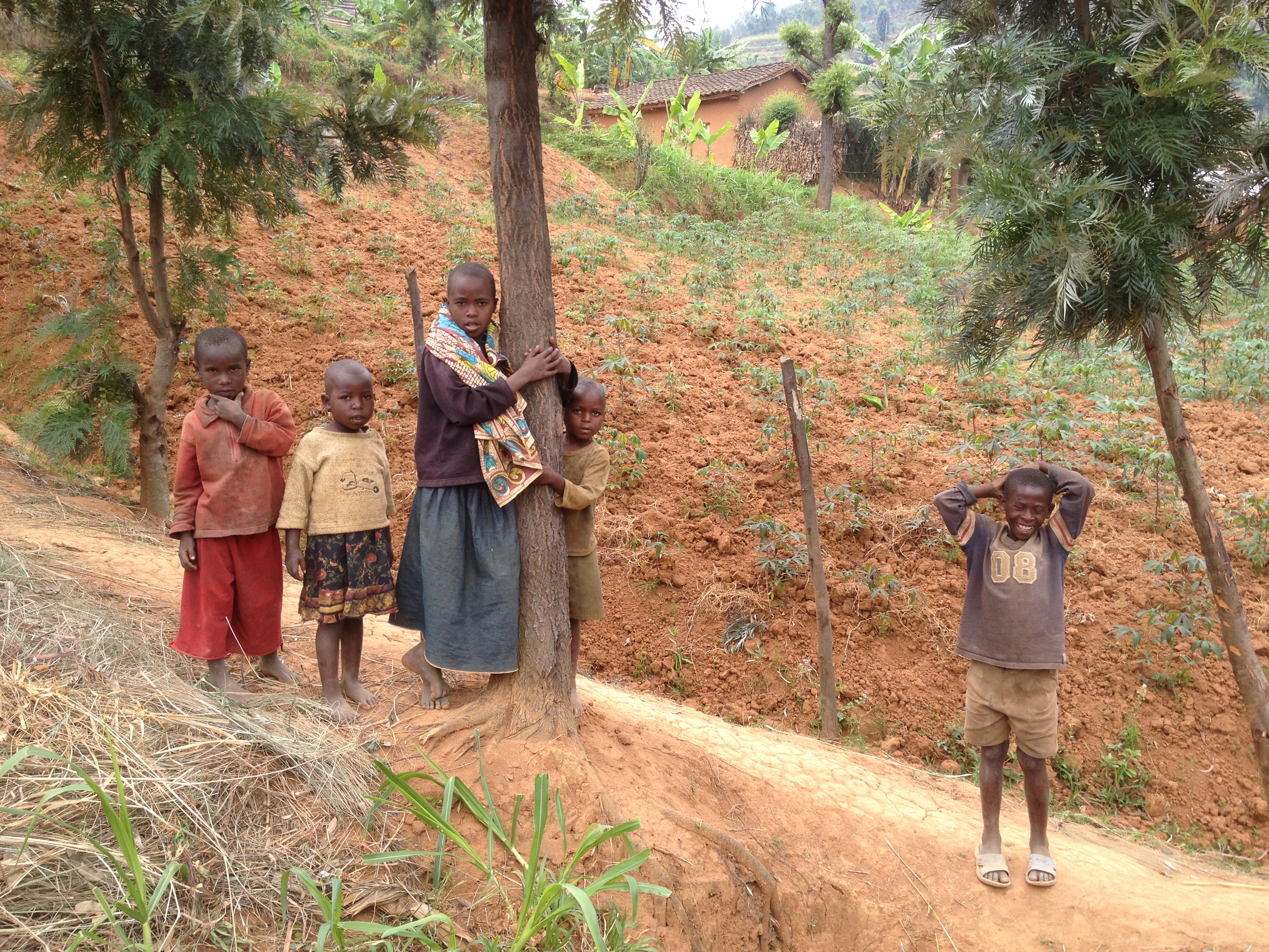
kids on a farm
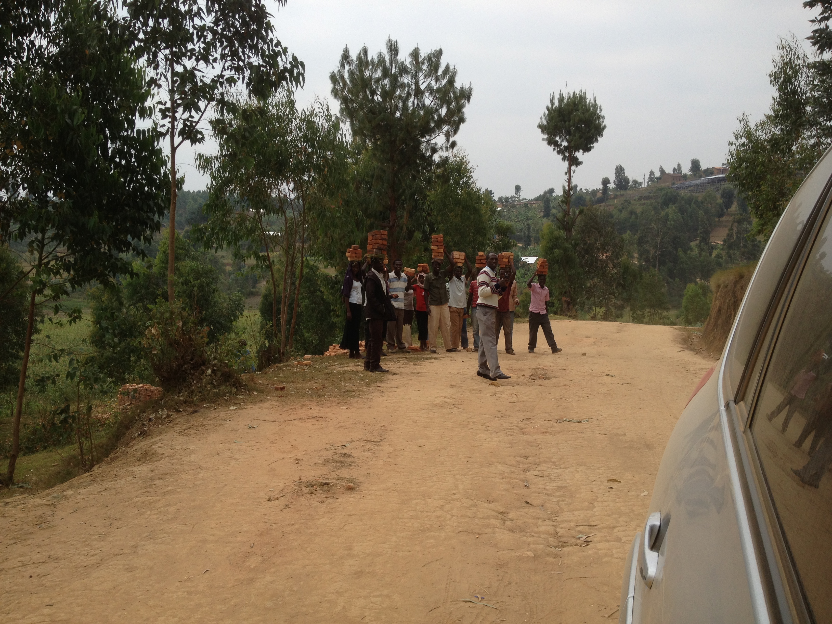
carrying bricks

Butare, Rwanda

Butare, Rwanda

Butare, Rwanda

Butare, Rwanda

Butare, Rwanda

Butare, Rwanda
Topographic Map of Southern Province, Rwanda
Find elevation by address:

Places in Southern Province, Rwanda:
Nyanza
Gisagara
Huye
Muhanga
Nyaruguru
Nyamagabe
Unnamed Road
Unnamed Road
Rn19
Unnamed Road
Rn1
Rn1
Places near Southern Province, Rwanda:
3b
Unnamed Road
Kirehe
Huye
Rn1
Rn1
Unnamed Road
Rn1
Unnamed Road
Unnamed Road
Gisagara
Rn19
Unnamed Road
Unnamed Road
Nyanza
Unnamed Road
Unnamed Road
3a
Unnamed Road
Akanyaru
Recent Searches:
- Elevation of Corso Fratelli Cairoli, 35, Macerata MC, Italy
- Elevation of Tallevast Rd, Sarasota, FL, USA
- Elevation of 4th St E, Sonoma, CA, USA
- Elevation of Black Hollow Rd, Pennsdale, PA, USA
- Elevation of Oakland Ave, Williamsport, PA, USA
- Elevation of Pedrógão Grande, Portugal
- Elevation of Klee Dr, Martinsburg, WV, USA
- Elevation of Via Roma, Pieranica CR, Italy
- Elevation of Tavkvetili Mountain, Georgia
- Elevation of Hartfords Bluff Cir, Mt Pleasant, SC, USA