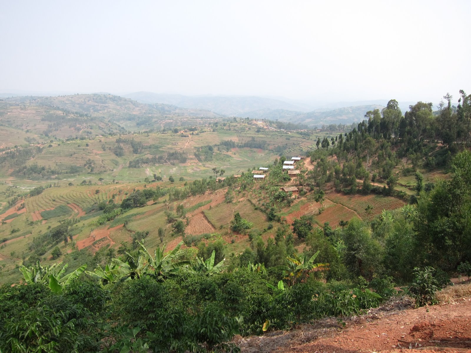
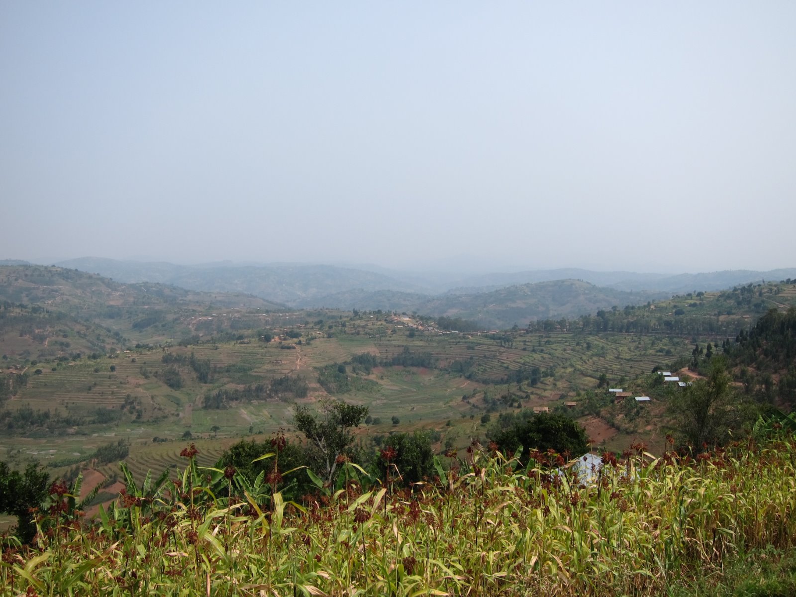
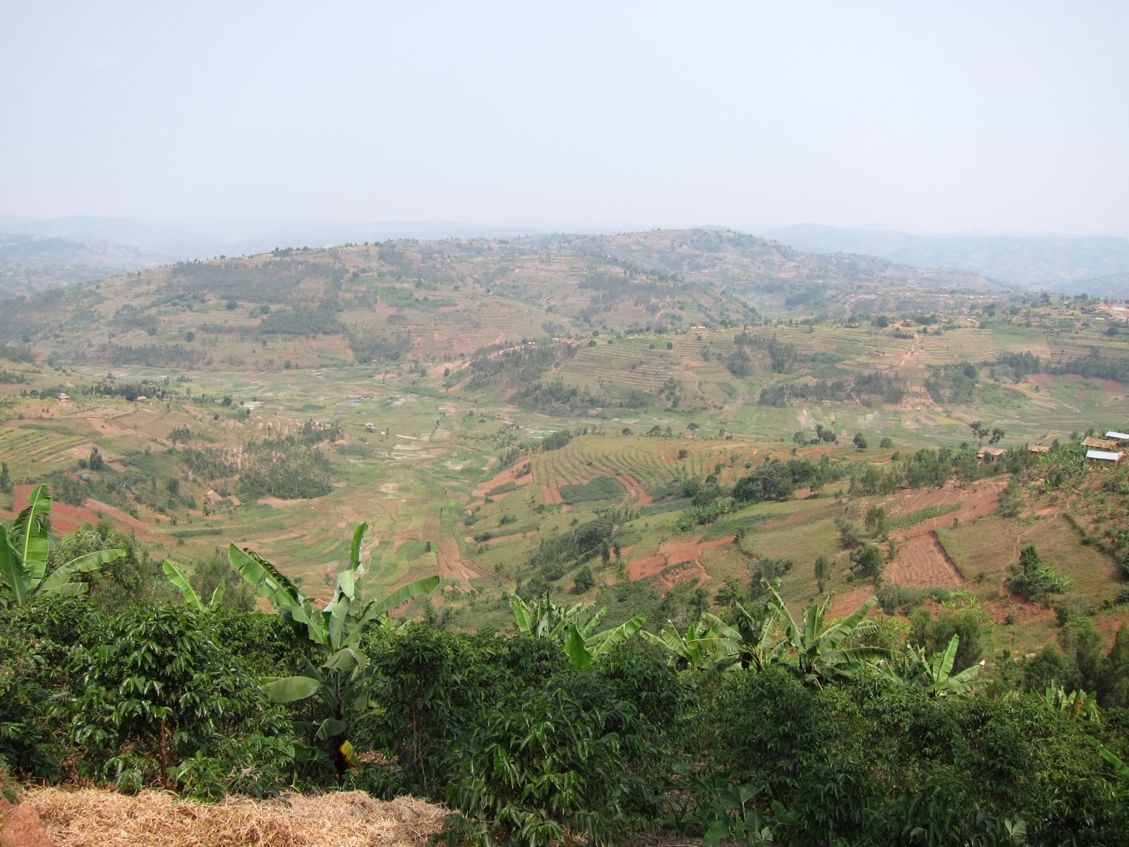
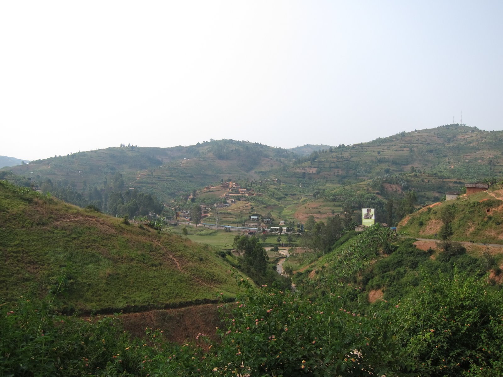
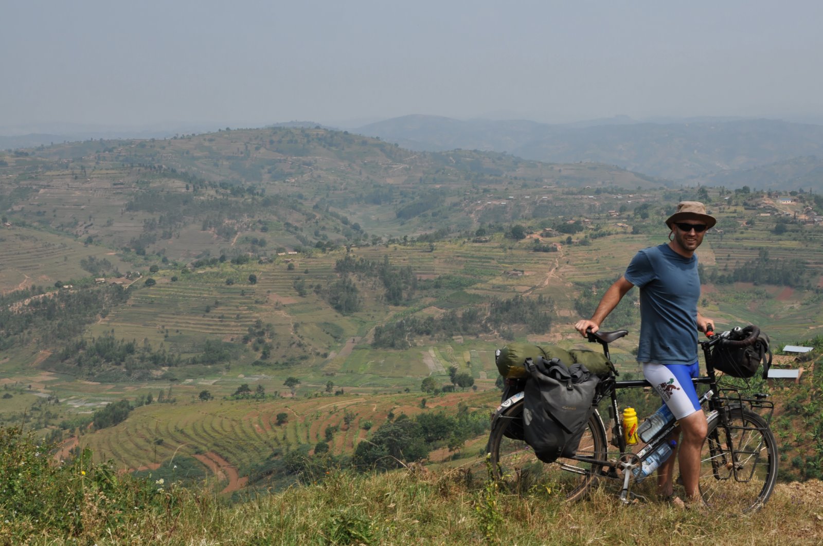
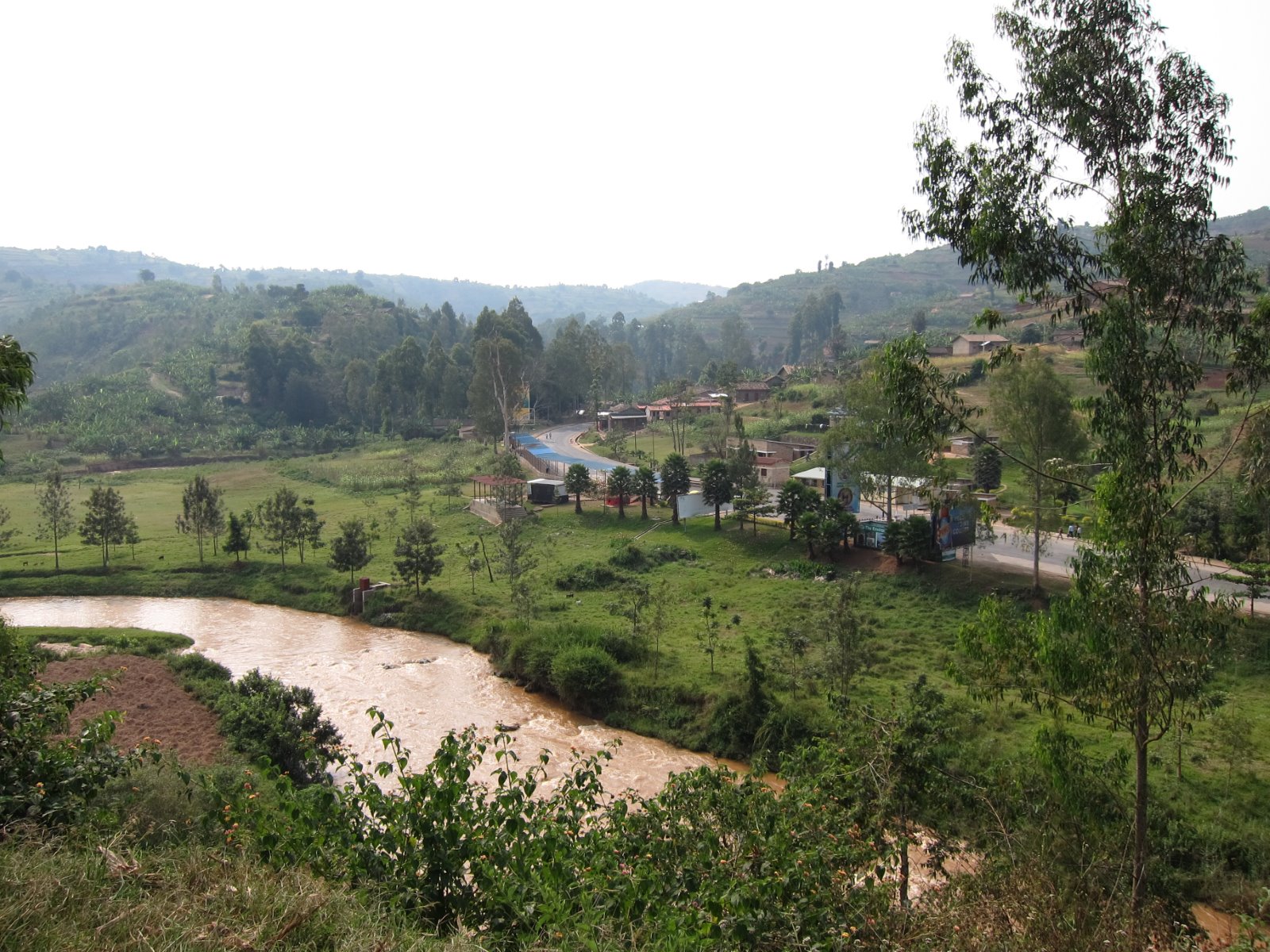
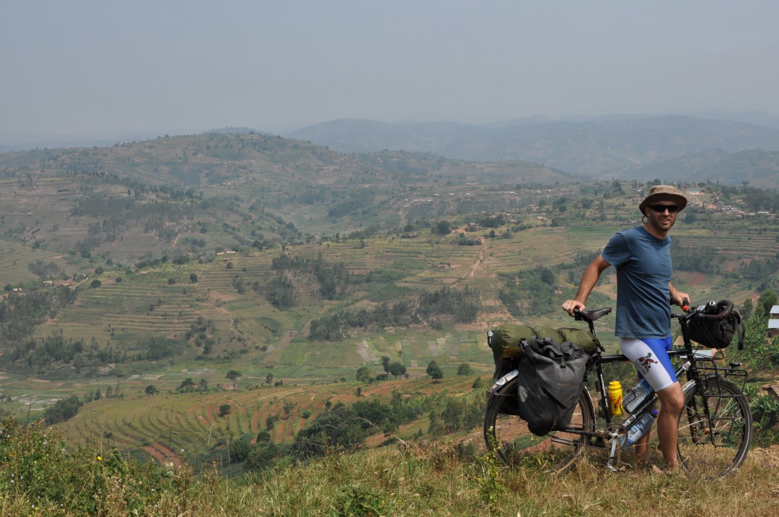
Elevation of RN19, Rwanda
Location: Rwanda > Southern Province >
Longitude: 29.7463288
Latitude: -2.7992637
Elevation: 1617m / 5305feet
Barometric Pressure: 83KPa
Elevation Map:
Satellite Map:
Related Photos:
20130617_124847
20130617_124556
20130617_124844
20130617_145234
20130617_144039
20130617_134956
20130617_143341
20130617_134952

2013.08.15 DSC02254

2013.08.15 DSC02255

2013.08.15 DSC02254

2013.08.15 DSC02243

2013.08.15 DSC02242

2013.08.15 DSC02220

2013.08.15 DSC02215

2013.08.16 IMG_8794

2013.08.16 IMG_8793

2013.08.16 IMG_8792

2013.08.15 DSC02202
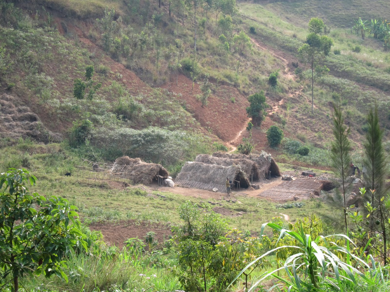
Washing Station
Topographic Map of RN19, Rwanda
Find elevation by address:

Places near RN19, Rwanda:
Unnamed Road
Rn1
Rn1
Unnamed Road
Rn1
Unnamed Road
Gisagara
Huye
Unnamed Road
Southern Province
Unnamed Road
3b
Kirehe
Unnamed Road
Unnamed Road
Muyinga
Nyanza
Unnamed Road
Unnamed Road
Akanyaru
Recent Searches:
- Elevation of Corso Fratelli Cairoli, 35, Macerata MC, Italy
- Elevation of Tallevast Rd, Sarasota, FL, USA
- Elevation of 4th St E, Sonoma, CA, USA
- Elevation of Black Hollow Rd, Pennsdale, PA, USA
- Elevation of Oakland Ave, Williamsport, PA, USA
- Elevation of Pedrógão Grande, Portugal
- Elevation of Klee Dr, Martinsburg, WV, USA
- Elevation of Via Roma, Pieranica CR, Italy
- Elevation of Tavkvetili Mountain, Georgia
- Elevation of Hartfords Bluff Cir, Mt Pleasant, SC, USA