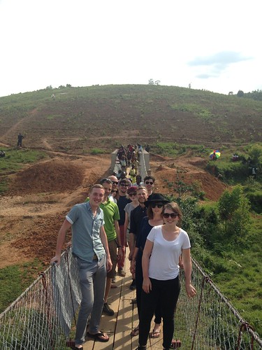
Elevation of Nyaruguru, Rwanda
Location: Rwanda > Southern Province >
Longitude: 29.464359
Latitude: -2.6627643
Elevation: 2012m / 6601feet
Barometric Pressure: 79KPa
Related Photos:
Topographic Map of Nyaruguru, Rwanda
Find elevation by address:

Places near Nyaruguru, Rwanda:
Kitabi Eco-center
Kigeme Refugee Camp
Nyamagabe
Muko
Rusizi
Mushubi Health Centre
Cibitoke
Mushubi Catholic Church
Karambo
Kaduha
Kaduha Hospital
Rugombo
Karongi
Giheke High School
Gisuma
Western Province
Kibuye
Bukavu
Rutsiro
Boneza Sector Office
Recent Searches:
- Elevation of Corso Fratelli Cairoli, 35, Macerata MC, Italy
- Elevation of Tallevast Rd, Sarasota, FL, USA
- Elevation of 4th St E, Sonoma, CA, USA
- Elevation of Black Hollow Rd, Pennsdale, PA, USA
- Elevation of Oakland Ave, Williamsport, PA, USA
- Elevation of Pedrógão Grande, Portugal
- Elevation of Klee Dr, Martinsburg, WV, USA
- Elevation of Via Roma, Pieranica CR, Italy
- Elevation of Tavkvetili Mountain, Georgia
- Elevation of Hartfords Bluff Cir, Mt Pleasant, SC, USA
