Elevation of South Webster, OH, USA
Location: United States > Ohio > Scioto County > Bloom Township >
Longitude: -82.7268333
Latitude: 38.8134097
Elevation: 215m / 705feet
Barometric Pressure: 0KPa
Related Photos:

Icy Rails..

Heading into Kentucky - CSX Style

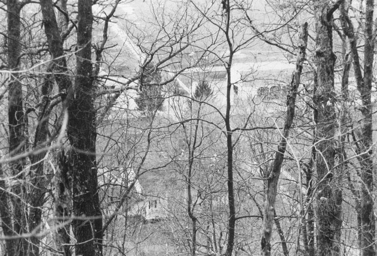
Jaxon's view of the river

November Sky

Sunset ll

Sunset on Marvins Pond 2010

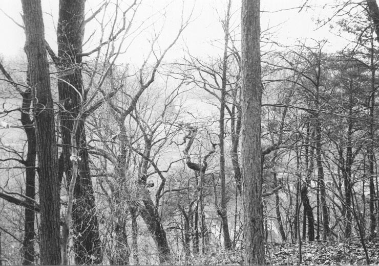
Southern Ohio Countryside
Minford, Ohio
Minford, Ohio

Bamboo in Ohio
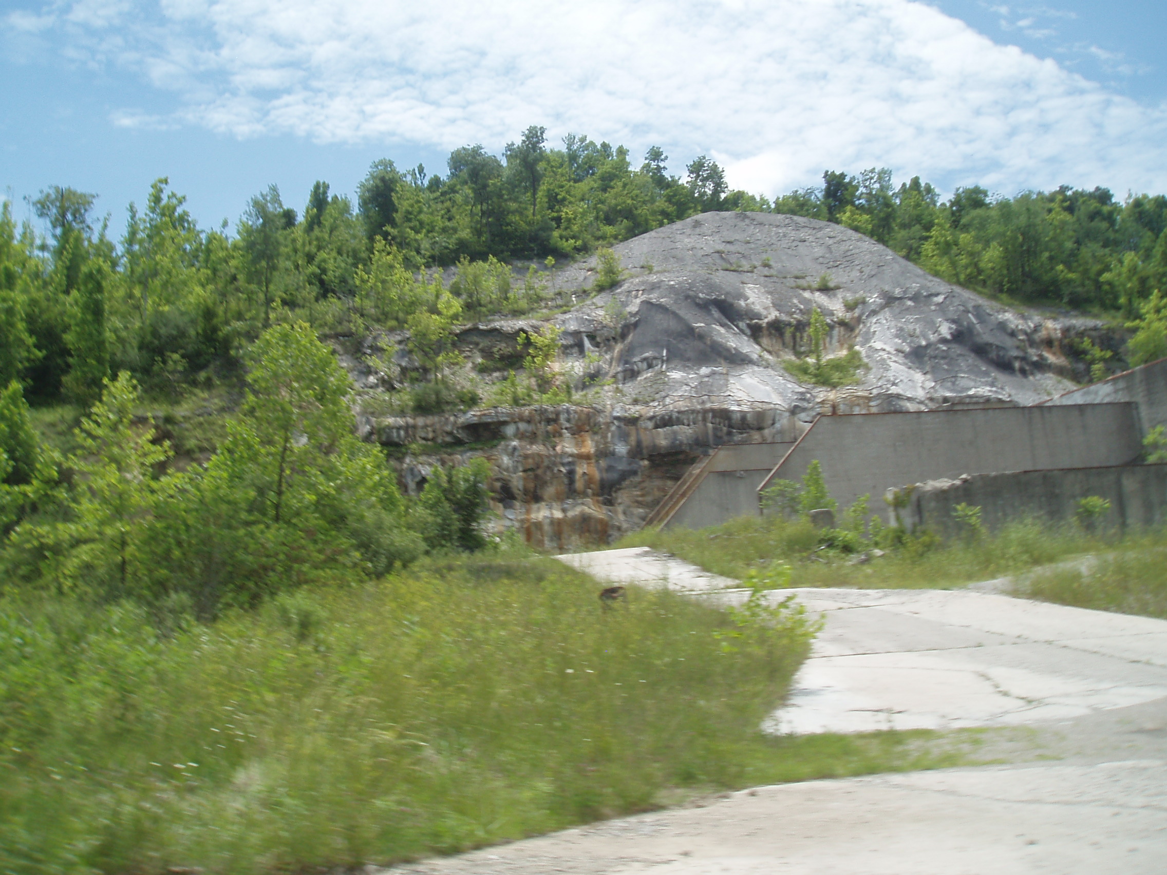
Pedro-Superior Cement Company (COAF)

Softball-Wheelersburg, OH: PhotoID-389253
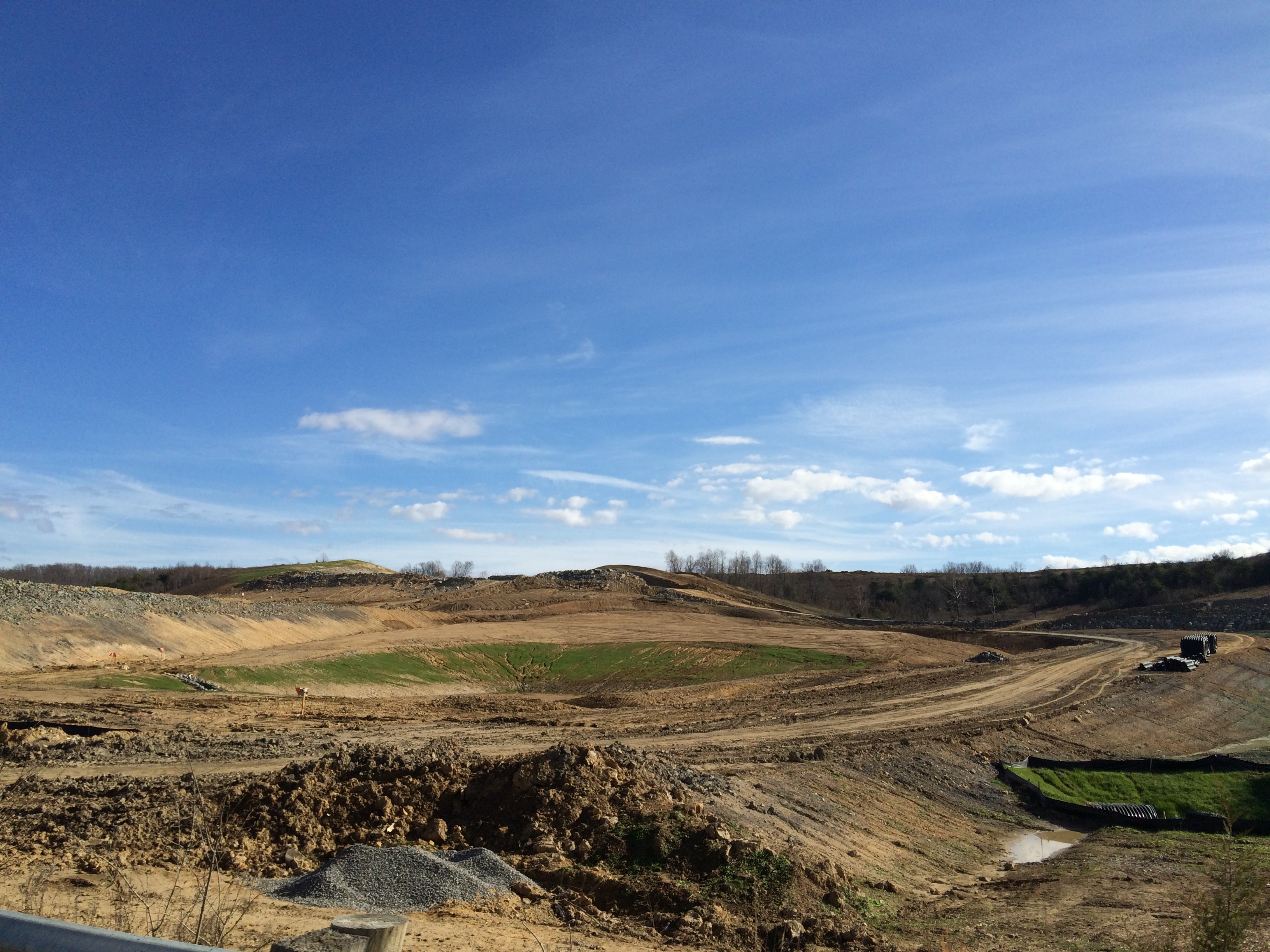
2015-11-26 Veterans Memorial Highway OH-823 construction Lucasville OH IMG_8518

2015-11-26 Veterans Memorial Highway OH-823 construction Lucasville OH IMG_8517
Topographic Map of South Webster, OH, USA
Find elevation by address:

Places in South Webster, OH, USA:
Places near South Webster, OH, USA:
OH-, South Webster, OH, USA
11902 Oh-140
Bloom Township
Scioto Furnace
Lick Run-Lyra Rd, Wheelersburg, OH, USA
6101 Oh-140
Vernon Township
6001 Oh-140
586 Allegheny Hill Rd
961 Meadow Ct
Harrison Township
Porter Township
2-18
60 Sun Valley Ct
OH-93, Pedro, OH, USA
Pershing Avenue
Wheelersburg
6501 Pershing Ave
Harding Avenue
Hayport Road
Recent Searches:
- Elevation of 24, Auburn Bay Crescent SE, Auburn Bay, Calgary, Alberta, T3M 0A6, Canada
- Elevation of Denver, 2314, Arapahoe Street, Five Points, Denver, Colorado, 80205, USA
- Elevation of Community of the Beatitudes, 2924, West 43rd Avenue, Sunnyside, Denver, Colorado, 80211, USA
- Elevation map of Litang County, Sichuan, China
- Elevation map of Madoi County, Qinghai, China
- Elevation of 3314, Ohio State Route 114, Payne, Paulding County, Ohio, 45880, USA
- Elevation of Sarahills Drive, Saratoga, Santa Clara County, California, 95070, USA
- Elevation of Town of Bombay, Franklin County, New York, USA
- Elevation of 9, Convent Lane, Center Moriches, Suffolk County, New York, 11934, USA
- Elevation of Saint Angelas Convent, 9, Convent Lane, Center Moriches, Suffolk County, New York, 11934, USA
- Elevation of 131st Street Southwest, Mukilteo, Snohomish County, Washington, 98275, USA
- Elevation of 304, Harrison Road, Naples, Cumberland County, Maine, 04055, USA
- Elevation of 2362, Timber Ridge Road, Harrisburg, Cabarrus County, North Carolina, 28075, USA
- Elevation of Ridge Road, Marshalltown, Marshall County, Iowa, 50158, USA
- Elevation of 2459, Misty Shadows Drive, Pigeon Forge, Sevier County, Tennessee, 37862, USA
- Elevation of 8043, Brightwater Way, Spring Hill, Williamson County, Tennessee, 37179, USA
- Elevation of Starkweather Road, San Luis, Costilla County, Colorado, 81152, USA
- Elevation of 5277, Woodside Drive, Baton Rouge, East Baton Rouge Parish, Louisiana, 70808, USA
- Elevation of 1139, Curtin Street, Shepherd Park Plaza, Houston, Harris County, Texas, 77018, USA
- Elevation of 136, Sellers Lane, Repton, Monroe County, Alabama, 36475, USA