Elevation of Lick Run-Lyra Rd, Wheelersburg, OH, USA
Location: United States > Ohio > Scioto County > Vernon Township >
Longitude: -82.7333
Latitude: 38.7464
Elevation: 191m / 627feet
Barometric Pressure: 99KPa
Elevation Map:
Satellite Map:
Related Photos:

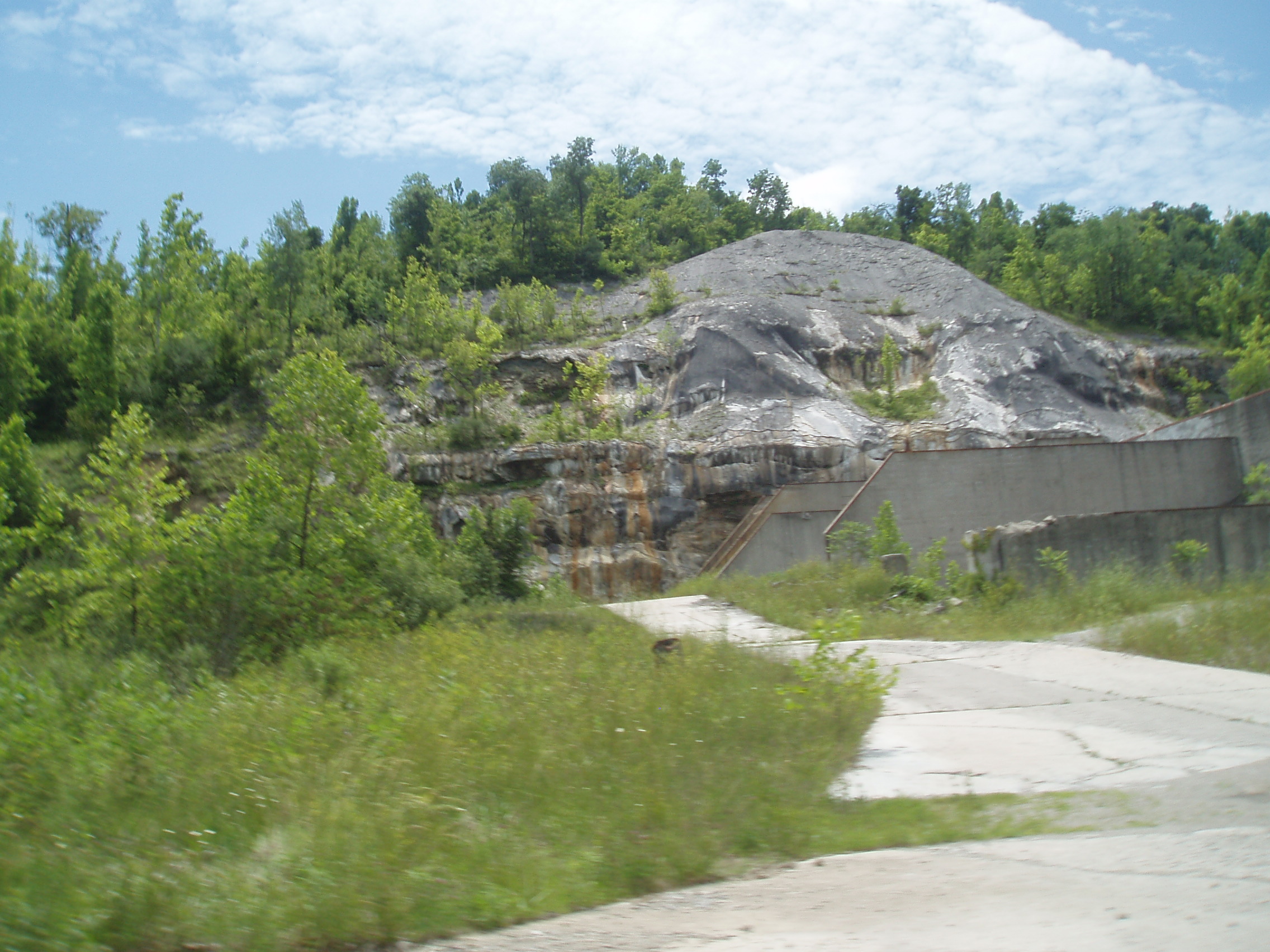
Industrial Decay
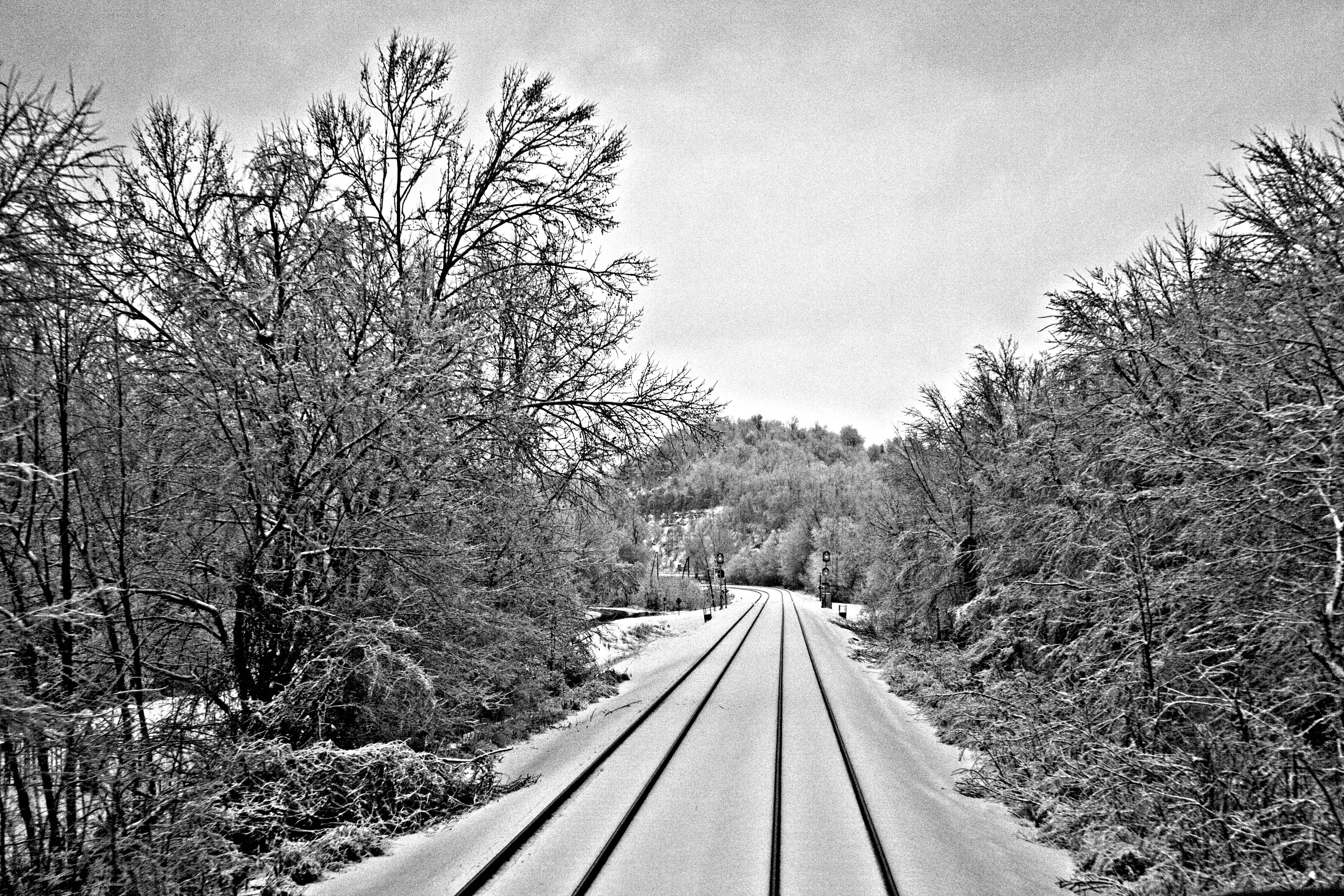
Icy Rails..

Heading into Kentucky - CSX Style

BoboSas. :D

Jaxon's view of the river

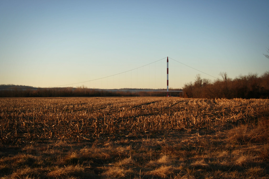
November Sky

Greenup Dam; Franklin Furnace, Ohio.
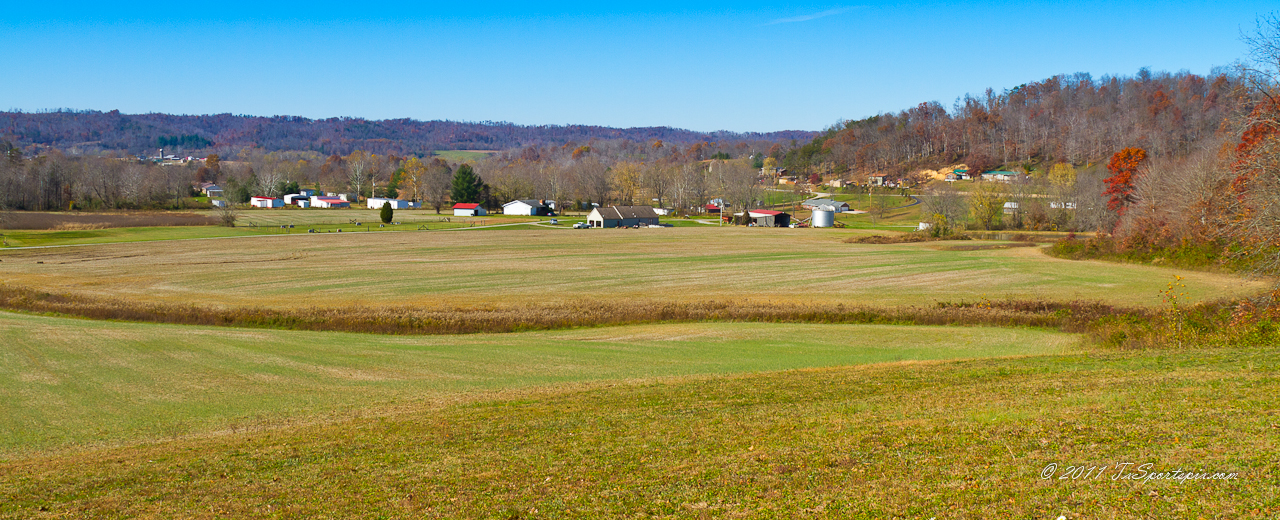
Southern Ohio Countryside
Franklin Furnace, Ohio

Wheelersburg, Ohio
Pedro-Superior Cement Company (COAF)
Softball-Wheelersburg, OH: PhotoID-389253
Topographic Map of Lick Run-Lyra Rd, Wheelersburg, OH, USA
Find elevation by address:

Places near Lick Run-Lyra Rd, Wheelersburg, OH, USA:
Vernon Township
6101 Oh-140
Scioto Furnace
11902 Oh-140
6001 Oh-140
OH-, South Webster, OH, USA
South Webster
Bloom Township
961 Meadow Ct
586 Allegheny Hill Rd
OH-93, Pedro, OH, USA
2-18
Porter Township
60 Sun Valley Ct
Wheelersburg
Harrison Township
Hayport Road
Hayport Road
Pershing Avenue
6501 Pershing Ave
Recent Searches:
- Elevation of Corso Fratelli Cairoli, 35, Macerata MC, Italy
- Elevation of Tallevast Rd, Sarasota, FL, USA
- Elevation of 4th St E, Sonoma, CA, USA
- Elevation of Black Hollow Rd, Pennsdale, PA, USA
- Elevation of Oakland Ave, Williamsport, PA, USA
- Elevation of Pedrógão Grande, Portugal
- Elevation of Klee Dr, Martinsburg, WV, USA
- Elevation of Via Roma, Pieranica CR, Italy
- Elevation of Tavkvetili Mountain, Georgia
- Elevation of Hartfords Bluff Cir, Mt Pleasant, SC, USA