Elevation of South Carrying Road Lake, Clare, NS B0W, Canada
Location: Canada > Nova Scotia > Yarmouth County > Argyle > Argyle >
Longitude: -65.7940555
Latitude: 44.1692567
Elevation: 76m / 249feet
Barometric Pressure: 0KPa
Related Photos:

IMG_2537
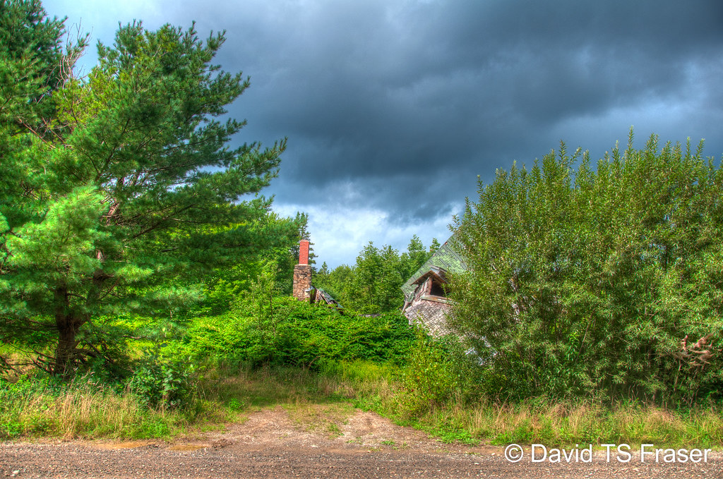
Crumpled house in Yarmouth County through the trees

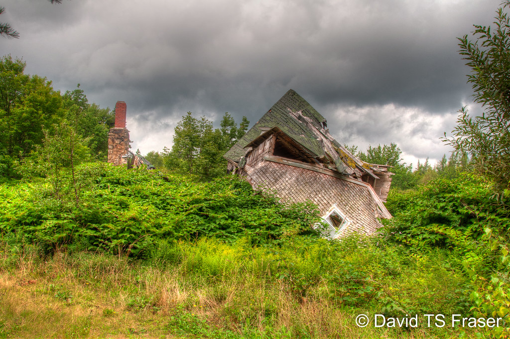
Crumpled house in Yarmouth County
Crumpled house in Yarmouth County through the trees
Topographic Map of South Carrying Road Lake, Clare, NS B0W, Canada
Find elevation by address:

Places near South Carrying Road Lake, Clare, NS B0W, Canada:
N Kempt Rd, Kemptville, NS B0W 1Y0, Canada
Kemptville
Langford Lake
Rabbit Road
New Tusket
Little Tusket Lake
Langford Road
Clare
Provost Lake
44 Provost Lake Rd
33 Provost Lake Rd
33 Provost Lake Rd
33 Provost Lake Rd
B0w 3t0
655 Riverdale Rd
Langford Rd, Weymouth, NS B0W 3T0, Canada
Carleton
Digby
807 Langford Rd
B0w 2z0
Recent Searches:
- Elevation map of Litang County, Sichuan, China
- Elevation map of Madoi County, Qinghai, China
- Elevation of 3314, Ohio State Route 114, Payne, Paulding County, Ohio, 45880, USA
- Elevation of Sarahills Drive, Saratoga, Santa Clara County, California, 95070, USA
- Elevation of Town of Bombay, Franklin County, New York, USA
- Elevation of 9, Convent Lane, Center Moriches, Suffolk County, New York, 11934, USA
- Elevation of Saint Angelas Convent, 9, Convent Lane, Center Moriches, Suffolk County, New York, 11934, USA
- Elevation of 131st Street Southwest, Mukilteo, Snohomish County, Washington, 98275, USA
- Elevation of 304, Harrison Road, Naples, Cumberland County, Maine, 04055, USA
- Elevation of 2362, Timber Ridge Road, Harrisburg, Cabarrus County, North Carolina, 28075, USA
- Elevation of Ridge Road, Marshalltown, Marshall County, Iowa, 50158, USA
- Elevation of 2459, Misty Shadows Drive, Pigeon Forge, Sevier County, Tennessee, 37862, USA
- Elevation of 8043, Brightwater Way, Spring Hill, Williamson County, Tennessee, 37179, USA
- Elevation of Starkweather Road, San Luis, Costilla County, Colorado, 81152, USA
- Elevation of 5277, Woodside Drive, Baton Rouge, East Baton Rouge Parish, Louisiana, 70808, USA
- Elevation of 1139, Curtin Street, Shepherd Park Plaza, Houston, Harris County, Texas, 77018, USA
- Elevation of 136, Sellers Lane, Repton, Monroe County, Alabama, 36475, USA
- Elevation of 12914, Elmington Drive, Lakewood Forest, Houston, Harris County, Texas, 77429, USA
- Elevation of 417, Camelot Drive, Statesville, Iredell County, North Carolina, 28625, USA
- Elevation of 5792, Wildridge Road, Avon, Eagle County, Colorado, 81620, USA