Elevation map of Argyle, NS, Canada
Location: Canada > Nova Scotia > Yarmouth County >
Longitude: -65.730444
Latitude: 43.8174308
Elevation: 41m / 135feet
Barometric Pressure: 101KPa
Elevation Map:
Satellite Map:
Related Photos:
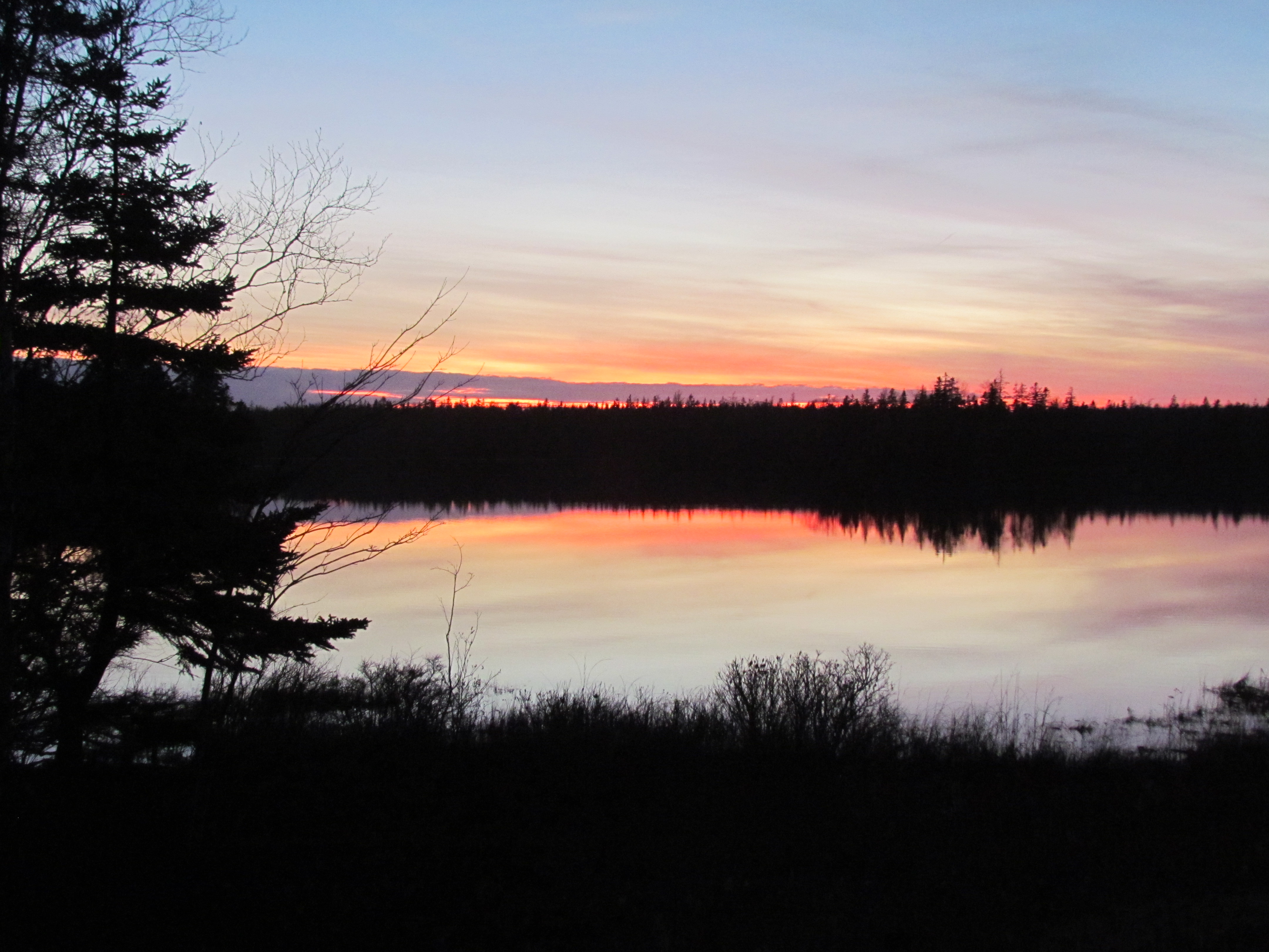
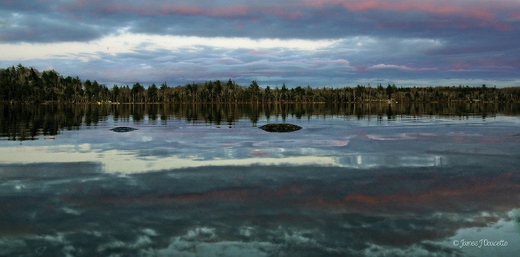
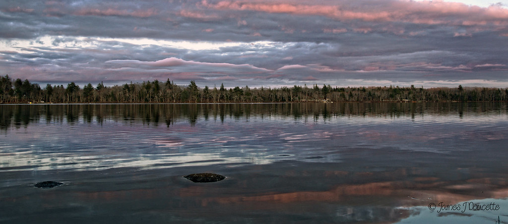
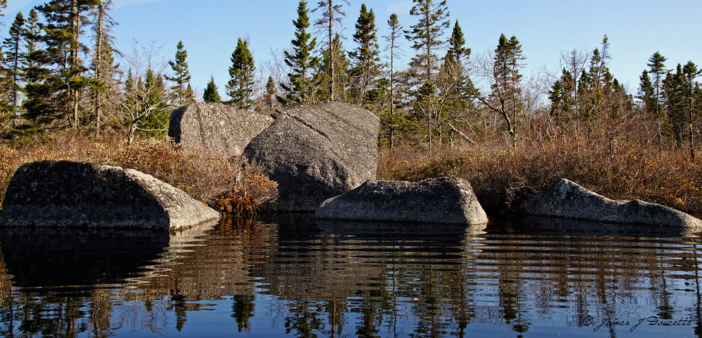
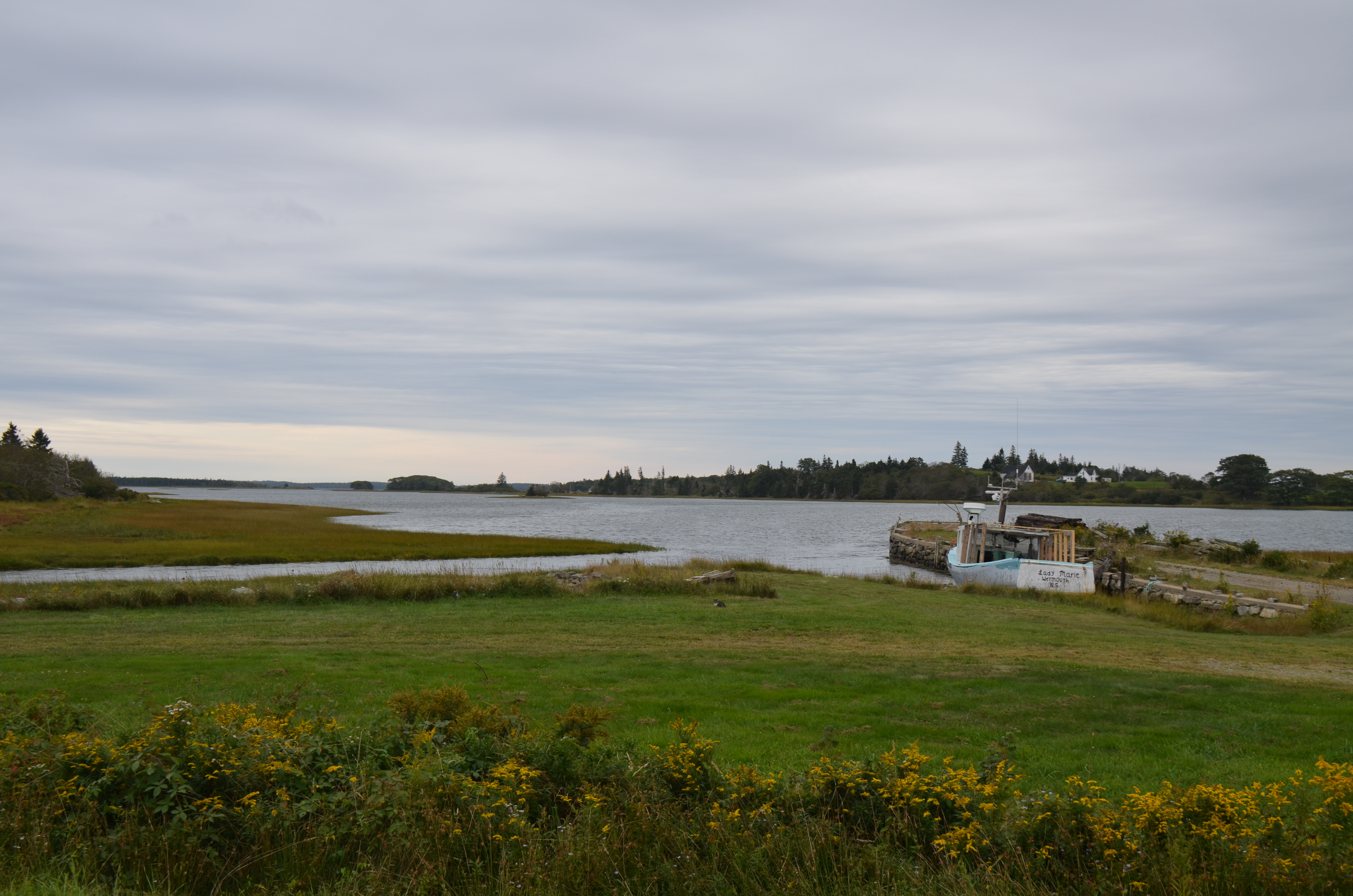
Sunset on Eel Lake, Nova Scotia
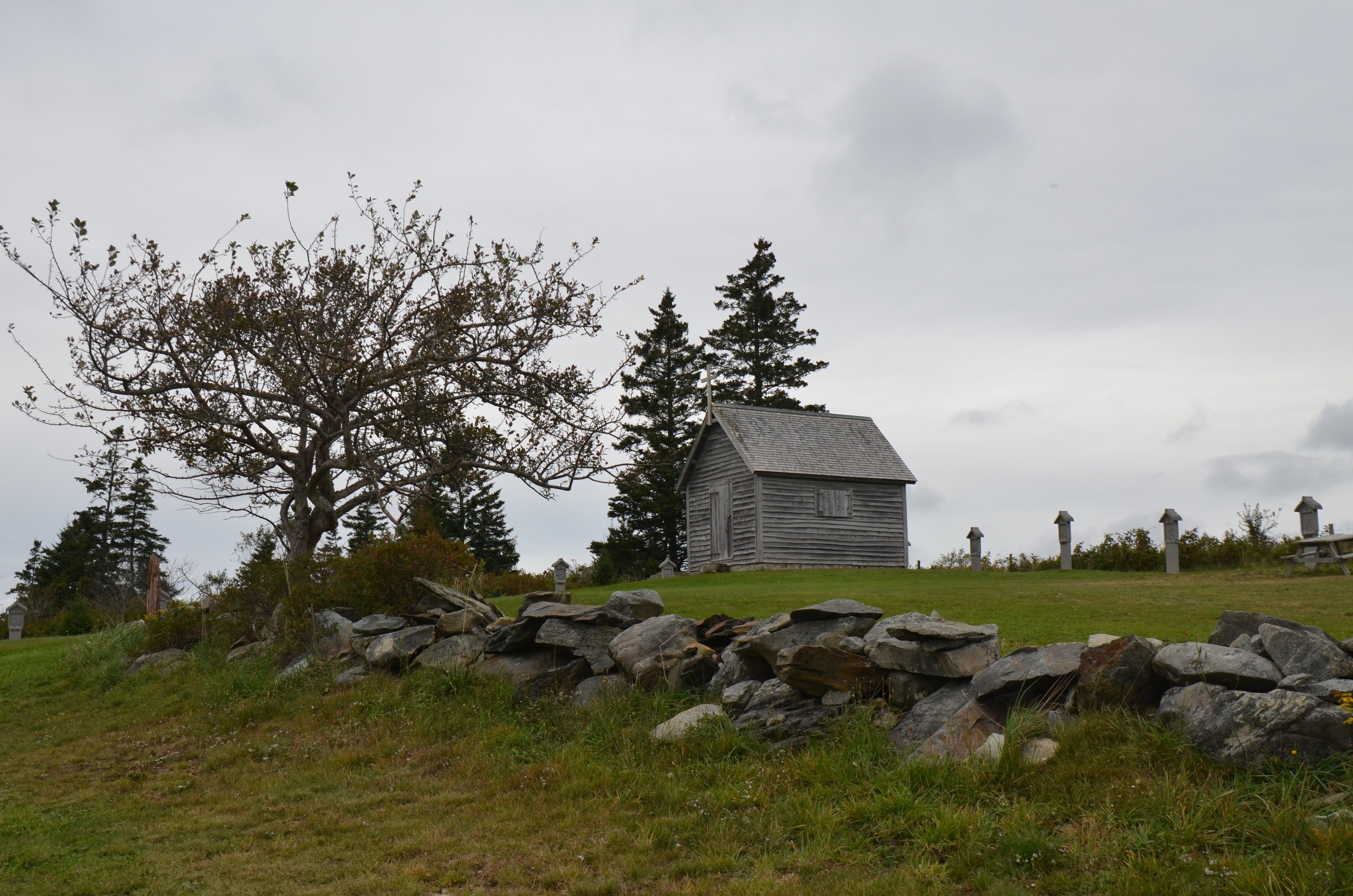
Chapelle de la Pointe-à-Rocco

Social Minecraft

Some Minecraft help from Rebecca d'Entremont

Paul Tufts explains history of AAMS

Playing bananas with Makey Makey

Dancing with Makey Makey
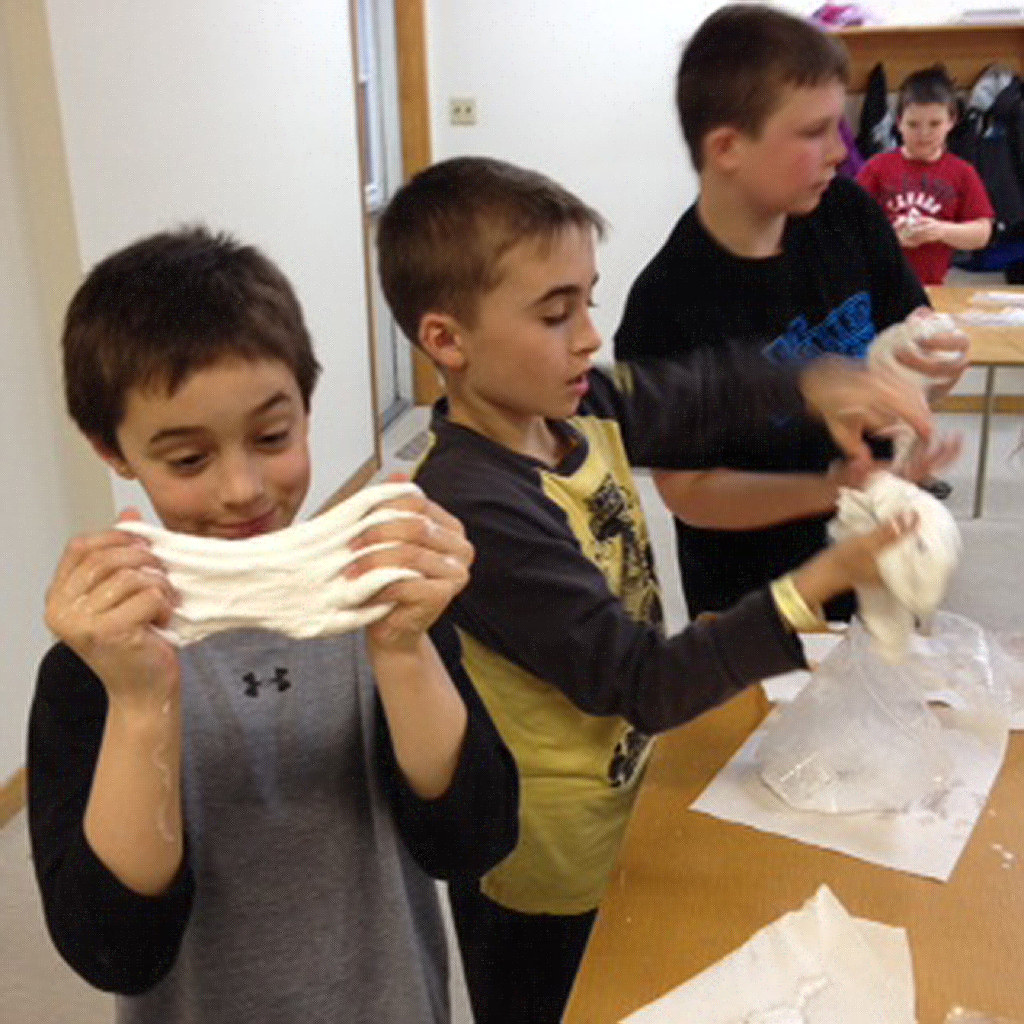
Playing with slime
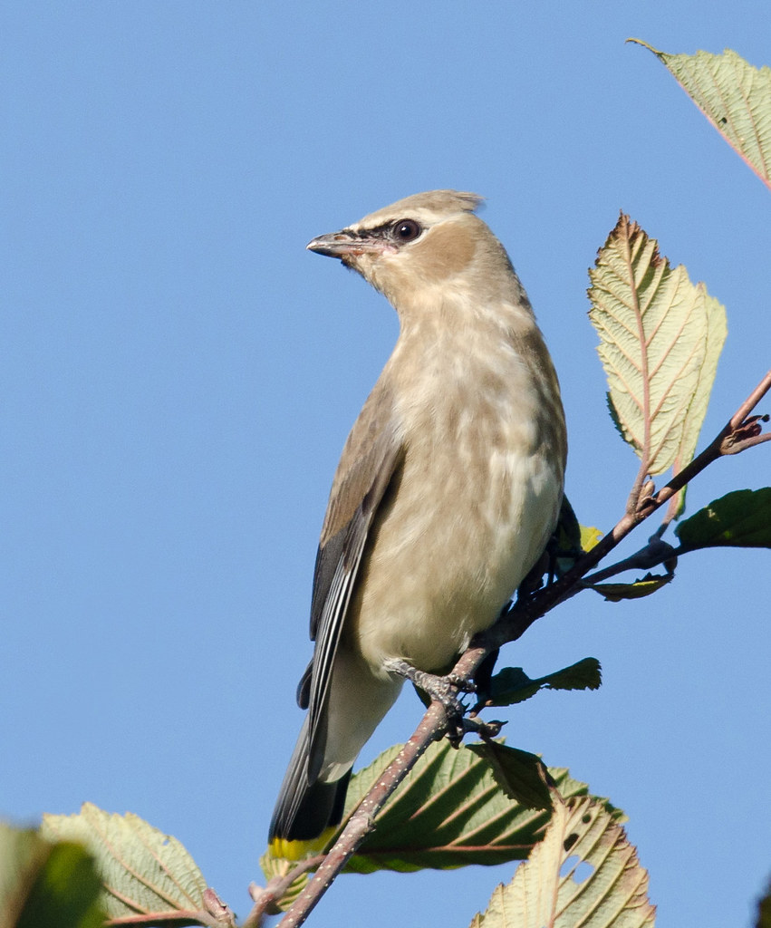
Juvenile Cedar Waxwing
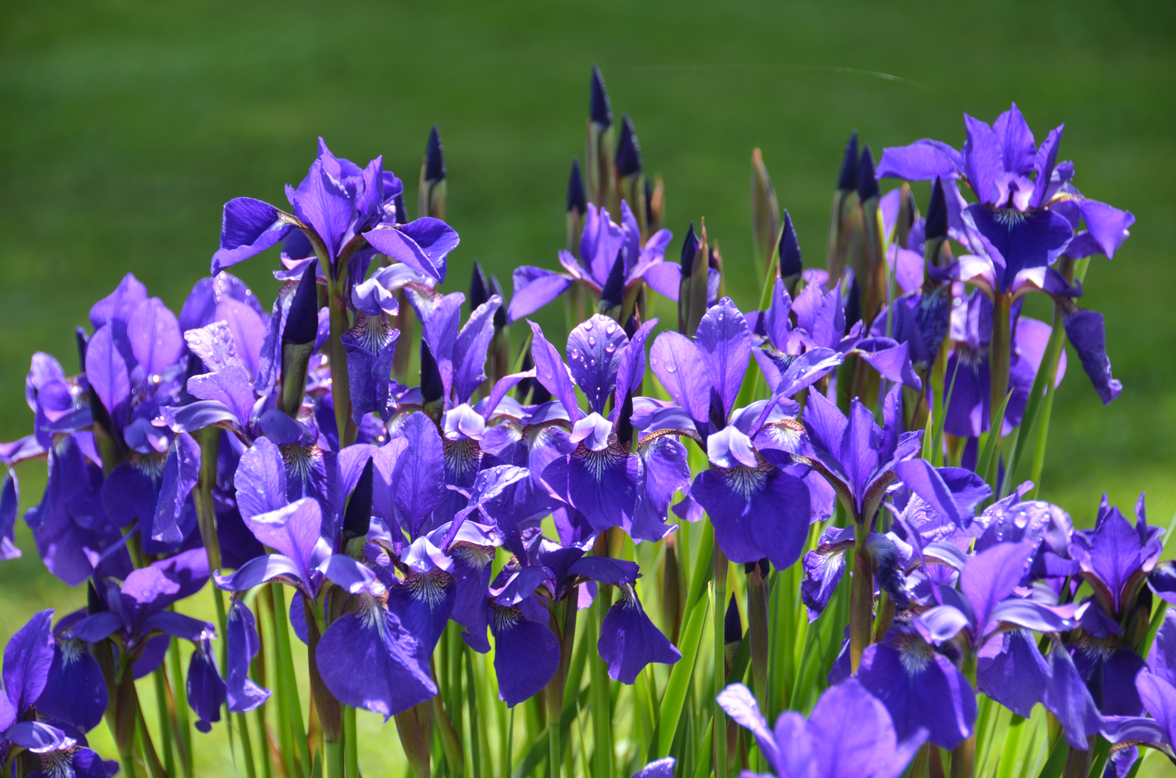
Juliette's Irises June 2013
Untitled 13 © James J Doucetteaaa
Untitled 14 © James J Doucetteaaa
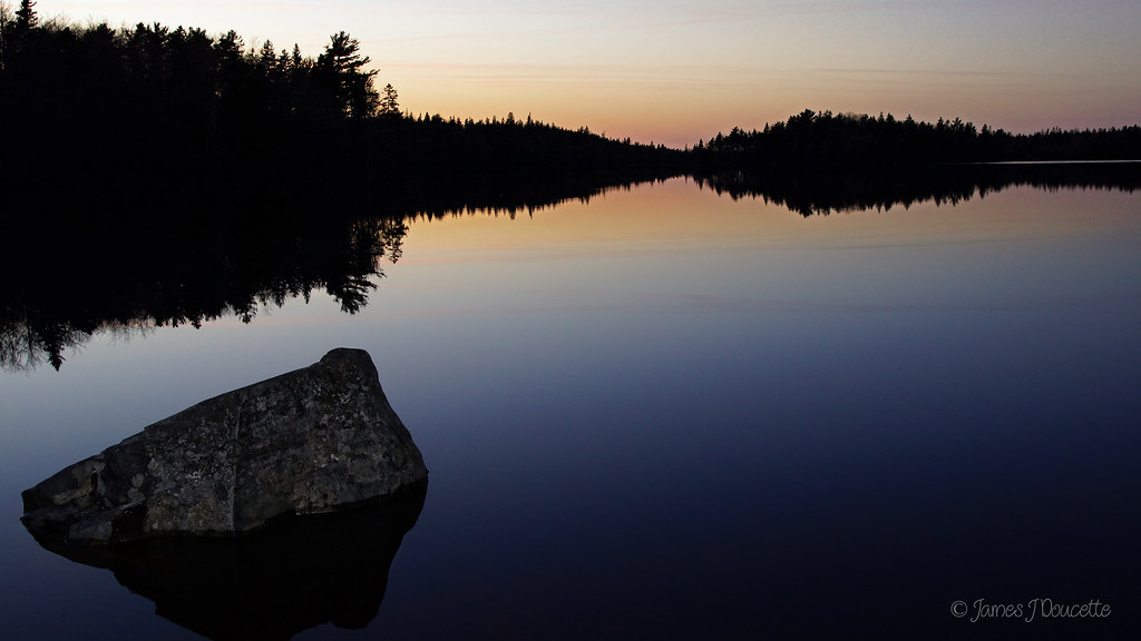
Untitled 15 © James J Doucetteaaa

DSC03247AAA © James J Doucette
Untitled2 © James J Doucetteaaa
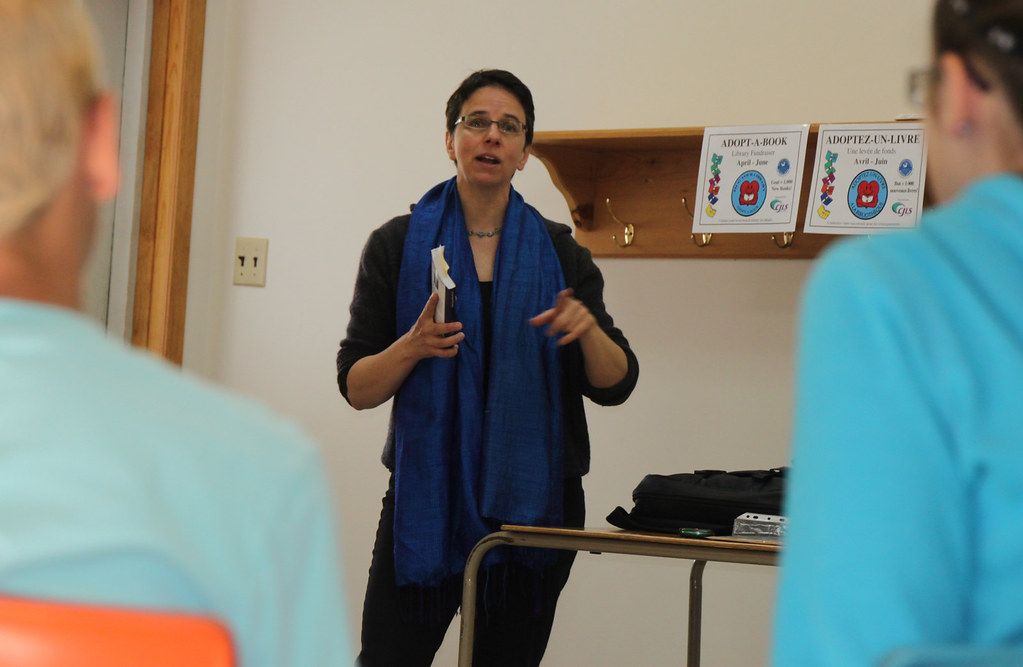
Sophie Bérubé discusses her book with students from Ecole Ouest Pubnico
Uh, I don't know if that is a good idea. #Pubnico #NovaScotia

Baby and Me at Pubnico library
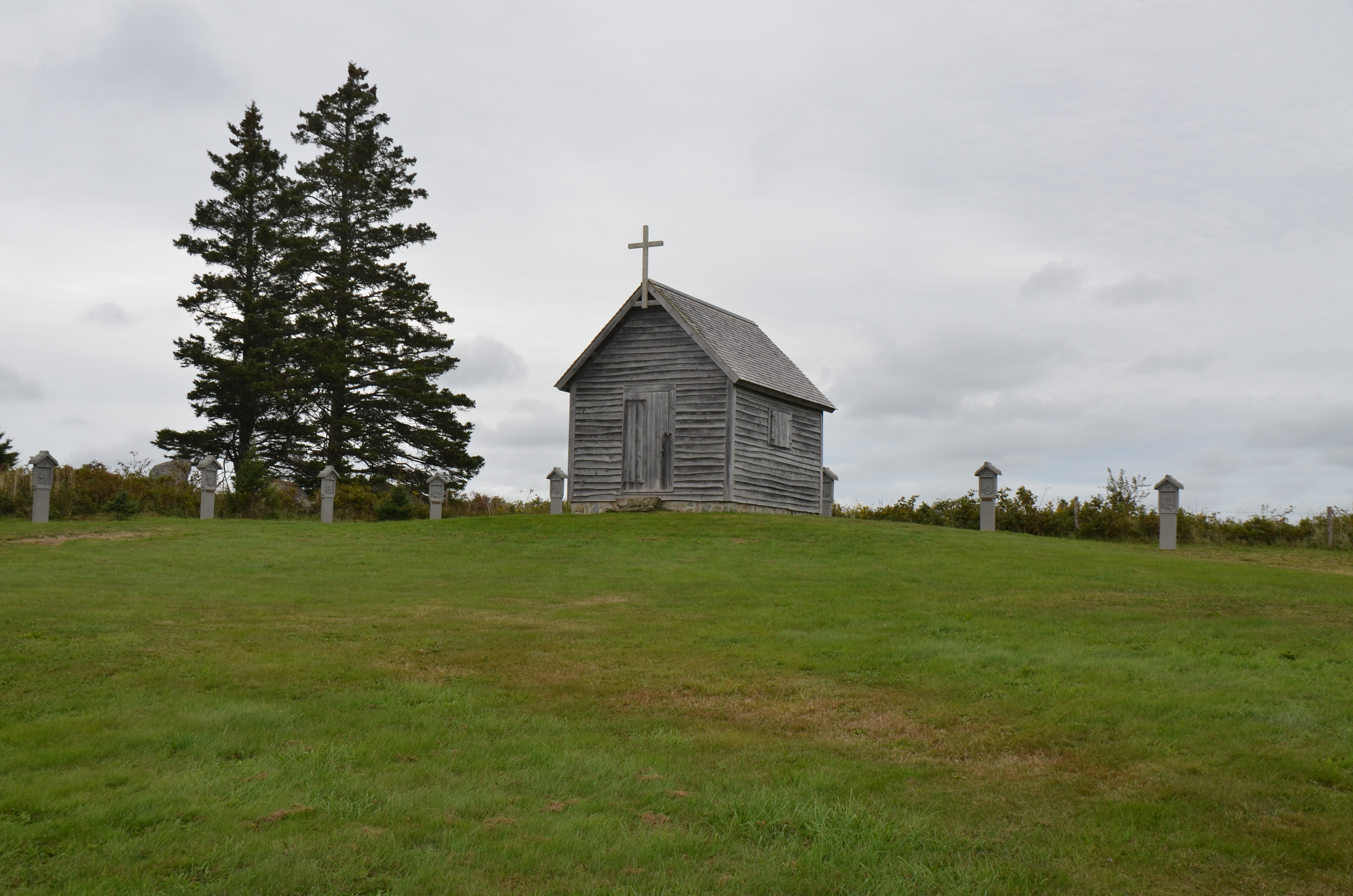
Chapelle de la Pointe-à-Rocco
Boot in Ste. Anne du Ruisseau
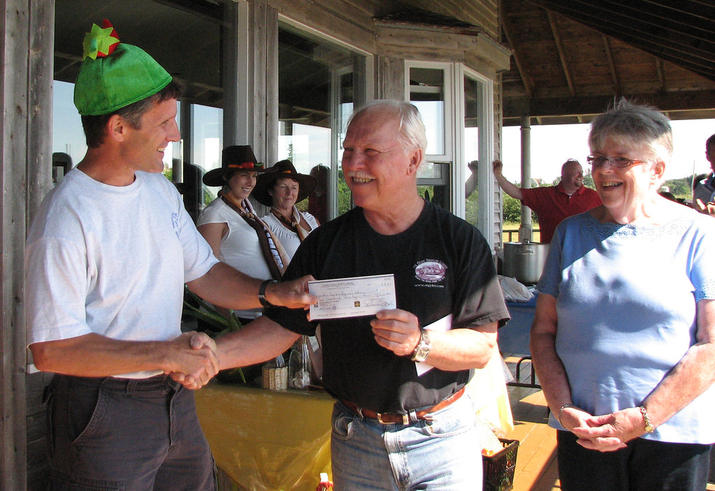
Generous donation from Abuptic Festival committee
Topographic Map of Argyle, NS, Canada
Find elevation by address:

Places in Argyle, NS, Canada:
Middle West Pubnico
Glenwood
Ste. Anne Du Ruisseau
Argyle
Tusket
NS-, Arcadia, NS B0W 1B0, Canada
Nova Scotia Trunk 3, Argyle, NS B0W, Canada
Middle West Pubnico
Middle West Pubnico
Middle West Pubnico
Middle West Pubnico
Middle West Pubnico
Middle West Pubnico
Middle West Pubnico
NS-, Arcadia, NS B0W 1B0, Canada
Tusket Islands
Pubnico
Lower West Pubnico
Argyle Sound
Wedgeport
Places near Argyle, NS, Canada:
Yarmouth County
Pubnico
Argyle
Nova Scotia Trunk 3, Middle West Pubnico, NS B0W 2W0, Canada
139 Ns-335
Nova Scotia Trunk 3, Argyle, NS B0W, Canada
6636 Ns-308
6636 Ns-308
6636 Ns-308
Argyle Sound Rd, Middle West Pubnico, NS B0W 2M0, Canada
Frost Island
1006 Argyle Sound Rd
Glenwood
Argyle Sound
Nova Scotia Trunk 3, Glenwood, NS B0W 1W0, Canada
Wilson Rd, Tusket, NS B0W 3M0, Canada
Middle West Pubnico
Middle West Pubnico
Middle West Pubnico
Middle West Pubnico
Recent Searches:
- Elevation of Corso Fratelli Cairoli, 35, Macerata MC, Italy
- Elevation of Tallevast Rd, Sarasota, FL, USA
- Elevation of 4th St E, Sonoma, CA, USA
- Elevation of Black Hollow Rd, Pennsdale, PA, USA
- Elevation of Oakland Ave, Williamsport, PA, USA
- Elevation of Pedrógão Grande, Portugal
- Elevation of Klee Dr, Martinsburg, WV, USA
- Elevation of Via Roma, Pieranica CR, Italy
- Elevation of Tavkvetili Mountain, Georgia
- Elevation of Hartfords Bluff Cir, Mt Pleasant, SC, USA