Elevation of Nova Scotia Trunk 3, Glenwood, NS B0W 1W0, Canada
Location: Canada > Nova Scotia > Yarmouth County > Argyle > Glenwood >
Longitude: -65.904177
Latitude: 43.8153558
Elevation: 17m / 56feet
Barometric Pressure: 101KPa
Elevation Map:
Satellite Map:
Related Photos:
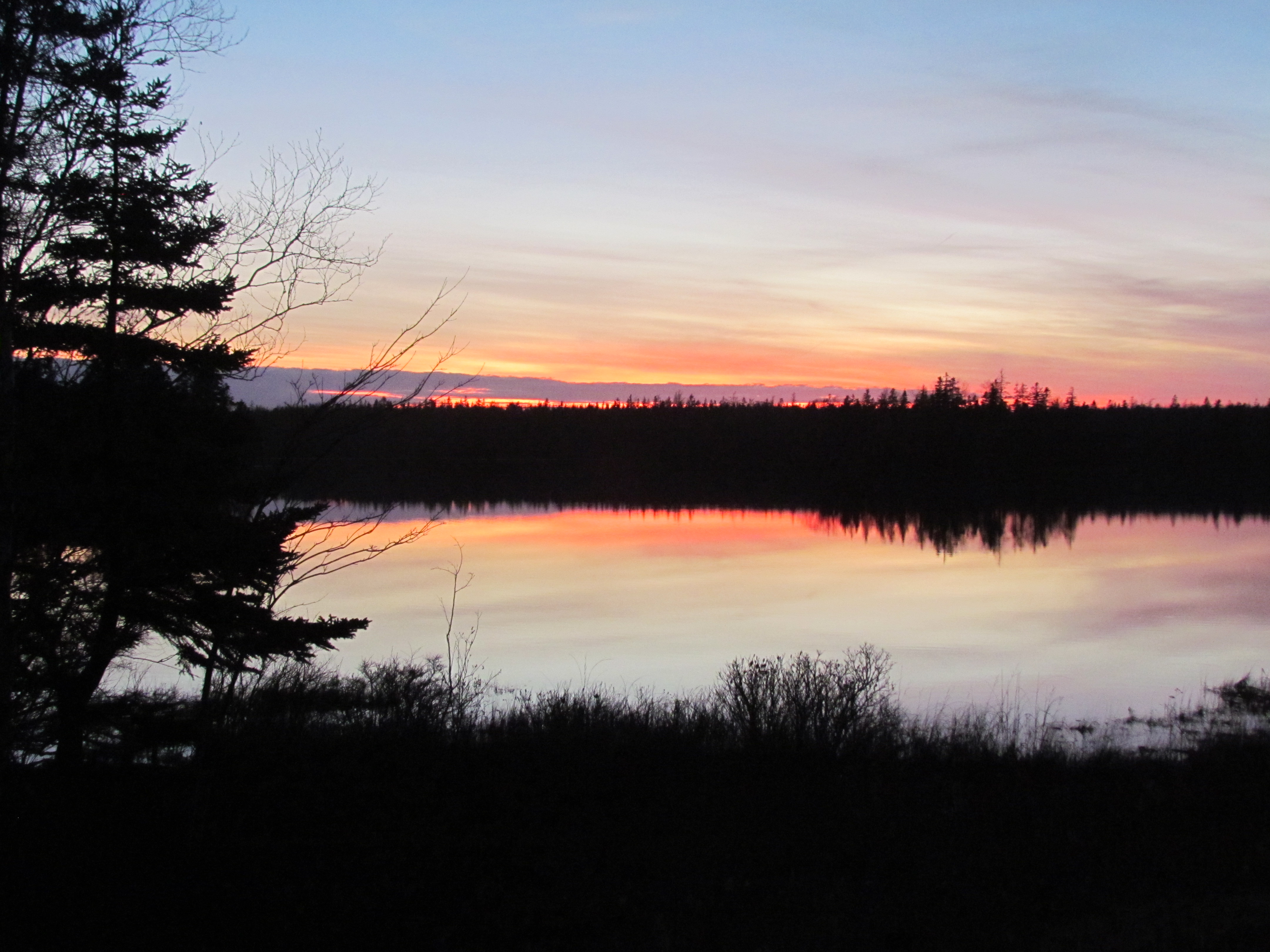
Sunset on Eel Lake, Nova Scotia
Spring skies

Acadia trip
Rundreise USA-Canada 17-34-00 Uhr 28. September 2009.jpg

Acadia trip
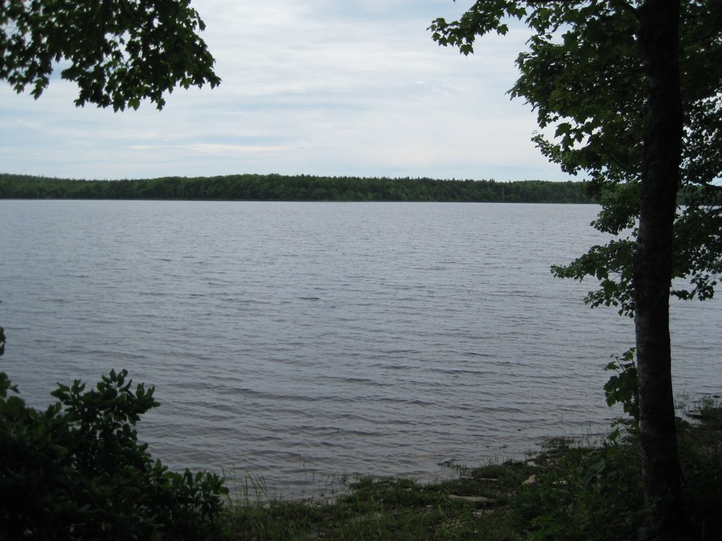
Ellenwood Lake Provincial Park
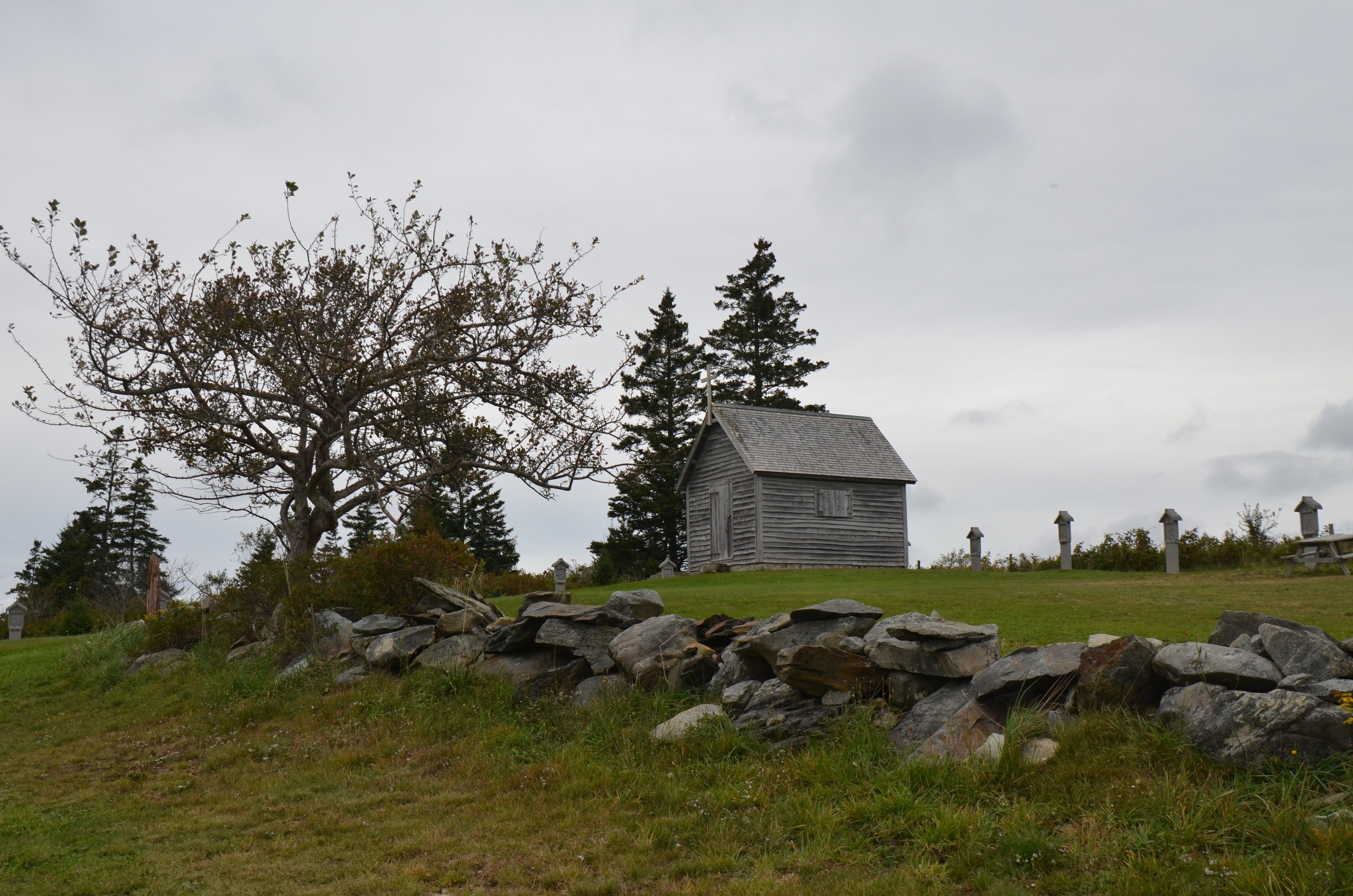
Chapelle de la Pointe-à-Rocco

Acadia trip

Acadia trip

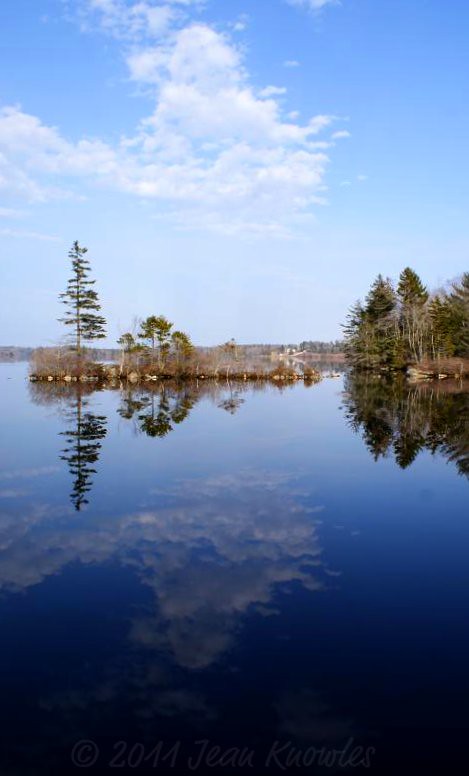
Ellenwood Sunset

Ellenwood Sunset
Topographic Map of Nova Scotia Trunk 3, Glenwood, NS B0W 1W0, Canada
Find elevation by address:

Places near Nova Scotia Trunk 3, Glenwood, NS B0W 1W0, Canada:
Ste. Anne Du Ruisseau
Glenwood
Belleville Rd, Ste. Anne du Ruisseau, NS B0W 2X0, Canada
Argyle
121 Belleville Rd
Tusket
Tusket River
NS-, Arcadia, NS B0W 1B0, Canada
NS-, Arcadia, NS B0W 1B0, Canada
879 Ns-334
Wilson Rd, Tusket, NS B0W 3M0, Canada
Yarmouth County
6636 Ns-308
6636 Ns-308
6636 Ns-308
400 Comeaus Hill Rd
Arcadia
262 Pitman Rd
South Ohio
Recent Searches:
- Elevation of Corso Fratelli Cairoli, 35, Macerata MC, Italy
- Elevation of Tallevast Rd, Sarasota, FL, USA
- Elevation of 4th St E, Sonoma, CA, USA
- Elevation of Black Hollow Rd, Pennsdale, PA, USA
- Elevation of Oakland Ave, Williamsport, PA, USA
- Elevation of Pedrógão Grande, Portugal
- Elevation of Klee Dr, Martinsburg, WV, USA
- Elevation of Via Roma, Pieranica CR, Italy
- Elevation of Tavkvetili Mountain, Georgia
- Elevation of Hartfords Bluff Cir, Mt Pleasant, SC, USA